
Place · 0 mi away
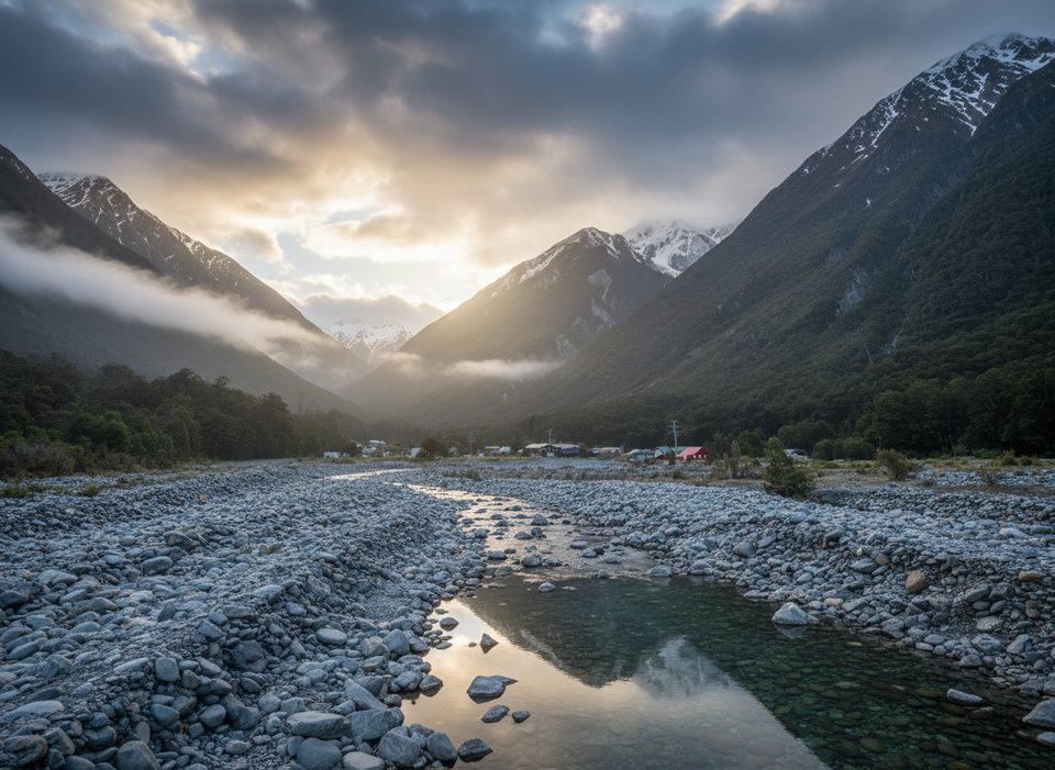
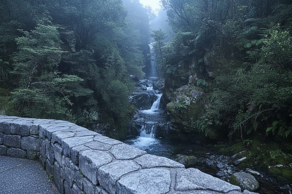
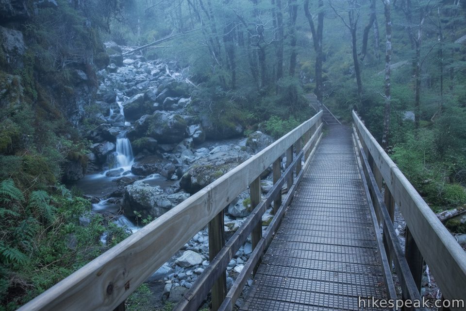
Rough Creek Bridge is a quick, practical pull‑off at the west end of Arthur’s Pass Village. It’s the no‑frills spot locals use to hop onto the Mt Bealey route, or to pause by the creek before pushing deeper into the alpine terrain. Expect a simple roadside stop rather than a viewpoint plaza.
There’s just a tiny roadside bay by the bridge—enough for a few cars, and it fills fast. There are no built toilets, taps, or shelters here, so arrive self‑sufficient.
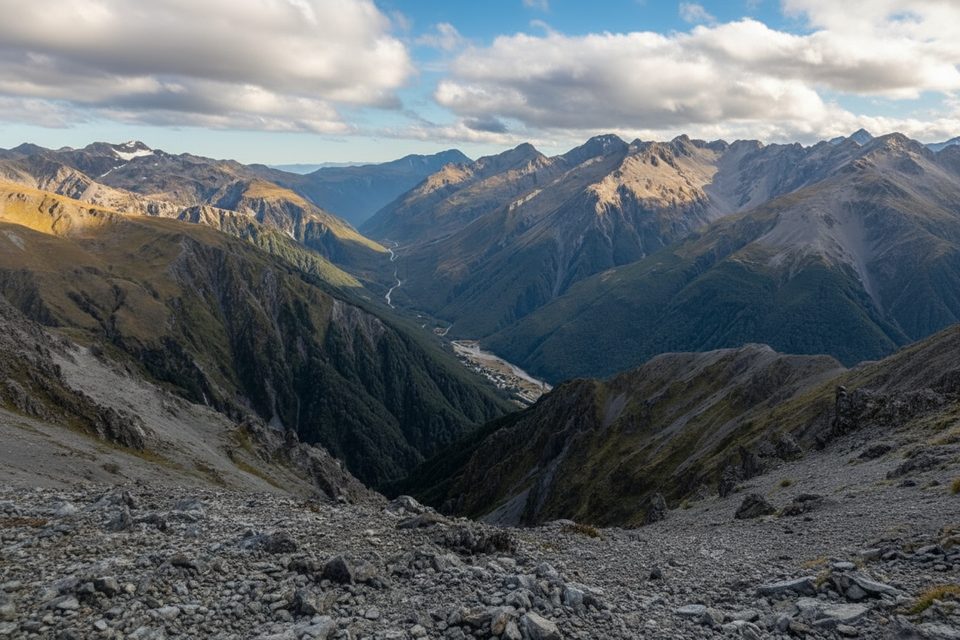
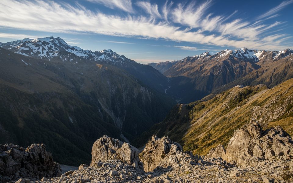
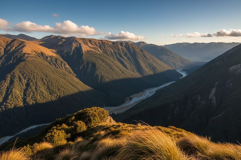
If you’re heading up Mt Bealey from here, the route quickly becomes an exposed ridge with steep drop‑offs and big valley views. Subalpine shrubs and tussock dominate, and on a clear day the outlook down the Rough Creek and Avalanche Creek catchments is the payoff. Turn back if the weather, wind, or footing feels sketchy.
Arthur’s Pass weather is alpine and fickle year‑round. Carry warm layers and a waterproof shell even on bluebird days. Wear sturdy footwear—the track above the bridge can be rough and narrow. Keep children close near cliffy sections and stick to the formed route.
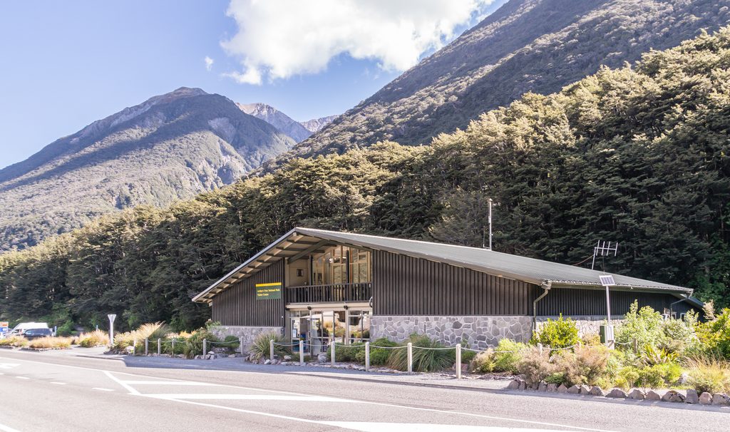
For toilets, use the signed public facilities in the village or the larger Punchbowl car park. The local DOC Visitor Centre is the best place to confirm track conditions and pick up last‑minute advice or water.
Kea often work the village area—clever, curious, and hard on unattended gear. Enjoy them from a distance and keep car doors and windows shut. Don’t feed birds.
Place · 0 mi away
Place · 0.1 mi away
Place · 0.3 mi away
Place · 0.5 mi away
Challenging · 0.1 mi away
Easy · 0.5 mi away
Challenging · 0.5 mi away
Easy · 1.1 mi away

Parkwolf Tour Guide
