
Place · 0 mi away
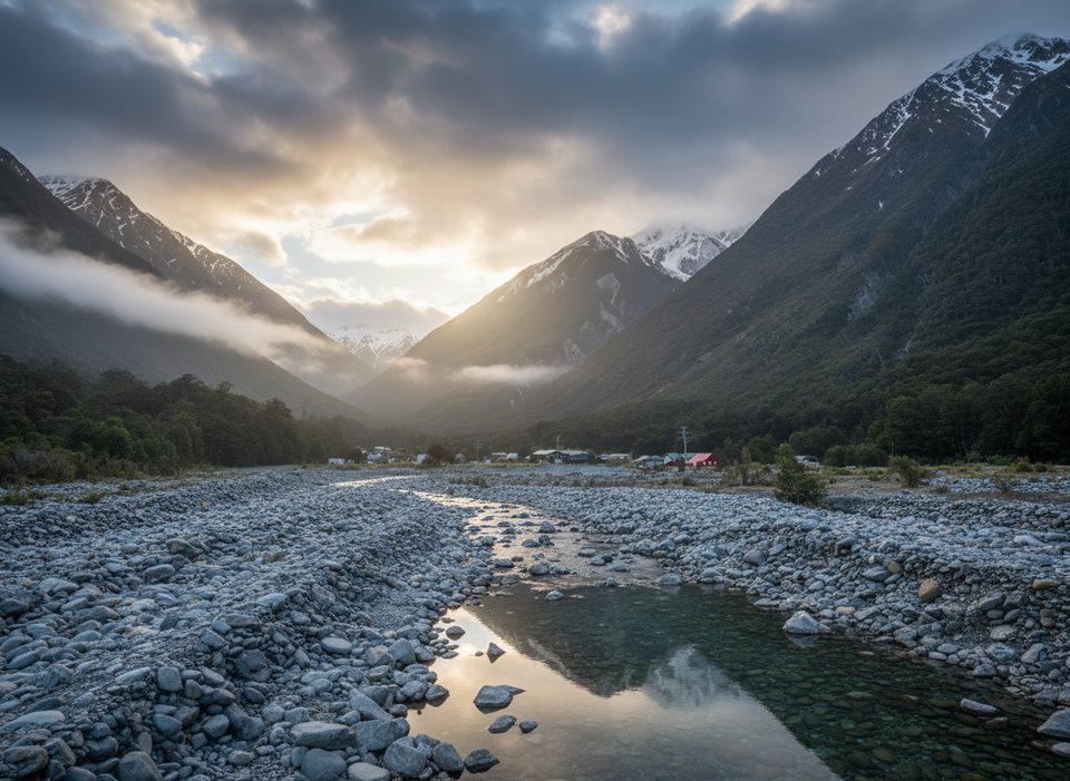
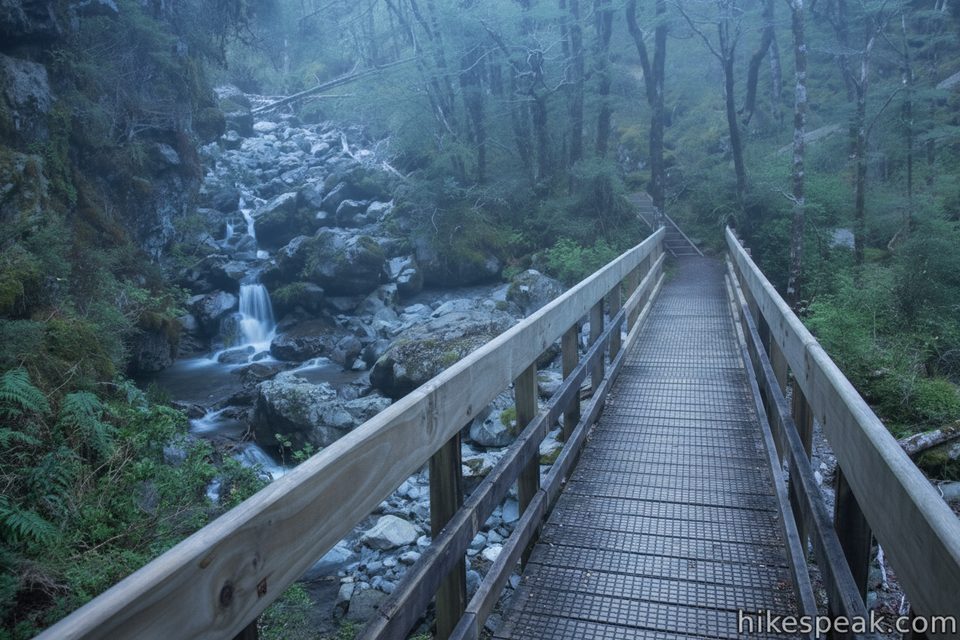
Rough Creek is exactly what it sounds like: a rugged creek run that doubles as a classic off-track adventure. Access is from SH73 near Arthur’s Pass village, just south of the Rough Creek bridge. It’s often linked into bigger alpine days on the Mt Bealey–Avalanche Peak tops, but it also works as a shorter exploratory boulder-hop up to the bushline on a warm day.
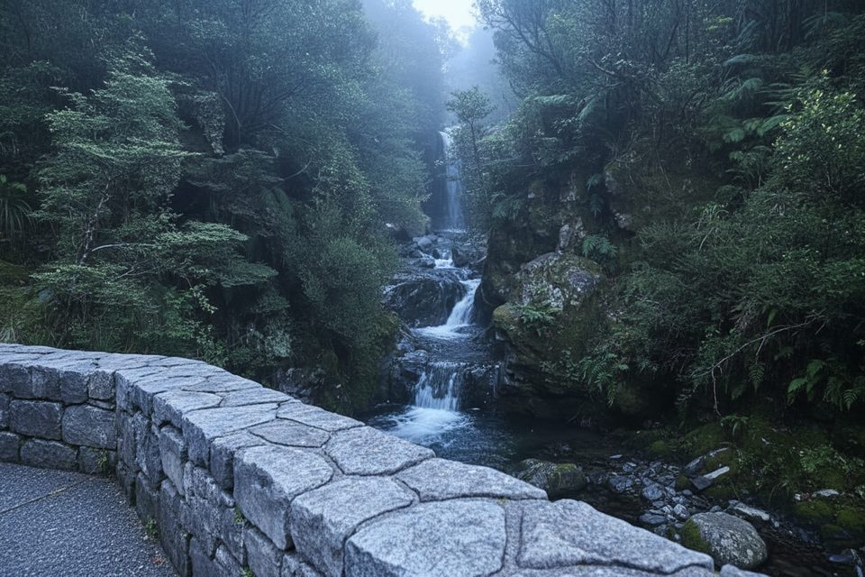
Expect sustained boulder-hopping with occasional scrambles around large blocks. Progress is slow and methodical; the rocks can be slick, and you’ll switch between creekbed travel and short bush detours where cairns hint at better lines. Pools appear along the way—great for a quick cool-down when it’s hot.
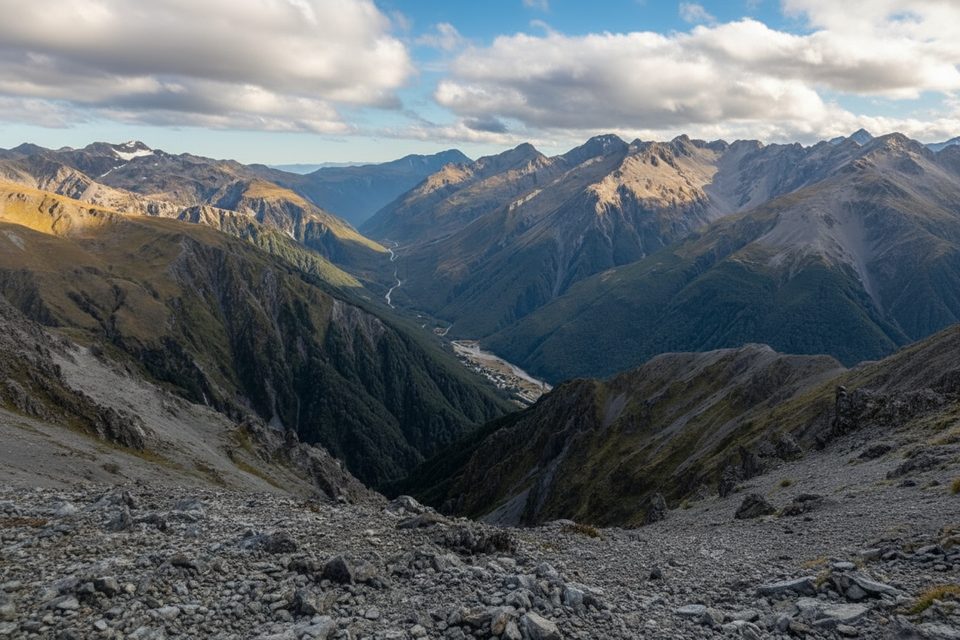
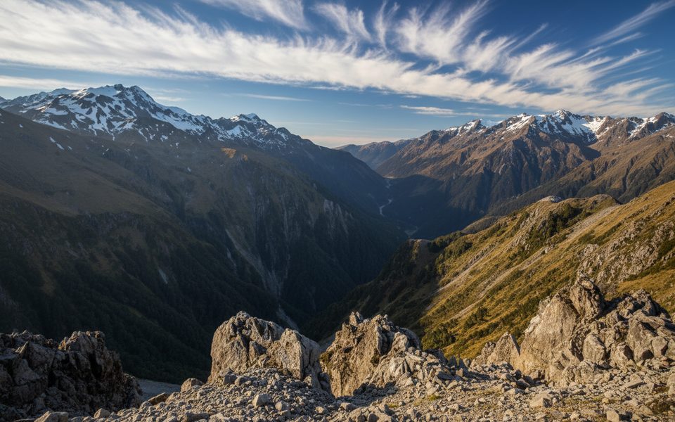
Above the valley, greywacke scree dominates—sometimes runnable, sometimes large, awkward gravel. The creek can rise quickly in rain, and the tops bring winter/spring snow, ice, and potential avalanche exposure. Navigation is unmarked and can be vague in clag. Come prepared with map/compass/GPS, warm layers, and a solid margin.
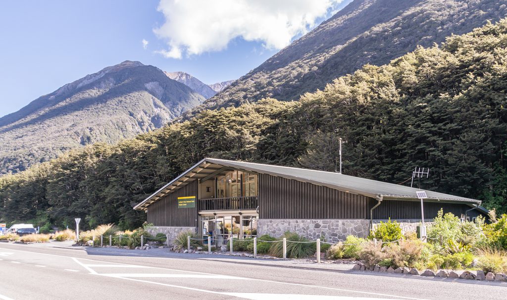
The approach starts near the Rough Creek bridge on SH73. There’s a carpark, but no listed toilets at the track start. Don’t plan on freedom camping at village trailheads; use designated DOC campsites in the area instead.
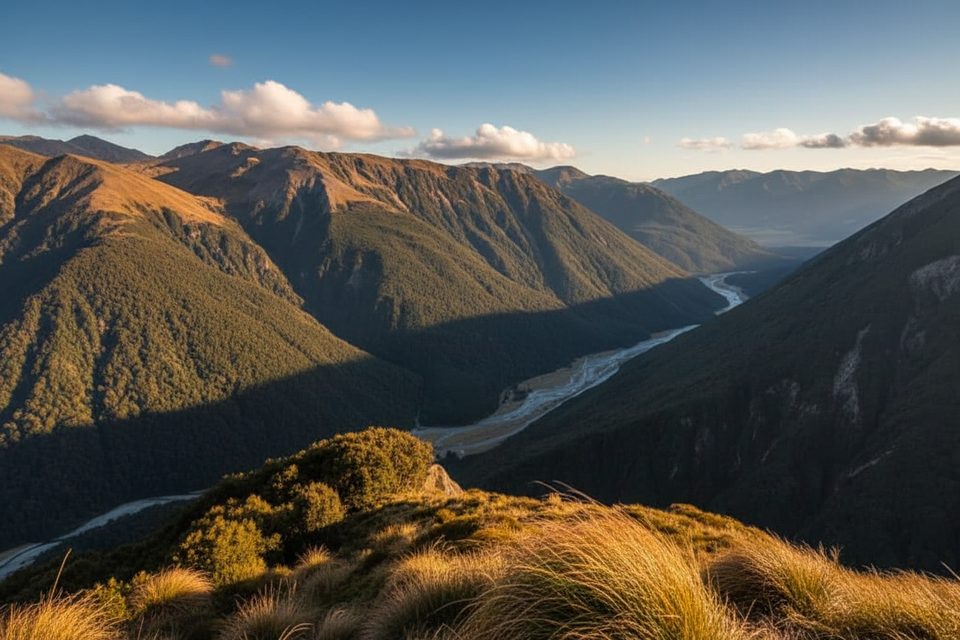
This is classic Arthur’s Pass country—fractured Torlesse greywacke shaped by rapid uplift and glacial carving. Freeze–thaw keeps the creekbed mobile and the scree loose, which is why it feels wild and, yes, rough.
In the lower creek you’ll move through red/silver beech forest with mossy gullies, stepping up to subalpine scrub and tussock near the bushline. Watch for kea around the alpine zones (guard your food and shiny gear), and you may hear rifleman or tomtit in the forest. Whio/blue duck occur in the wider Bealey/Waimakariri catchments.
Pick settled summer or early-autumn weather after a dry spell. Avoid the creek during heavy rain or rapid melt. In winter and spring, only consider upper routes with the skills and gear for snow/avalanche terrain.
Place · 0 mi away
Place · 0.1 mi away
Place · 0.3 mi away
Place · 0.5 mi away
Challenging · 0.1 mi away
Easy · 0.5 mi away
Challenging · 0.5 mi away
Easy · 1.1 mi away

Parkwolf Tour Guide
