Pros & cons
PROS
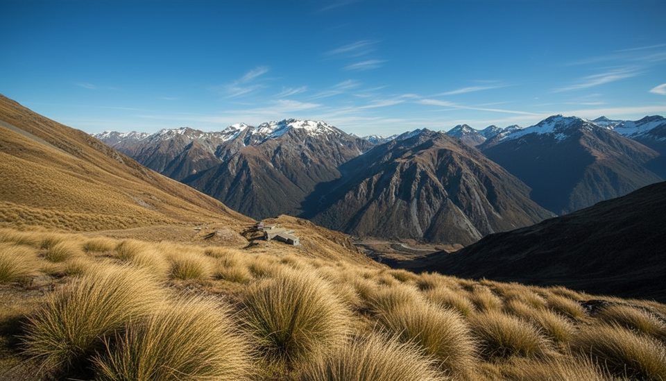
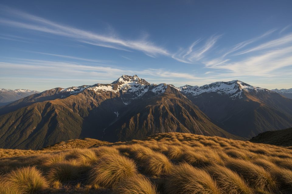
- Huge alpine views across the basin and toward Mt Rolleston
- Marked Temple Basin track and day-use shelter before the off-track push
CONS
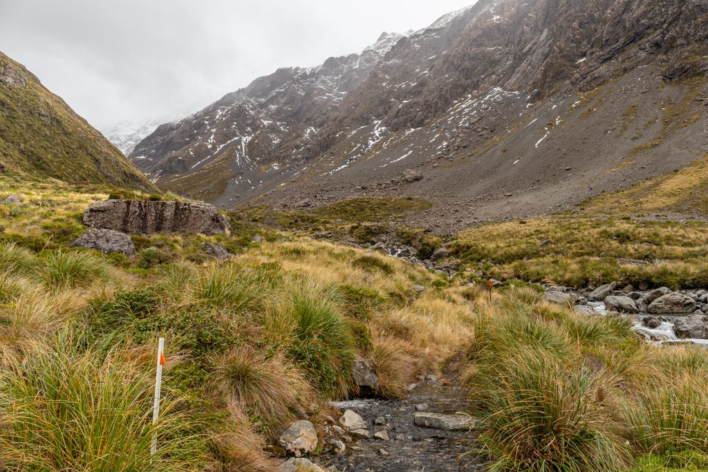
- Beyond Temple Basin the route is unmarked with steep, loose scree
- Avalanche terrain in winter/spring; ski-area control work may occur
Overview
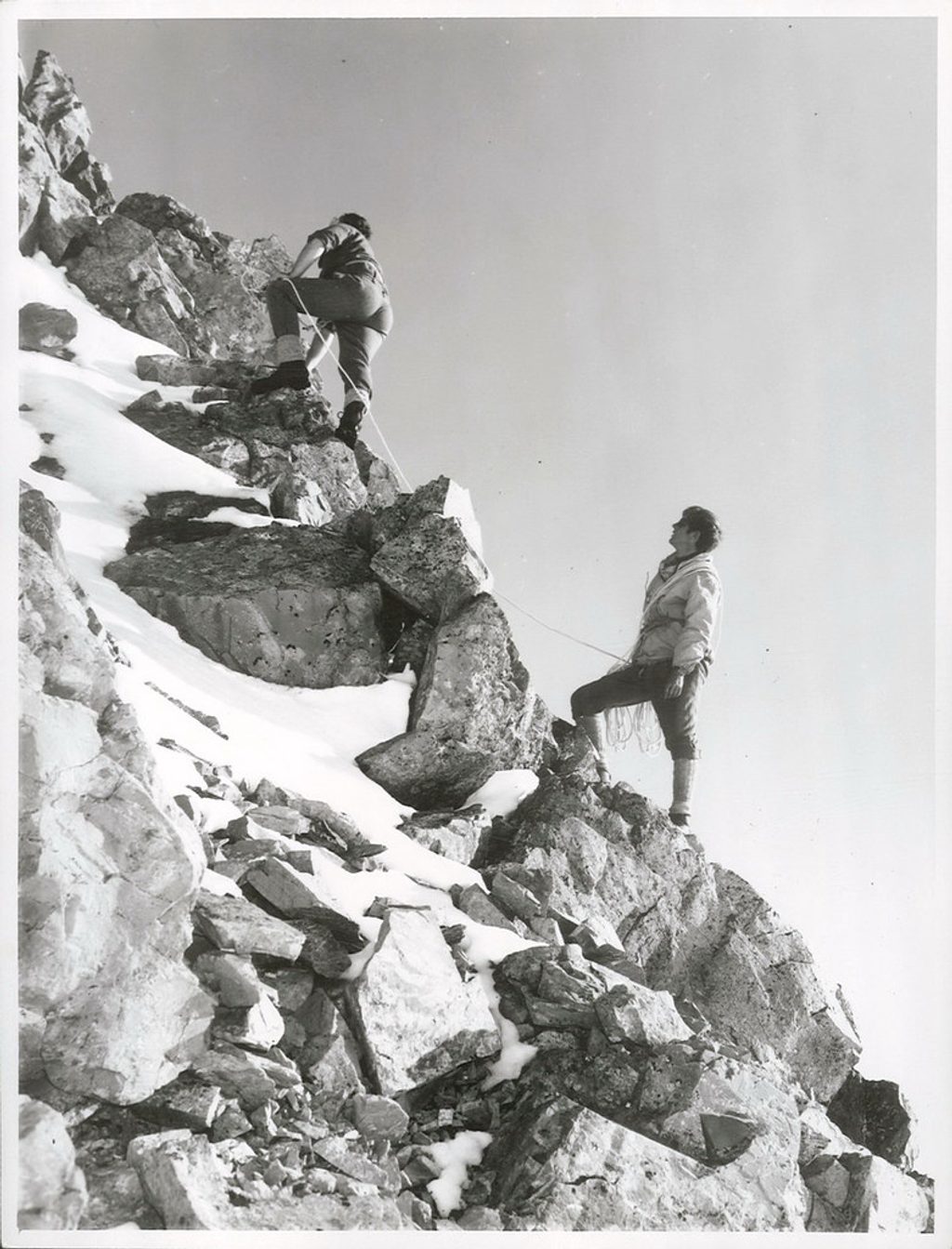
Mount Temple sits above Temple Basin and rewards experienced parties with broad, dramatic views. It’s a true alpine objective: you’ll use the steep, zigzagging Temple Basin Track to reach the ski-field basin, then continue off-track on rougher ground toward the summit.
Getting There & The Approach
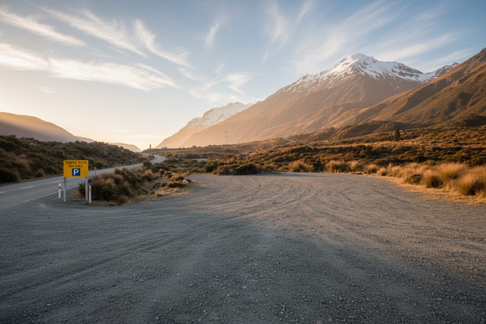
- Start from the Temple Basin roadside car park on SH73, a short drive from Arthur’s Pass village.
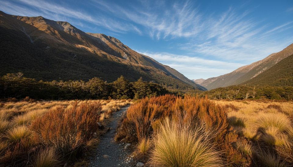
- The Temple Basin Track climbs steeply on a benched, rocky path with zigzags and DOC pole markers to the ski-field lodges and an open tussock basin.
- Typical stats to the lodges: roughly 5 km round trip, about 490 m elevation gain, 2.5–3 hours return for most fit hikers. Expect extra time and effort if you continue higher toward Mount Temple.
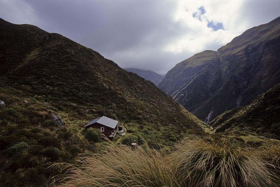
- Facilities at the basin include the Lockwood day shelter; beyond here there is no marked track to Mount Temple. The terrain becomes loose, with exposure in places.
What You’ll See
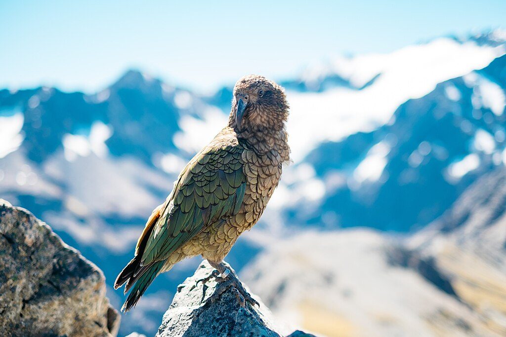
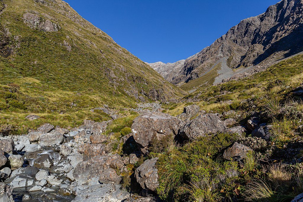
On clear days the outlook is superb, with a front‑row view to Mt Rolleston across the valley and sweeping alpine scenery. Expect classic Arthur’s Pass tussock and rocky ribs, plus photogenic alpine birdlife. From November to February, the basin often pops with alpine flowers.
Season & Conditions
Late summer to early autumn usually gives the driest rock and least snow. In winter and spring, this is avalanche terrain; carry appropriate skills and equipment and check the current advisory. When the Temple Basin ski area operates (late June to late October), avalanche control using explosives may occur—obey closures and seek local advice before crossing controlled zones.
Hazards & Essentials
Alpine weather changes fast. Strong footwear, warm layers, wind/rain protection, sun protection, food, and plenty of water are baseline. In frozen conditions, microspikes or crampons may be needed; if pushing beyond the basin, be prepared for off‑track travel on steep, loose ground and adjust equipment accordingly.
Logistics
- Parking: Small, unattended roadside car park on SH73—don’t leave valuables visible.
- Toilets: None at the car park. Flushing toilets and running water are available for day use at the Lockwood shelter in Temple Basin.
Best Time to Visit
Aim for settled-weather days. Late summer through early autumn is ideal for dry footing; November–February adds alpine flowers. Clear mornings often give your best views before cloud builds over the ranges.
Where it is
-42.8958, 171.5917Tips for Mount Temple
- 01There are no toilets at the SH73 car park—use village facilities before starting.
- 02Lockwood Day Shelter at Temple Basin has flushing toilets and running water.
- 03Late summer to early autumn offers drier rock and minimal snow cover.
- 04From Temple Basin, the route to Mount Temple is unmarked and off‑track—allow extra time.
- 05In winter/spring this is avalanche terrain; check advisories and carry appropriate gear.
Amenities
Near Mount Temple
All places →All trails →
1.2 mi awayTemple BasinSteep walk to a classic club ski basin with big alpine viewsTrailhead · Restroom
1.2 mi awayTemple Basin Car Park Picnic AreaBasic roadside trailhead, not a picnic spotParking · Trailhead
1.3 mi awayArthur's Pass SummitSummit lookout and Dobson Memorial via an easy alpine strollTrailhead · Parking
1.5 mi awayMingha/Deception Route TrailheadGateway to the classic Goat Pass traverse via river valleysTrailhead · Parking
1.7 mi awayOtira Valley TrackShort alpine valley to a tiny bridge with big Southern Alps viewsModerate · 2.3 mi · 1.5 hr
1.7 mi awayMt Philistine via Otira ValleyShort approach, big alpine punch: bluffs, scree, and glacier viewsChallenging · 5.5 mi · 7 hr
2 mi awayTemple Basin TrackShort, steep climb to big alpine views and a quirky ski basin shelterModerate · 3.1 mi · 2.8 hr
2.3 mi awayBealey Valley TrackQuick forest stroll to Bealey Chasm and Mt Rolleston viewsEasy · 1.5 mi · 48 min