
Place · 0 mi away
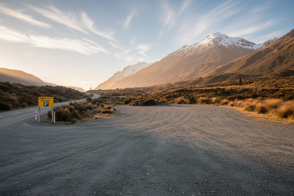
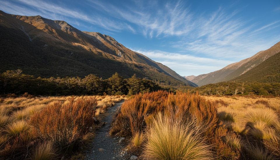
This is the simple roadside starting point for the Temple Basin Track, about 5 km north of Arthur’s Pass village on SH73. Despite the name some maps use, there’s no developed picnic area here—treat it as a basic car park and launchpad for the steep climb to Temple Basin.
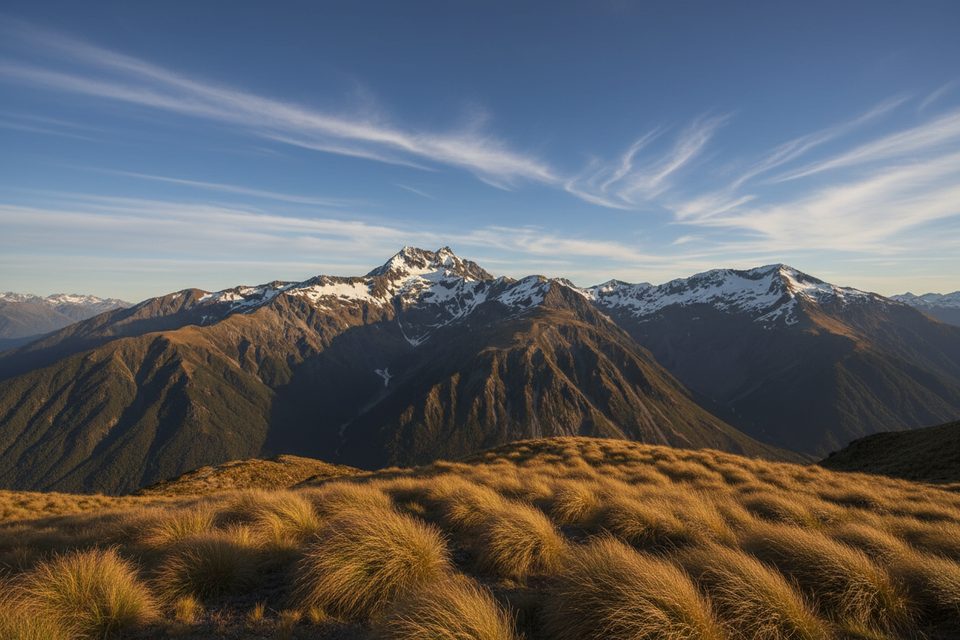
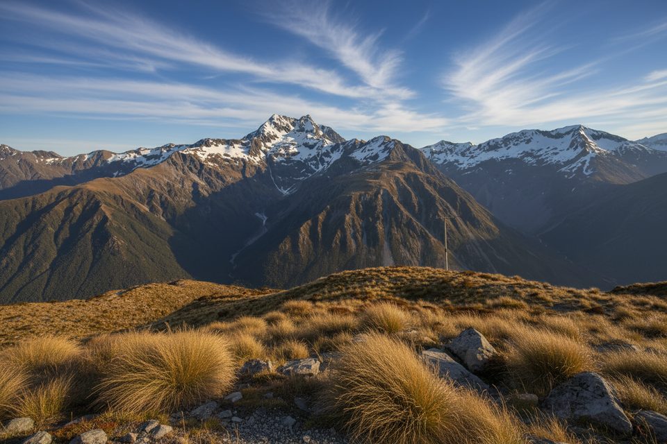
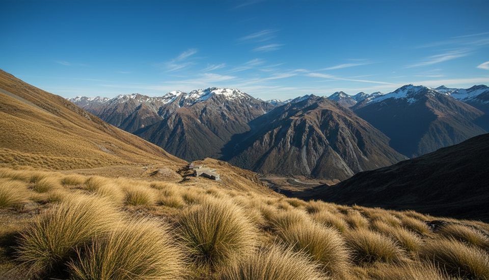
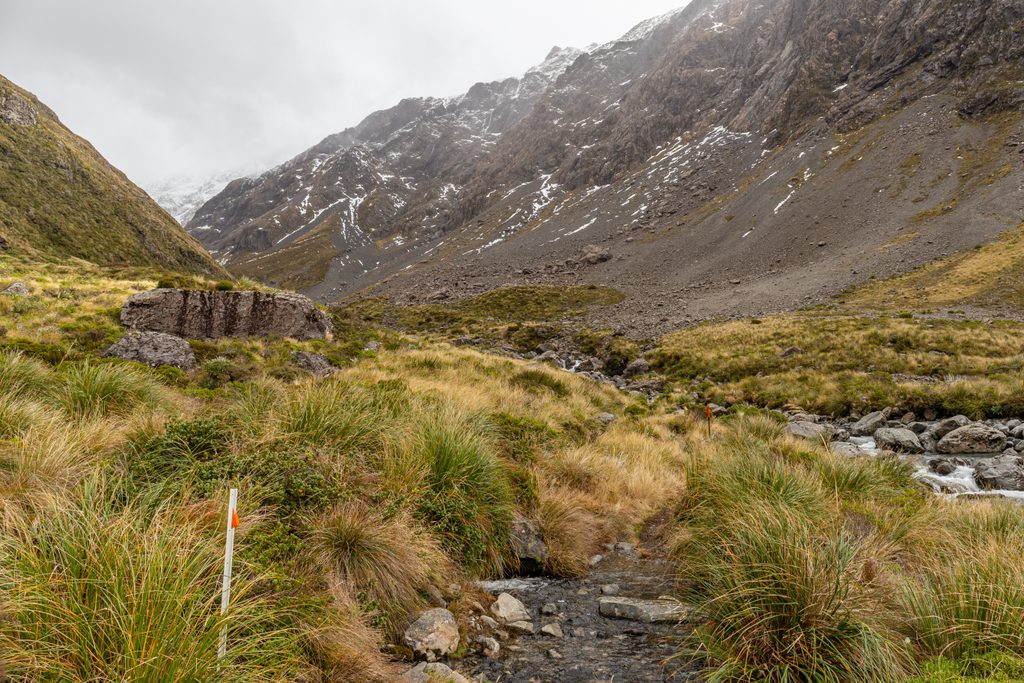
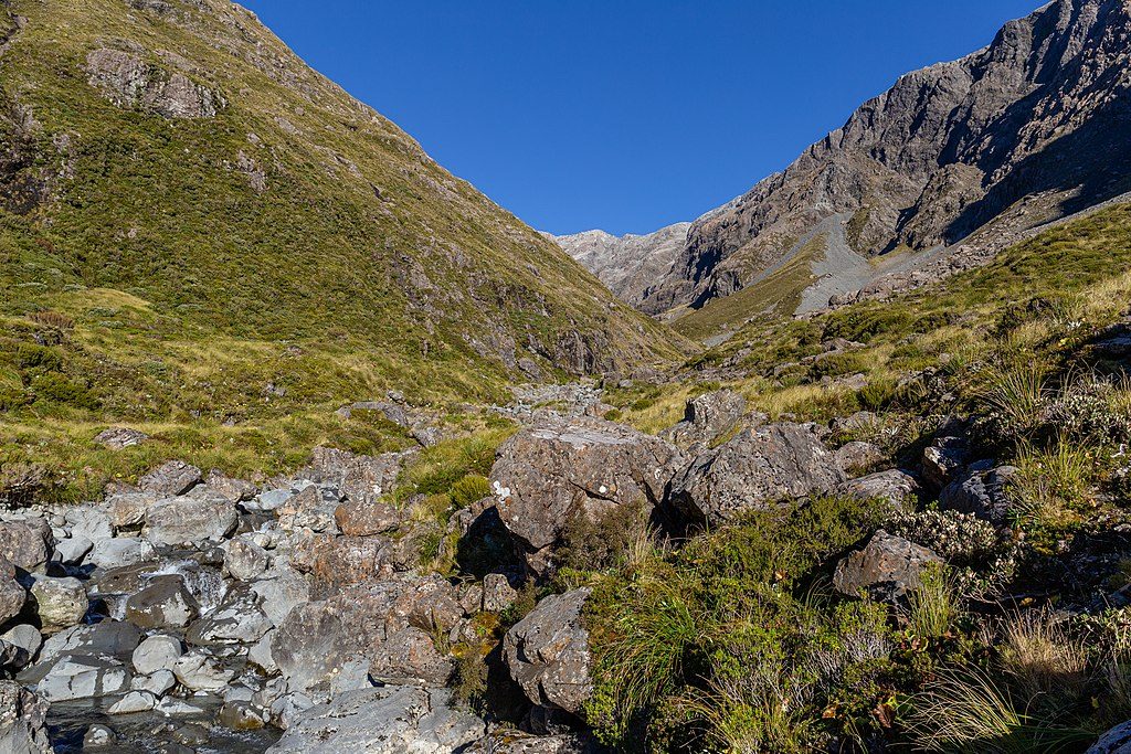
From the car park the Temple Basin Track climbs steeply on rocky zigzags to the ski club buildings and the Lockwood Day Shelter above the bushline. Expect rough, bouldery sections—good footwear (and poles for the descent) make a difference. Allow roughly 2.5–3 hours for the out-and-back, depending on conditions and how far you go. Big views open toward Mt Rolleston as you gain height. A goods lift sits about 800 m west of the car park and sometimes sends bags up to the lodges when operating.
Weather turns fast in this alpine zone. The marked route effectively ends at the Lockwood Day Shelter; beyond is serious, largely unmarked terrain. From May–November, avalanche danger exists higher up, and in winter the ski area may conduct control work—check for closures and advisories before you go.
At the Lockwood Day Shelter you’ll find flushing toilets and running water for day use (bring your own toilet paper). There are no such facilities at the car park itself.
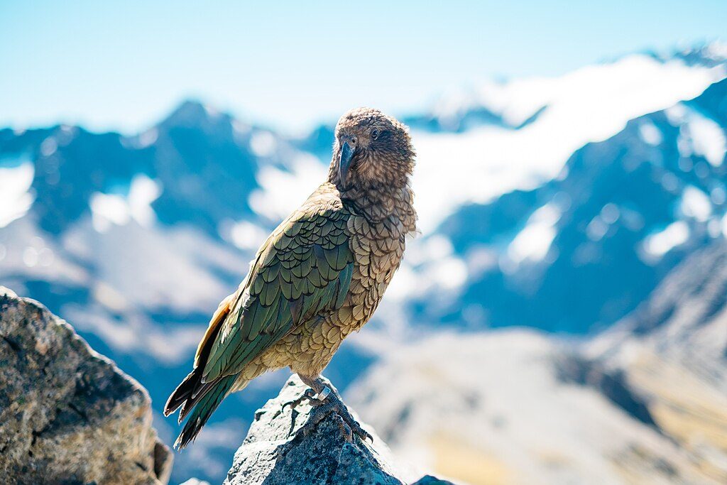
Kea are known in this area—curious birds that will investigate unattended food and shiny gear. In fine years, alpine flowers typically bloom from November to February, adding a splash of color to the basin.
Place · 0 mi away
Place · 0.8 mi away
Place · 0.9 mi away
Place · 0.9 mi away
Moderate · 0.9 mi away
Moderate · 1.1 mi away
Challenging · 1.1 mi away
Easy · 1.1 mi away

Parkwolf Tour Guide
