
Place · 1.3 mi away
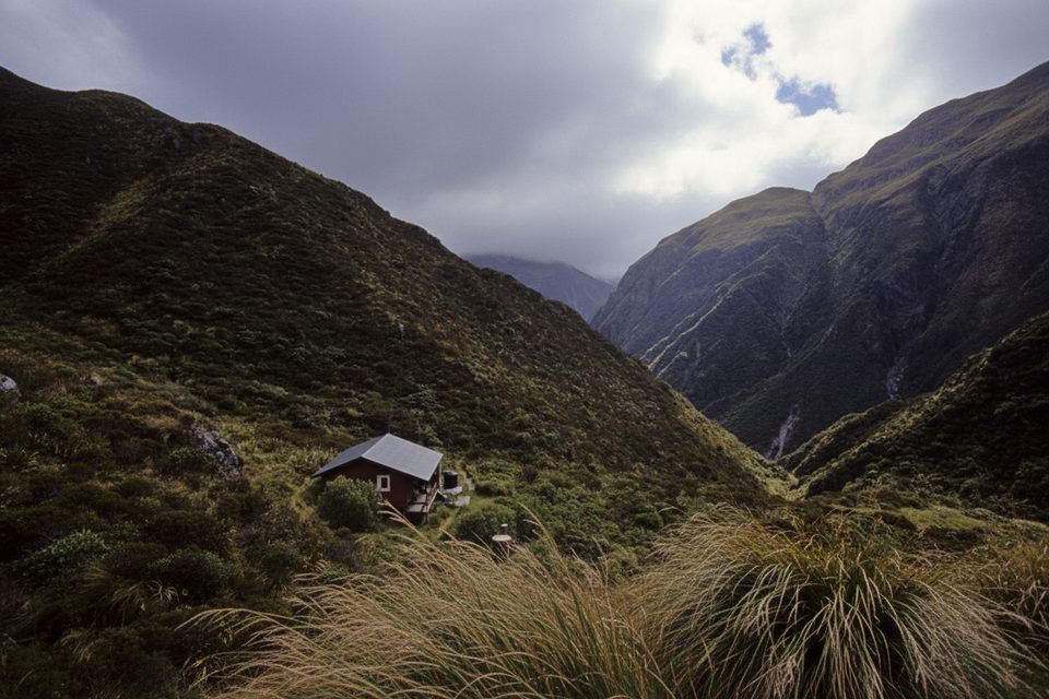
These are the bookends of the classic Mingha–Deception traverse over Goat Pass—a demanding backcountry route that also carries Te Araroa and the Coast to Coast mountain stage. Start from the east at Greyneys Shelter or from the west at Morrisons Footbridge; either way, you’re committing to real river travel and alpine weather.
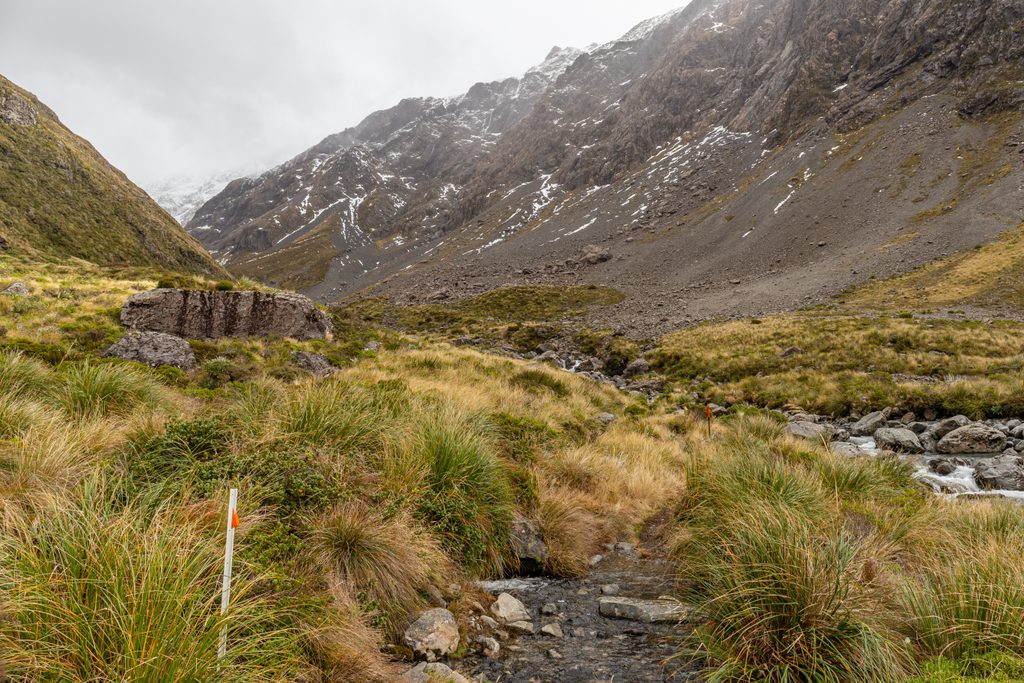
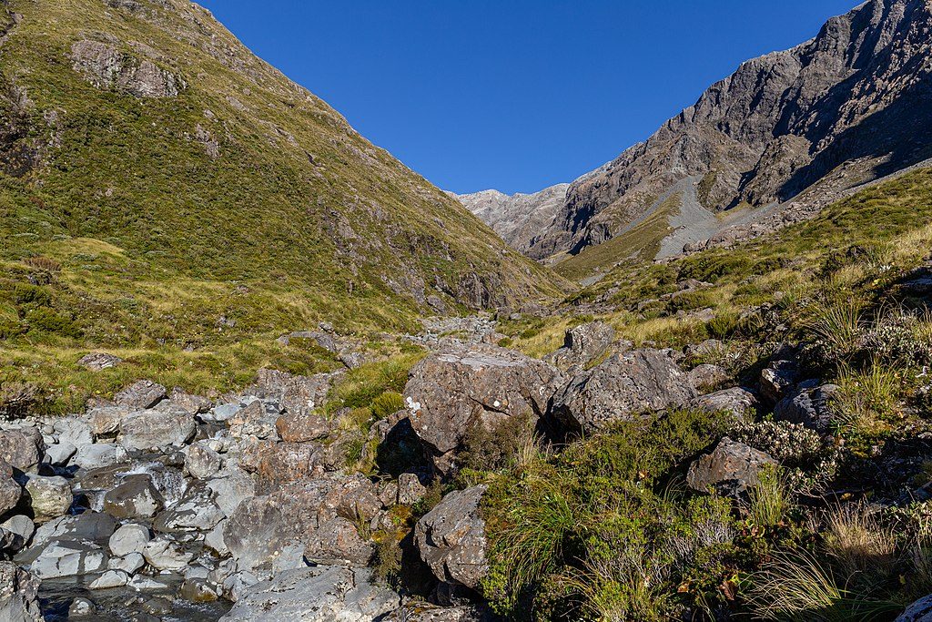
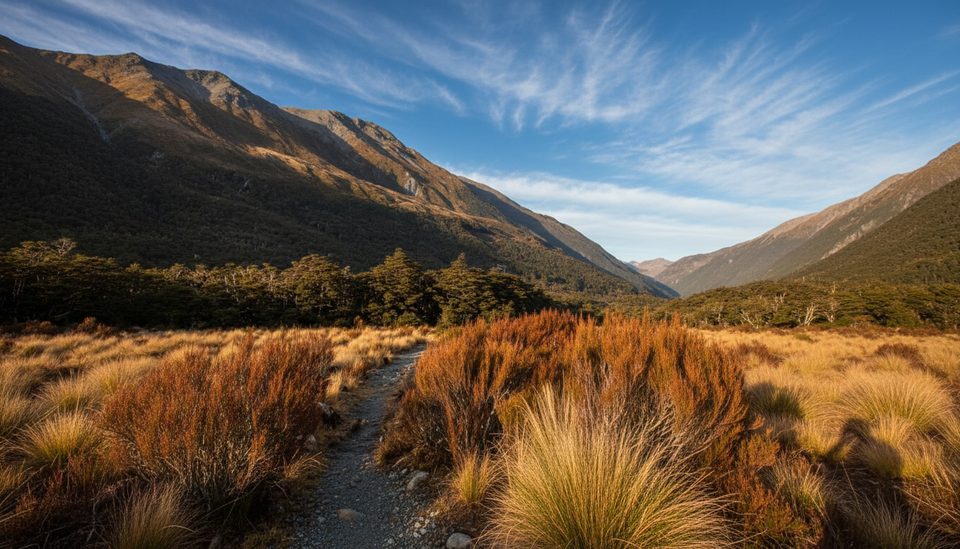
Expect frequent river crossings (the Deception side can require many) and long stretches in riverbeds with only intermittent marked track. From the east, you’ll follow the Mingha toward Goat Pass; from the west, you’ll work up the Deception to the same saddle. Boardwalks protect fragile alpine bogs near the pass. Typical times to Goat Pass Hut: about 5 hours from the east, 8–9 from the west.
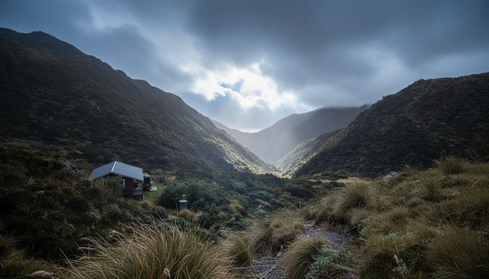
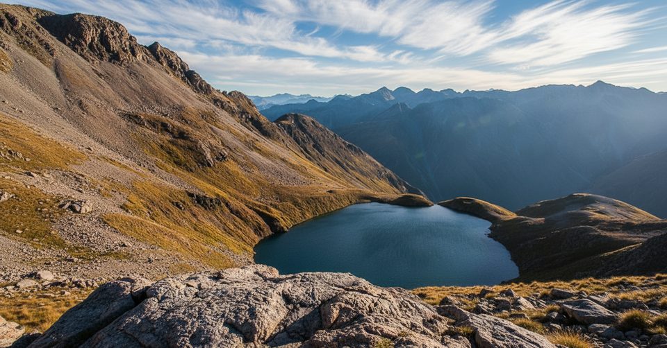
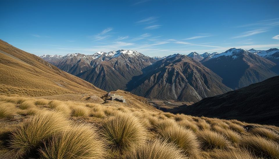
Goat Pass Hut sits just north of the pass and has a radio link to the Arthur’s Pass Visitor Centre during office hours. Along the way are tiny Mingha Bivvy and Upper Deception Hut. If conditions are stable in summer, the steep side trip to Lake Mavis from the pass is a rewarding bonus.
This corridor is important for blue duck/whio. If you’re lucky enough to spot them, report sightings to the Visitor Centre.
Daily shuttle services run between Christchurch and Greymouth, which many parties use to avoid leaving vehicles at either end.
November through April offers the most reliable conditions. Aim for settled weather windows; this is not a "rain or shine" outing. Start early to give yourself time for cautious river travel, and always check current track and avalanche advisories with the Arthur’s Pass Visitor Centre before you go.
Place · 1.3 mi away
Place · 1.3 mi away
Place · 1.5 mi away
Place · 1.9 mi away
Moderate · 3.1 mi away
Challenging · 3.1 mi away
Moderate · 3.6 mi away
Easy · 3.9 mi away

Parkwolf Tour Guide
