
Place · 0 mi away
Challenging
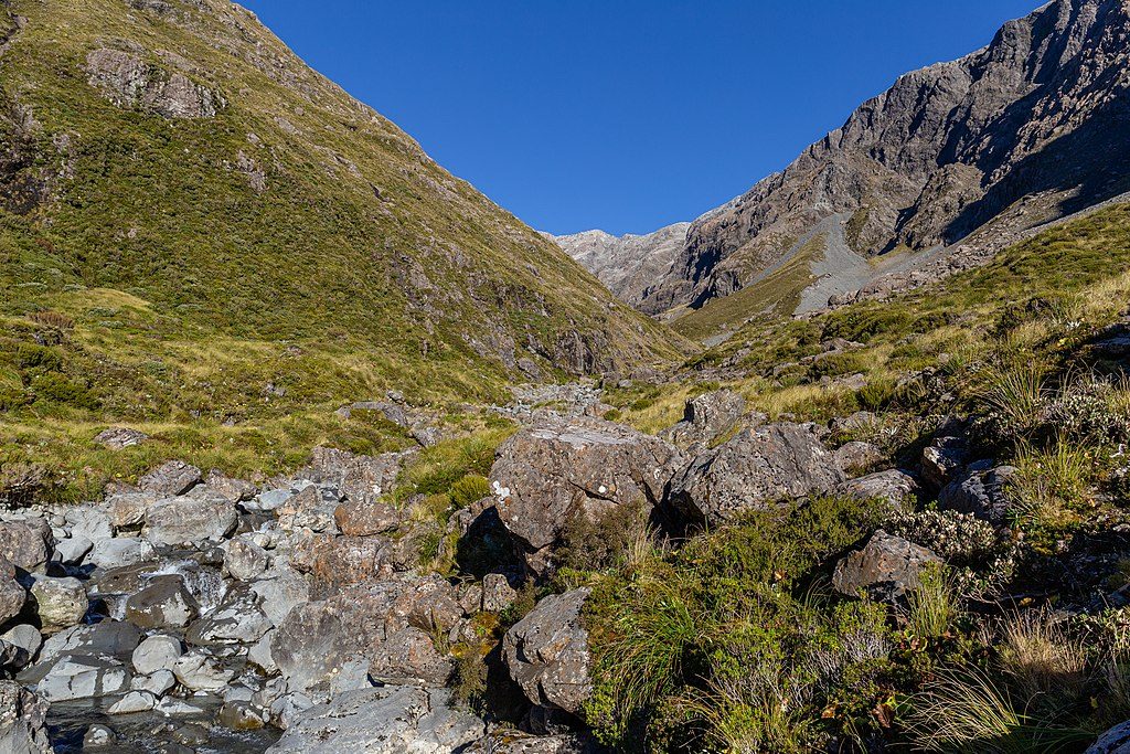
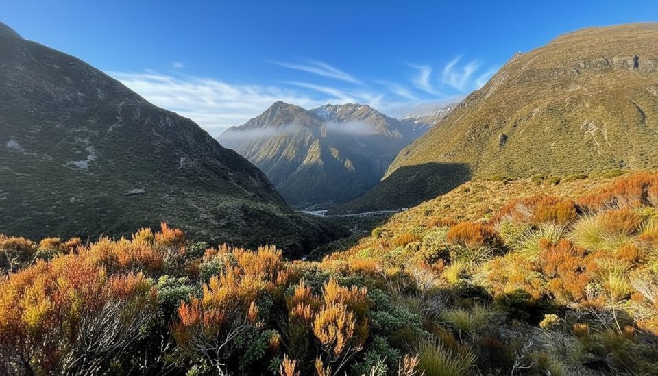
A demanding alpine route to Mt Philistine (1967 m) with outsized views of the Rolleston Glacier and nearby Mt Rolleston. Expect rugged, off‑track travel above the Otira Valley footbridge, including a short bluff band and plenty of loose rock. This is not a casual walk—come for adventure and exposure. Distance is roughly 5.5 miles total out and back, with about 3,600 feet of vertical gain, typically taking 6–8 hours in dry, snow‑free conditions.
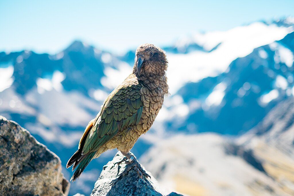
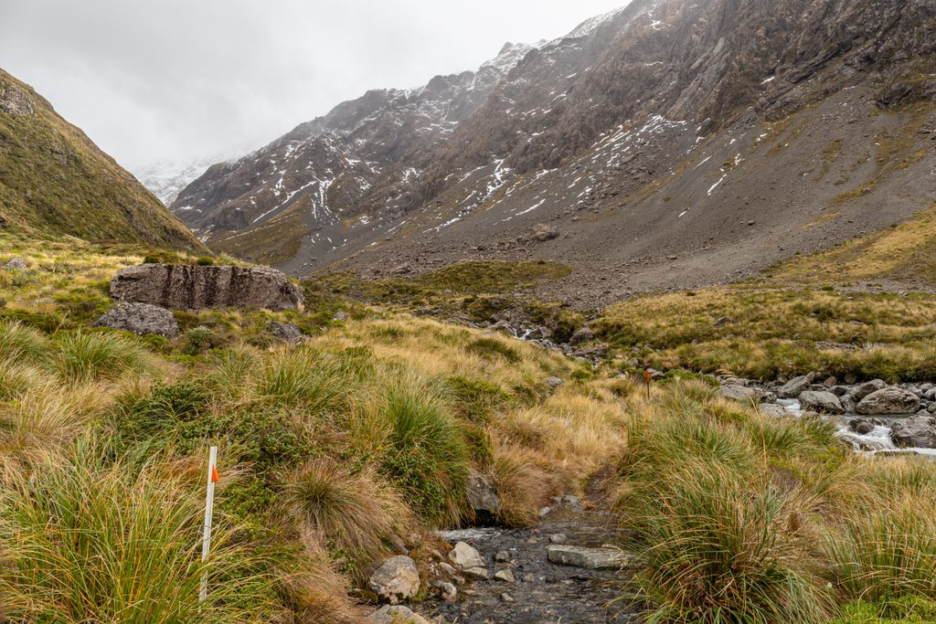
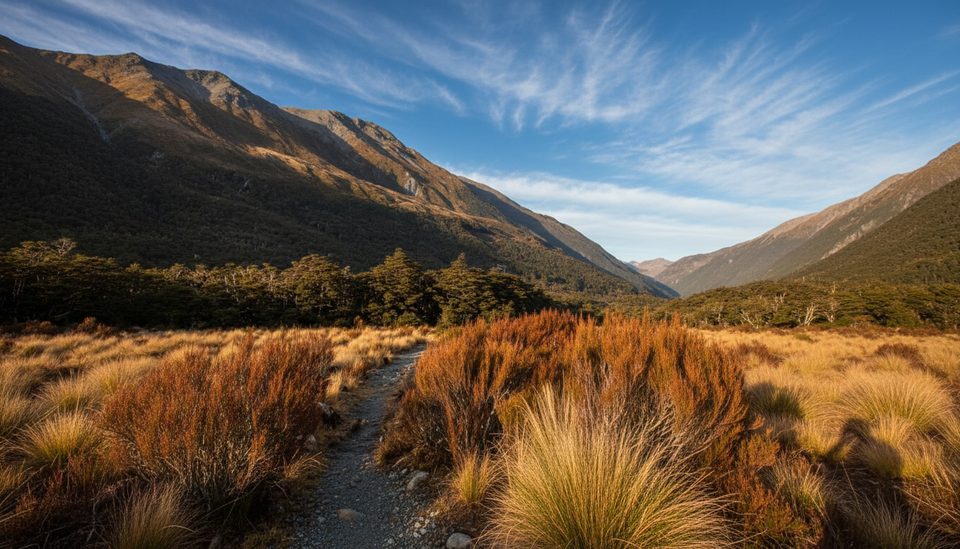
Big glacial scenery right from the valley: moraine benches, bluff systems, and a grandstand on the Rolleston Glacier from the upper saddle. In summer, the lower valley often shows off alpine tussock and daisies. Keep an eye out for cheeky alpine parrots (kea) around the carpark and lower valley.
Late summer to early autumn in settled, clear, snow‑free weather. Avoid winter or poor visibility—ice, verglas, and fog turn the bluffs and upper slopes into no‑fall terrain. Avalanche hazard is a real factor from roughly May to November; check conditions locally before committing.
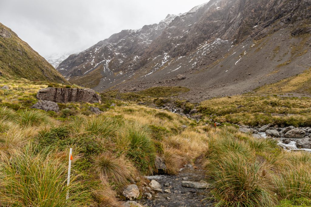
This is an unmarked alpine route after the bridge. Confident scrambling, route‑finding, and hazard assessment are essential. A helmet is strongly recommended due to rockfall. Carry warm and windproof layers, plenty of water, a map/GPS, headlamp, and a PLB. Start early for time in hand and better visibility. Ask locally about the current preferred line around Warnocks Bluffs—the cairned northern bypass is the conservative choice.
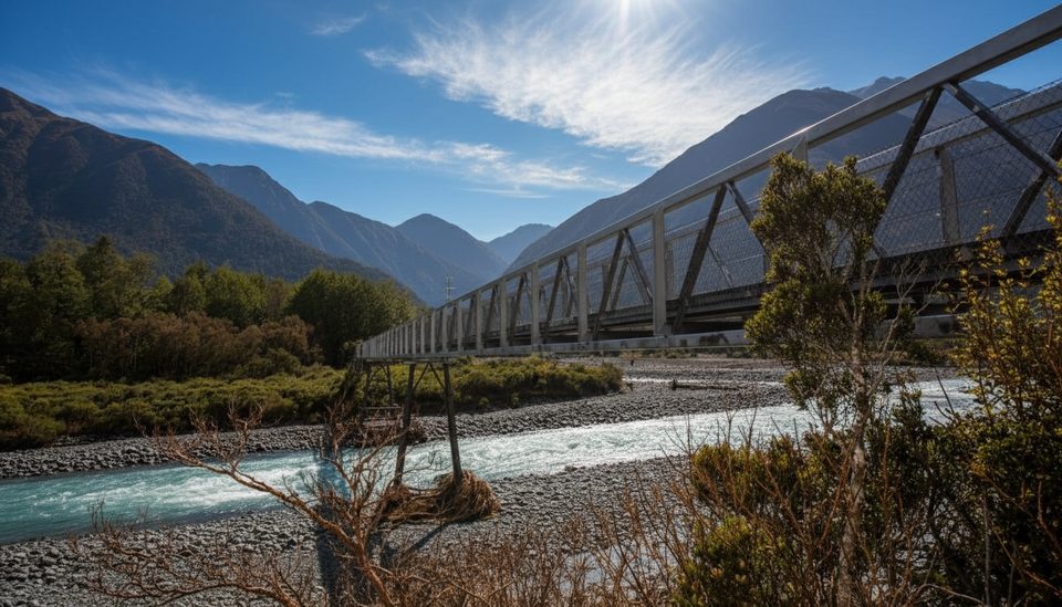
Park at the small Otira Valley carpark on SH73, about 1 km west of Arthur’s Pass summit. The footbridge occasionally gets damaged in floods—confirm status with the visitor centre. If you only want the valley stroll, the marked track to the bridge makes a great short outing; there’s also a quick side trip to Lake Misery tarn near the start.
If you want a big day with less technical scrambling, consider other Arthur’s Pass summit routes like Avalanche Peak for a marked track experience and comparable views.
Small Otira Valley carpark on SH73 about 1 km west of Arthur’s Pass summit; start on the Otira Valley Track to the footbridge.
Serious alpine route. Warnocks Bluffs are the crux with exposure and rockfall; choose the easier northern bypass. Above the bridge is unmarked with loose rock and poor‑visibility navigation traps. Not recommended in winter or when iced; avalanche danger May–November. The river footbridge can be washed out after floods—confirm locally.
Place · 0 mi away
Place · 0 mi away
Place · 0 mi away
Place · 0.4 mi away
Moderate · 0 mi away
Moderate · 1 mi away
Challenging · 1.4 mi away
Easy · 1.4 mi away

Parkwolf Tour Guide
