
Place · 0.4 mi away
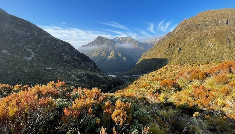
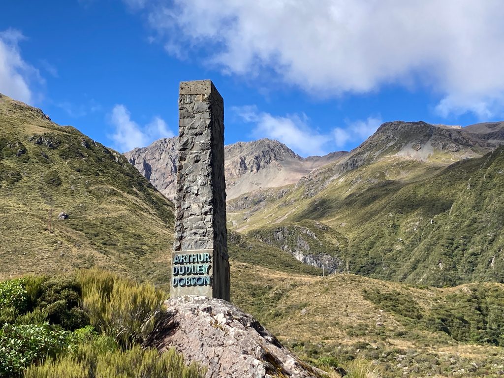
Arthur's Pass Summit is the high point of SH73, where a short, modular walk delivers you to a lookout and the roadside Dobson Memorial. It’s a low-effort, high‑reward stop: alpine edge vibes without committing to a big tramp.
You can link segments of the Arthur’s Pass Walking Track from several car parks—Punchbowl, Bealey Chasm (Jacks Hut), or Temple Basin—and return the same way. A popular taste-test is the 20‑minute stroll from Punchbowl car park to the Bridal Veil Falls lookout, then continuing via Jacks Hut/Bealey Chasm and the Dobson Nature Walk to the summit lookout and memorial. The gradient is generally gentle, with some steep steps around Bridal Veil Creek.
Cross SH73 only where the formed tracks meet the road; the highway itself is unsafe to walk. Plan this as an out‑and‑back using the same tracks rather than roadside walking.
At the summit/Temple Basin car park you’ll find parking and trail access but no toilets. Public toilets are in the village. If you head up the Temple Basin Track (60–90 minutes uphill), the Lockwood Day Shelter has an indoor toilet and water, but that’s not at road level.
Yes—especially if you’re already driving SH73 between the coasts. On a clear day it’s an easy, scenic leg-stretcher with a dash of history. If the weather is clagged in, save it for another crossing.
Drop in when visibility is good as you transit the pass; the experience hinges on clear views. Wind and weather change fast, so bring a layer and check conditions at the visitor centre before you set out.
Place · 0.4 mi away
Place · 0.4 mi away
Place · 0.4 mi away
Place · 0.7 mi away
Moderate · 0.4 mi away
Challenging · 0.4 mi away
Moderate · 0.9 mi away

Challenging · 1.4 mi away

Parkwolf Tour Guide
