
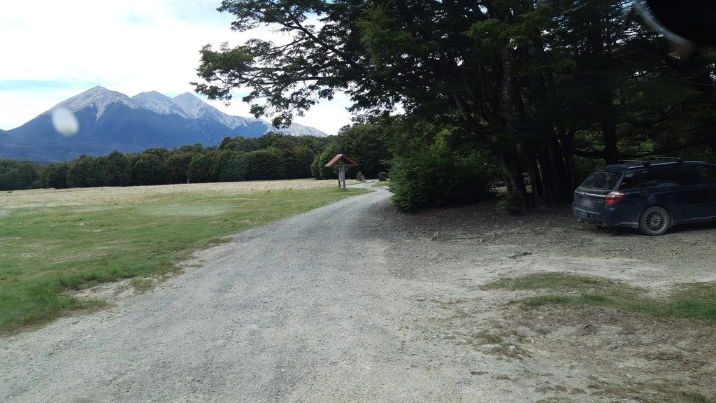
Place · 3 mi away
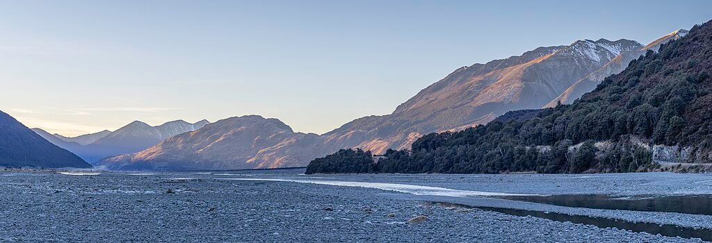
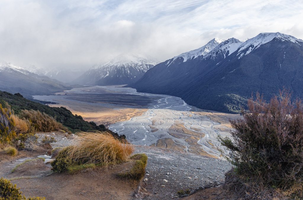
This is the classic quick pull-over to take in the upper Waimakariri’s braided shingle flats framed by snowy Southern Alps peaks. It’s literally a gravel shoulder on State Highway 73, so you get big views for minimal effort.
Expect a broad U‑shaped valley with active braided channels constantly re‑arranging after storms. Greywacke scree and pale shingle bars dominate the flats; as the river leaves the ranges it tightens into gorges further east and then re‑braids across the Canterbury Plains. It’s a snapshot of South Island river geology in one glance.
Braided riverbeds like the Waimakariri are home to specialist birds—keep an eye out for wrybill and black‑fronted tern working the shingle bars. Around the pass, you may also hear or see kea overhead, and whio/blue duck occupy fast rivers and streams nearby. Enjoy them from a distance and never feed kea.
There’s nothing at the lookout itself. For a proper stop, nearby DOC sites are handy:
Anytime works because it’s a roadside stop, but photography is kinder in early and late light. After rain or snowmelt, the channels shift and the river can look more dynamic. If you plan to wander down to the flats elsewhere, check current river and weather updates with the Arthur’s Pass Visitor Centre.
If this view whets your appetite for bigger adventures, the upper river provides access to serious tramping country—routes toward places like Waimakariri Falls Hut are expert‑grade, with avalanche terrain and challenging navigation. Get the latest conditions, hire a PLB, and take advice from rangers before committing to any multi‑day trip.
Place · 3 mi away
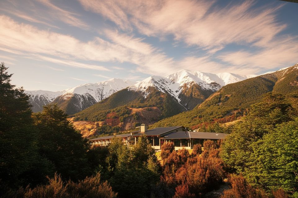
Place · 3.4 mi away
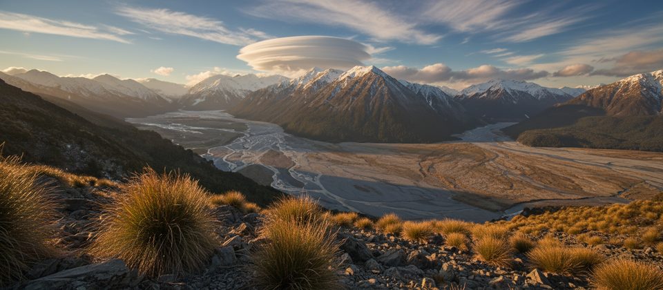
Place · 3.9 mi away
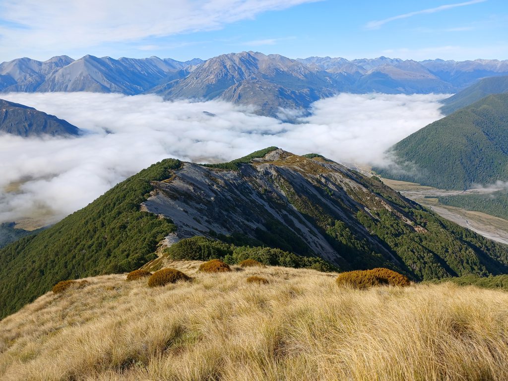
Place · 4.7 mi away
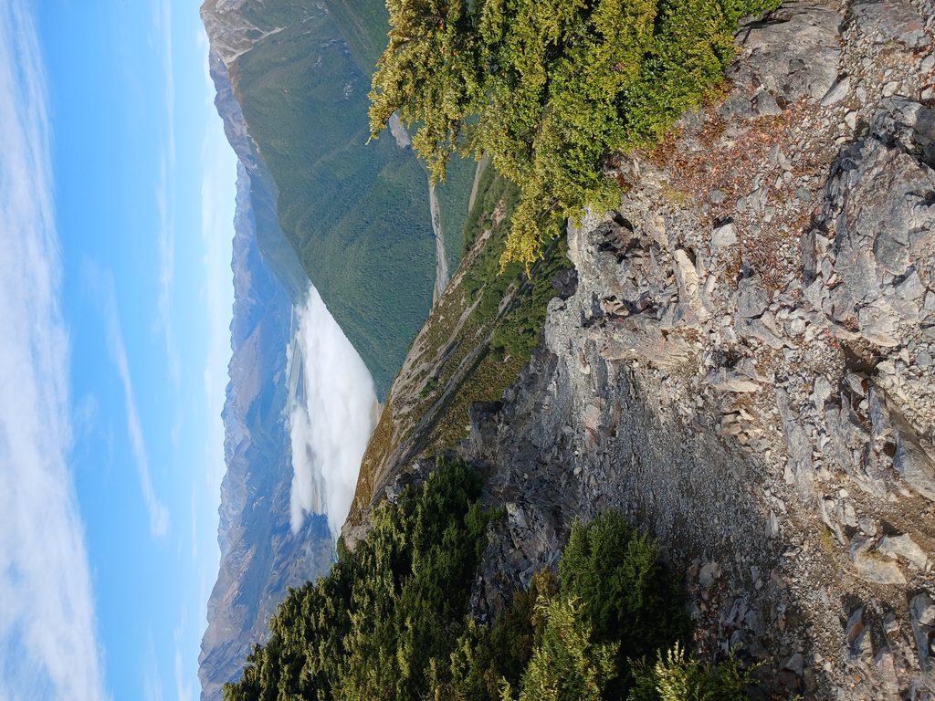
Challenging · 3 mi away
Moderate · 3.9 mi away
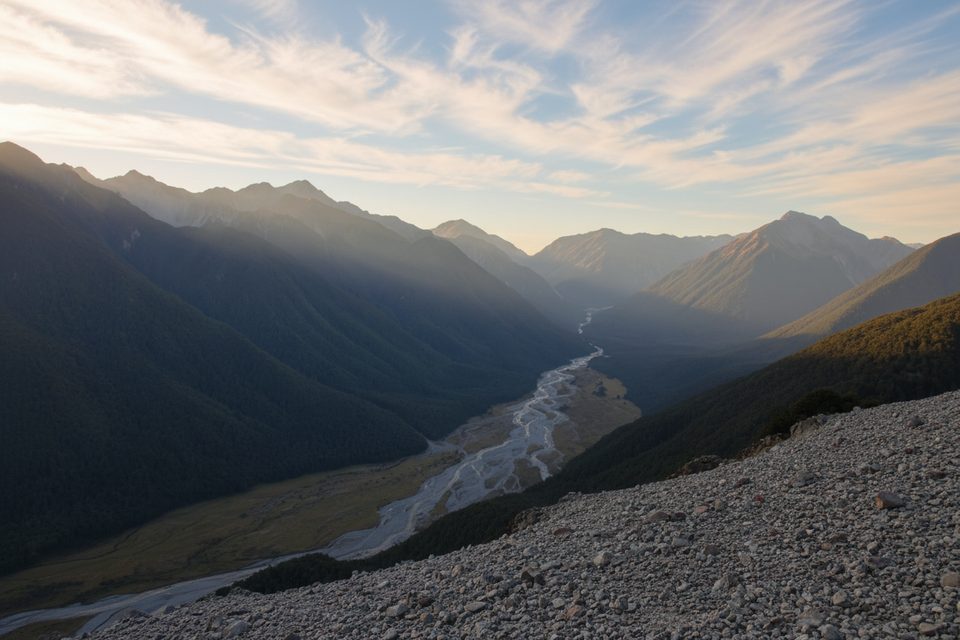
Challenging · 6.3 mi away
Easy · 6.3 mi away

Parkwolf Tour Guide
