
Place · 0 mi away
Challenging
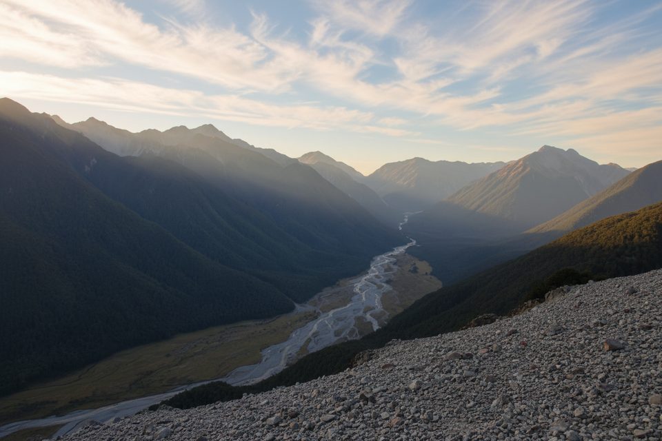
This is a demanding tramping route up the Edwards valley to Edwards Hut. Expect multiple river and stream fords, short steep sidles with exposure, and vague ground trails on tussock flats. It’s best for experienced, well-equipped parties. The one-way distance to the hut is about 9.5 km (5.9 miles), typically 4–6 hours.
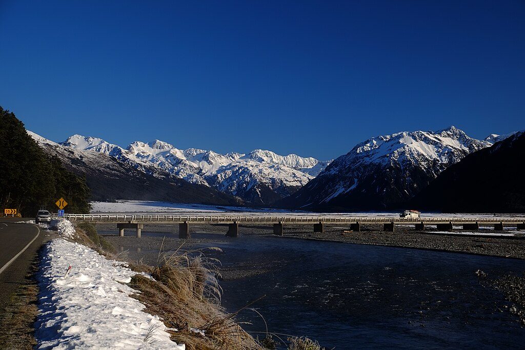
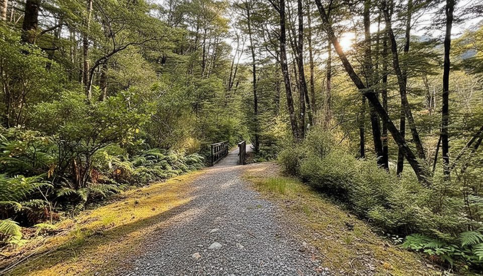
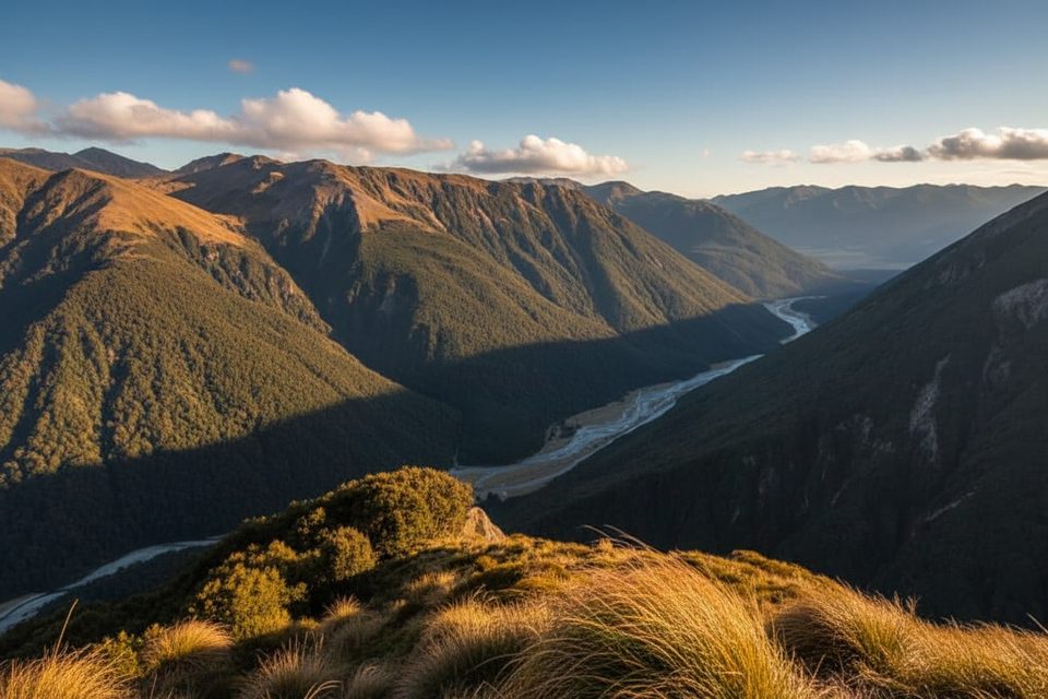
Start from the Greyneys Shelter car park on SH73, drop under the rail line, and head for the Bealey River near its confluence with the Mingha. If that first ford isn’t an easy crossing, turn back—water will only be rougher upstream. A short marked bypass avoids the lower gorge before sustained riverbed travel up-valley. Cross the East Branch of the Edwards above its junction (this can be difficult when high) and pick up the marked track. The track climbs and falls through forest to sidle above the Edwards canyon with big drop-offs, then breaks onto broad red tussock flats where it’s easy to lose the line. The hut appears ahead on the final flats.
Rivers are the main crux—don’t go if rain is forecast or levels are elevated. Expect slippery roots and rock, exposed sidles, and navigation challenges in tussock or poor visibility. In winter and spring the upper valley and the Taruahuna Pass/Tarn Col area carry avalanche hazard.
Edwards Hut is a standard backcountry hut with a log burner; bring your own cooker (gas) and sleeping mat. Tank water is available but must be boiled. Fees apply and bunks are first-come, first-served—no bookings. A hut radio links to the Arthur’s Pass Visitor Centre during office hours; follow the instructions inside.
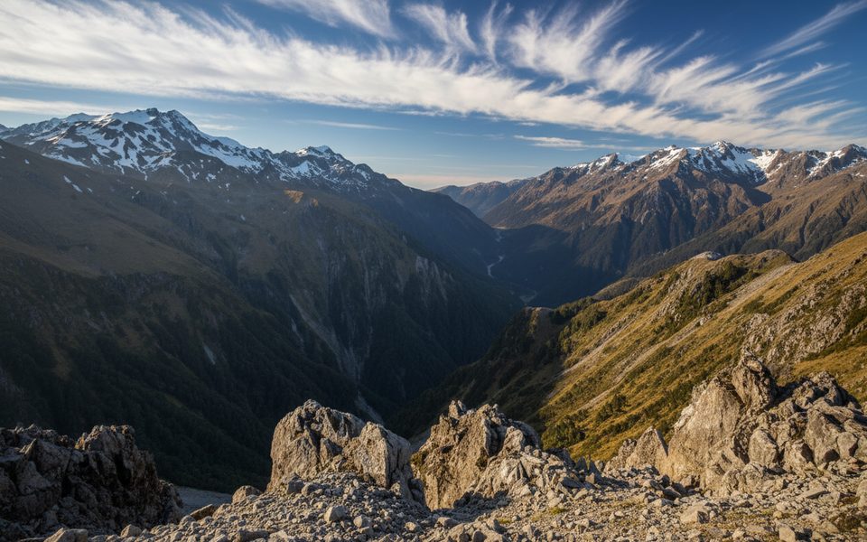
Strong parties often continue over Taruahuna Pass and steeply up to Tarn Col, then down-valley to Hawdon Hut. Expect a very steep climb on snowgrass and rock to Tarn Col and a rough creek-bed descent beyond. Typical times are 6–9 hours from Edwards Hut to Hawdon Hut, with the full Hawdon–Tarn Col–Edwards through-trip commonly done over two days. Above the hut, Taruahuna Pass sprawls across a massive landslide fan off Falling Mountain from the 1929 earthquake—wild, impressive country.
Late summer into autumn offers the most reliable river levels and settled weather. Winter and spring add avalanche risk and cold, high water—skip it unless you have the skills, gear, and conditions to match.
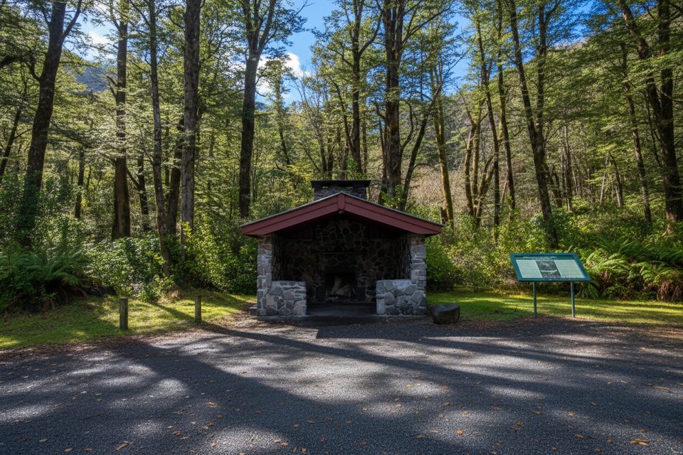
Greyneys Shelter car park on SH73; cross under the railway to reach the Bealey River start.
Experienced trampers only: multiple fords (Bealey, Mingha, East Edwards) that can become dangerous or impassable during and after rain; steep, slippery sidles with exposure; vague ground trail on tussock flats; avalanche terrain in winter/spring near Taruahuna Pass and Tarn Col. Carry map/GPS, warm/wet-weather layers, and make conservative river decisions.
Place · 0 mi away
Place · 1.2 mi away
Place · 2.2 mi away
Place · 2.6 mi away
Easy · 0 mi away
Challenging · 2.8 mi away
Easy · 3.3 mi away
Challenging · 3.3 mi away

Parkwolf Tour Guide
