
Place · 0 mi away
Challenging
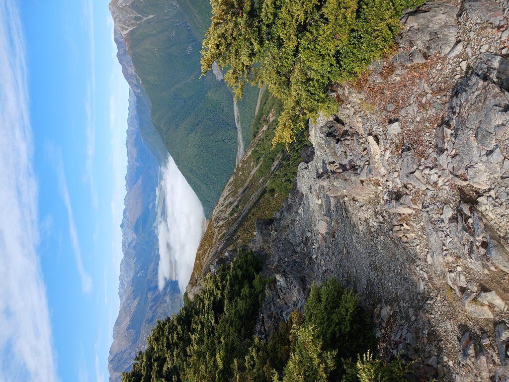
A short, punchy climb with outsized rewards. Woolshed Hill Track is an out‑and‑back that gains roughly 890 m over about 8 km total (≈5 miles), starting from Hawdon Shelter Campsite. You’ll grind through beautiful beech forest, pop out at the bushline to sweeping Hawdon and Waimakariri views, and—if conditions and skills allow—continue along an exposed, unmarked tops route toward the 1429 m summit.
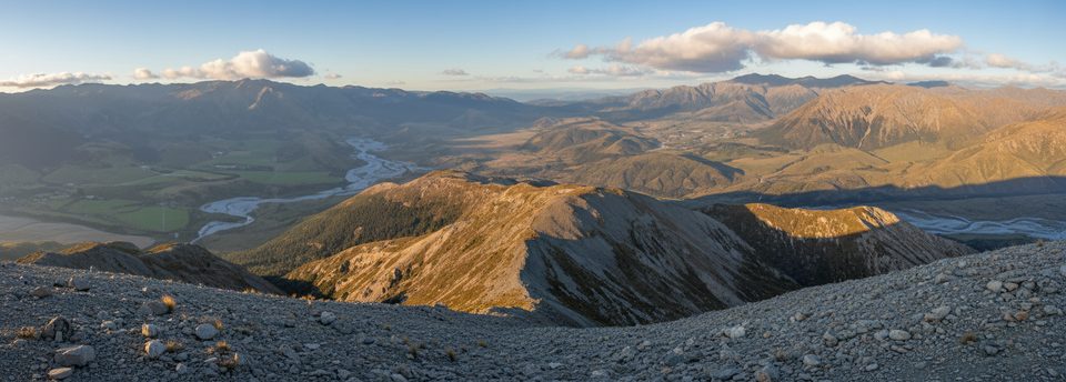
From Hawdon Shelter, a terrace track leads toward Kidson Lodge. Follow the orange DOC markers and ignore other colored trapline markers. The formed track then climbs very steeply—over 600 m in roughly 2 km—on rugged, rooty terrain. The marked DOC track ends just above the bushline around ~1200 m, where views explode across the valleys. Beyond here there’s no official track: expect open tussock/scree, exposure to wind and weather, and occasional informal cairns at best. A small tarn sits near the tops and makes a photogenic pause on calm days.
This is a sustained, steep ascent with some hands‑on moves over roots. Fit parties report around 3.5–4.5 hours return; most should allow 4–6 hours total depending on stops, conditions, and whether you push to the tarn or all the way to the summit.
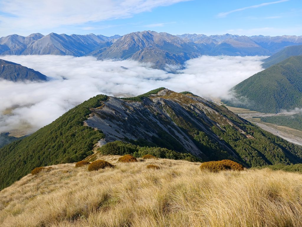
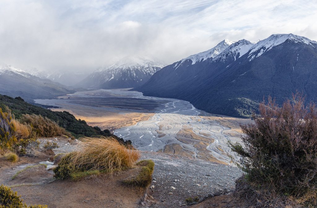
Beech forest gives way to big‑sky tops with 360‑style panoramas: the Hawdon Valley, the braided Waimakariri, and surrounding ranges. Even if you stop at the bushline, the payoff is excellent—arguably the smartest turn‑around on a blustery day.
Above the bushline is exposed and often windy; in winter and shoulder seasons expect ice/snow and simple avalanche terrain. If snow is present, traction tools and the skills to use them are required. Only continue beyond the marked track with off‑track alpine experience, solid visibility, and proper navigation. Water is scarce on the ridge—carry what you need. Poles help on the steep descent. Sandflies can be fierce at Hawdon Shelter.
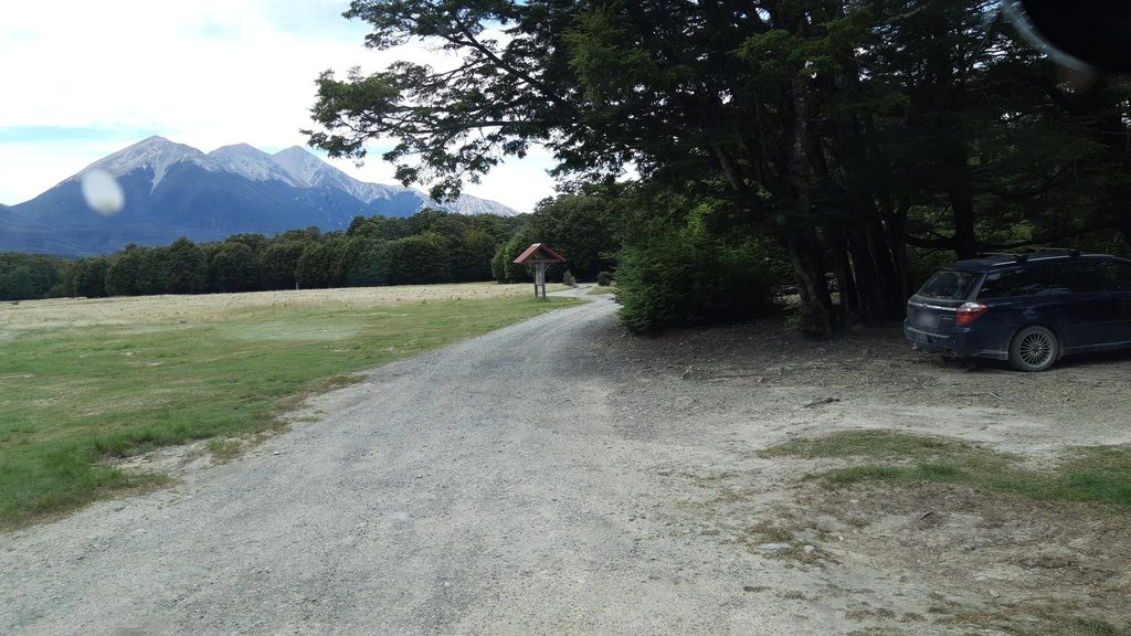
Trailhead parking and a basic campsite are at Hawdon Shelter, near the Mt White Bridge turnoff on SH73. Start early for steadier footing on the climb and to keep the summit option open if the weather holds.
Park at Hawdon Shelter Campsite near the Mt White Bridge turnoff on SH73; the track starts behind the shelter.
Very steep, rooty climb; follow orange markers only. Marked track ends at ~1200 m—beyond is unmarked, exposed tops with wind, ice, snow, and avalanche risk. Carry ample water; poles helpful.
Place · 0 mi away
Place · 1.7 mi away
Place · 3 mi away
Place · 3 mi away
Moderate · 6.7 mi away
Challenging · 8 mi away
Easy · 8 mi away
Challenging · 8.8 mi away

Parkwolf Tour Guide
