
Place · 0 mi away
Easy
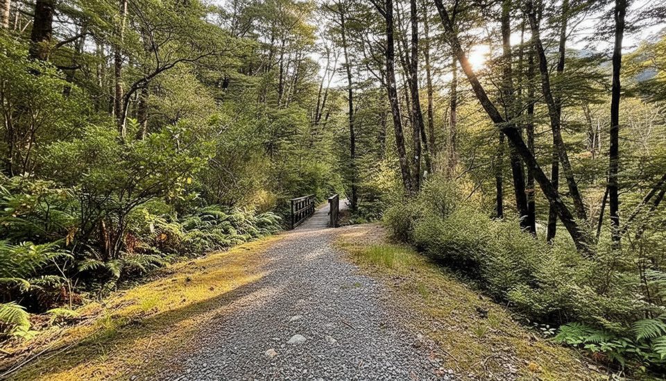
A short, very easy forest loop cut into the hillside, Old Coach Road Walk follows a surviving slice of the 1860s coach route that once bridged New Zealand’s east and west coasts. It’s a gentle 0.9‑mile/1.5‑km total loop with roughly 50 feet/15 m of elevation change—more leg‑stretcher than destination hike, but the history and mossy ambiance give it some charm.
Start and finish at Greyneys Shelter on SH73 (about 6 km east of Arthur’s Pass Village). A brief climb pops you onto the old benched road, where the track sidles through cool beech forest with bits of boardwalk, short bridges, and a small creek crossing. Old rock walling appears in places—a tangible look at 19th‑century road building. There’s an option to tack on a quick outer loop to a lookout over the highway.
Expect a shaded beech canopy, ferny understory, dripping mossy cuttings, and tiny cascades as the path threads across side gullies. Keep an eye out for friendly forest birds like fantails; walkers occasionally report weka.
Parts of the loop run close to State Highway 73, so traffic noise is real, and the western end near the toilet is the least scenic section. If you want the nicest version, many walkers simply go out‑and‑back along the old roadbed instead of completing the full loop. The track is suitable for all‑terrain baby buggies, but narrow spots and short bridges mean it’s not a formal wheelchair track. No dogs or bikes.
This is a good anytime leg‑stretch, especially if you’re staying at Greyneys Shelter or breaking up a drive. Mountain weather in Arthur’s Pass changes fast year‑round; a dry, calm day makes the mossy surfaces less slick. From May to November there is avalanche danger elsewhere in the park—check conditions if you’re pairing this with other routes.
For bigger scenery nearby, consider a quick drive to the popular Punchbowl Falls Track; for a serious challenge, Avalanche Peak is in the same park—but this little loop wins for easy history and a forest fix right off the highway.
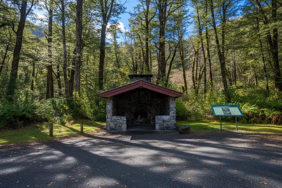
Park at Greyneys Shelter/Greyneys Picnic Area on SH73, about 6 km east of Arthur’s Pass Village; parking, day shelter, and a long‑drop toilet on site.
Rapidly changing mountain weather; surfaces can be wet and slick on boardwalks and mossy cuttings. No dogs or bikes. Park-wide avalanche danger May–November if combining with other routes. Expect traffic noise near SH73.
Place · 0 mi away
Place · 1.2 mi away
Place · 2.2 mi away
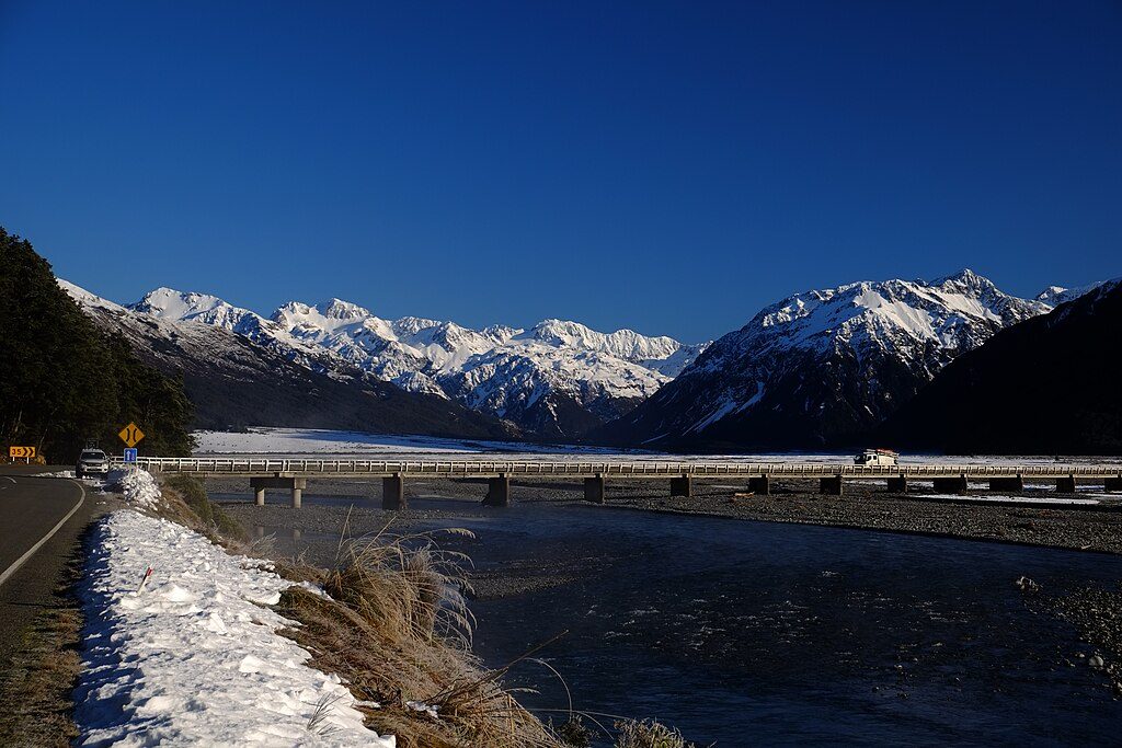
Place · 2.6 mi away
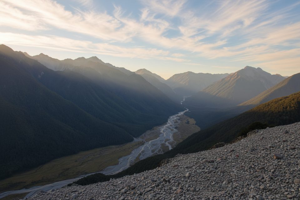
Challenging · 0 mi away
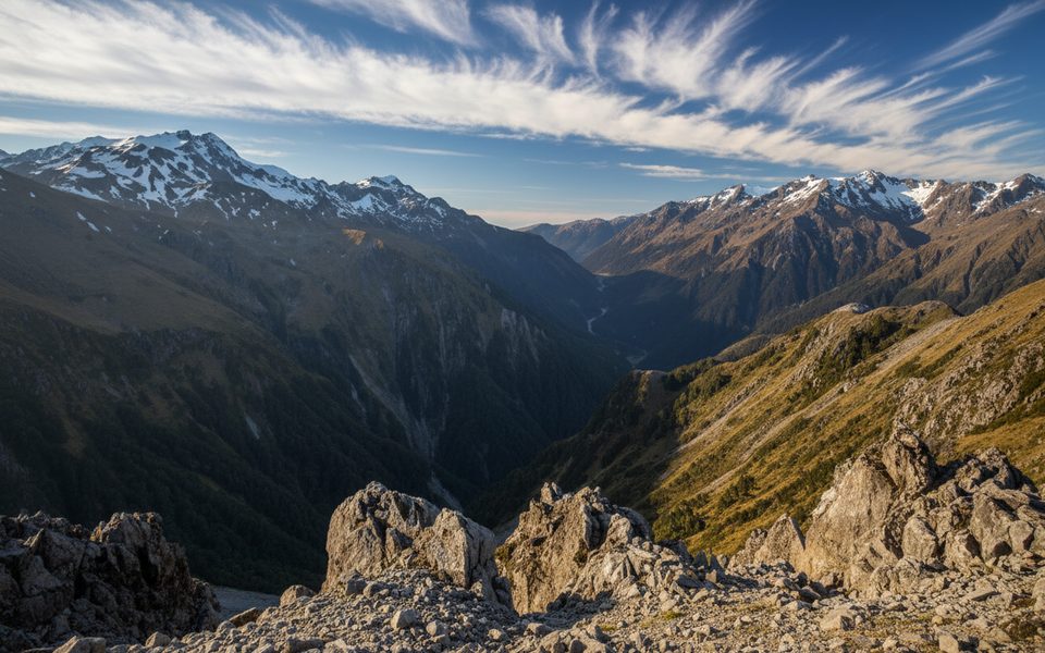
Challenging · 2.8 mi away
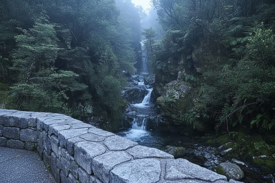
Easy · 3.3 mi away
Challenging · 3.3 mi away

Parkwolf Tour Guide
