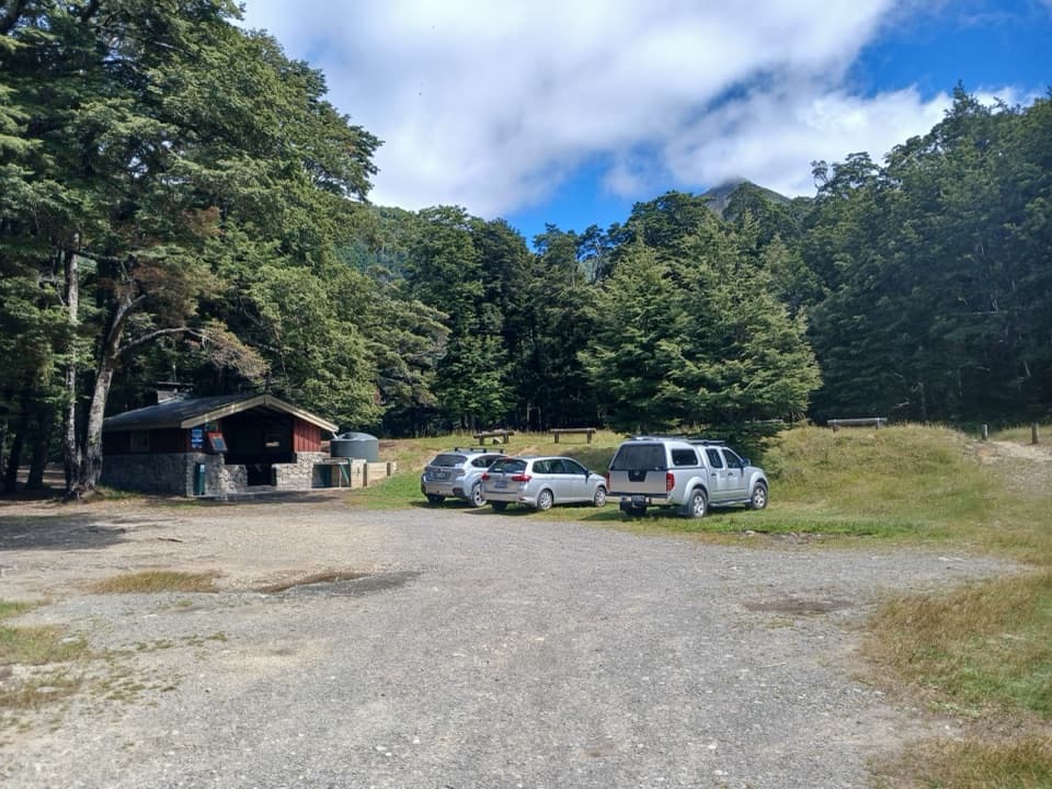
Parking
Use the off-road car park on SH73 just past the Bealey Hotel, about 14 km south of Arthur’s Pass village. Walk up Cloudesley Road to the track start at the top.
#3 of 49 trails in Arthur's Pass
Arthur's Pass National Park, CB · WC
A steady hut walk with wide Waimakariri Valley views
Overview
Map & elevation
Plan your hike

The highest, rockiest slopes around here are a summer buffet for grizzly bears.
Arthur's Pass Tour Guide
Parkwolf is a GPS audio tour guide for Arthur's Pass National Park. As you drive, it chimes in with what’s ahead: hidden gems, upcoming stops, history, geology, and wildlife, right through your car’s speakers.
Recorded for this trailhead
Bealey Spur Track and Hut“Bealey Spur Track is coming up, a gradual climb to a historic hut with wide Waimakariri valley views along the way. Allow about five hours for the twelve-kilometre return walk.”
Plays as you drive up to this trailhead in the Parkwolf Arthur's Pass Tour Guide.
More stories near here in the app
“Fantastic app with many points of information… It’s great to just turn on while you’re driving and it gives you an audio tour of the national Park. We love it!!!!”


Trail guide
Bealey Spur Track is a 6 km climb each way from the SH73 access to historic Bealey Spur Hut: 12 km return, with a steady climb rather than a summit scramble. The mapped line in the app follows the corridor once to the hut; the return trip is not drawn twice. The official walking time is 2½ hours each way. Recent walkers often report 3½–4 hours return, but allow around 4½ hours with a break and careful footing. It’s a good choice if you want a substantial day walk without taking on one of Arthur’s Pass’s high alpine routes.
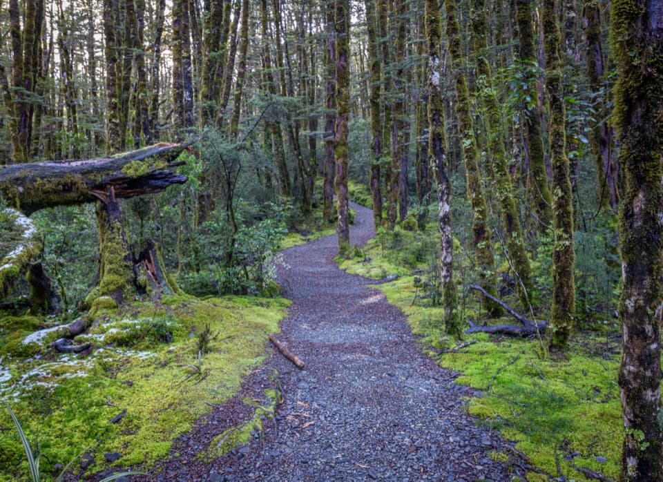
Start at the off-road car park on State Highway 73, just past the Bealey Hotel and about 14 km south of Arthur’s Pass village. Walk up Cloudesley Road to the track start at its top. The lower climb winds through mountain beech, where red-flowering mistletoe (pirirangi) can show in summer. Roots, mud and rough ground slow things down, especially after rain. There’s no drinkable water along the track, so take at least a litre per person from the start.
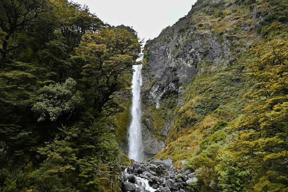
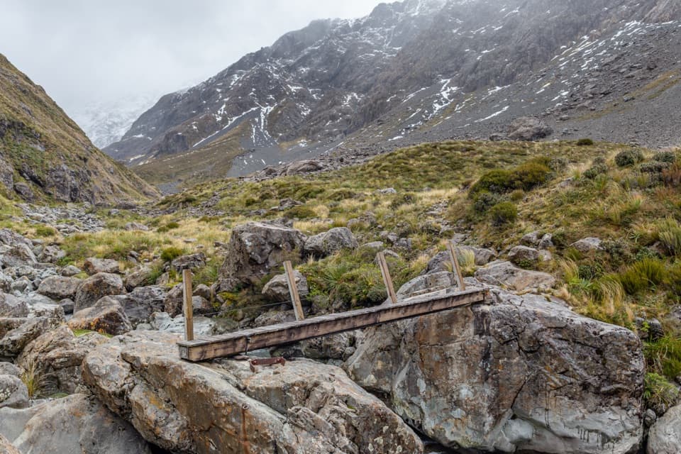
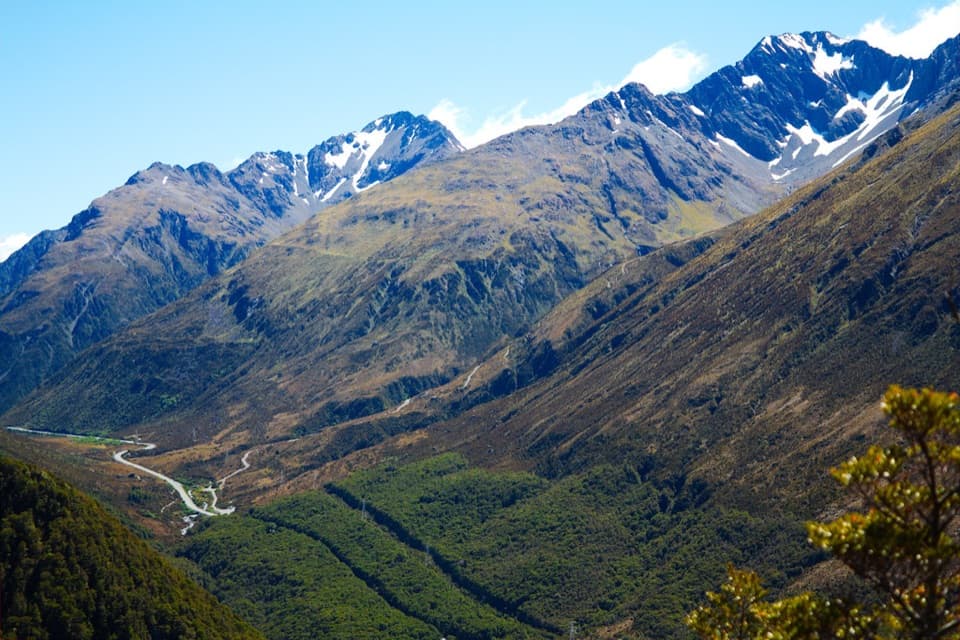
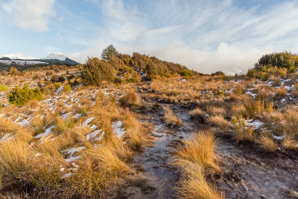
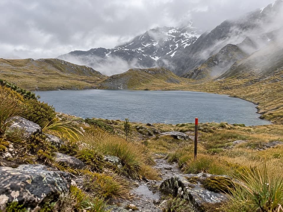
Higher up, the forest opens into tussock and subalpine scrub, with several tarns close to the route. The trail stays below the bush line, but clearings give you broad views across the braided Waimakariri valley and the surrounding mountains. A bluff above Bruce Stream is the sharpest feature on the climb: the track passes close to the cliff, so keep children close. If you stop for a photo, frame the braided river with tussock in the foreground; it gives the valley some scale.
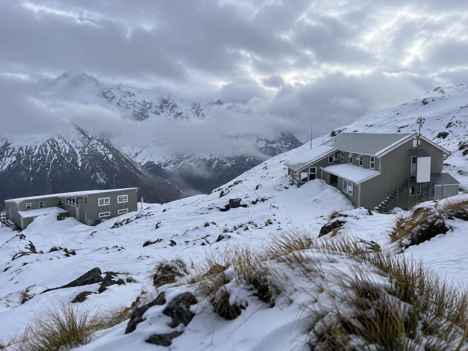
The track ends in a beech clearing at the small Bealey Spur Hut. It’s a basic six-bunk hut with a non-flush toilet; its tank water is untreated and needs boiling. The hut itself has little of the wide view people come for, which opens up earlier on the spur. Look nearby for the remains of corrugated-iron dog kennels and a paddock fence. Walter Taylor and Harry Faulkner built the hut in 1925 as a base for mustering Cora Lynn Station’s Powers Country, which grazed as many as 6,000 sheep. Mustering ended when the land was retired in 1978 and added to the national park.
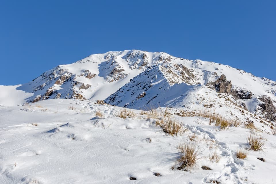
This is a gradual route by local alpine standards, but it’s long and the rough, rooted track can be muddy or slippery. Higher up, winter can bring snow, wind and cold. The east side of the pass is often drier when northwesterlies bring rain to the village, but that’s a pattern, not a forecast. Wasp numbers are high from January through April. Dogs aren’t allowed.
The named hut walk ends at Bealey Spur Hut. The unmarked ridge and high-point walk continues beyond it; longer route listings mix that rougher extension into their mileage. It isn’t part of the 12 km return distance or the mapped line here. If you want to continue, treat it as a separate route and check current route information before setting out.
Wildlife
 984 sightingsKeaMost seen around noonSighting map
 39 sightingsNew Zealand FalconMost seen around 5 PMSighting map
 190 sightingsBlue DuckMost seen around 5 PMSighting map
 20 sightingsKākāMost seen around 8 AMSighting map
 15 sightingsWekaMost seen around 7 AMSighting map
 15 sightingsParadise ShelduckMost seen around 6 PMSighting map
Sighting maps show where each species has been reported across Arthur's Pass. Wildlife moves, so no sighting is guaranteed.
Keep exploring
 ChallengingThree Passes Route55.8 km · 1.1 days · 2.8 km awayA four-to-five-day expert crossing of three Southern Alps passes
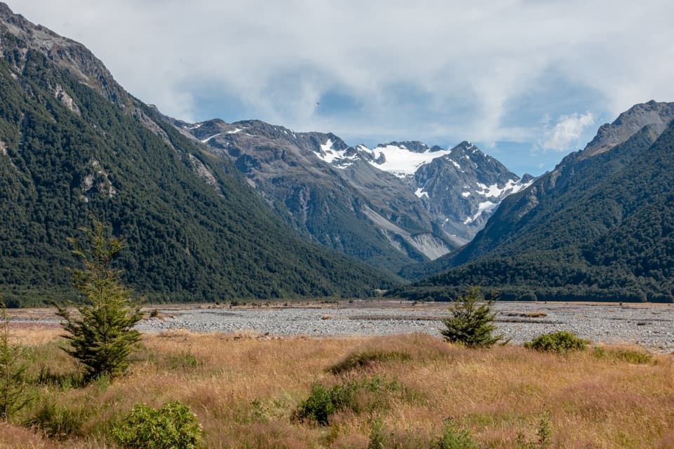 ModerateO’Malleys Track to Anti Crow Hut15.3 km · 6 hr · 2.8 km awayA full-day hut walk across open river flats to alpine views.
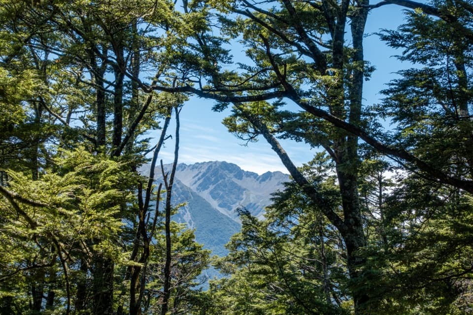 EasyO’Malleys Track4 km · 1.5 hr · 2.8 km awayBeech forest opens onto a broad fan beside the braided river
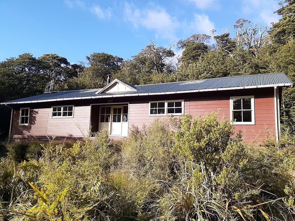 ChallengingCarrington Hut Route15.7 km · 6 hr · 2.8 km awayA remote hut route with expert river crossings and glacial valley views.
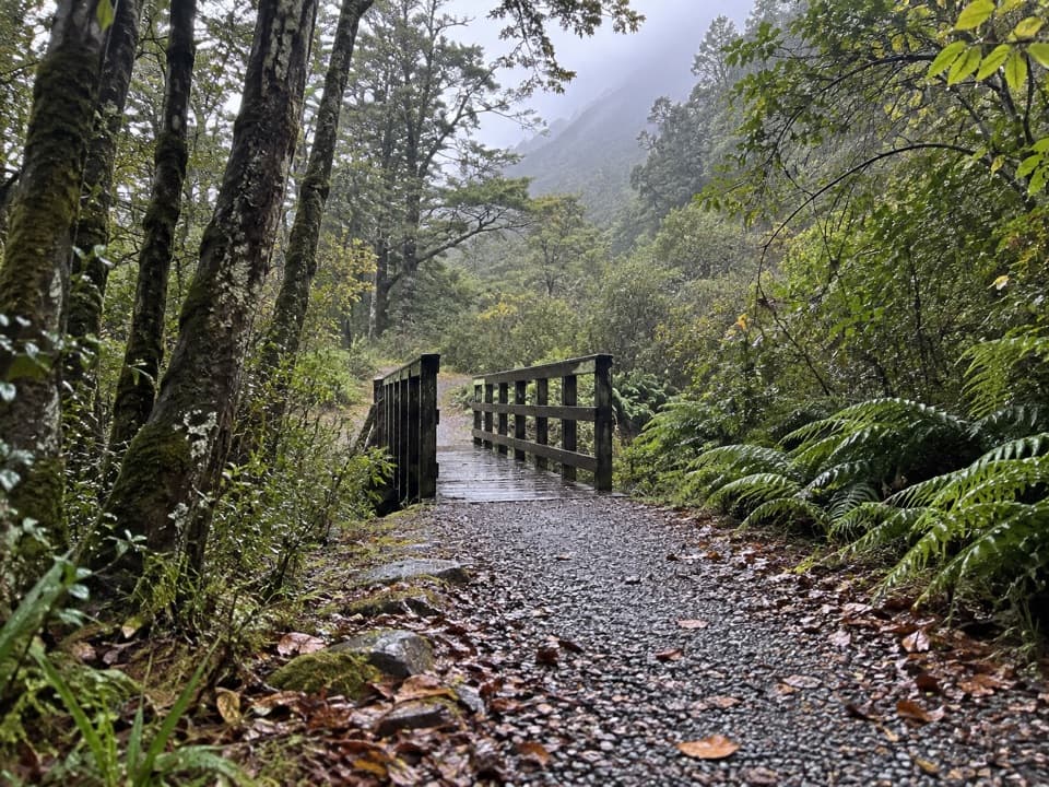 EasyOld Coach Road1.1 km · 30 min · 6 km awayA forest loop on the old coach road, with streams and stonework.
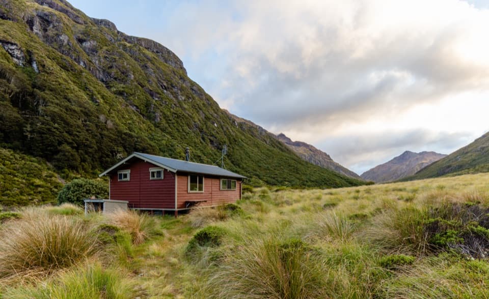 ChallengingEdwards Hut Track19 km · 10 hr · 6 km awayUnbridged crossings, rough sidles, and a hut tucked into open tussock.
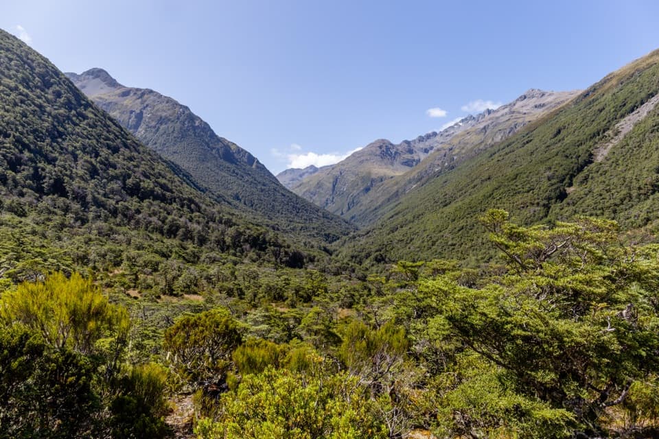 ChallengingMingha–Deception Route24 km · 14 hr · 6 km awayExpert tramping across Goat Pass between two wild river valleysChallengingGoat Pass Hut via Mingha Valley23 km · 12 hr · 6 km awayA demanding river and alpine tramp to Goat Pass Hut.
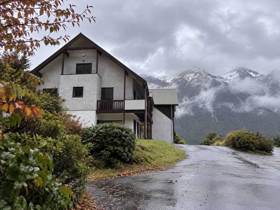 Lodging · 1.8 km awayThe Bealey HotelA mountain-view stay with a gold-rush coach-road story.
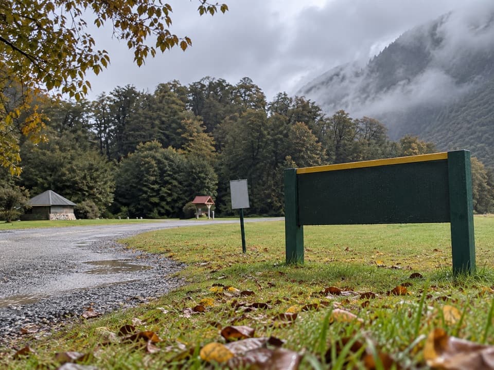 Campground · 4.5 km awayKlondyke Corner CampsiteRoom by two rivers, with quieter sites across the road.
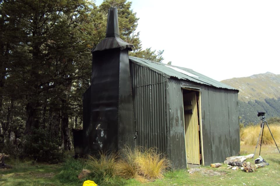 Lodging · 4.8 km awayBealey Spur HutA 1925 mustering hut at the end of a gradual mountain walk.
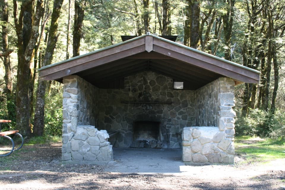 Picnic area · 6 km awayGreyneys ShelterA stone shelter marks a 30-minute walk on the old coach road.Lodging · 9.9 km awayEdwards HutA wood burner and red tussock flats reward a rough valley walk.
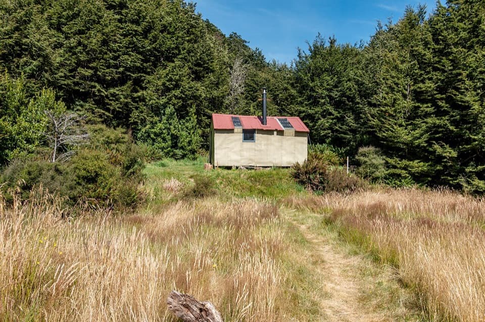 Lodging · 10.2 km awayAnti Crow HutBook ahead for an eight-bunk hut beyond Jordan Stream.
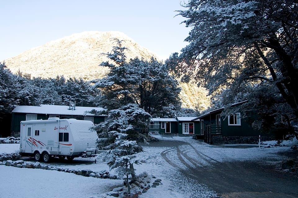 Lodging · 10.7 km awayArthur’s Pass Alpine MotelA practical base for park walks, with your own kitchen.
 Campground · 10.7 km awayHawdon Shelter CampsiteThirty tent sites on broad alpine flats, with a cooking shelter.
Parkwolf’s Arthur's Pass ranking

The audio tour guide for the drive, plus offline maps, trails, and wildlife heatmaps for when the signal drops.