Woolshed Hill

Quick, steep climb to sweeping Hawdon and Waimakariri views
Woolshed Hill, Arthur's Pass National Park
InsideArthur's Pass National Park

Overview

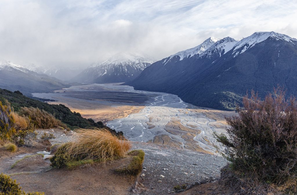
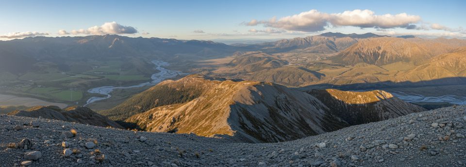
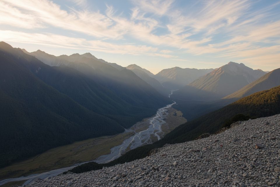
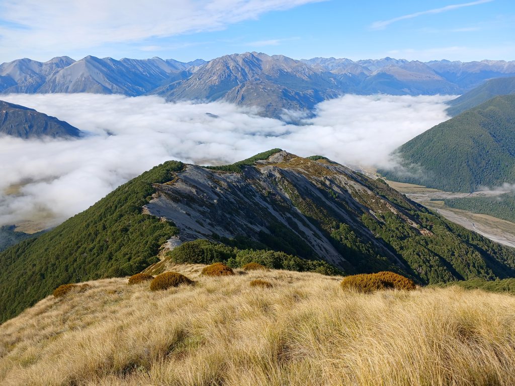
Woolshed Hill is the classic quick-and-steep grunt in this corner of the park: about 8 km return with roughly 890 m of climbing to wide-open views. The poled/marked track starts behind Hawdon Shelter and climbs hard through beech forest before breaking onto tussock and scree with the valleys laid out below.

Route Snapshot

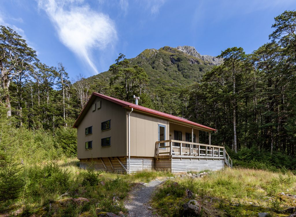
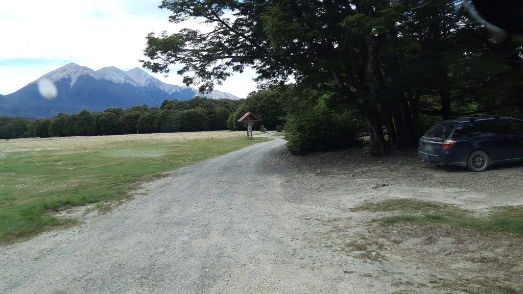
  • Start at Hawdon Shelter/Campsite and follow orange markers toward Kidson Lodge, then up the ridge. Stay with the orange triangles—other colors mark traplines.
  • The first 2 km bite, gaining over 600 m on rooty, sometimes scrambly forest trail.
  • The maintained track ends just above the bush line around 1200 m. From here it’s exposed tops with a faint pad and occasional cairns.
  • Confident parties sometimes continue to the 1429 m summit, but that’s alpine off‑track tramping requiring good visibility, route-finding, and appropriate gear.

What You’ll See

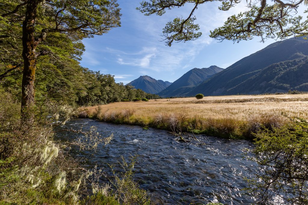
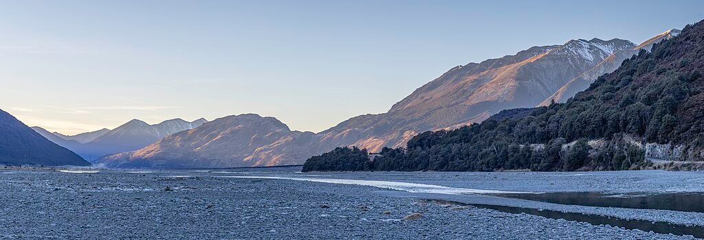
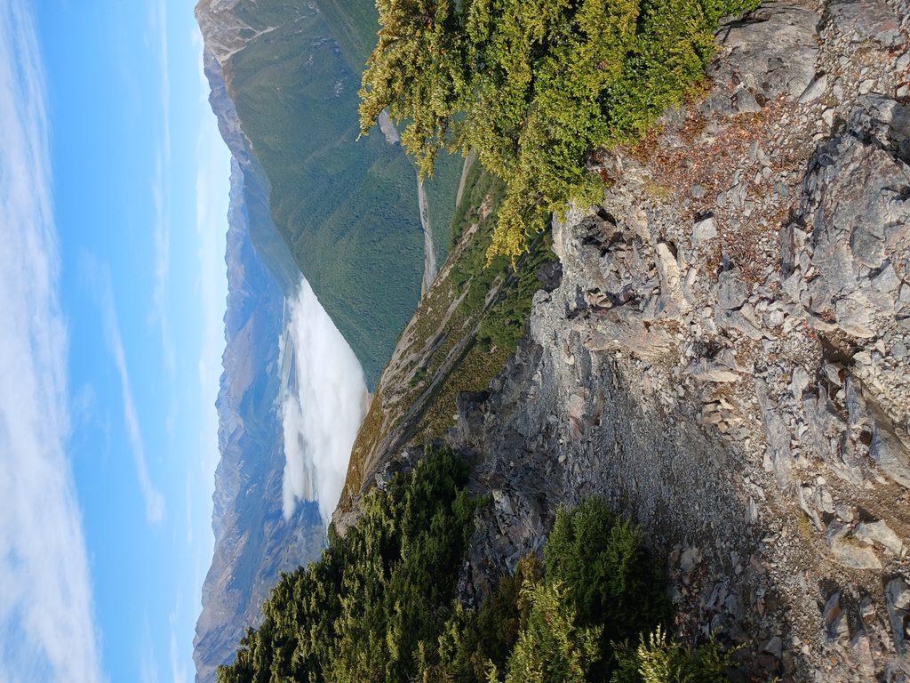
  • Big, evolving views over the Hawdon Valley, the Waimakariri River, and nearby ranges as you climb.
  • A small, often seasonal tarn near the tops that can offer a breather from the wind.
  • In the forest, keep an ear out for bellbirds and friendly robins.

Difficulty and Hazards

This is a steep outing best for fit, experienced trampers. Above the bush line you’re in the wind with minimal ground markings, and the footing can be loose. In winter it’s simple avalanche terrain with real risks of snow, ice, and bitter wind; if snow is present, carry crampons and an ice axe and check conditions with the visitor centre first. One party noted encountering hunters—wear bright colors in season.

Logistics

Park at Hawdon Shelter/Campsite; there are basic long-drop toilets at the campsite. Water is limited once you start climbing (a small stream low in the forest and a sometimes‑present tarn higher up), so carry what you need. Trekking poles are handy for the steep descent. Sandflies can be fierce around the shelter—come prepared.

How Long It Takes

Fit folks report about 3.5–5 hours return depending on breaks and conditions.

Best Time to Visit

Pick a clear, calm day. Mornings are kinder for wind and heat, and the light is great across the Hawdon and Waimakariri; afternoons can be gusty on the tops. Winter offers dramatic vistas (and sometimes inversion layers in the valleys), but only if you’re equipped for snow and ice.

Pros

  • Big panoramas over the Hawdon and Waimakariri valleys
  • Short, steep half‑day that feels surprisingly alpine

Cons

  • Exposed, faint route above the bush line; summit is off‑track
  • Sandflies common around Hawdon Shelter campsite

Tips

  • From Hawdon Shelter, follow the orange markers and ignore trapline colors.
  • Carry plenty of water; there’s little reliable water once you start climbing.
  • Start early for calmer conditions and better light across the valleys.
  • Bring sandfly repellent for the shelter/campsite area.
  • In winter, check conditions and take crampons and an ice axe if there’s snow.
The Parkwolf tour guide sitting on a phone mounted in a car

Parkwolf Tour Guide

Like a tour guide in your car.

Save the places you found around Arthur's Pass, then let Parkwolf guide the drive between them.Download Parkwolf on the App Store