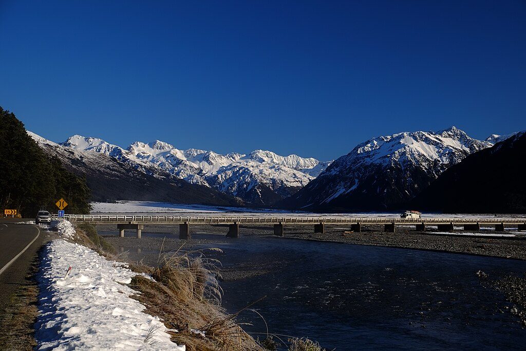
Waimakariri River at Bealey Bridge

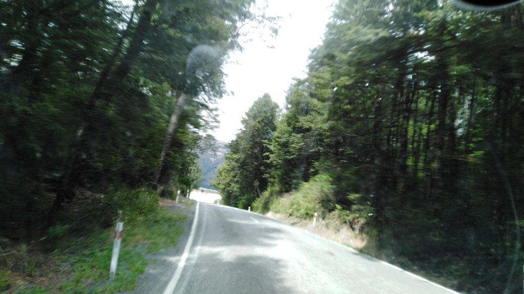
Roadside view of the Waimakariri’s braided river at SH73 bridge
Waimakariri River at Bealey Bridge, Arthur's Pass National Park
InsideArthur's Pass National Park

Overview

Bealey Bridge is the SH73 crossing of the Waimakariri River and a classic quick stop for big, braided‑river scenery. It’s also the jump‑off point for several well‑known valley routes, so you’ll often see day‑walkers and trampers staging here. Rivers in this park can surge quickly after rain—treat the water with respect and be ready to change plans.

What You’ll See

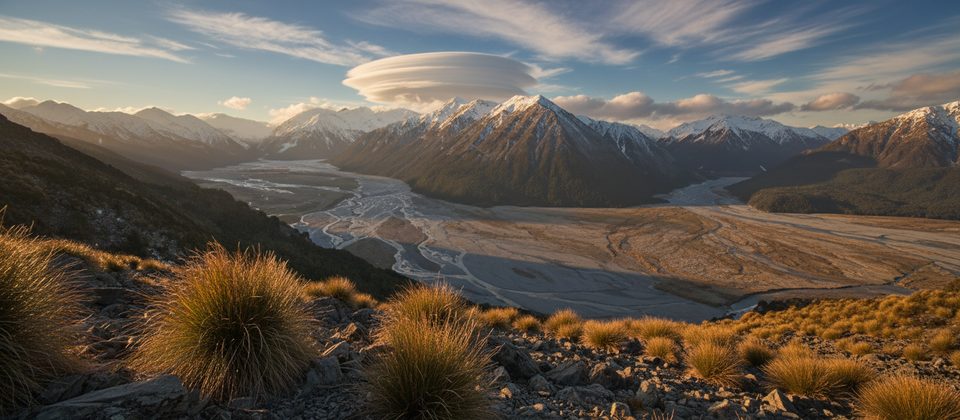
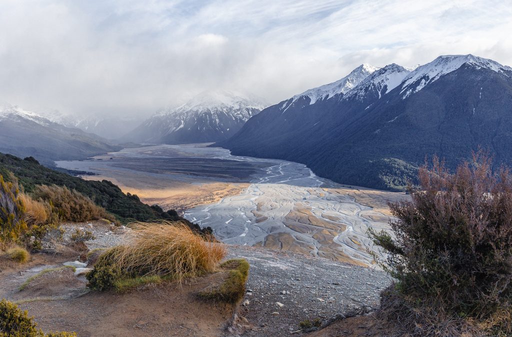
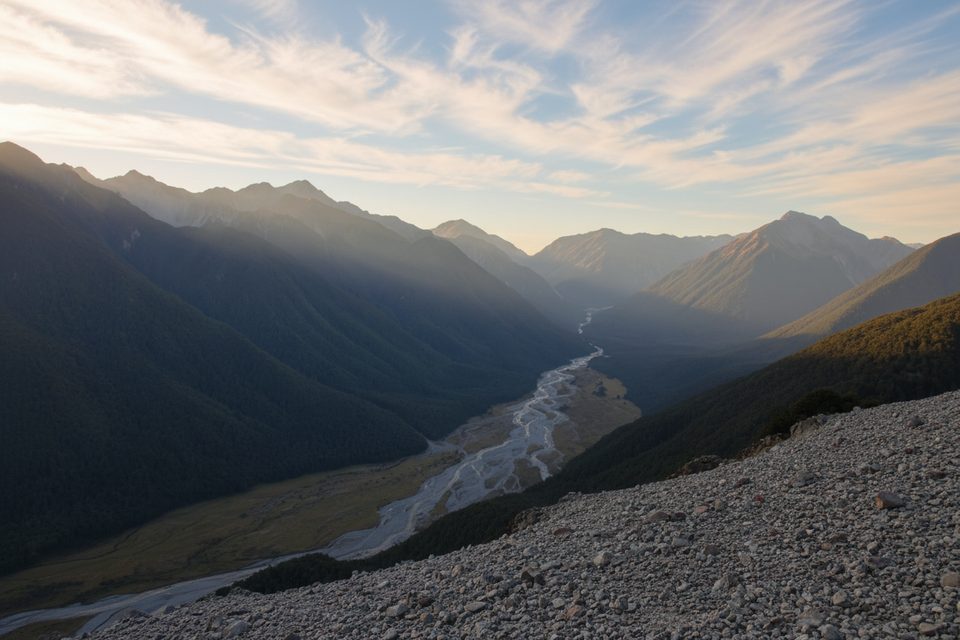
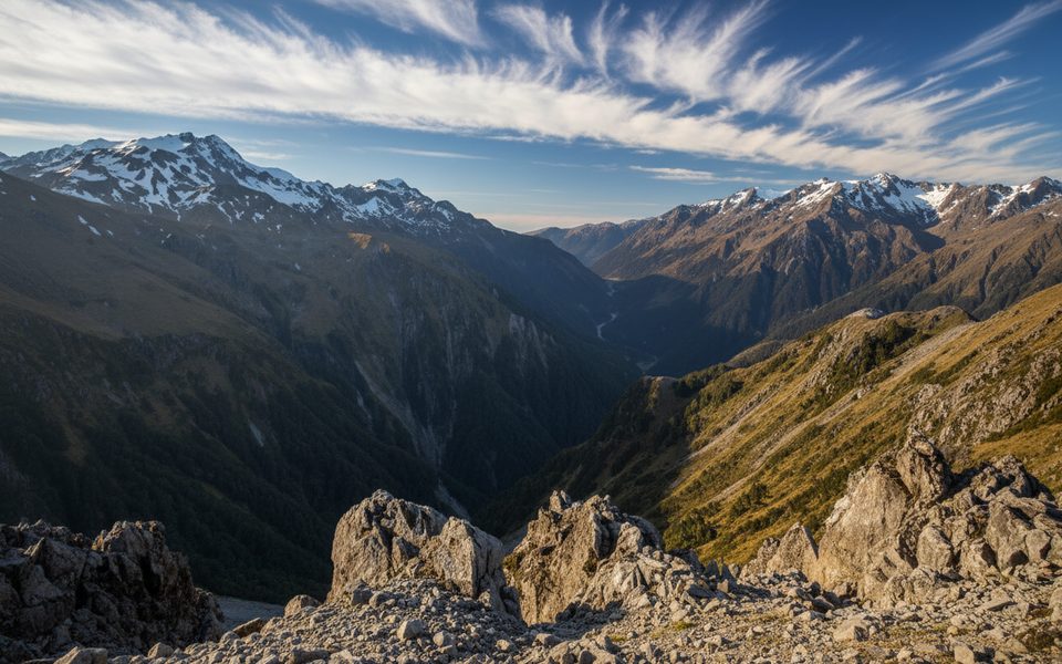
From the bridge you get an easy, front‑row look at the Waimakariri’s wide, shingle‑braided channels with steep, beech‑clad slopes and tussock country beyond. Down the valley are glacially smoothed rock forms (roche moutonnée) that hint at the area’s ice‑carved past. Wildlife exists but is elusive from the roadside—red deer, chamois, and pigs occur in parts of the park.

Nearby Walks and Routes

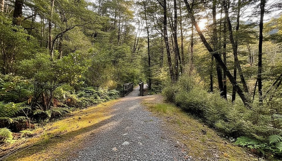
  • O’Malley Track to Anti Crow and Carrington Hut starts immediately south of the bridge on the true right of the river. Expect multiple stream and river crossings; only attempt when levels are low.
  • In very low flows some parties travel the riverbed from Klondyke Corner toward Carrington, cutting bends and crossing as needed.
  • For a drier, view‑rich half‑day, the Bealey Spur Track (car park just past the Bealey Hotel, then up Cloudesley Road) stays below the bushline and looks out over the Waimakariri.

Facilities and Logistics

There are no Department of Conservation facilities at the bridge—plan for no toilets and no treated water. The nearest convenient option is Klondyke Corner DOC campsite, which has toilets and an untreated water supply (boil before drinking). Greyneys Shelter further along SH73 has a day shelter and a long‑drop toilet.

Safety Essentials

  • Rivers change fast; if in doubt, don’t cross. Be prepared to wait for levels to drop or turn back to the nearest hut or road.
  • Weather here is alpine year‑round—pack warm and waterproof layers and sturdy footwear.
  • Wasps can be common January–April on nearby tracks; dress accordingly and consider carrying antihistamines.
  • Beyond Carrington toward Waimakariri Falls and over the Col is serious, avalanche‑prone alpine country suited only to experienced parties in the right conditions.

Best Time to Visit

Anytime you’re driving SH73 and the weather gives you a window—clear days bring crisp mountain vistas, while mist and rain create moody, dramatic river scenes. If you’re planning river‑valley travel, aim for stable forecasts and low flows; after heavy rain, skip crossings and switch to Bealey Spur for views without getting your feet wet.

Pros

  • Wide braided‑river and Alps views right from the SH73 bridge
  • Immediate access to the O’Malley Track toward Anti Crow/Carrington (when rivers are low)

Cons

  • No toilets or drinking water at the bridge
  • River levels rise fast after rain; crossings nearby can become hazardous

Tips

  • Use Klondyke Corner DOC campsite for the nearest toilets and untreated water.
  • O’Malley Track begins immediately south of the bridge on the true right—go only when rivers are low.
  • Pack warm, waterproof layers; conditions shift quickly even on short stops.
  • Expect wasps January–April on nearby tracks; light clothing helps.
  • For a safer half‑day viewpoint walk, choose Bealey Spur; park just past the Bealey Hotel.
The Parkwolf tour guide sitting on a phone mounted in a car

Parkwolf Tour Guide

Like a tour guide in your car.

Save the places you found around Arthur's Pass, then let Parkwolf guide the drive between them.Download Parkwolf on the App Store