Bealey Spur Hut in Arthur's Pass National Park

Lodging · Arthur's Pass National Park

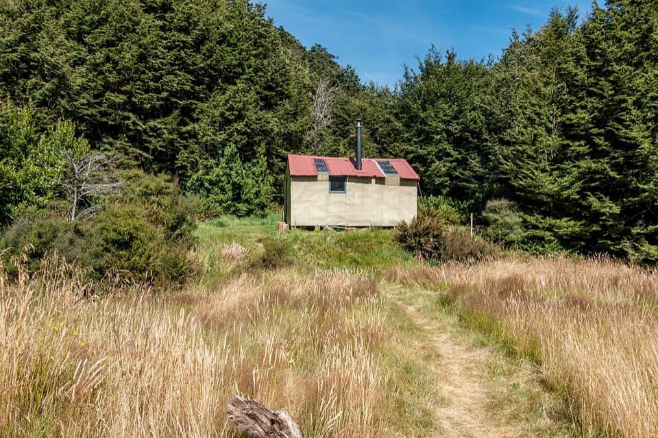
Bealey Spur Hut

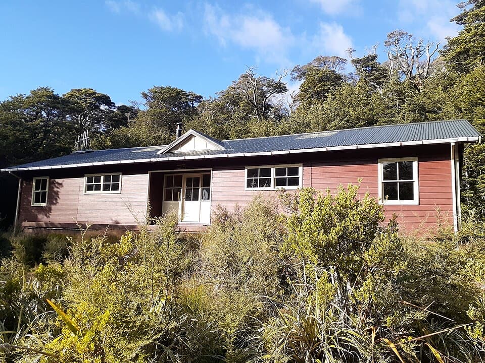
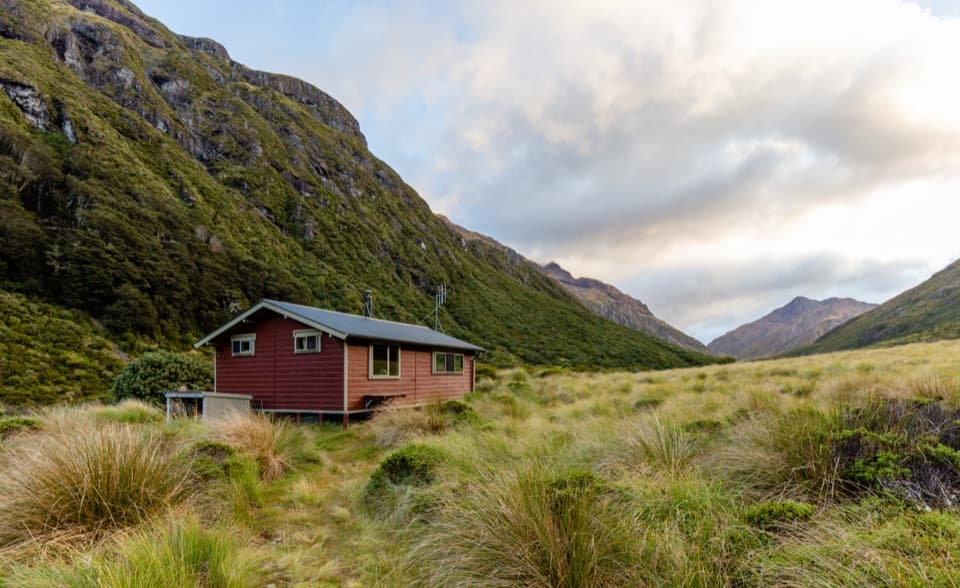
A 1925 mustering hut at the end of a gradual mountain walk.

Photo: Wikimedia Commons
Type
Lodging
Nearest trail
2.5 km
Audio stories
2 nearby
  • Restrooms

Hear the audio tour

Bealey Spur Track and Hut

Overview

About Bealey Spur Hut

Why stop

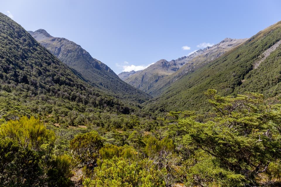
  • A historic hut and clear-weather valley views along a gradual climb.

Heads up

  • Very basic sleeping: six bunks, no mattresses and untreated tank water.

Map

Where it is

Loading the Arthur's Pass map
Full map
LodgingBealey Spur Hut-43.03301, 171.56996
Keep this map with you offline in the Parkwolf app

Plan your stop

Before you go

2 active Arthur's Pass alerts

  • CautionFlood damage and active slip on Harper Pass RouteFlood damage and an active slip make the western Harper Pass Route hazardous; expect difficult river crossings and avoid the slip during rain.Official details
  • CautionFlood damage on route to Sudden Valley BivvySignificant flood damage has washed away much of the route to Sudden Valley Bivvy; access is possible only when rivers are low.Official details

Arthur's Pass alerts
A park ranger sits on a dash-mounted phone, talking, as Parkwolf’s Tour Guide plays “Army Cutworm Moths: A Grizzly Bear Buffet” on Grand Loop Road below Dunraven Pass in Yellowstone
Parkwolf Tour GuideThe highest, rockiest slopes around here are a summer buffet for grizzly bears.

Arthur's Pass Tour Guide

Your drive to Bealey Spur Hut, narrated.

Parkwolf is a GPS audio tour guide for Arthur's Pass National Park. As you drive, it chimes in with what’s ahead: hidden gems, upcoming stops, history, geology, and wildlife, right through your car’s speakers.

Recorded for this place

Bealey Spur Track and Hut
0:00 / 0:28
“Bealey Spur Track is coming up, a gradual climb to a historic hut with wide Waimakariri valley views along the way. Allow about five hours for the twelve-kilometre return walk.”

Plays as you drive up to Bealey Spur Hut in the Parkwolf Arthur's Pass Tour Guide.

More stories near here in the app

  • O'Malleys Track to Turkey Flat
  • The Knowledge Behind Arthur’s Pass
  • The Bealey Hotel
  • Klondyke Corner Campsite
  • 42 audio storiesacross Arthur's Pass’s roads, triggered by GPS as you drive
  • Wildlife heatmapsfor Kea, New Zealand Falcon, Blue Duck, and 13 more
  • Works offlinemaps, 49 trails, 59 places, and audio download before you lose signal
  • CarPlay readysimple controls built for the drive
★★★★★
“Fantastic app with many points of information… It’s great to just turn on while you’re driving and it gives you an audio tour of the national Park. We love it!!!!”
JMJamesApp Store review
Download Parkwolf on the App StoreGet Parkwolf on Google Play

4.7 from 8,600+ ratings

Guide

More about Bealey Spur Hut

Make the walk for the hutBealey Spur Hut is a historic six-bunk backcountry hut in a clearing of mountain beech at the…

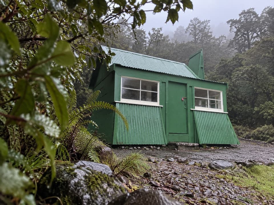
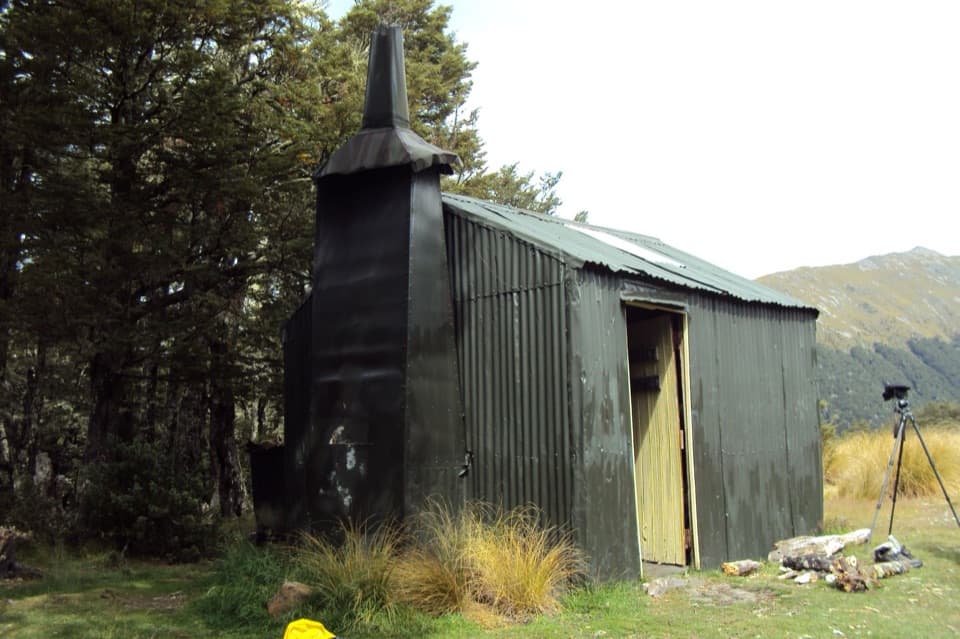
Bealey Spur Hut is a historic six-bunk backcountry hut in a clearing of mountain beech at the end of Bealey Spur Track. It’s a good destination for an overnight trip or a long walk with a proper place to reach. The route is 6 km one way and about 2½ hours each way. The climb is gradual by Arthur’s Pass standards, but it’s still a 12 km return walk if you come back the same day.

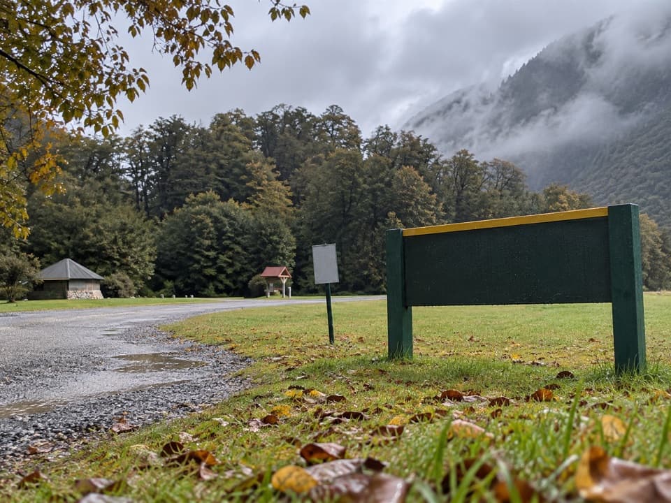
From forest to open countryThe track starts from a car park off State Highway 73, 14 km south of Arthur’s Pass village.

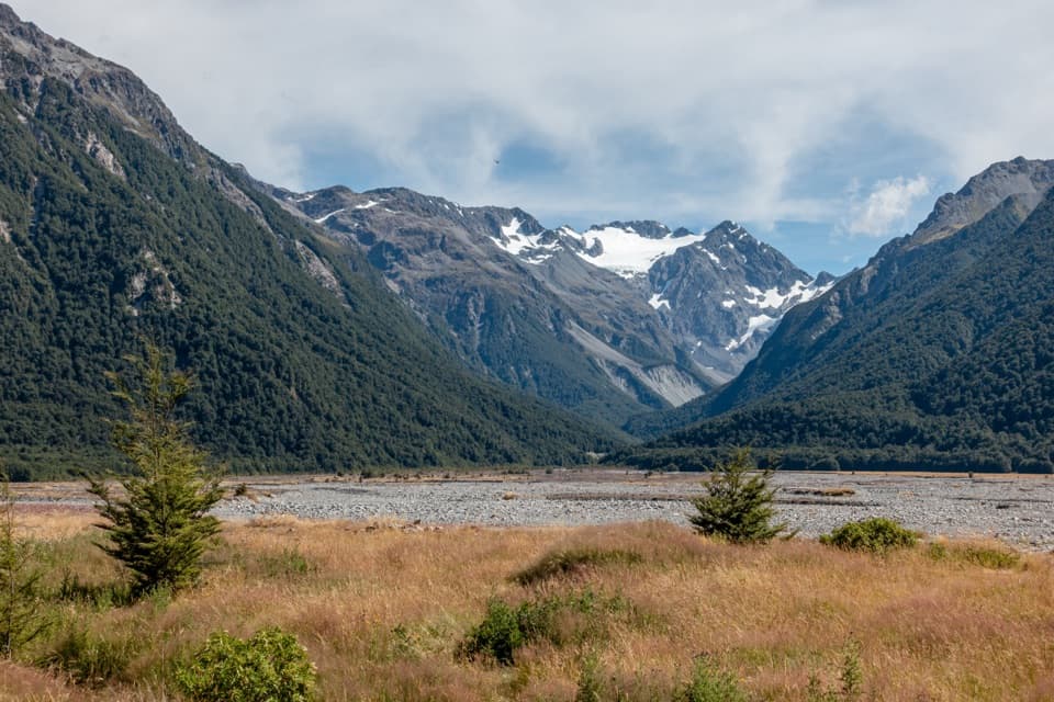
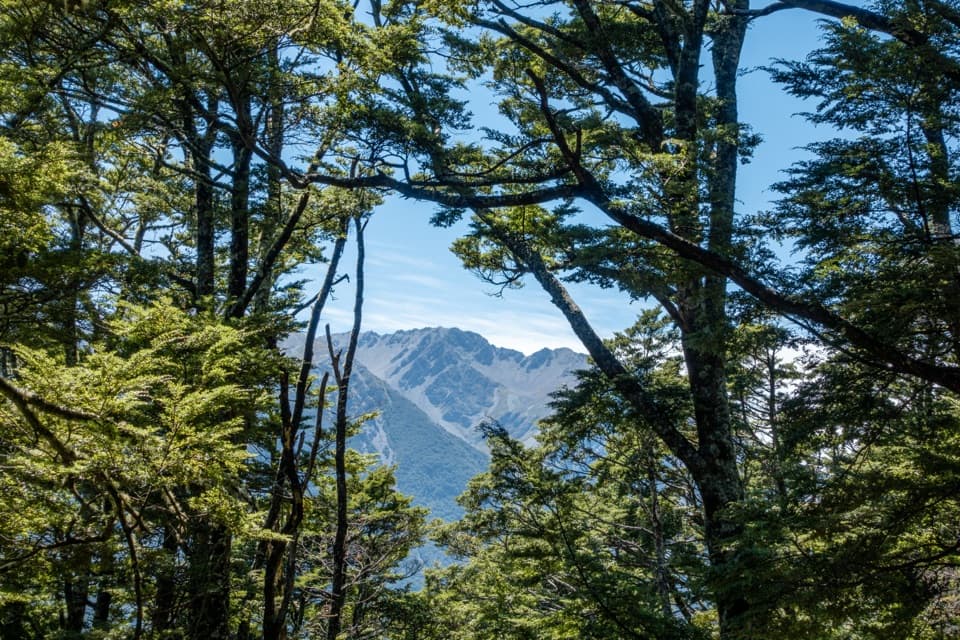
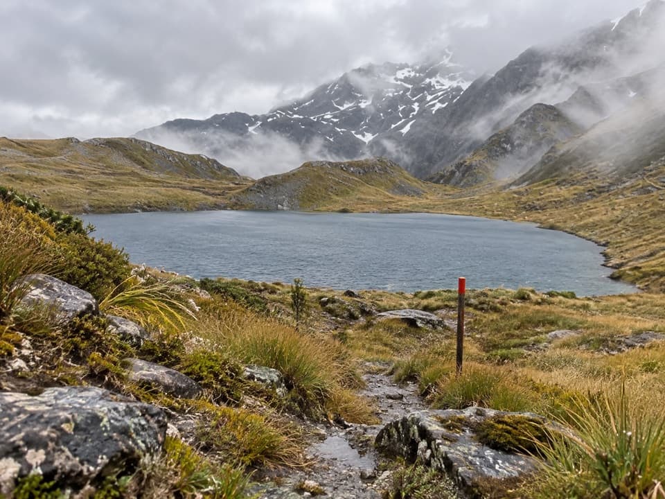
The track starts from a car park off State Highway 73, 14 km south of Arthur’s Pass village. From there, walk up Cloudesley Road to the track. It climbs through mountain beech, then tussock and subalpine scrub, passing tarns on the way to the hut. In clear weather, the open stretches look across the Waimakariri valley to the surrounding mountains. A cliffside section gives a sharp drop toward Bruce Stream, so take care with children there.

A working hut from 1925The hut was built in 1925 as a sheep-mustering base for the surrounding high country.

The hut was built in 1925 as a sheep-mustering base for the surrounding high country. As many as 6,000 sheep grazed there. Mustering ended when the land was retired in 1978 and added to the national park. Look nearby for the remains of a corrugated-iron dog kennel and an old holding-paddock fence. It’s also known as Top Hut; Musterer’s Hut and Top Horse Hut are older names.

What to expect insideThis is a very basic hut: six sacking bunks, a wooden floor and an open fire, with no…

This is a very basic hut: six sacking bunks, a wooden floor and an open fire, with no mattresses. Bring a bed roll or air mattress. A nearby pit toilet serves the hut, and the rainwater tank is untreated, so boil its water before drinking. The hut is first come, first served, with no booking required.

Plan around the conditionsThere’s no drinking water along the track, so carry at least a litre per person.

There’s no drinking water along the track, so carry at least a litre per person. The path can be muddy and rough underfoot, and higher sections may have snow in winter; the route is exposed to wind and cold. Wasps can be numerous from January to April. Dogs aren’t allowed on the track.

Wildlife

Wildlife in Arthur's Pass

All Arthur's Pass wildlife maps

Sighting maps show where each species has been reported across Arthur's Pass. Wildlife moves, so no sighting is guaranteed.

Parkwolf’s Arthur's Pass ranking

Top sights in Arthur's Pass

All 59 places
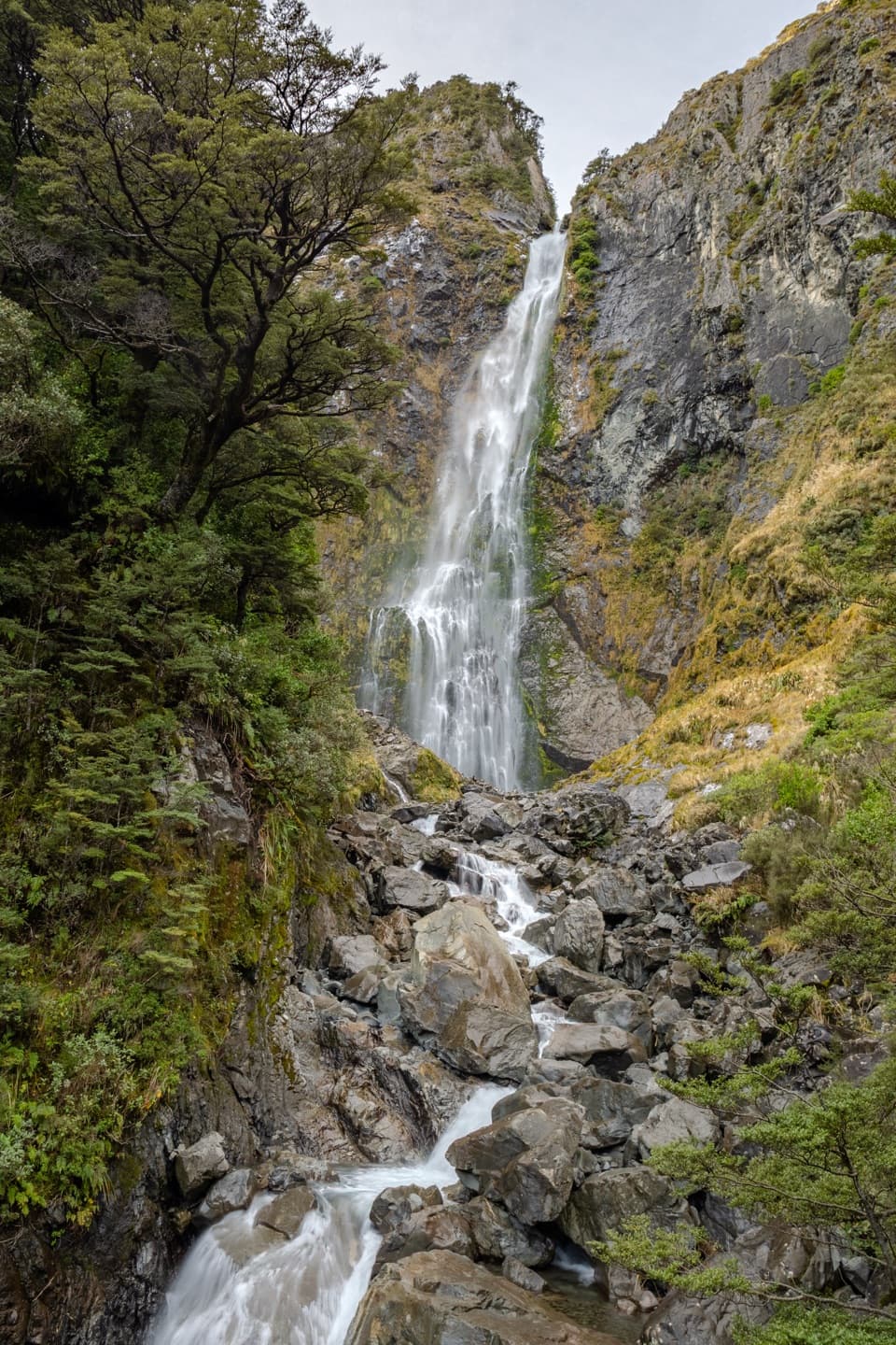
  1. 1Devils Punchbowl FallsSight
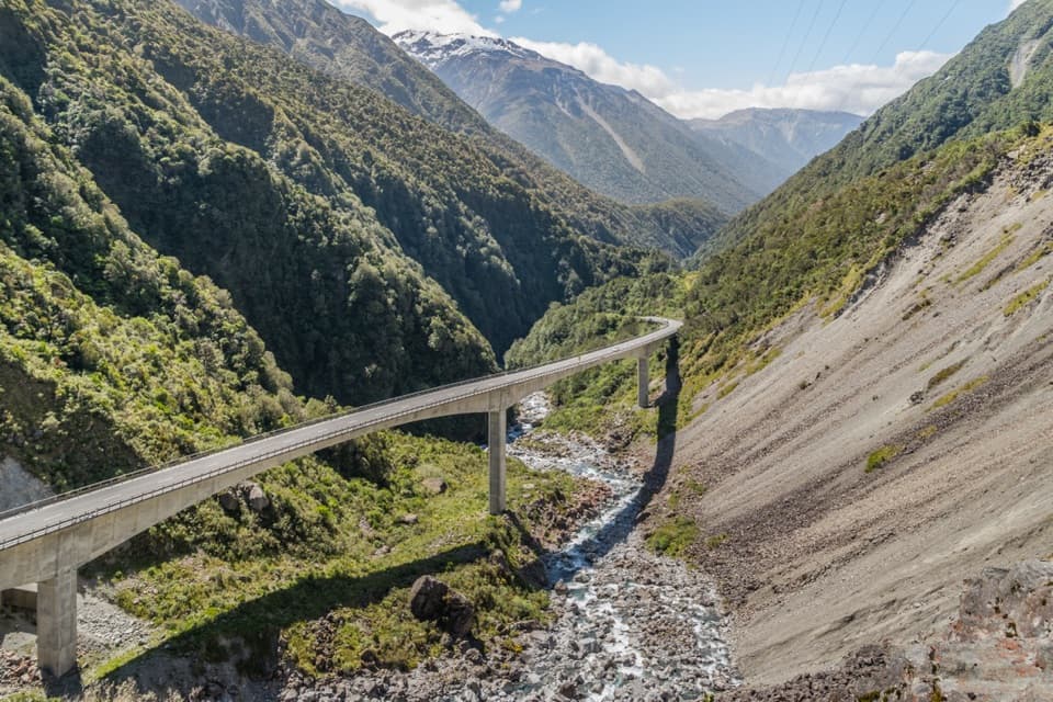
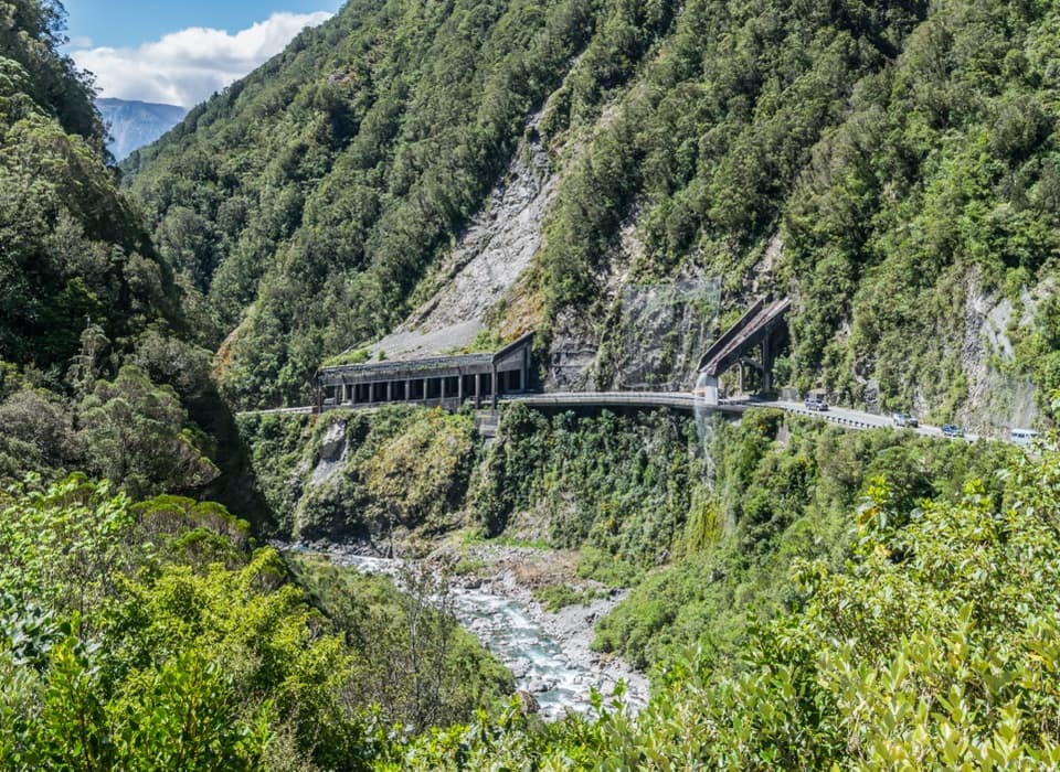
  2. 2Ōtira Viaduct LookoutSight
  3. 3Avalanche PeakSight
  4. 4Jacks HutSight
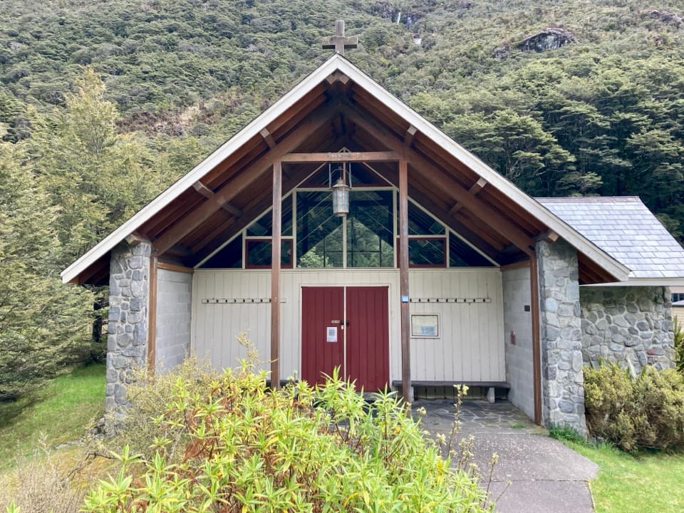
  5. 5Arthur’s Pass ChapelSight
  6. 6Ōtira Gorge Rock Shelter LookoutSight

Take Parkwolf to Arthur's Pass.

The audio tour guide for the drive, plus offline maps, trails, and wildlife heatmaps for when the signal drops.

4.7 from 8,600+ ratings

Download Parkwolf on the App StoreGet Parkwolf on Google Play