
Place · 2.7 mi away
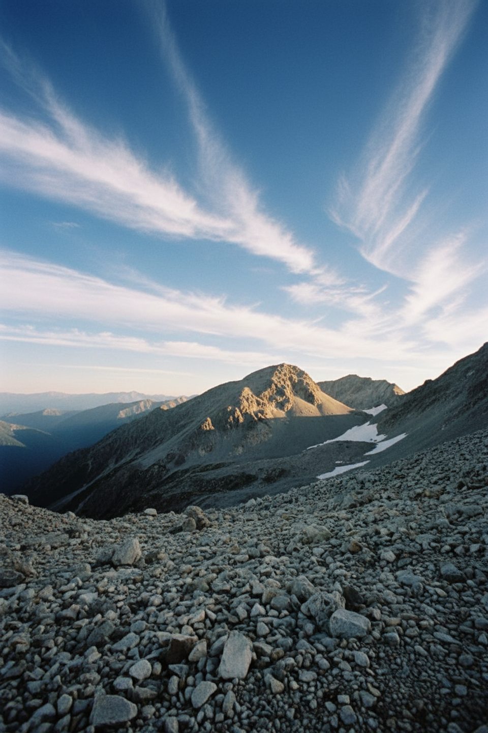
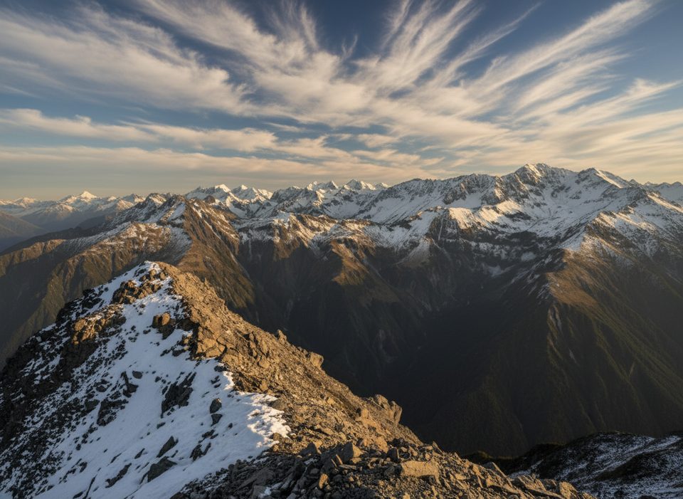
Whitehorn Pass is the cruxy, high-alpine heart of the Three Passes route—remote, wild, and deeply satisfying if you’ve got the skills. It sits between Harman Pass and the Wilberforce/Cronin side, delivering big Southern Alps vistas alongside very real hazards.
From Harman Pass the route trends toward a permanent snow/icefield under Whitehorn. Parties often sidle unstable moraine to reach firmer snow above, then climb to a cairned saddle. West side, a worn zigzag threads steep scree through bluffed flanks; it’s easy to kick loose rocks, so move one at a time. Down in Cronin Stream, expect slow boulder and tussock travel and careful route-finding.
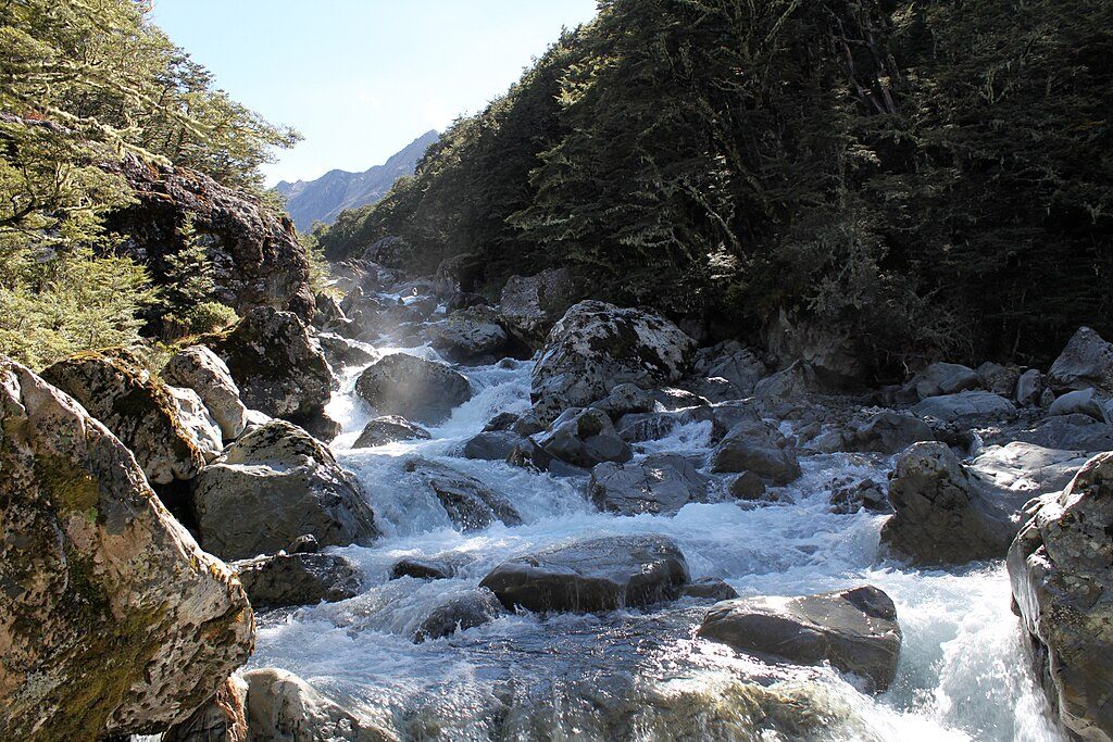
This pass keeps snow and ice through summer and can hold crevasses late season. The west drop is avalanche-prone. Rivers on the approach rise fast after rain; crossings on the Waimakariri/White/branches can shift from manageable to no-go in hours. In poor visibility the pass isn’t obvious—save it for a clear window.
Think true transalpine: off-track navigation, confident snow travel, and comfort on loose scree. Carry and know how to use an ice axe and crampons; trekking poles help but aren’t a substitute when it’s firm. Leave intentions and take a PLB. A map, compass, and the judgment to turn around are as important as any hardware.
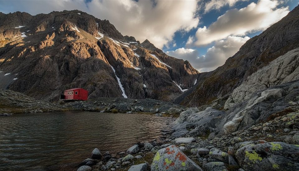
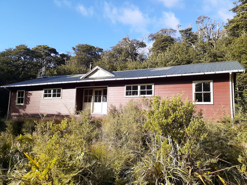
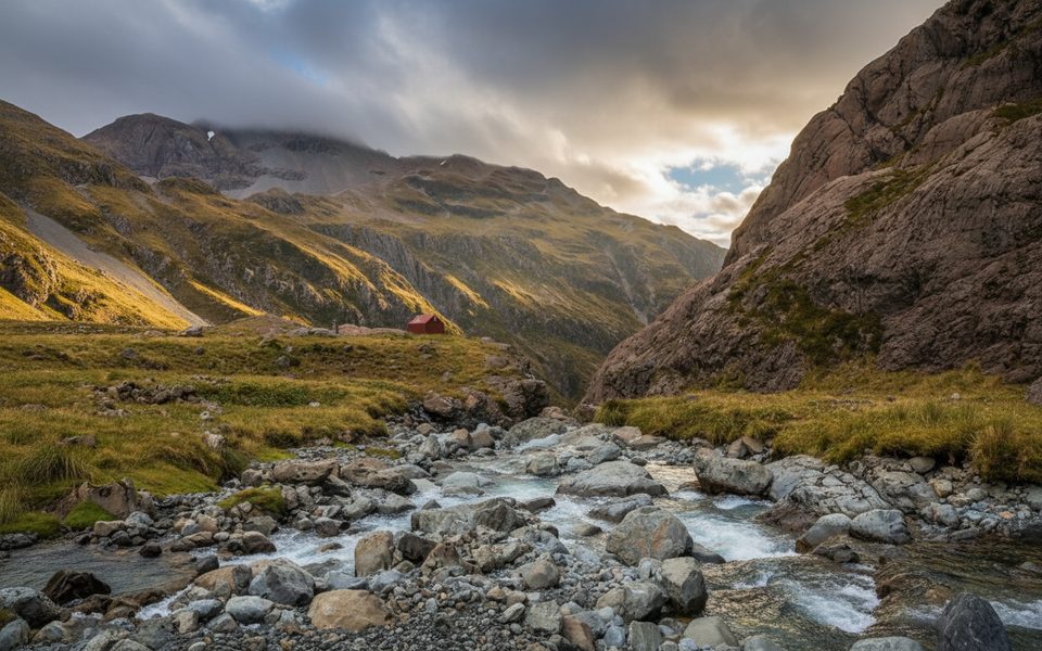
Carrington Hut (east, large) is the natural springboard to Harman–Whitehorn; Park Morpeth Hut (west, small) is the first good shelter after the descent. Camping options are scarce up high—the only sensible one on this section is near Harman Pass at the Ariels Tarns.
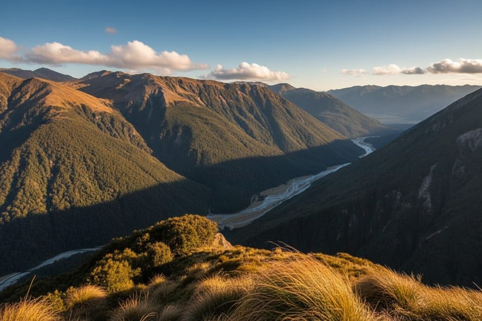
You’re in classic alpine tussock and greywacke country—keep an eye out for cheeky kea around the high passes and listen for whio/blue duck on the rivers.
Fit parties often take around 2.5 hours from Carrington to the top of Harman, then make a long 8–10 hour day to reach Park Morpeth over Whitehorn. Weather delays are common; build slack into your plan.
Mid to late summer offers the most reliable window, but storms and nor’west fronts still flip the script quickly. Aim for a clear day for visibility on the saddle and safer river levels; winter conditions and avalanche paths make this a no-go for most.
Place · 2.7 mi away
Place · 2.8 mi away
Place · 4.7 mi away
Place · 6.2 mi away
Easy · 8.5 mi away
Challenging · 8.5 mi away
Easy · 8.5 mi away
Challenging · 8.6 mi away

Parkwolf Tour Guide
