
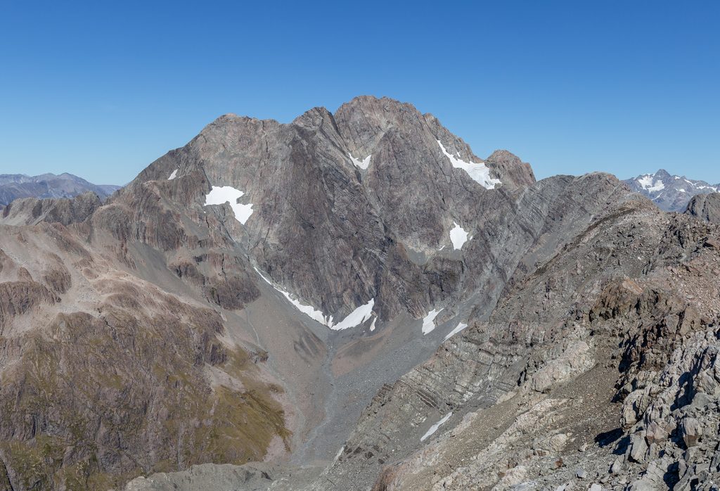
Place · 1.8 mi away
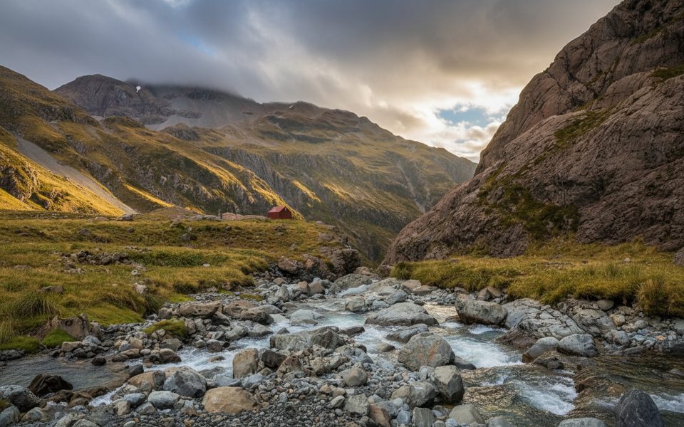
High in the upper Waimakariri, this waterfall thunders through a stark alpine cirque—big rock walls, big boulders, and wild river energy. It’s not a roadside stop; reaching it is a proper backcountry mission, which is exactly why it feels special when you finally stand above the drop.
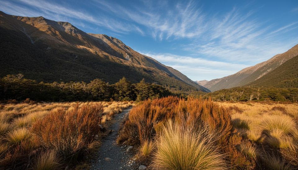
Most parties start at Klondyke Corner on SH73, tramp 4–6 hours up-valley to Carrington Hut, then continue 3–5 hours (about 7.6 km) to Waimakariri Falls Hut beside the upper river. Expect river travel, occasional muddy or washed‑out sidles, and rough, sometimes scree‑y ground. This is genuine off‑track navigation in places, with poles and cairns guiding key sections.
Shortly before the falls, the route leaves the river on the true right where the river swings against a small bluff—watch for markers. A steep five‑minute climb through scrub gives a prime view of the falls. Near the second falls you’ll pick your way through big boulders; either ford the river or use the swingbridge above the falls to reach the hut.
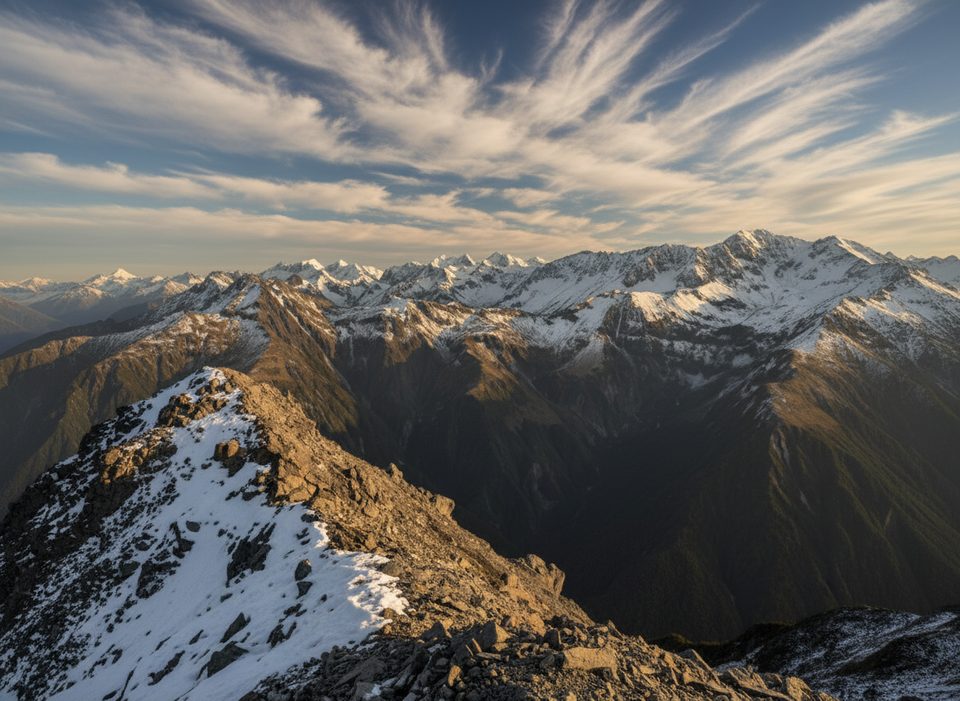
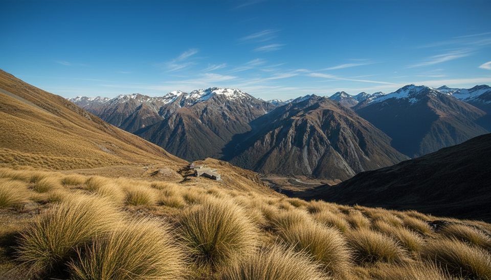
The setting delivers: spectacular waterfalls backed by sheer rock faces and wide‑open alpine country. In summer the basins pop with alpine flowers, turning a hard‑won viewpoint into a surprisingly colorful one.
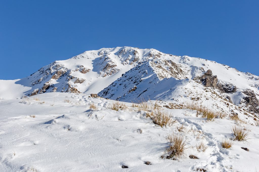
This country is no joke. Multiple avalanche paths threaten the route and even the hut. Year‑round snow lingers on nearby high passes; if you’re pushing into snowy terrain, you’ll need proper alpine skills (think ice axe and crampons) and sharp judgment. River levels can spike—don’t force crossings.
If you’re continuing over the Main Divide, the recommended line to the Rolleston River is not via Waimakariri Col but higher to the northwest under Mt Armstrong. Expect steep scree, bluffs, and committing sidles above gorged river sections—serious terrain for competent parties only.
Go in settled summer conditions when avalanche hazard is lower and travel is cleaner. Avoid winter and early spring, or any period after heavy snowfall or heavy rain when upper slopes are loaded. Always check the local avalanche forecast before committing.
Place · 1.8 mi away
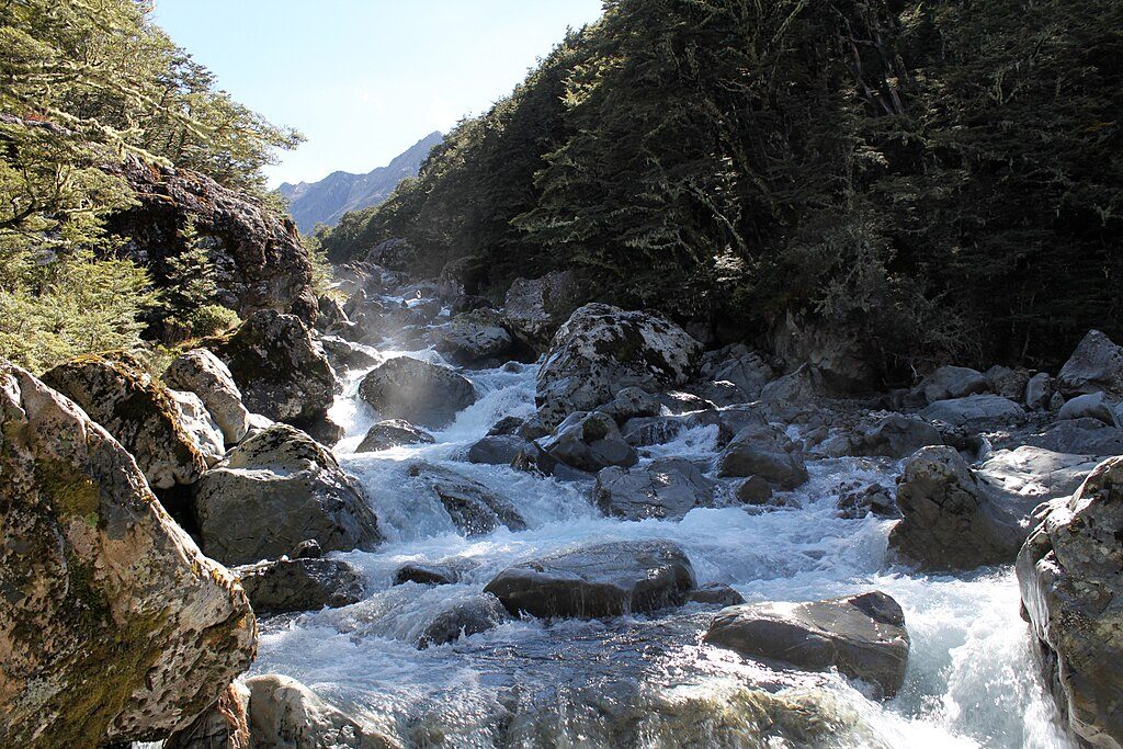
Place · 2.3 mi away
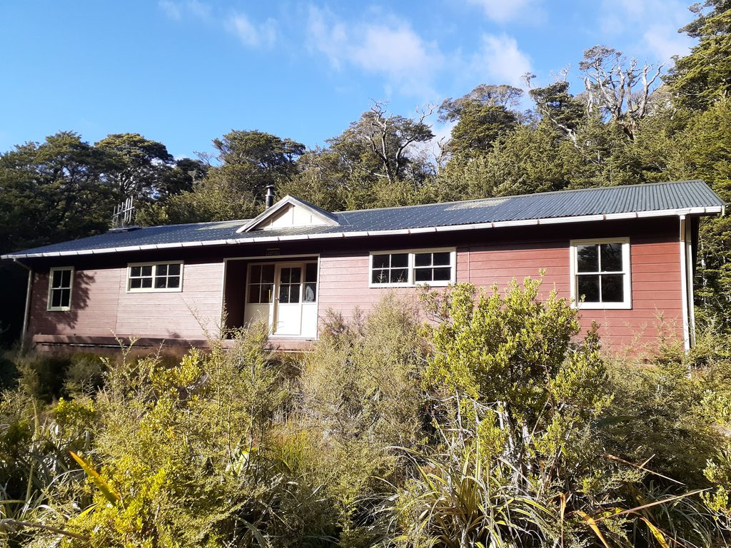
Place · 3 mi away
Place · 3.2 mi away
Challenging · 3.9 mi away
Easy · 3.9 mi away
Moderate · 4 mi away
Easy · 4.1 mi away

Parkwolf Tour Guide
