
Place
Moderate

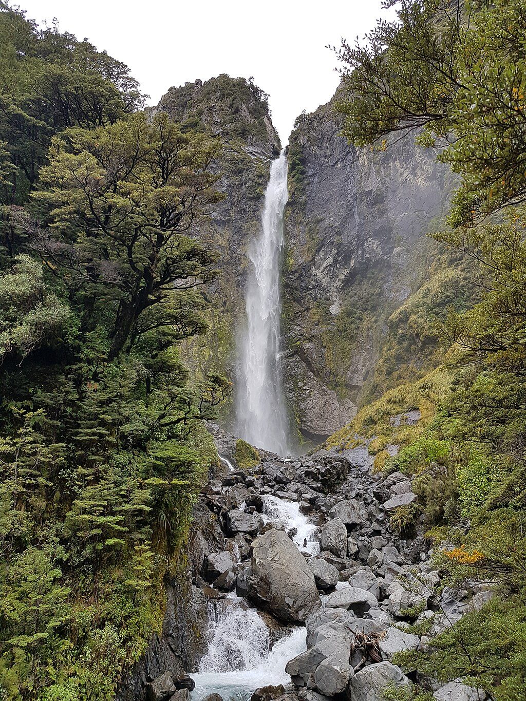
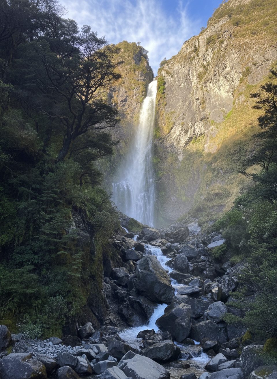
A classic Arthur’s Pass sampler: a short, well-built track through lush beech forest to the base of Devils Punchbowl Falls, a roaring 131 m waterfall you’ll both see and feel. It’s an out-and-back walk, 1.9 km total (about 1.2 miles), typically 30–60 minutes depending on photo and breath-taking stops. Fitness need is low to moderate, but don’t underestimate the stairs—there are a lot of them and some folks find that the climb feels tougher than the stats.
Start at the Punchbowl car park just off State Highway 73 at the northern end of Arthur’s Pass village. A footbridge crosses the Bealey River almost immediately, then another bridge spans Devils Punchbowl Creek—your first clear look at the falls. From there the track climbs steadily on wooden steps through beech forest to a viewing platform at the base of the falls. Return the same way. Expect roughly 106 m/347 ft of elevation gain, concentrated in those stairs.
Native beech forest, a rocky gorge, and a long white ribbon of water plunging into a misty amphitheater. Birdlife is a real bonus here: fantails/pīwakawaka and tomtits are commonly encountered, and kea are often about in the area. On a calm evening there’s even a chance to hear the great spotted kiwi/roroa.
This track is open year‑round. Mountain weather here is fickle—wet and cold can hit any month, even summer—so pack layers and a waterproof. Waterfall flow is excellent after rain (a good “rain day” option if you’re prepared to get damp), and early or late in the day helps with thinner crowds and softer light. For seasonal context: summer runs December–February, autumn March–May, winter June–August, spring September–November.
Parking is at the Punchbowl car park; the track is signposted from the highway. There are narrow sections with steep drop‑offs—keep back from edges and stick to the formed track and viewing platforms. Bring drinking water, insect repellent, sun protection, warm layers, a wind/waterproof jacket, hat and gloves, plus sturdy footwear. Take the stair climb at a steady pace and hydrate. Drones require prior authorization on conservation land. Dogs are not allowed. No fees are noted for this walk.
Absolutely—big payoff for a small time investment. It’s one of the park’s best short walks: close-up waterfall drama, classic South Island beech forest, and tidy track work. The only real downsides are the sustained stairs and potential crowds at peak hours; start early or go late if you want the viewing platform to yourself.
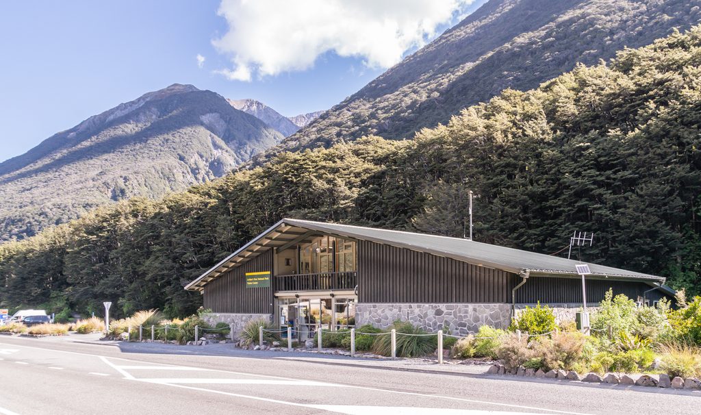
Punchbowl car park just off State Highway 73 at the north end of Arthur’s Pass village; signposted from the highway.
Numerous stairs and some narrow sections with steep drop‑offs; weather can be wet and cold any time—carry layers and waterproofs, and stay on formed tracks and viewing platforms. Drone use requires prior authorization.
Place
Place
Place
Place
Challenging
Challenging
Moderate

Challenging

Parkwolf Tour Guide
