
Place
Challenging
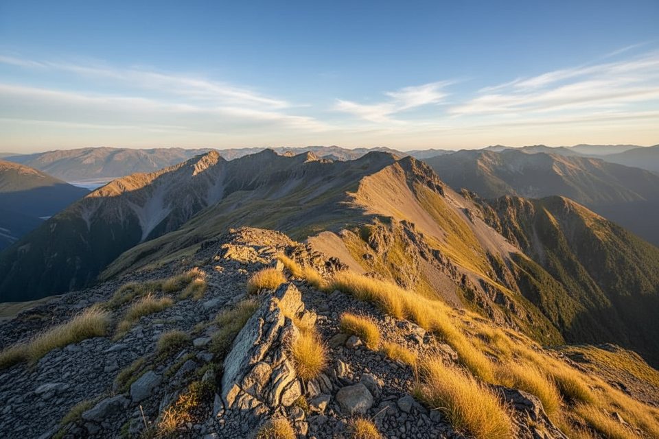
Scott’s Track is the gentler of the two main routes up Avalanche Peak, climbing from the Devils Punchbowl car park to the bushline and then following a poled alpine ridge to the summit. As an out‑and‑back to Avalanche Peak, expect roughly 4.4–4.7 miles total with about 3,300–3,600 feet of gain; many hikers instead pair it with the steeper Avalanche Peak Track for a loop. Plan on a demanding half‑ to full‑day: commonly 5–7 hours round‑trip depending on fitness and conditions.
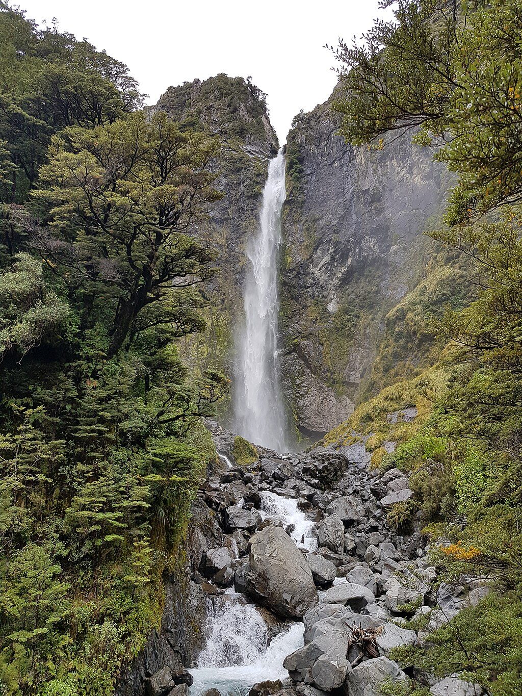
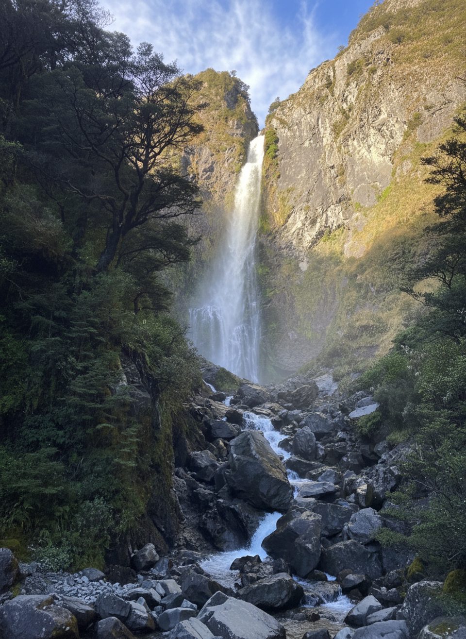
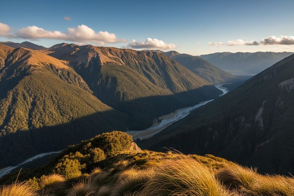
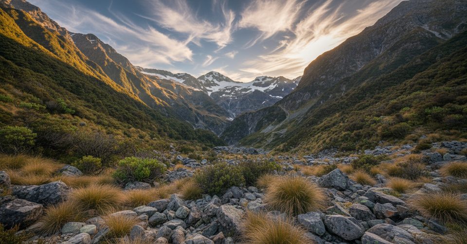
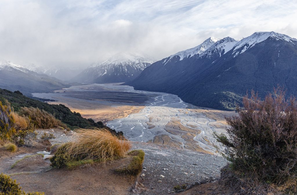
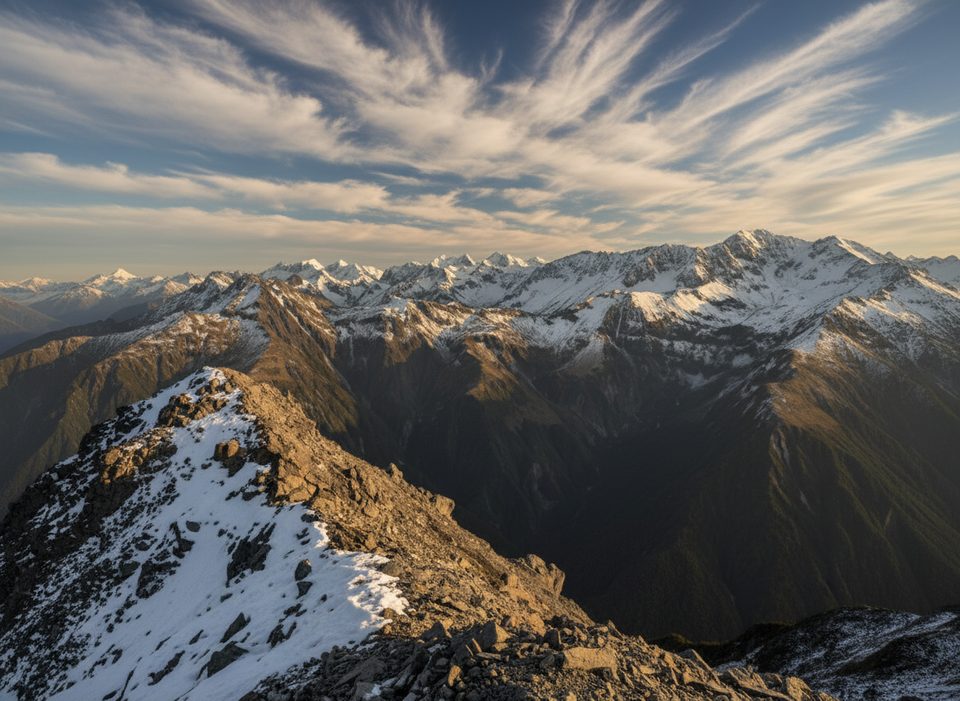
You’ll start with steady zigzags through mountain beech forest before bursting above the bushline onto a broad tussock ridge. From here the scenery turns cinematic—serrated Southern Alps ridges, drop‑offs into McGrath Creek, and sweeping views toward the village and surrounding ranges. Kea are often seen near the treeline—watch them, don’t feed them. Back at the car park, a short side trip leads to Devils Punchbowl Falls if you want a waterfall chaser for your summit day.
Below the bushline you’re on a marked tramping track; above it, Scott’s Route is staked with orange poles. Near the top, markers briefly overlap with the other route to Avalanche Peak. If you’re descending Scott’s, make sure you follow the ridge trending toward Mount Cassidy—not toward Mount Rolleston—and do not try to shortcut between the two ridges (a hidden canyon blocks the way). Note your entry point at the bush edge for an accurate re‑entry on the return. The track begins about 30 m from the Devils Punchbowl car park; you’ll cross SH73 to start and again to finish—use the marked track and avoid walking along the highway.
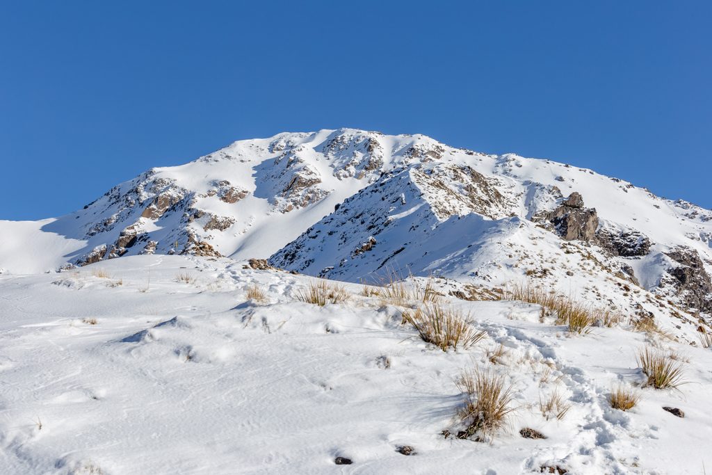
This is serious alpine terrain: steep, exposed in places, and unforgiving in wind or poor visibility. Expect big steps, rough footing, and some hands‑on travel near the tops. Winter and spring bring avalanche hazard (and it can linger whenever snow remains); only go with the skills and gear to assess and travel safely. Rapid weather changes are the norm. People have been seriously injured or worse on these routes—treat it with respect and turn back if conditions sour.
Summer and autumn offer the friendliest conditions, with many hikers targeting roughly November–May for longer, warmer days. Start early—shadows fall fast here as the sun drops behind the ranges—and aim to be off the tops before afternoon weather shifts. Wear sturdy boots; poles are great for the steep descent. Pack waterproof layers, sun protection, and plenty of food and water. If you want the loop experience, a popular strategy is up the steeper Avalanche Peak Track and down Scott’s for a kinder forested descent.
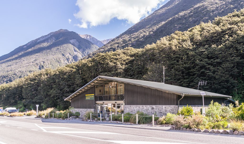
Park at the Devils Punchbowl car park at the north end of Arthur’s Pass village; the signed start for Scott’s Track is ~30 m away across SH73. Use the marked crossings/tracks—do not walk along the highway.
Steep, exposed alpine terrain with rapid weather changes; avalanche risk in winter/spring or whenever snow remains. Follow orange poles and choose the Mount Cassidy ridge on descent; do not shortcut between ridges. Re‑enter the bush at the correct point and avoid the highway. Carry appropriate gear and turn back in poor visibility or high winds.
Place
Place
Place
Place
Challenging
Moderate
Moderate
Challenging

Parkwolf Tour Guide
