
Place · 1.4 mi away
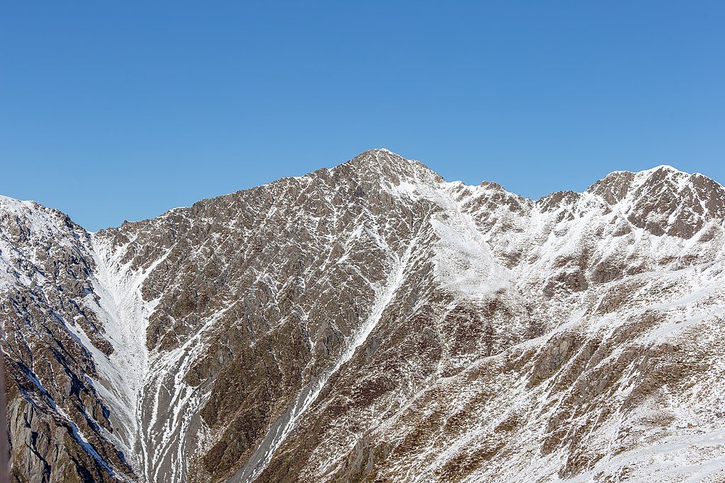
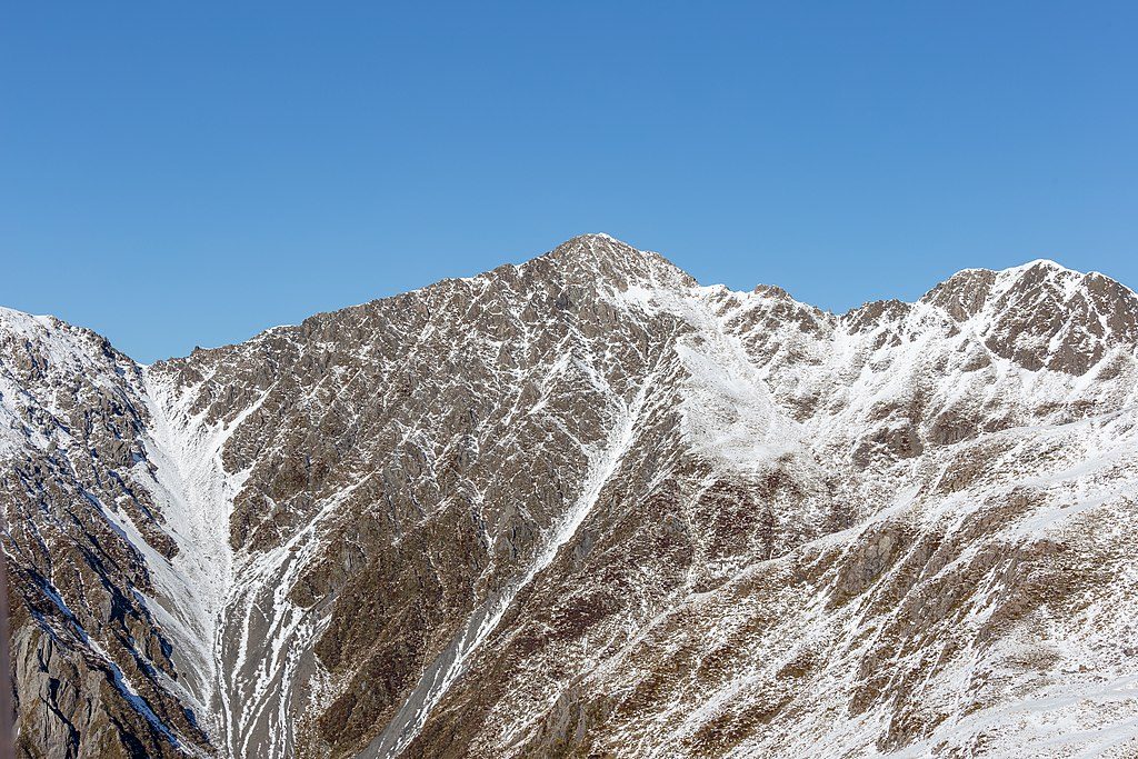
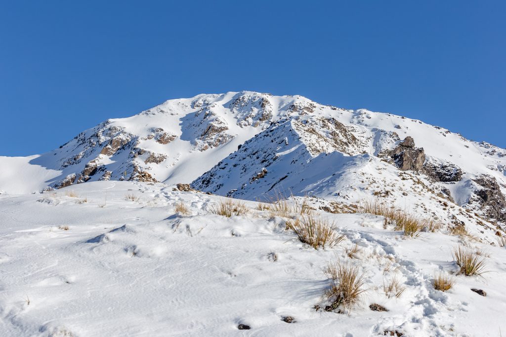
Mt Bealey tops out at 1,836 m and delivers a classic Arthur’s Pass adventure: a brutally steep climb to the bushline, then an unmarked alpine ridge to wide‑open views. The official Department of Conservation track stops at the bushline; the summit is reached via a user‑worn route suitable only for experienced, well‑equipped trampers.
Treat everything above the bushline as an alpine trip. Strong route‑finding and navigation skills are essential, and turning back is the right call if weather or visibility deteriorates. There are no reliable water sources—carry plenty. Pack warm and waterproof layers, spare food, a headlamp with extra batteries, an emergency shelter and a distress beacon. In winter or when snow lies, expect freezing temperatures and avalanche hazard; only proceed with the skills and gear to match (ice axe, crampons, transceiver, probe, shovel—and know how to use them). Do not try to shortcut off the ridge toward streams to reach the village; terrain cliffs out.
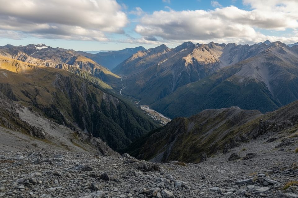
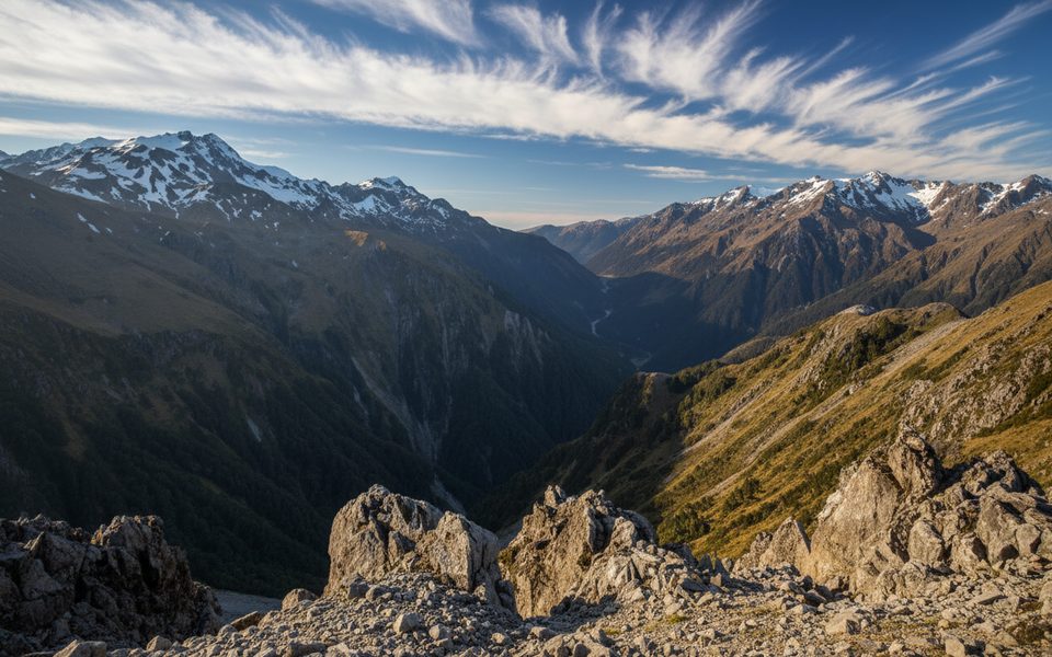
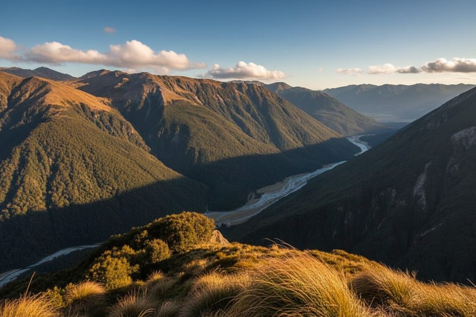
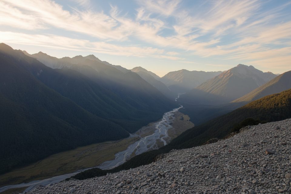
Once you break the trees, the views ramp up quickly—tussock slopes, craggy ridges and the surrounding peaks of the range. Many hikers call the panorama and the sense of accomplishment the payoff of the day.
From the summit, some continue north along the range toward Avalanche Peak (~3.8 km, commonly 2–3 hours). The first kilometre is the crux—narrow, loose and very exposed. A common tactic is to sidle west across scree to avoid the most jagged ridge, then regain it near Pt 1778 before continuing over Lyell Peak to Avalanche Peak. Attempt this only in clear, settled weather with solid off‑track experience.
Above the bushline you’re in subalpine tussock and rocky terrain. Kea are often encountered around Arthur’s Pass—enjoy them but secure food and gear.
Pick a clear, calm day when you can see the route and enjoy the views. Start early to give yourself the 4–6 hour window in full daylight. Winter or snow conditions add serious objective hazards and require technical skills and equipment—save the summit for fair‑weather, snow‑free periods unless you’re properly trained and equipped.
Place · 1.4 mi away
Place · 1.4 mi away
Place · 1.4 mi away
Place · 1.5 mi away
Challenging · 1.4 mi away
Easy · 1.8 mi away
Challenging · 1.8 mi away
Challenging · 2.2 mi away

Parkwolf Tour Guide
