
Place
Challenging
A steep, rugged grind straight out of Arthur’s Pass village, the Mount Aicken Track punches from mossy beech forest to open tussock and rocky ribs with sweeping alpine views. The named track officially ends at the bushline; many experienced parties push higher onto the unmarked tops toward the 1844–1863 m high points, but that becomes true alpine route‑finding. Expect a demanding day with hands-on moments and zero frills.
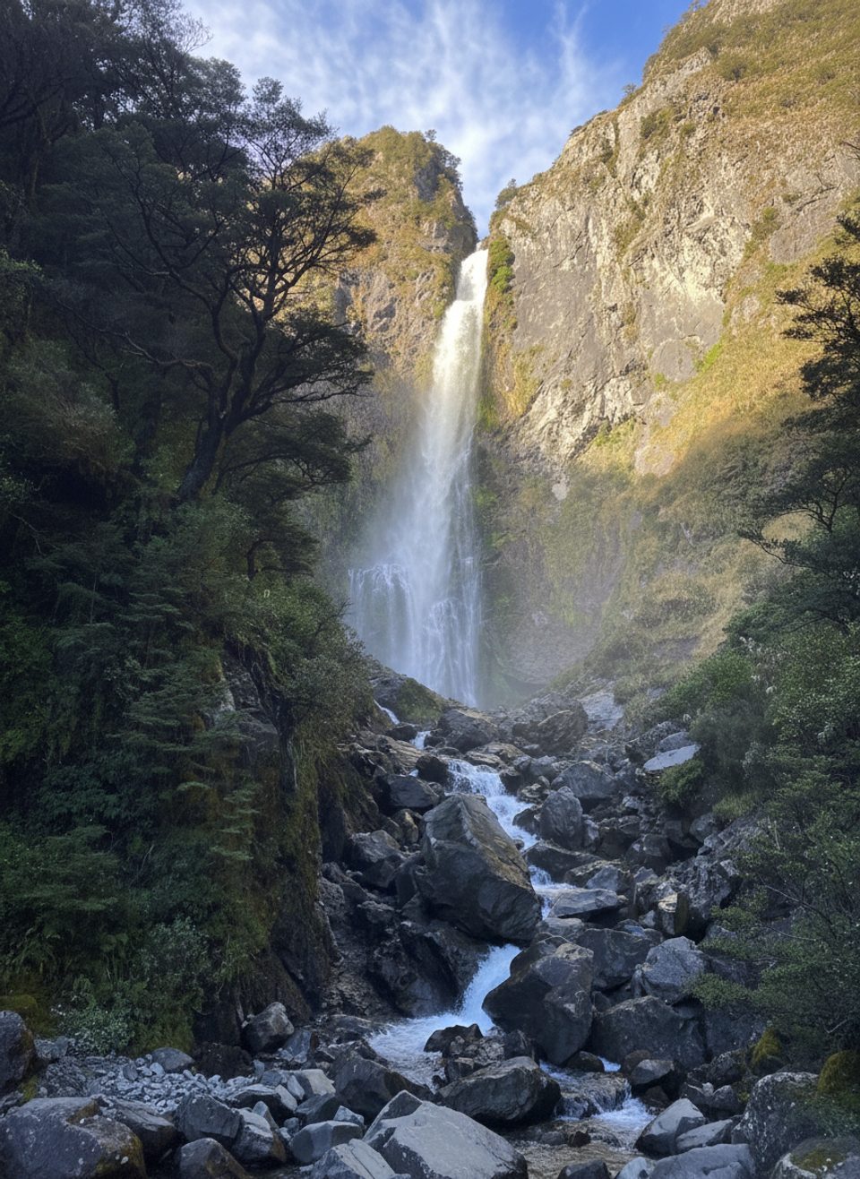
Plan on about 3.5 miles total (out and back, to the bushline) and roughly 3.5 hours for most fit hikers if you turn around at the bush edge. The first ~15 minutes follow the Devils Punchbowl Track from the Punchbowl Road carpark before a not‑signposted turn branches onto Mount Aicken. From there it’s relentlessly steep: through forest, past old hydro works and boggy clearings, up a short scree gully near treeline, then out to tussocky, rocky ground. Beyond the bushline there is no marked track.
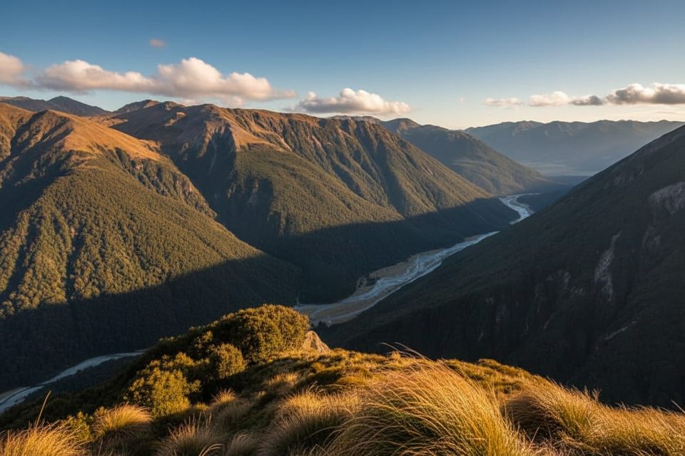
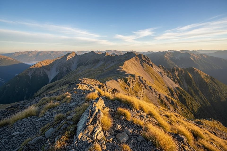
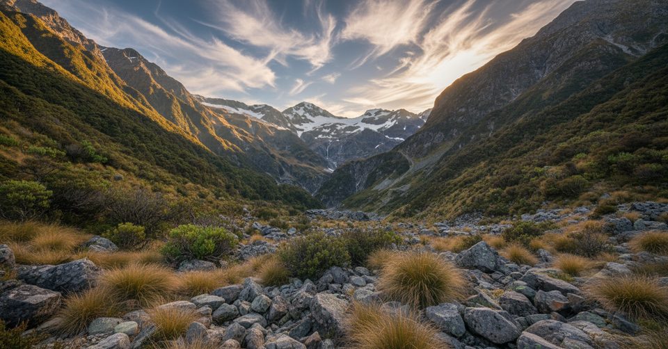
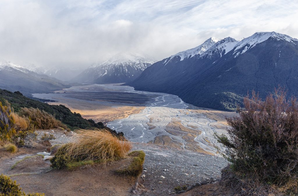
Below, the path tunnels through damp beech forest where you may spot relics of early hydropower. Higher up, clearings and cliff‑edge sidles tease views down to the village. Break the treeline and the world opens: big faces around Punchbowl Creek, with rugged peaks and ridges spreading across the valley. Kea are occasionally encountered around the upper slopes—secure your snacks and anything shiny.
This is an advanced tramping track: steep, rough footing, and easy to underestimate. Follow orange markers in the forest; above treeline, dense marking stops and navigation becomes serious. Common mistakes include drifting into the scree basin from the 1844 m point toward hazardous country, or chasing an obvious trig visible from treeline (there is no track to it). On descent, keep Punchbowl Creek on your right (north) and regain the ridge if you wander—being able to see into the escarpment is your handrail.
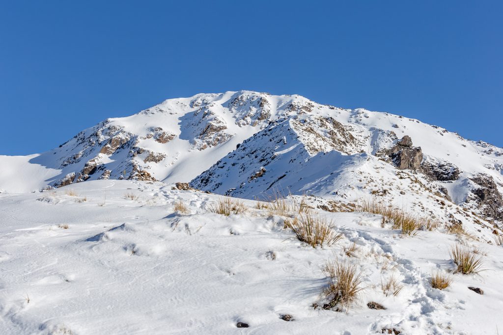
Go on a settled day with good visibility. In rain, storm, or low cloud, the tops become unpleasant at best and dangerous at worst, and the views vanish. Winter conditions bring snow, ice, and avalanche risk; only proceed if you have the full snow kit (ice axe, crampons, transceiver, probe, shovel) and the skills to use it. When weather is marginal, the bushline is a worthy turnaround.
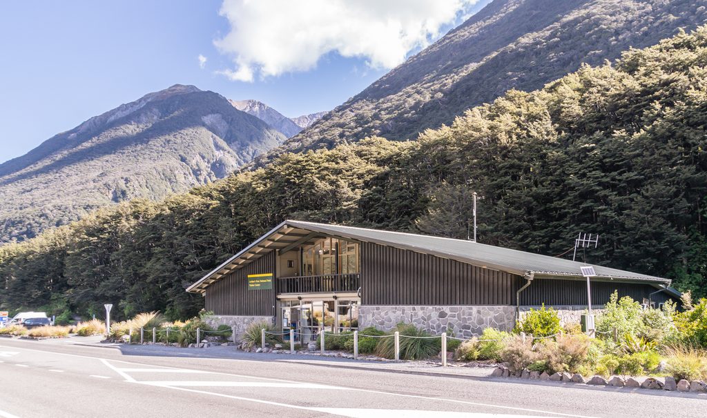
Punchbowl Road carpark, about 500 m north of the visitor centre; begin on the Devils Punchbowl Track.
Steep, rough track; unmarked alpine terrain above bushline with serious navigation traps. In winter expect snow, ice, and avalanche risk; carry and know avalanche/snow travel gear. On descent keep Punchbowl Creek on your right to stay on route.
Place
Place
Place
Place
Challenging
Challenging
Moderate
Moderate

Parkwolf Tour Guide
