Overview
About Conata Picnic Area
Why stop
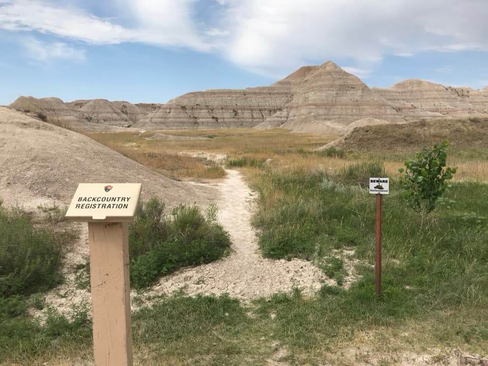
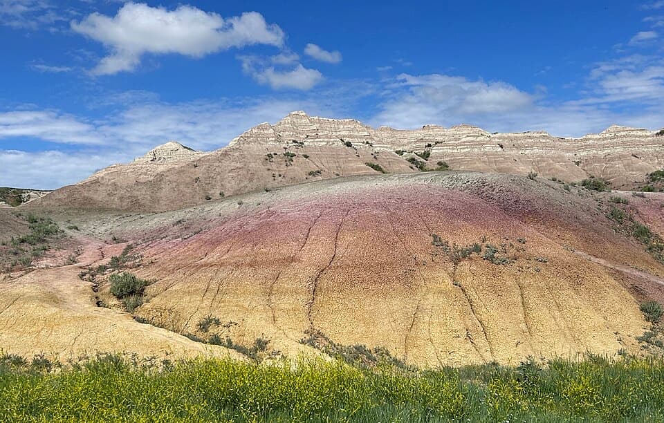
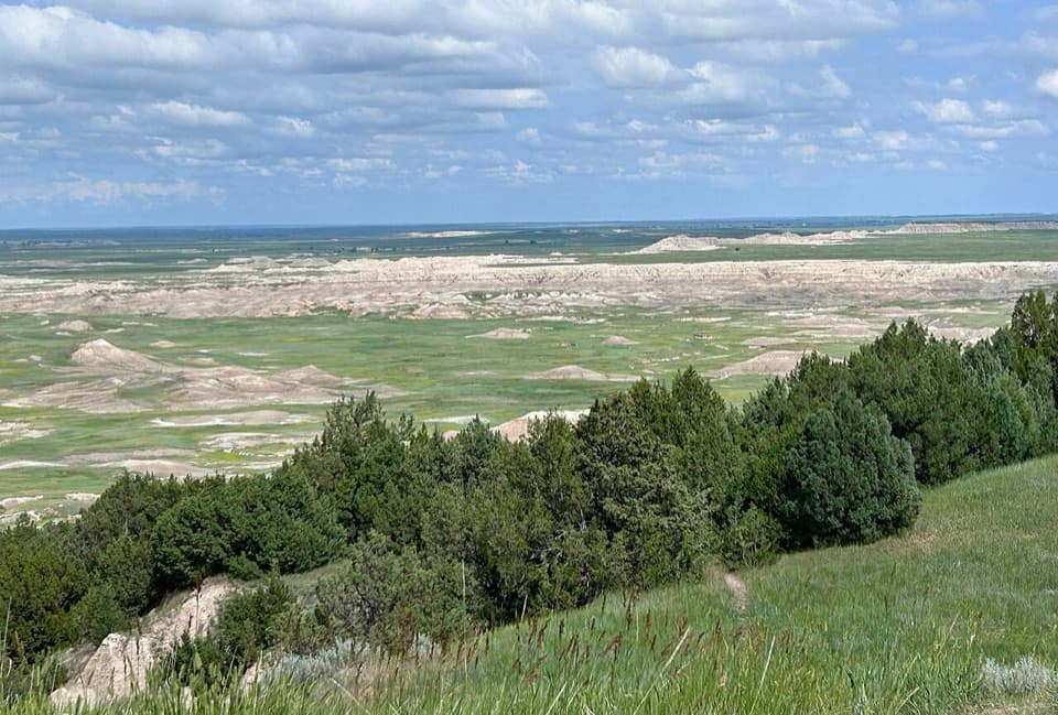
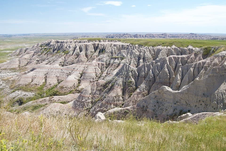
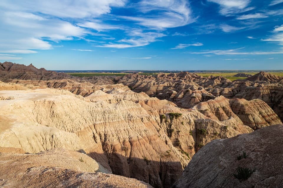
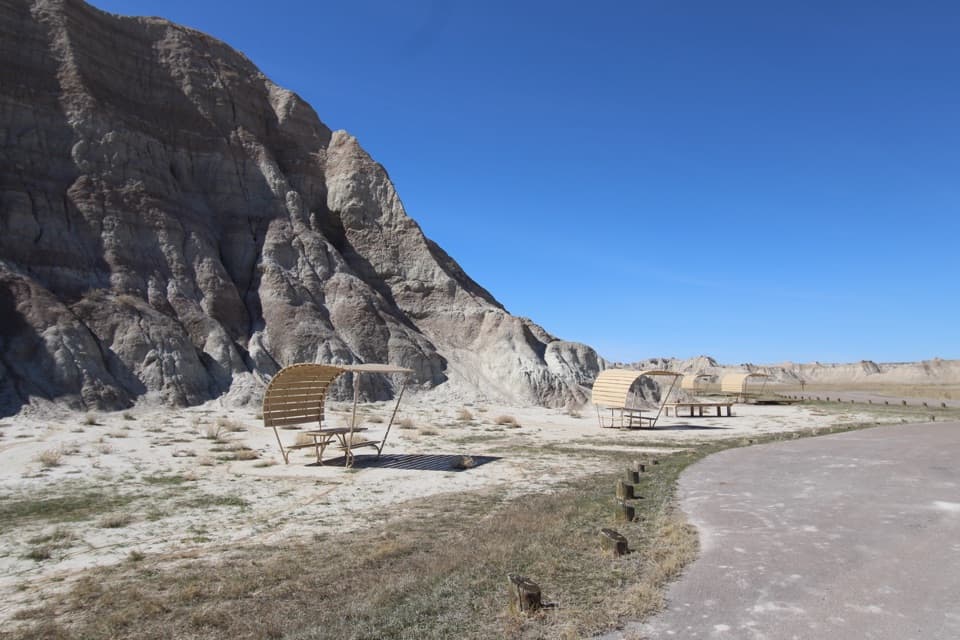
- Sheltered picnic tables sit beneath distinctive striped badland slopes.
Heads up
- Tables and parking may be limited.
Map
Where it is

The highest, rockiest slopes around here are a summer buffet for grizzly bears.
Badlands Tour Guide
Your drive to Conata Picnic Area, narrated.
Parkwolf is a GPS audio tour guide for Badlands National Park. As you drive, it chimes in with what’s ahead: hidden gems, upcoming stops, history, geology, and wildlife, right through your car’s speakers.
See the Badlands audio tourRecorded for this place
Conata Picnic Area and Deer Haven“You're coming up on Conata Picnic Area, with sheltered tables below striped badland slopes. It's a useful lunch stop if you've brought food.”
Plays as you drive up to Conata Picnic Area in the Parkwolf Badlands Tour Guide.
More stories near here in the app
- Yellow Mounds and Conata Basin
- Conata Basin's Ferret Comeback
- What an Oreodont's Teeth Reveal
- Homestead Overlook
- 116 audio storiesacross Badlands’s roads, triggered by GPS as you drive
- Wildlife heatmapsfor Bison, Bighorn Sheep, Prairie Dog, and 13 more
- Works offlinemaps, 11 trails, 34 places, and audio download before you lose signal
- CarPlay readysimple controls built for the drive
“We recently toured Badlands, Custer State Park, Mount Rushmore and more! We learned so much from this app as we toured each of these sites. The audio tours are worth the money.”


Guide
More about Conata Picnic Area
A quiet break off the loopConata Picnic Area is a remote picnic and rest stop reached from Badlands Loop Road by turning…
Conata Picnic Area is a remote picnic and rest stop reached from Badlands Loop Road by turning onto Conata Road. Sheltered tables sit below striped badland slopes, with a vault toilet and parking. Bring a meal: Cedar Pass Lodge is the park's only place to buy food. A few visitors report limited tables and parking, so don't count on a table being free. The park lists wheelchair accessibility and accessible picnic sites.
Deer Haven is a backcountry outingThe west side of the parking lot is also the Deer Haven trailhead.
The west side of the parking lot is also the Deer Haven trailhead. The route follows unmaintained game trails across open prairie and drainages toward an alcove of junipers, visible from far off. The worn path eventually fades before a brushy, steep climb. This is a navigation-dependent backcountry outing, not a maintained trail for a casual leg-stretch.
The Big Pig DigThere is an unexpected paleontology story just outside the picnic area: exposed bones found…
There is an unexpected paleontology story just outside the picnic area: exposed bones found just outside it in 1997 led to the Big Pig Dig. Paleontologists worked there for 15 field seasons and recovered more than 19,000 fossils. They came from a 34-million-year-old stream and watering-hole deposit formed as water sources shrank. Finds included Archaeotherium, the extinct "Big Pig" (closer to hippos than pigs), a hornless rhino relative, a dog-sized horse ancestor, and Leptomeryx, a foot-high deer relative whose males had saber teeth.
Wildlife
Wildlife in Badlands
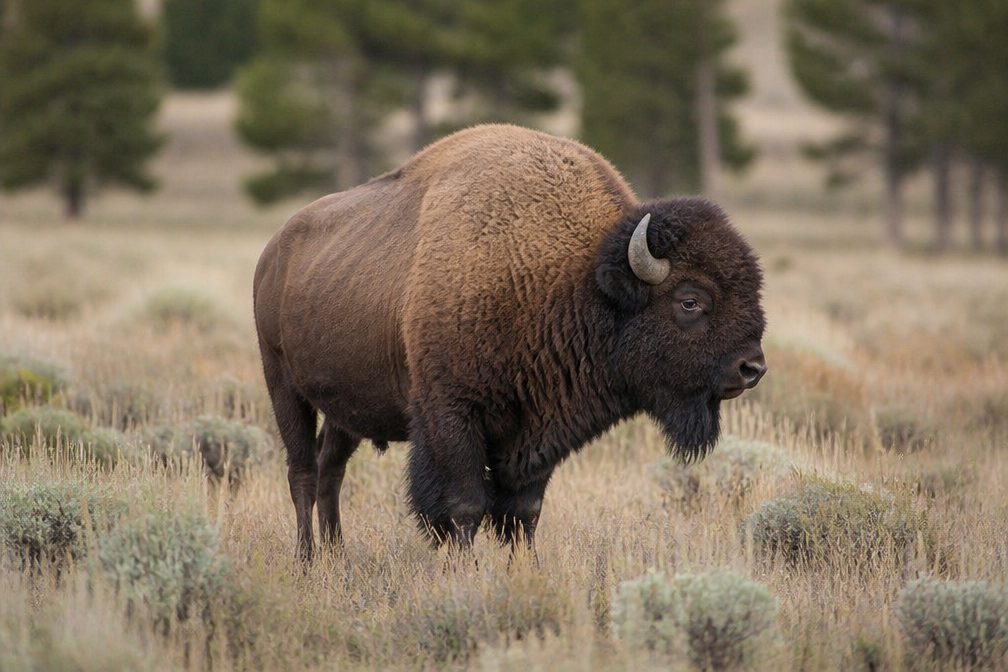 760 sightingsBisonMost seen around 6 PMSighting map
 1,064 sightingsBighorn SheepMost seen around 6 AMSighting map
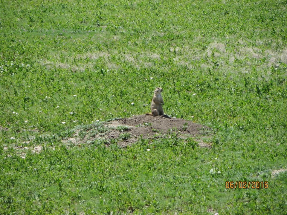
 908 sightingsPrairie DogMost seen around 5 PMSighting map
 333 sightingsPronghornMost seen around 6 AMSighting map
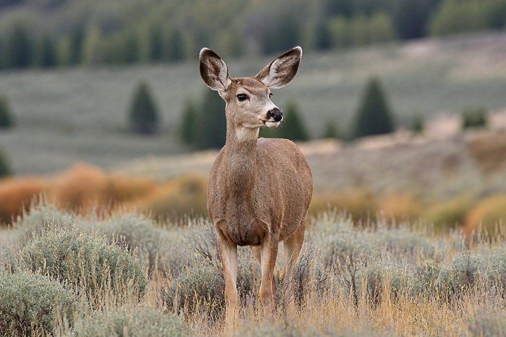 305 sightingsMule DeerMost seen around 7 PMSighting map
 88 sightingsCoyoteMost seen around 7 PMSighting map
Sighting maps show where each species has been reported across Badlands. Wildlife moves, so no sighting is guaranteed.