Parking
Use the designated Saddle Pass Trailhead parking area off Badlands Loop Road (SD-240). An information kiosk is at the access.
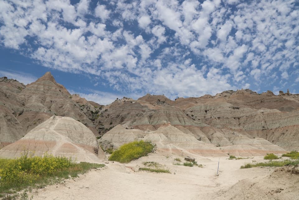
#4 of 11 trails in Badlands
Badlands National Park, SD
Short, steep climb to a broad White River Valley view.
Overview
Map & elevation
Plan your hike

The highest, rockiest slopes around here are a summer buffet for grizzly bears.
Badlands Tour Guide
Parkwolf is a GPS audio tour guide for Badlands National Park. As you drive, it chimes in with what’s ahead: hidden gems, upcoming stops, history, geology, and wildlife, right through your car’s speakers.
See the Badlands audio tourRecorded for this trailhead
Saddle Pass Trailhead“You're coming up on Saddle Pass Trailhead, the start of a short but strenuous climb to a White River Valley view.”
Plays as you drive up to this trailhead in the Parkwolf Badlands Tour Guide.
More stories near here in the app
“We recently toured Badlands, Custer State Park, Mount Rushmore and more! We learned so much from this app as we toured each of these sites. The audio tours are worth the money.”


Trail guide
Saddle Pass is a 0.68-mile round-trip out-and-back from the trailhead on Badlands Loop Road. It begins with a short, nearly level approach, then climbs the Badlands Wall to a ridge overlooking the White River Valley. Allow about 40 minutes for the climb and return. The mileage is small; the grade is not.
The steep pitch begins after roughly the first tenth of a mile. The path winds between pale, eroded mounds, then eases onto the ridge. At the top it meets Castle and Medicine Root trails. If Saddle Pass is your goal, turn around at that junction and retrace the same route; continuing turns this short spur into a much longer hike. The main payoff is the open view across the White River Valley.
The tread is loose enough that the descent can feel harder than the climb. Published elevation figures disagree: terrain elevations put the rise near 200 feet, while the park lists about 300 feet. Treat either figure as approximate and expect a strenuous climb for such a short walk.
The ground can be treacherous during and after rain, and extreme heat can make the climb dangerous. Dogs aren’t allowed on park trails. Start at the Saddle Pass Trailhead parking area beside Badlands Loop Road (SD-240); an information kiosk is at the access. No water, food, or toilet was identified at the trailhead.
Wildlife
 760 sightingsBisonMost seen around 6 PMSighting map
 1,061 sightingsBighorn SheepMost seen around 6 AMSighting map
 906 sightingsPrairie DogMost seen around 5 PMSighting map
 333 sightingsPronghornMost seen around 6 AMSighting map
 304 sightingsMule DeerMost seen around 7 PMSighting map
 87 sightingsCoyoteMost seen around 7 PMSighting map
Sighting maps show where each species has been reported across Badlands. Wildlife moves, so no sighting is guaranteed.
Keep exploring
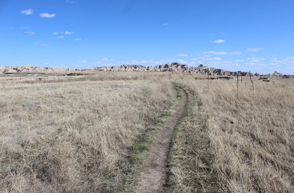 ModerateMedicine Root Loop Trail4.2 mi · 2.3 hr · 1.6 mi awayA rolling prairie loop with distant views of Badlands formations.
 EasyFossil Exhibit Trail0.3 mi · 20 min · 1.7 mi awayA quick, accessible loop with tactile fossil replicas and layered views.
 ModerateCliff Shelf Nature Trail0.5 mi · 30 min · 2.2 mi awayA quick loop pairs juniper shade with views across layered formations.
 ModerateNotch Trail1.3 mi · 1.8 hr · 2.3 mi awayA ladder climb earns a big look across the White River Valley.
 ModerateCastle Trail5.1 mi · 3 hr · 2.3 mi awayTrade quick overlooks for a full east-west walk through rock and prairie.
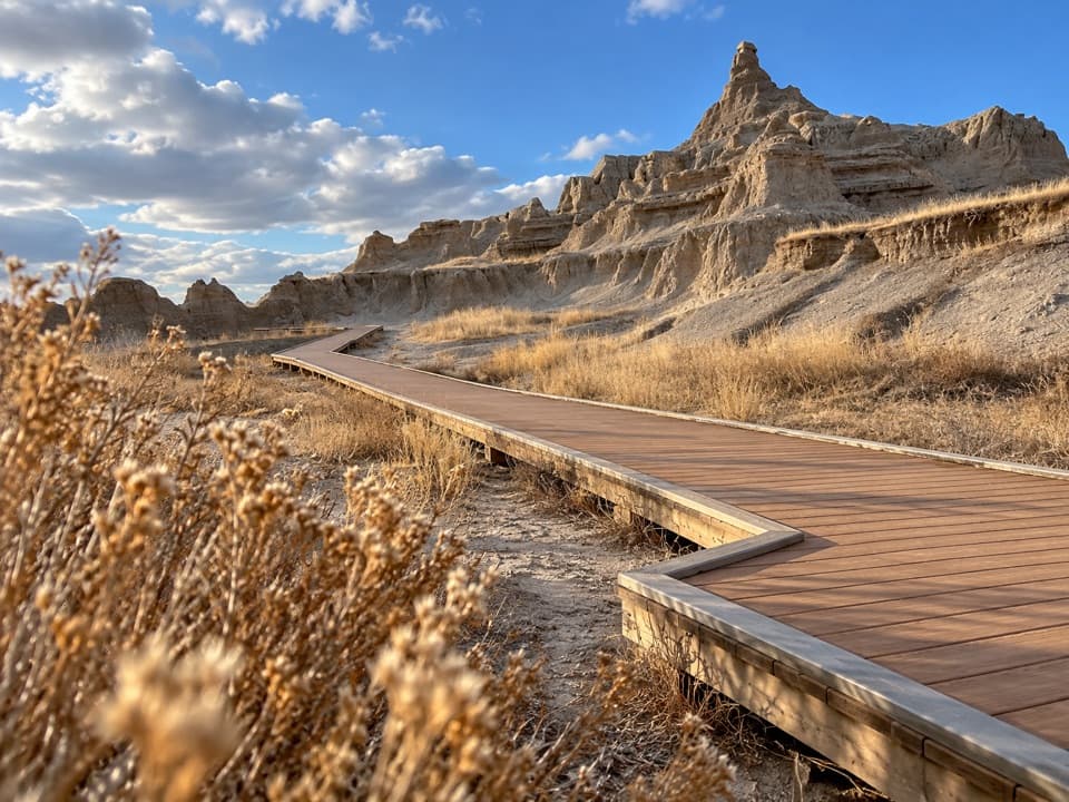 EasyWindow Trail0.3 mi · 20 min · 2.3 mi awayA short, accessible boardwalk to a window into an eroded canyon.
 EasyDoor Trail0.8 mi · 30 min · 2.4 mi awayBoardwalk through the Door, then a rough walk among eroded formations.
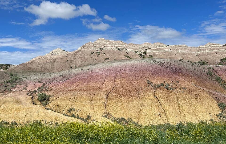 EasyYellow Mounds Overlook Trail0.1 mi · 18 min · 12.5 mi awayWalk a short path through yellow, purple, gray and red striped hills.
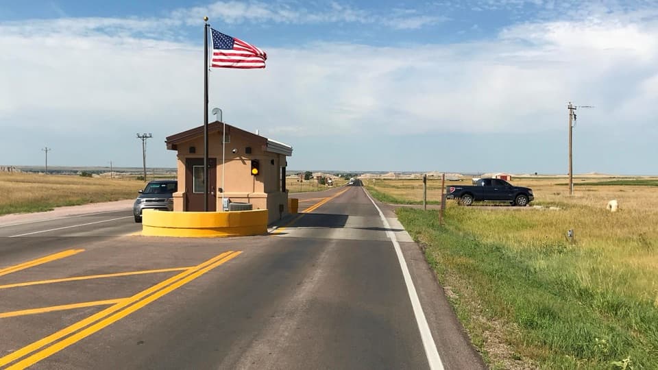 Entrance station · 1.4 mi awayInterior Entrance StationHandle park entry and pick up a map at the southern gate.
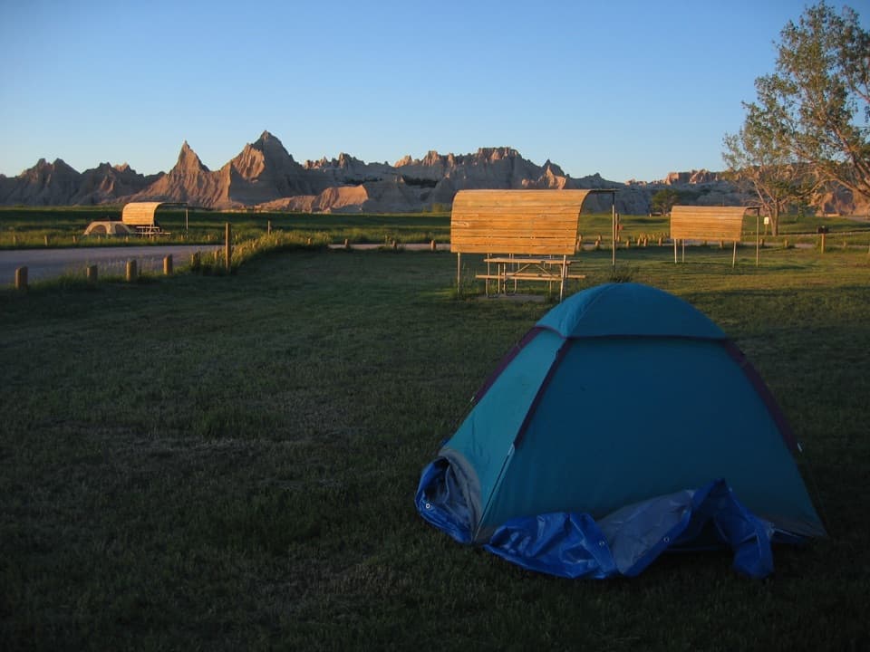 Campground · 1.6 mi awayCedar Pass CampgroundBadlands views, a walkable visitor center, and summer ranger programs.
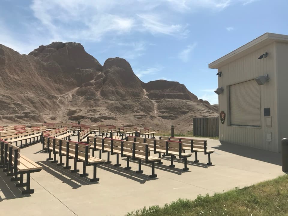 Sight · 1.6 mi awayCedar Pass AmphitheaterStay for a ranger-led night sky tour with a telescope.
 Lodging · 1.6 mi awayCedar Pass LodgeHistoric cabins make this the Badlands' only in-park stay.
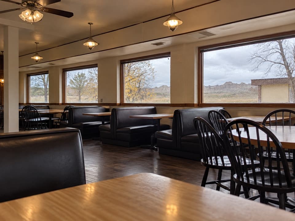 Restaurant · 1.6 mi awayWaysides at Cedar Pass LodgeA sit-down meal near the Ben Reifel Visitor Center.
 Visitor center · 1.8 mi awayBen Reifel Visitor CenterA strong first stop, especially when the fossil lab is working.
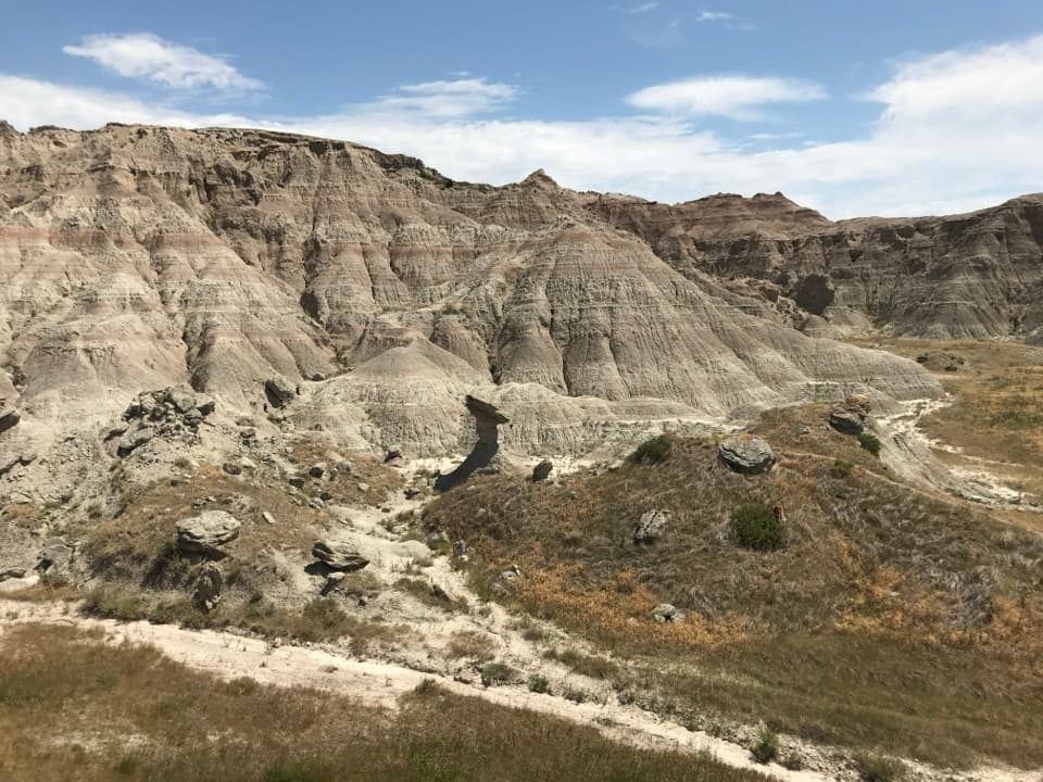 Sight · 1.8 mi awayToadstool RockA hard cap balances on a softer, eroding stone pillar.
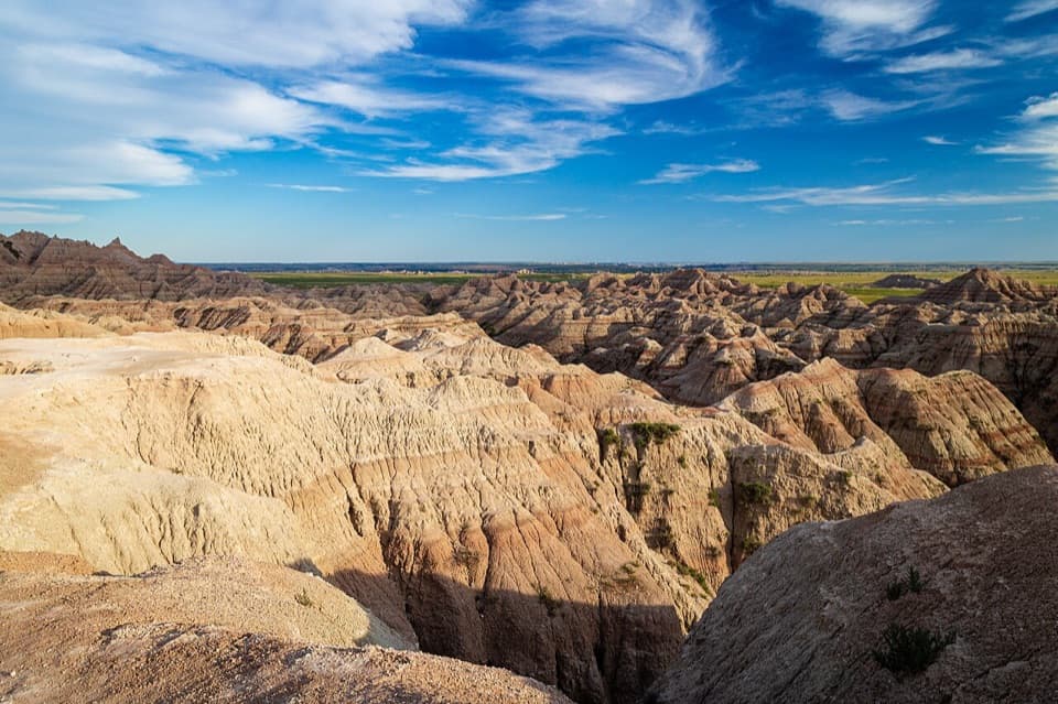 Sight · 3.6 mi awayWhite River Valley OverlookA quick pull-off to see layered badlands fall into the valley.
Parkwolf’s Badlands ranking

The audio tour guide for the drive, plus offline maps, trails, and wildlife heatmaps for when the signal drops.