Parking
Use the auto pull-off at Medicine Root Trailhead on Old Northeast Road; it puts you at the east loop junction. Starting from Castle or Saddle Pass changes the route and adds distance.
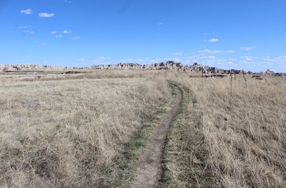
#8 of 11 trails in Badlands
Badlands National Park, SD
A rolling prairie loop with distant views of Badlands formations.
Overview
Map & elevation
Plan your hike

The highest, rockiest slopes around here are a summer buffet for grizzly bears.
Badlands Tour Guide
Parkwolf is a GPS audio tour guide for Badlands National Park. As you drive, it chimes in with what’s ahead: hidden gems, upcoming stops, history, geology, and wildlife, right through your car’s speakers.
See the Badlands audio tourRecorded for this trailhead
Medicine Root Trailhead“You're approaching Medicine Root Trailhead on Old Northeast Road, the start of a loop through rolling prairie.”
Plays as you drive up to this trailhead in the Parkwolf Badlands Tour Guide.
More stories near here in the app
“We recently toured Badlands, Custer State Park, Mount Rushmore and more! We learned so much from this app as we toured each of these sites. The audio tours are worth the money.”


Trail guide
Medicine Root Loop Trail is a 4.18-mile loop from the Medicine Root Trailhead pull-off on Old Northeast Road. It links the Medicine Root and Castle trails through rolling mixed-grass prairie, with Badlands formations in the distance. The park rates it moderate and estimates two hours. Choose it for a longer open-country walk; this is not a close-up climb onto the Badlands Wall.
From the pull-off, follow Castle Trail west to the Saddle Pass junction, then turn onto Medicine Root for the return east. That completes the circuit without taking the steep Saddle Pass Trail. Using Saddle Pass as an approach adds a climb and changes the route's distance, so leave it out if you want this 4.18-mile loop.
The route rolls through mixed-grass prairie, around low rises and past scattered cottonwoods. The formations stay across the landscape rather than right beside the tread. The grassland is home to butterflies, birds, rodents and snakes; keep your distance and give wildlife room.
Shade is sparse for most of the walk. The park recommends two quarts of water per person for a two-hour hike. Rain can leave muddy, slippery stretches, and tall summer grass can make the tread harder to pick out. Watch for cactus along the path.
The direct start is the auto pull-off at Medicine Root Trailhead on Old Northeast Road. The Castle and Saddle Pass approaches make different, longer versions of the walk. Pets are not allowed on park trails, and visitors must stay at least 100 feet from wildlife.
Wildlife
 760 sightingsBisonMost seen around 6 PMSighting map
 1,060 sightingsBighorn SheepMost seen around 6 AMSighting map
 904 sightingsPrairie DogMost seen around 5 PMSighting map
 333 sightingsPronghornMost seen around 6 AMSighting map
 304 sightingsMule DeerMost seen around 7 PMSighting map
 87 sightingsCoyoteMost seen around 7 PMSighting map
Sighting maps show where each species has been reported across Badlands. Wildlife moves, so no sighting is guaranteed.
Keep exploring
 ModerateCastle Trail5.1 mi · 3 hr · 0.9 mi awayTrade quick overlooks for a full east-west walk through rock and prairie.
 EasyDoor Trail0.8 mi · 30 min · 0.9 mi awayBoardwalk through the Door, then a rough walk among eroded formations.
 ModerateNotch Trail1.3 mi · 1.8 hr · 0.9 mi awayA ladder climb earns a big look across the White River Valley.
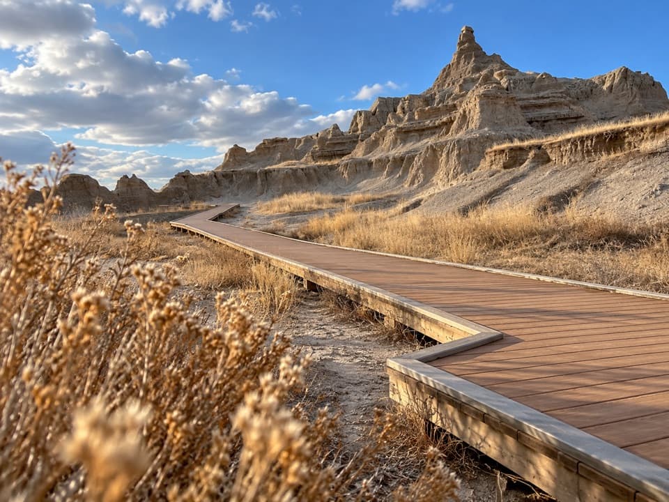 EasyWindow Trail0.3 mi · 20 min · 1 mi awayA short, accessible boardwalk to a window into an eroded canyon.
 ModerateCliff Shelf Nature Trail0.5 mi · 30 min · 1.3 mi awayA quick loop pairs juniper shade with views across layered formations.
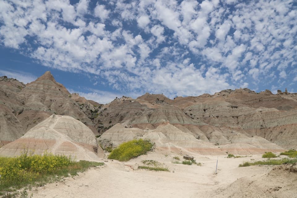 ChallengingSaddle Pass Trail0.7 mi · 40 min · 1.6 mi awayShort, steep climb to a broad White River Valley view.
 EasyFossil Exhibit Trail0.3 mi · 20 min · 2.9 mi awayA quick, accessible loop with tactile fossil replicas and layered views.
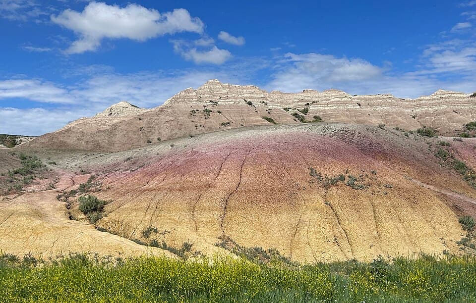 EasyYellow Mounds Overlook Trail0.1 mi · 18 min · 13.5 mi awayWalk a short path through yellow, purple, gray and red striped hills.
 Visitor center · 1.2 mi awayBen Reifel Visitor CenterA strong first stop, especially when the fossil lab is working.
 Lodging · 1.3 mi awayCedar Pass LodgeHistoric cabins make this the Badlands' only in-park stay.
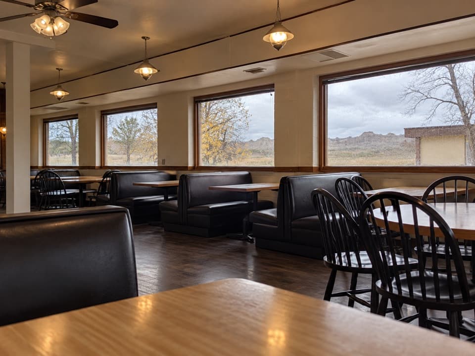 Restaurant · 1.3 mi awayWaysides at Cedar Pass LodgeA sit-down meal near the Ben Reifel Visitor Center.
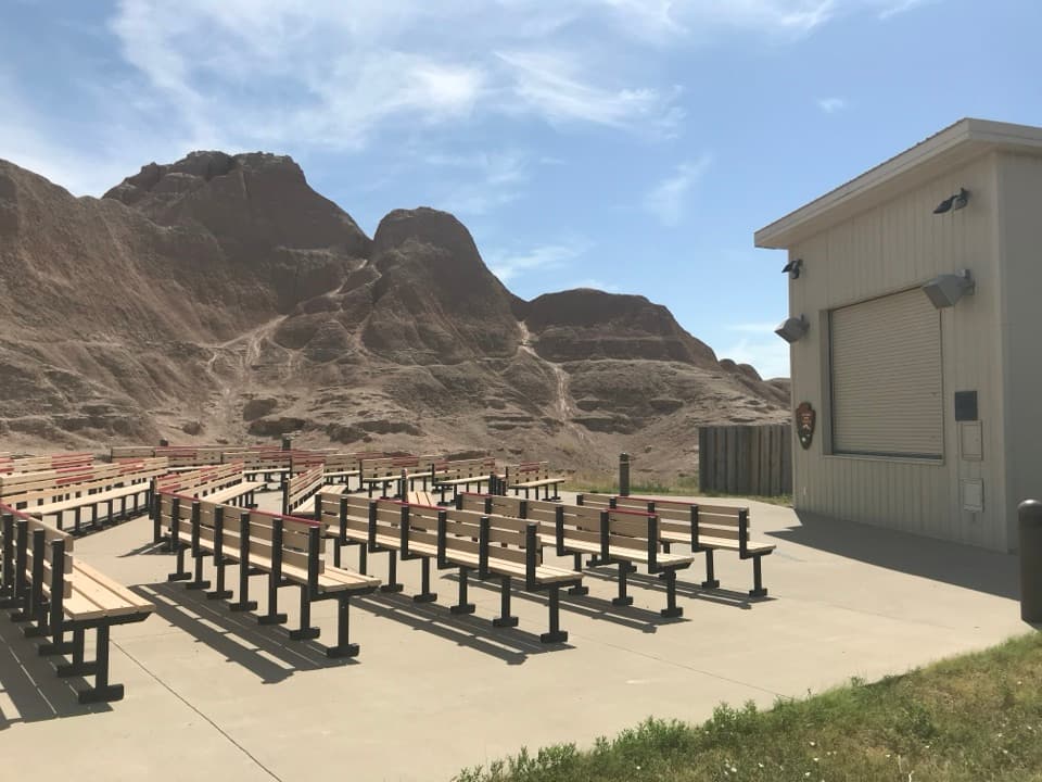 Sight · 1.3 mi awayCedar Pass AmphitheaterStay for a ranger-led night sky tour with a telescope.
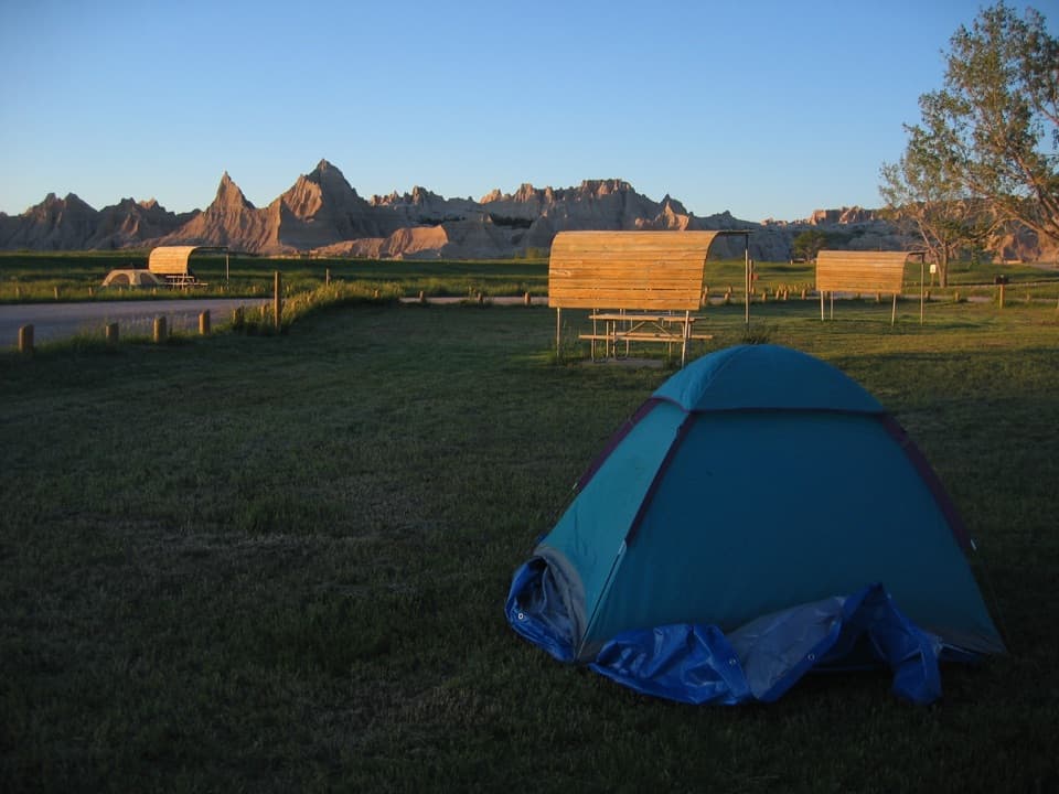 Campground · 1.6 mi awayCedar Pass CampgroundBadlands views, a walkable visitor center, and summer ranger programs.
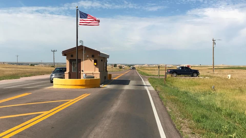 Entrance station · 1.7 mi awayInterior Entrance StationHandle park entry and pick up a map at the southern gate.
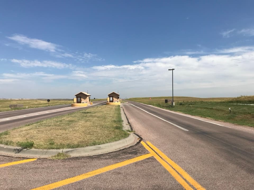 Entrance station · 2.6 mi awayNortheast Entrance StationMaps, permits, and a practical start at the northeast gate.
 Sight · 2.6 mi awayBig Badlands OverlookRed and gray bands make this a quick stop worth keeping.
Parkwolf’s Badlands ranking

The audio tour guide for the drive, plus offline maps, trails, and wildlife heatmaps for when the signal drops.