Best time to go
This is a seasonal campground, so check current opening and reservation arrangements before planning a stay.
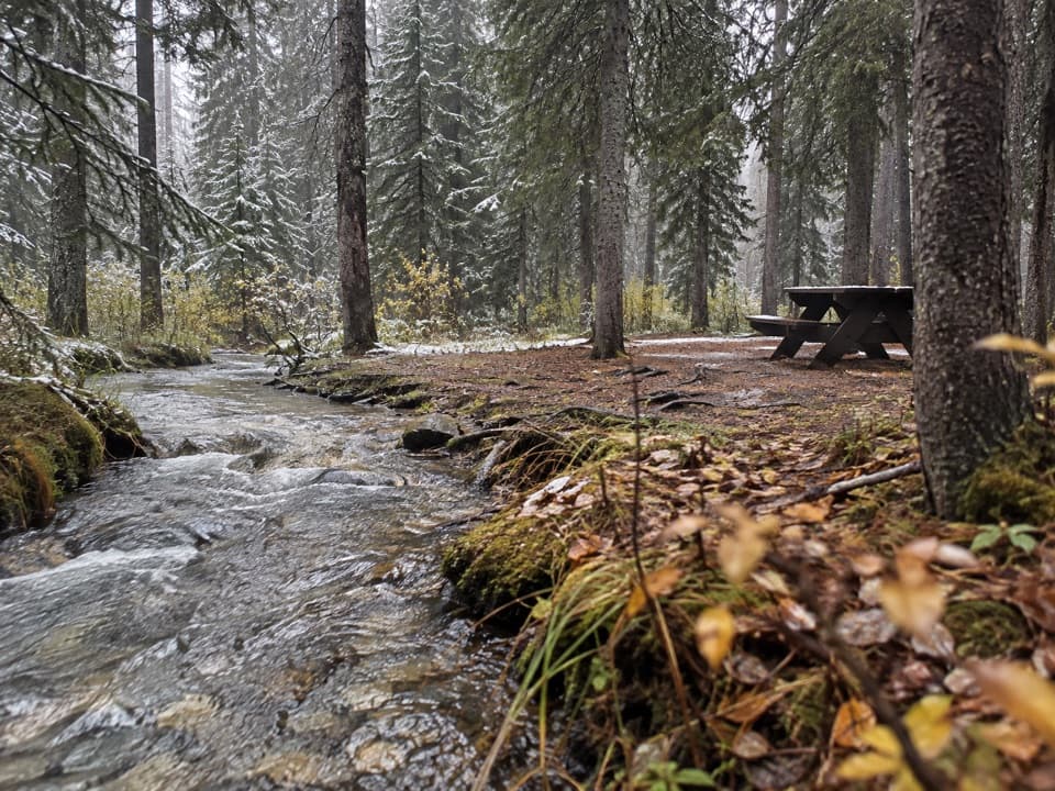
Campground · Banff National Park
A wooded, no-service base along the Bow Valley Parkway.
Overview
Map
Plan your stop

The highest, rockiest slopes around here are a summer buffet for grizzly bears.
Banff Tour Guide
Parkwolf is a GPS audio tour guide for Banff National Park. As you drive, it chimes in with what’s ahead: hidden gems, upcoming stops, history, geology, and wildlife, right through your car’s speakers.
See the Banff audio tourRecorded for this area
Silverton Falls or Rockbound Lake“You're approaching the Rockbound Lake trailhead, also the start for Silverton Falls. For a shorter outing, take the signed falls branch: about forty minutes round trip to water dropping through a narrow gorge.”
Plays on the road 0.3 km from Castle Mountain Campground in the Parkwolf Banff Tour Guide.
More stories near here in the app
“…Loved the commentary as you drove thru. I’m sure the app can do more than I know but the tips were very helpful. I’m gonna use it when we go to Banff next month.”


Guide
Castle Mountain is a small, unserviced campground on the Bow Valley Parkway (Hwy 1A), about 32 km from Banff. It suits tents and small RVs up to 7.3 m (24 ft) and is handy for Johnston Canyon and Silverton Falls. Choose it for a wooded overnight base, not a full-service stay.
The campground has drinking water, flush toilets, a cooking shelter, a picnic shelter, firepits and food lockers. Sites are unserviced, with no showers or electrical hookups. Each site allows up to two vehicles, two tents and six people unless otherwise specified. If accessible facilities are essential, verify the current setup before booking.
Sites sit among the trees on a one-way loop. Higher-numbered sites are often described as more tucked away, though spacing can feel close; train noise may carry into the night.
Wildlife
 123 sightingsGrizzly BearMost seen around 6 AMSighting map
 150 sightingsBrown BearMost seen around 6 PMSighting map
 44 sightingsGray WolfMost seen around 6 AMSighting map
 12 sightingsRiver OtterMost seen around 8 PMSighting map
 69 sightingsMooseMost seen around 8 PMSighting map
 466 sightingsBlack BearMost seen around 9 PMSighting map
Sighting maps show where each species has been reported across Banff. Wildlife moves, so no sighting is guaranteed.
Keep exploring
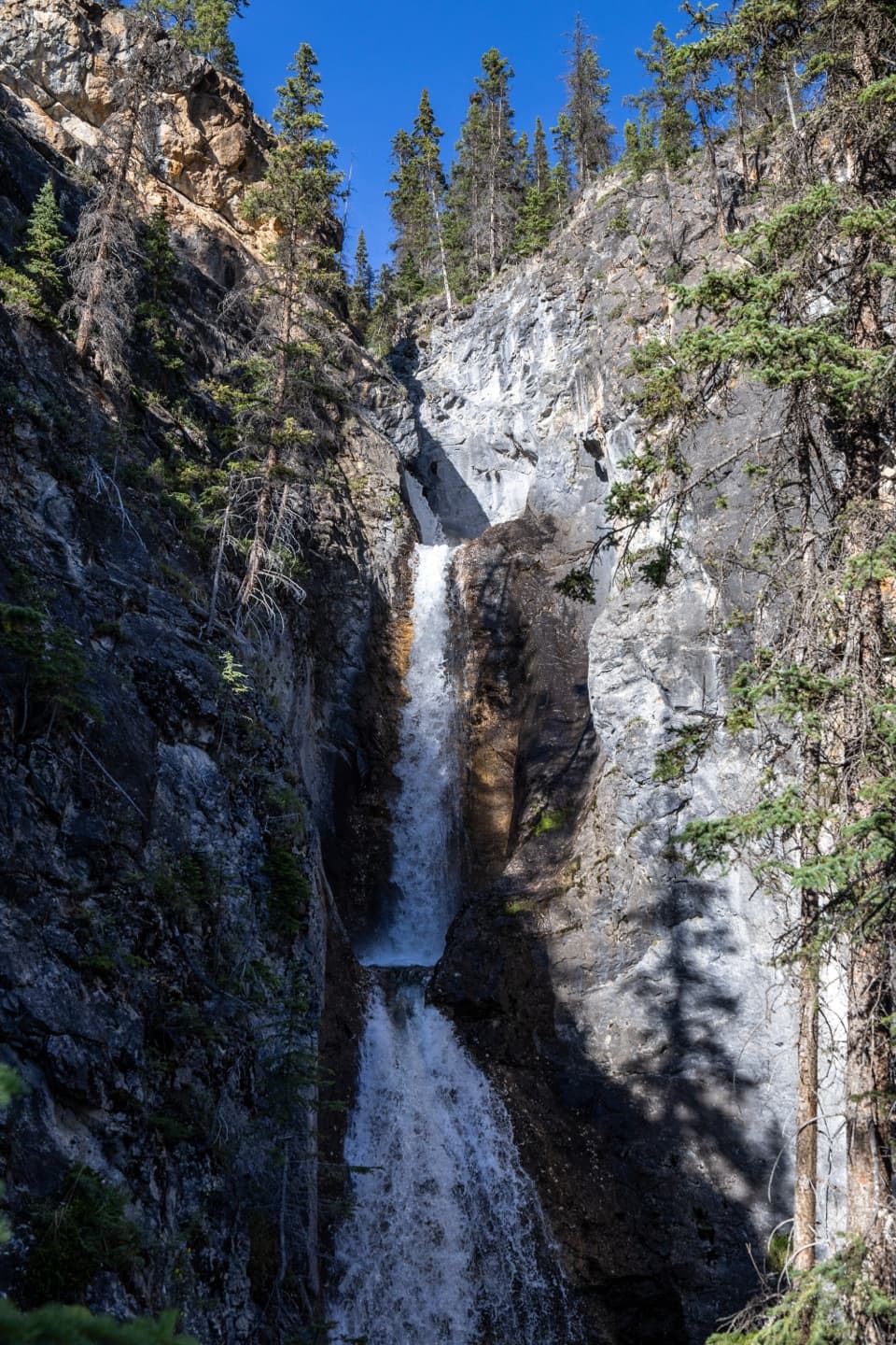 ModerateSilverton Falls Trail1.8 km · 40 min · 0.3 km awayA quick climb to a waterfall tucked into a narrow rock gorge.
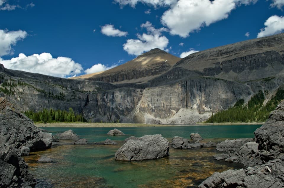 ChallengingRockbound Lake Trail17 km · 6.5 hr · 0.3 km awayTwo lakes and Castle Mountain cliffs reward a long alpine climb.
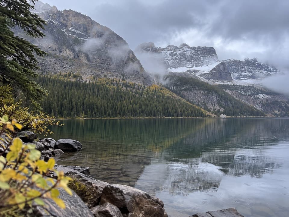 EasyCopper Lake Trail1.4 km · 30 min · 1.6 km awayA short forest path to clear water and a mountain backdrop.
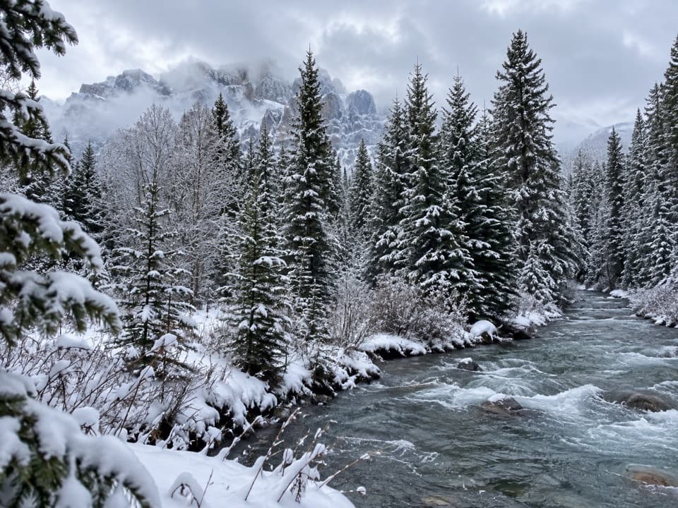 ChallengingTwin Lakes Trail from the Trans-Canada Highway17.1 km · 5.5 hr · 1.7 km awayA long forest climb to Lower Twin Lake from the highway.
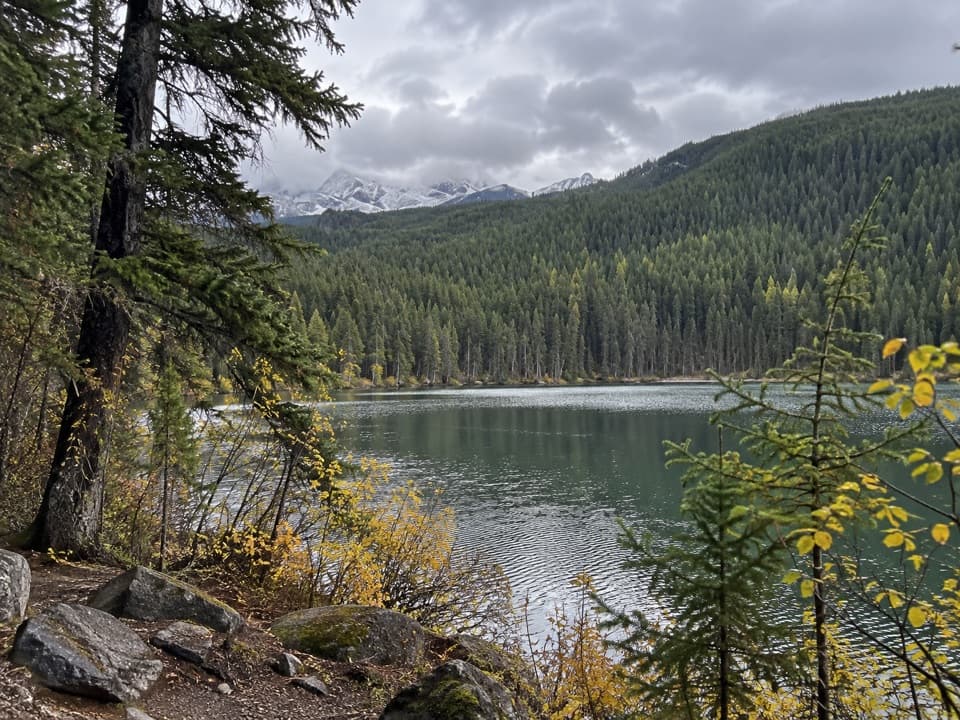 ModerateSmith Lake Trail3.2 km · 1.5 hr · 1.7 km awayA short forest climb to a tucked-away lake and ridge view.
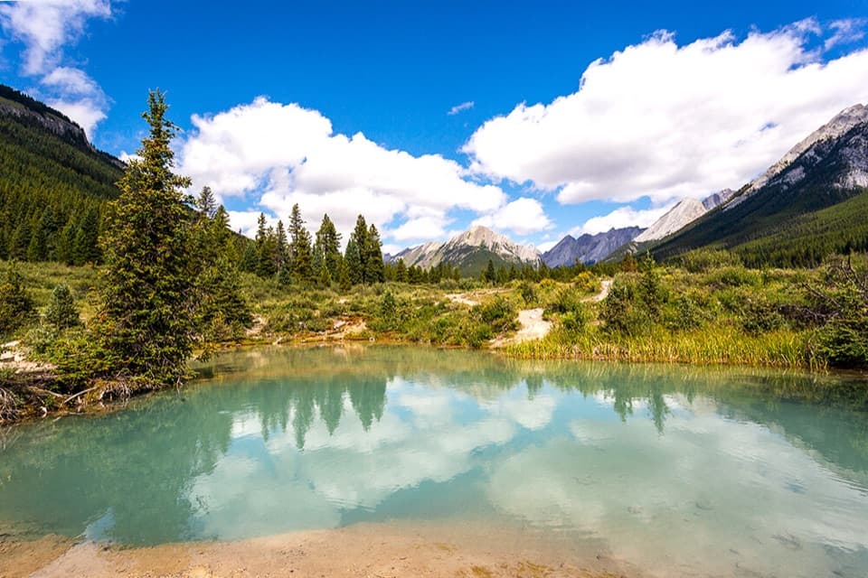 ModerateInk Pots Trail11.4 km · 4.5 hr · 4 km awayBlue-green pools in an open meadow after a long forest climb.
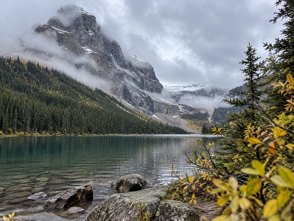 ChallengingLuellen Lake Trail34.2 km · 12 hr · 4 km awayA long forest and meadow walk ends at a lake beneath cliffs.
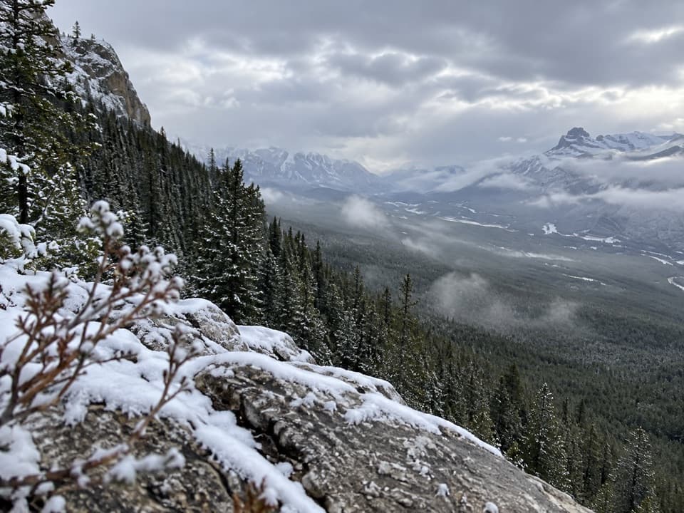 ModerateCastle Lookout Trail7.4 km · 3.5 hr · 5.2 km awayA steady climb to a vanished fire lookout above the Bow Valley
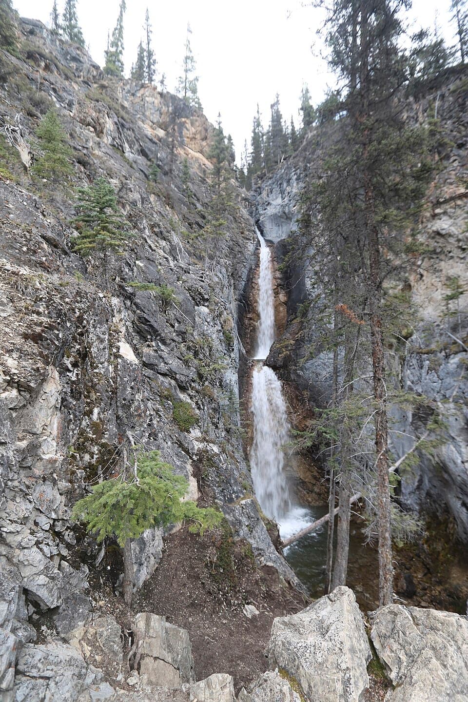 Sight · 0.6 km awaySilverton FallsShort waterfall spur with an exposed, rocky finish.
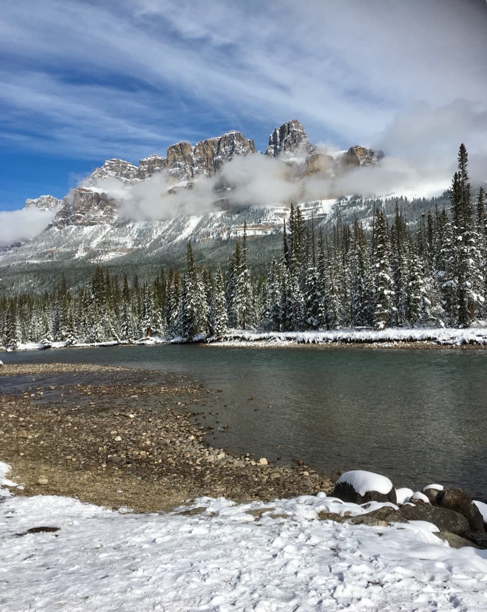 Scenic pullout · 1.1 km awayCastle Junction Bridge ViewpointA quick bridge stop for Bow River and Castle Mountain views.
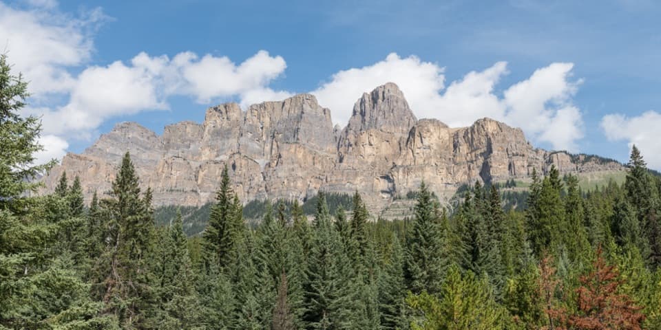 Sight · 1.4 km awayCastle Cliffs LookoutA short platform brings Castle Mountain's cliffs close.
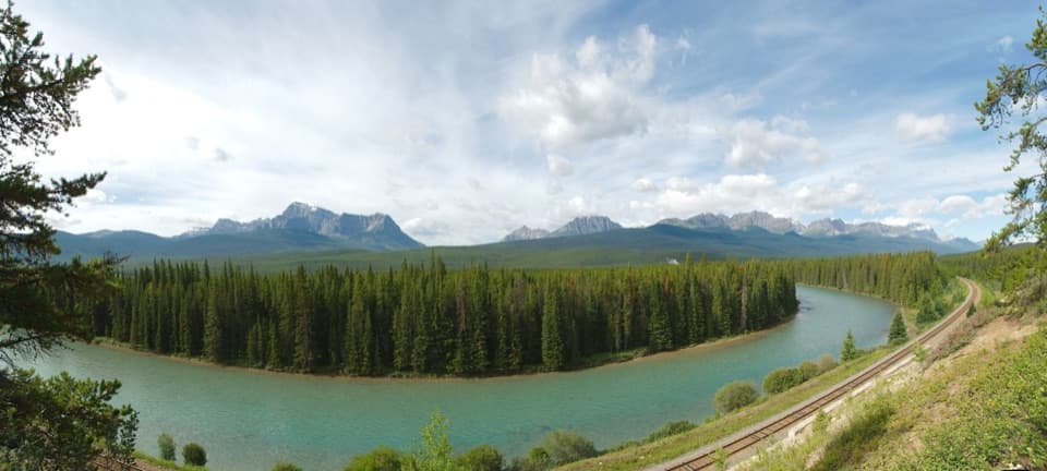 Sight · 2.8 km awayStorm Mountain LookoutA Bow River picnic break with a ridgeline to read.
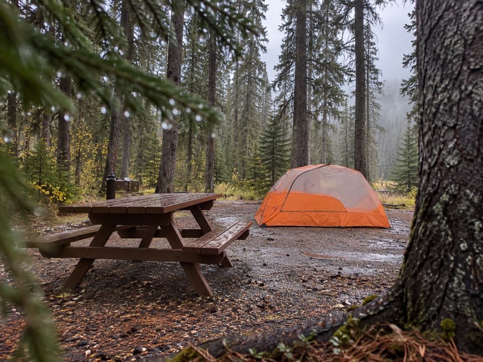 Campground · 5.5 km awayJohnston Canyon CampgroundCamp near Johnston Canyon, with train noise to consider.
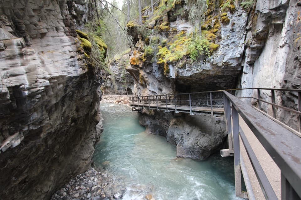 Sight · 5.5 km awayJohnston CanyonRailed catwalks lead to waterfalls in this steep, narrow canyon.
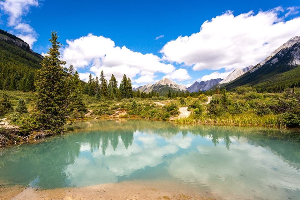 Sight · 6.2 km awayInk PotsCold blue-green springs reward the long walk beyond the waterfalls.
Parkwolf’s Banff ranking

The audio tour guide for the drive, plus offline maps, trails, and wildlife heatmaps for when the signal drops.