Parking
Park at the signed Smith Lake lot off Highway 93S near Castle Junction. The turn onto the access road is easy to miss. The trail begins across the creek bridge; the access road may be gated in winter, so check before driving in.
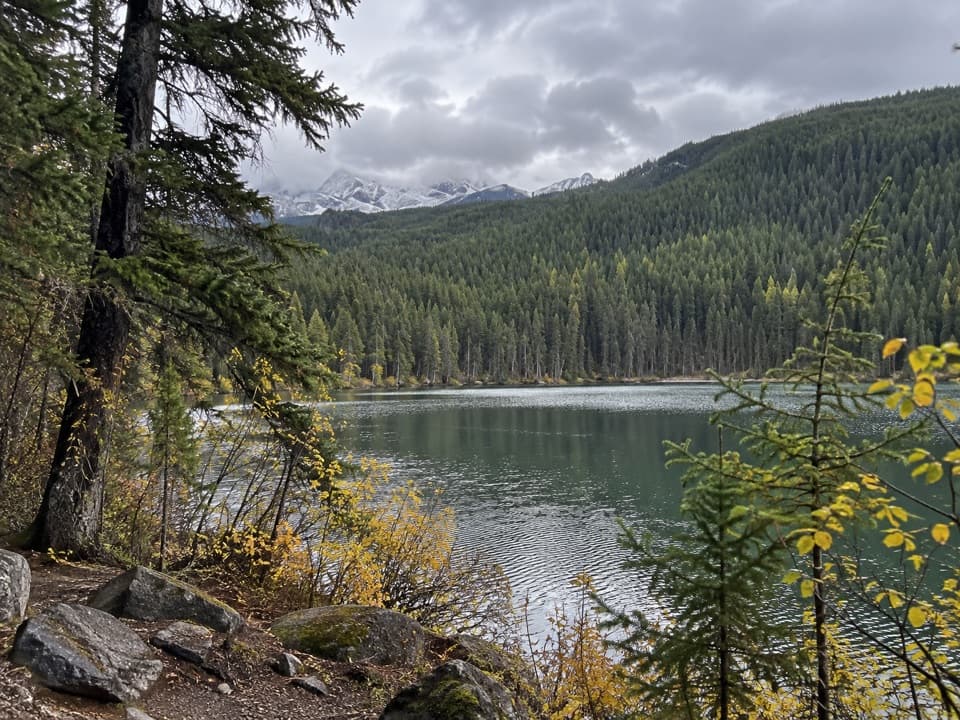
Banff National Park, AB
A short forest climb to a tucked-away lake and ridge view.
Overview
Map & elevation
Plan your hike

The highest, rockiest slopes around here are a summer buffet for grizzly bears.
Banff Tour Guide
Parkwolf is a GPS audio tour guide for Banff National Park. As you drive, it chimes in with what’s ahead: hidden gems, upcoming stops, history, geology, and wildlife, right through your car’s speakers.
See the Banff audio tourRecorded for this area
Castle Junction Bridge Viewpoint“You're coming up on Castle Junction Bridge Viewpoint, a quick stop for the Bow River beneath Castle Mountain. Allow ten or fifteen minutes if you want a mountain view without a hike.”
Plays on the road 0.7 km from the trailhead in the Parkwolf Banff Tour Guide.
More stories near here in the app
“…Loved the commentary as you drove thru. I’m sure the app can do more than I know but the tips were very helpful. I’m gonna use it when we go to Banff next month.”


Trail guide
Smith Lake Trail is a 2.0-mile out-and-back from the signed Smith Lake parking access near Castle Junction. It runs about 1.6 km each way through evergreen forest to a small, tree-lined lake, with a view from the ridge above it. Allow about 1½ hours. It is a good choice for a short forest hike with a lake at the end, though the last climb and drop make it feel harder than the mileage suggests.
Start across the creek bridge and follow the signed Smith Lake route at the forks. The shared approach also leads toward Copper Lake and Twin Lakes, so use the Smith Lake signs rather than relying on left-or-right directions. Small ponds on the way are not Smith Lake. The trail climbs over rocky, rooty ground, then opens at the ridge before descending to the shore. Skip the Copper Lake spur to keep this outing to the shorter Smith Lake route.
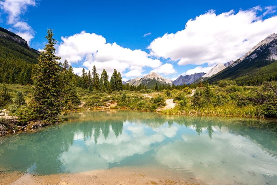
The ridge looks down to the lake, with Copper Mountain rising beyond the far hills. A small clearing reaches the tree-lined water; when the surface is still, it can reflect the surrounding forest. The final descent to shore is steep and can be slippery when wet. There is no food or water service on the trail, and no toilet was reported at the parking area. Dogs may accompany hikers on summer trails unless a restriction applies, and must stay leashed. The access road may be gated in winter, so check access before driving in.
Wildlife
 123 sightingsGrizzly BearMost seen around 6 AMSighting map
 150 sightingsBrown BearMost seen around 6 PMSighting map
 44 sightingsGray WolfMost seen around 6 AMSighting map
 12 sightingsRiver OtterMost seen around 8 PMSighting map
 69 sightingsMooseMost seen around 8 PMSighting map
 466 sightingsBlack BearMost seen around 9 PMSighting map
Sighting maps show where each species has been reported across Banff. Wildlife moves, so no sighting is guaranteed.
Keep exploring
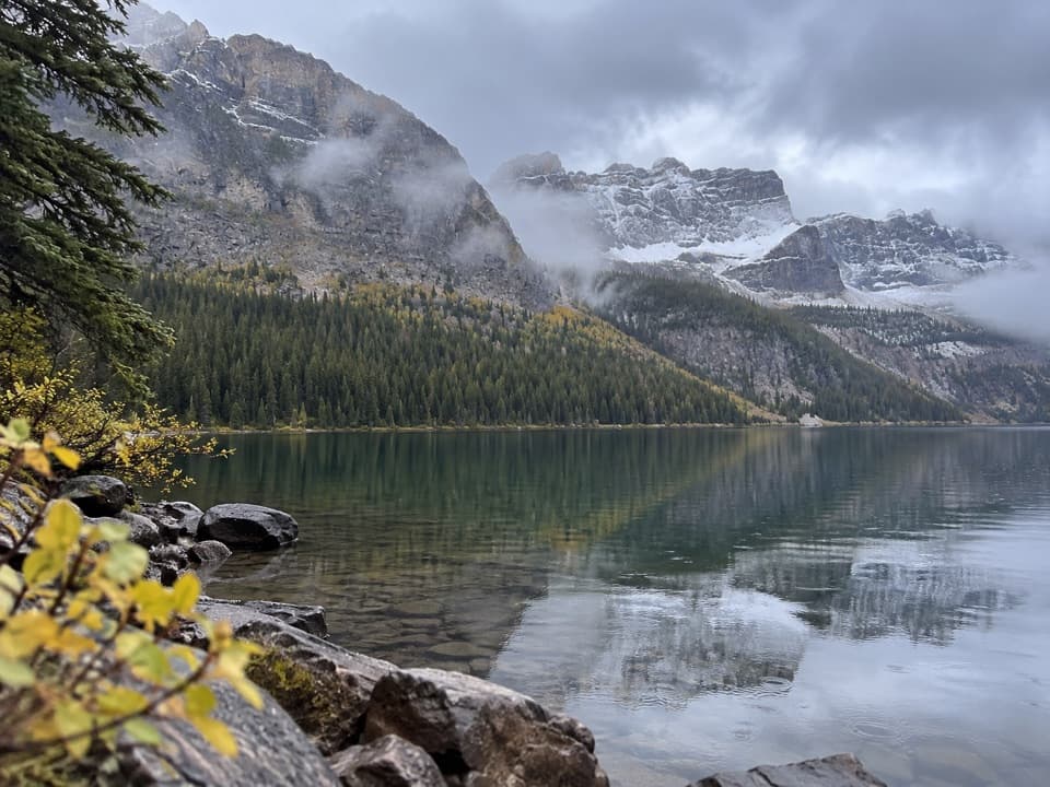 EasyCopper Lake Trail1.4 km · 30 min · 0.1 km awayA short forest path to clear water and a mountain backdrop.
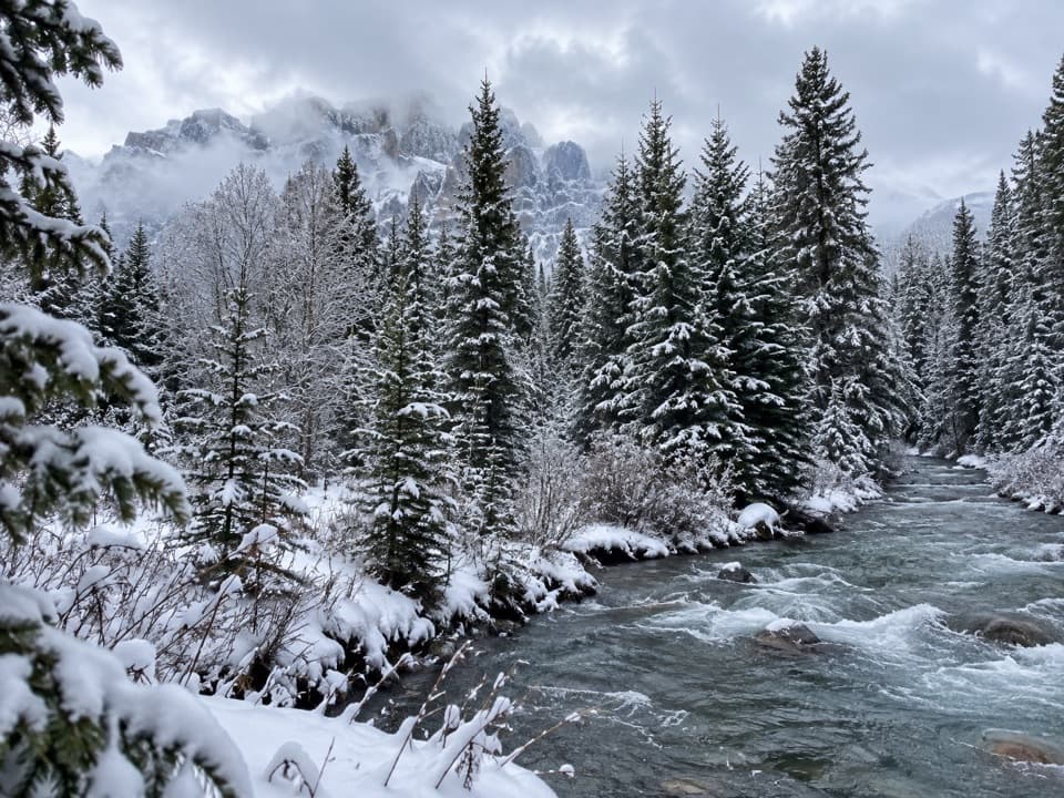 ChallengingTwin Lakes Trail from the Trans-Canada Highway17.1 km · 5.5 hr · 0.3 km awayA long forest climb to Lower Twin Lake from the highway.
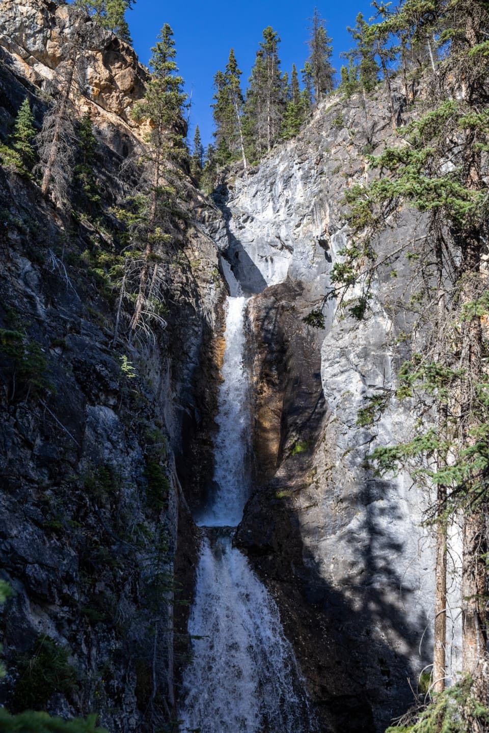 ModerateSilverton Falls Trail1.8 km · 40 min · 1.4 km awayA quick climb to a waterfall tucked into a narrow rock gorge.
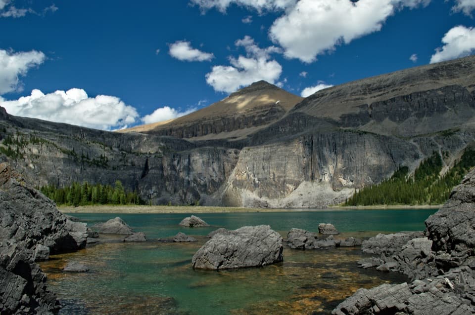 ChallengingRockbound Lake Trail17 km · 6.5 hr · 1.4 km awayTwo lakes and Castle Mountain cliffs reward a long alpine climb.
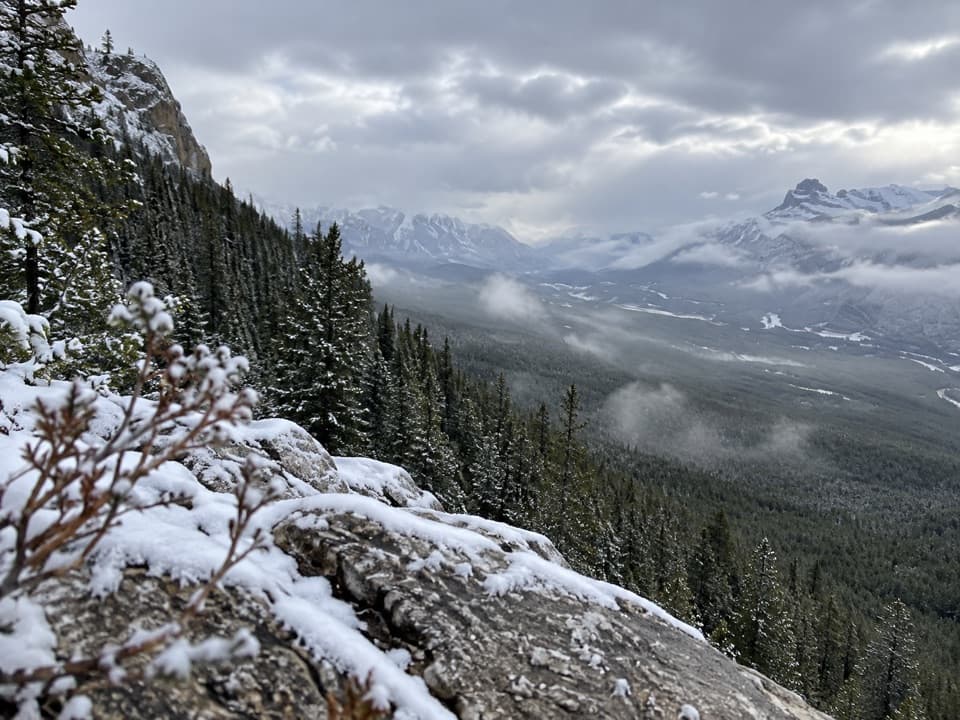 ModerateCastle Lookout Trail7.4 km · 3.5 hr · 4.6 km awayA steady climb to a vanished fire lookout above the Bow Valley
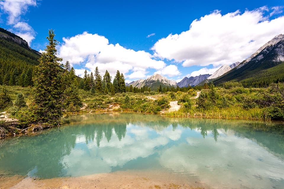 ModerateInk Pots Trail11.4 km · 4.5 hr · 5.3 km awayBlue-green pools in an open meadow after a long forest climb.
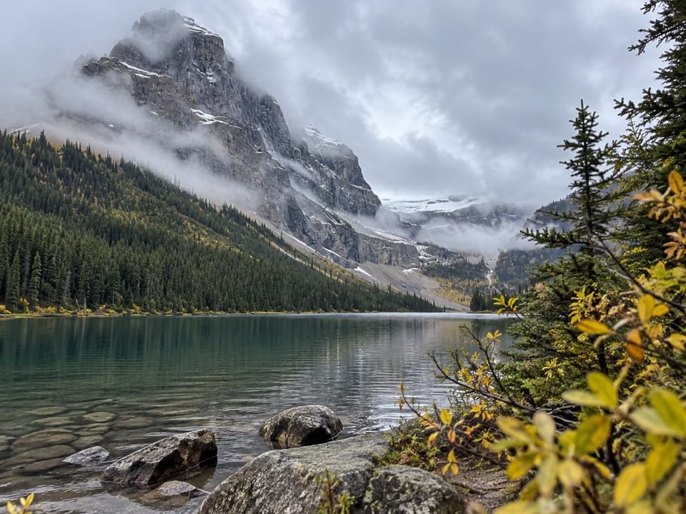 ChallengingLuellen Lake Trail34.2 km · 12 hr · 5.3 km awayA long forest and meadow walk ends at a lake beneath cliffs.
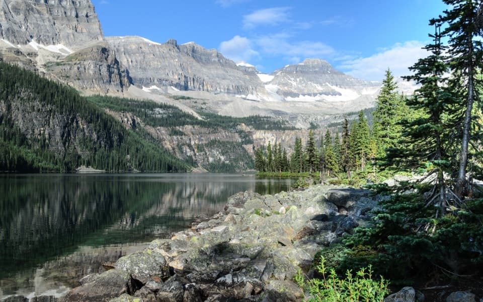 EasyBoom Lake Trail10.2 km · 3.5 hr · 6.5 km awayA long forest approach reaches a rocky alpine lake beneath cliffs.
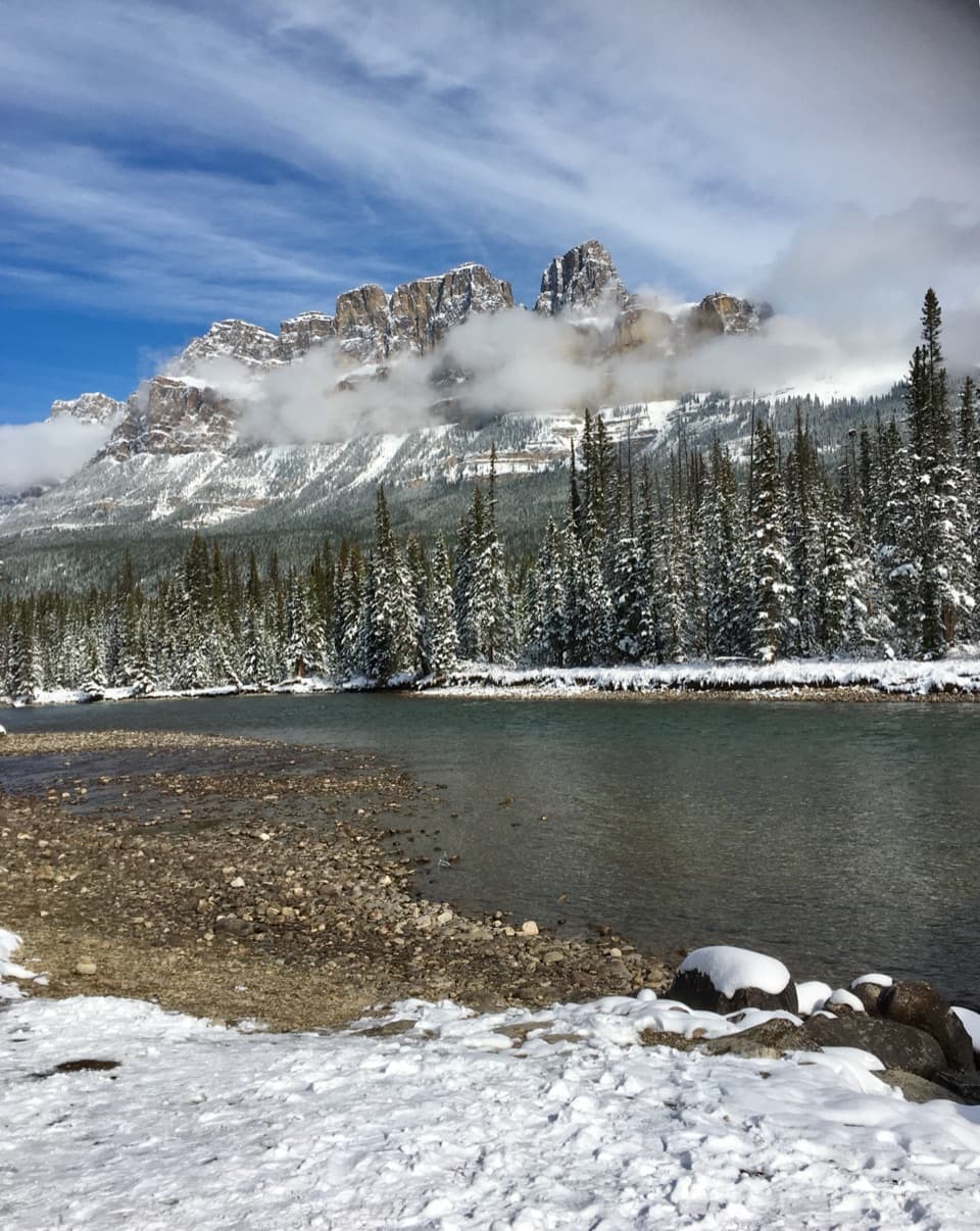 Scenic pullout · 0.7 km awayCastle Junction Bridge ViewpointA quick bridge stop for Bow River and Castle Mountain views.
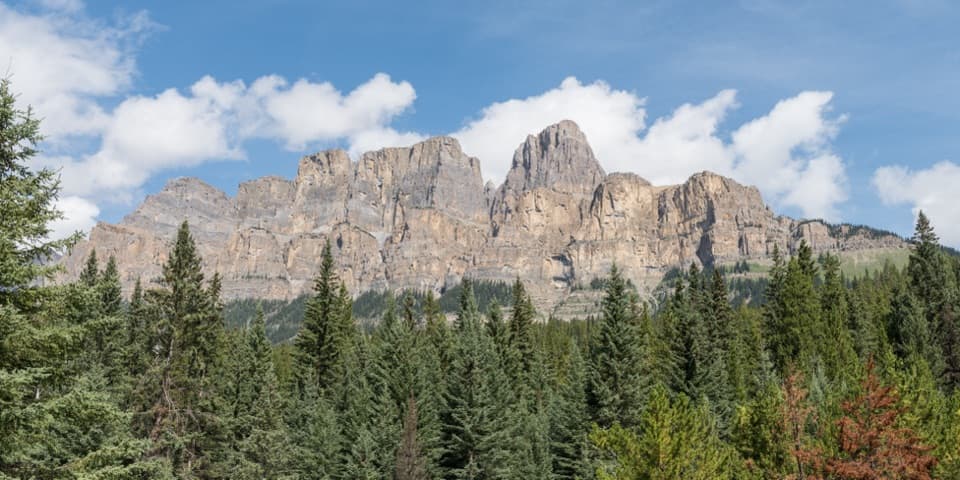 Sight · 1.5 km awayCastle Cliffs LookoutA short platform brings Castle Mountain's cliffs close.
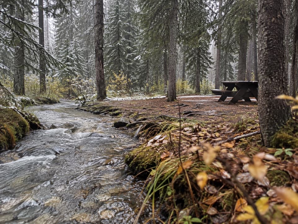 Campground · 1.7 km awayCastle Mountain CampgroundA wooded, no-service base along the Bow Valley Parkway.
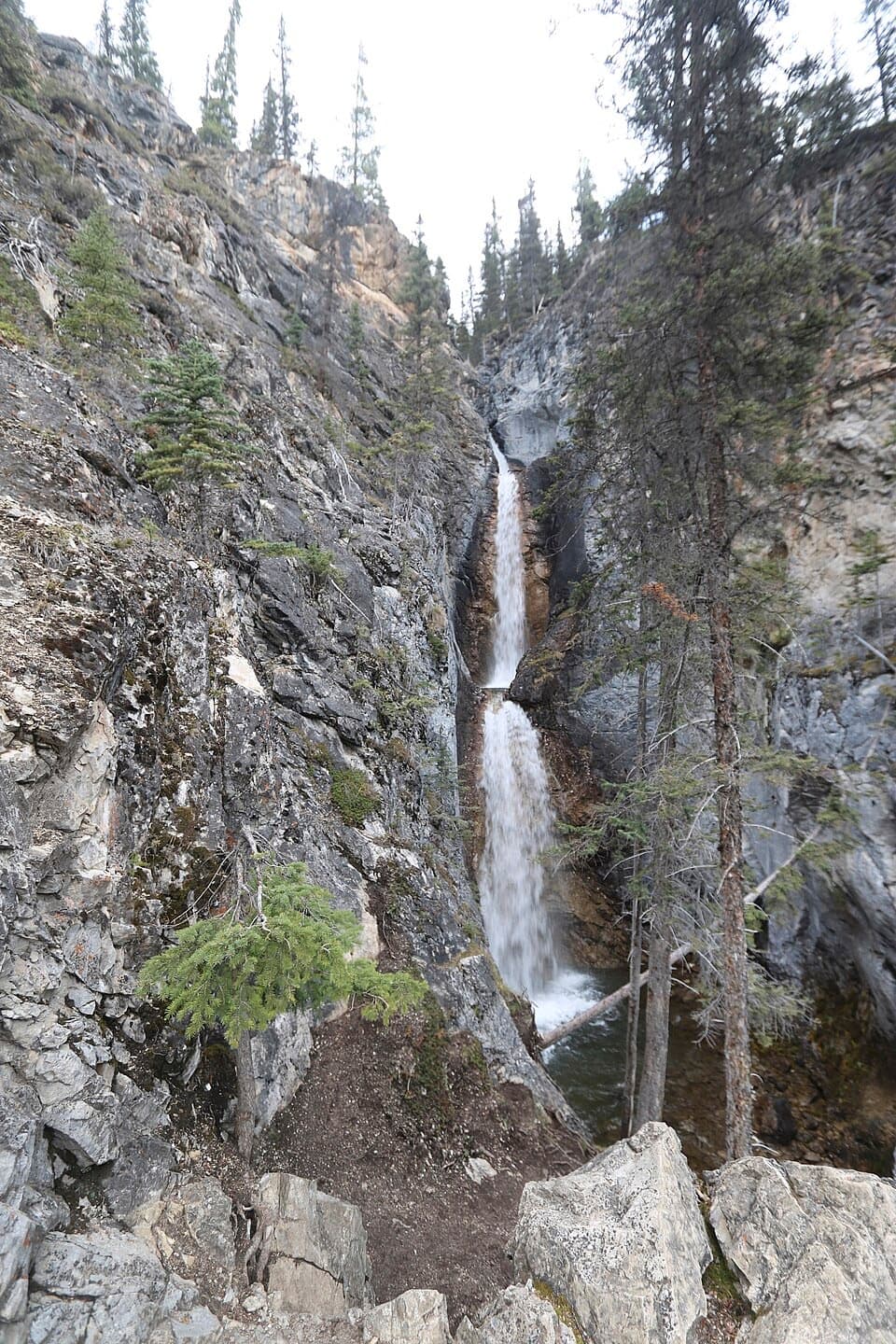 Sight · 2.2 km awaySilverton FallsShort waterfall spur with an exposed, rocky finish.
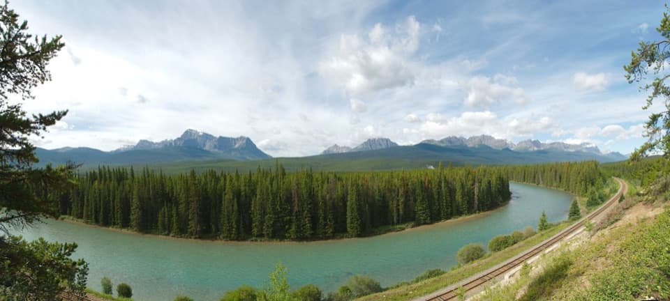 Sight · 2.5 km awayStorm Mountain LookoutA Bow River picnic break with a ridgeline to read.
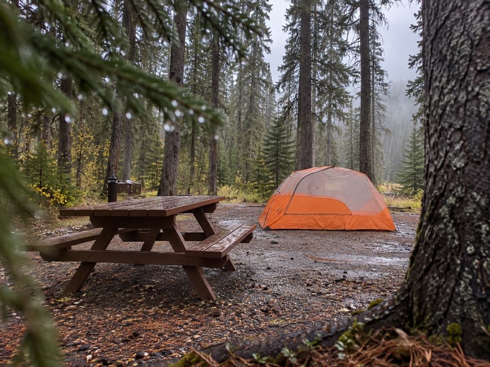 Campground · 6.6 km awayJohnston Canyon CampgroundCamp near Johnston Canyon, with train noise to consider.
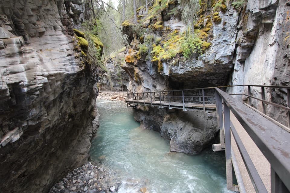 Sight · 6.6 km awayJohnston CanyonRailed catwalks lead to waterfalls in this steep, narrow canyon.
 Sight · 7.8 km awayInk PotsCold blue-green springs reward the long walk beyond the waterfalls.
Parkwolf’s Banff ranking

The audio tour guide for the drive, plus offline maps, trails, and wildlife heatmaps for when the signal drops.





