Overview
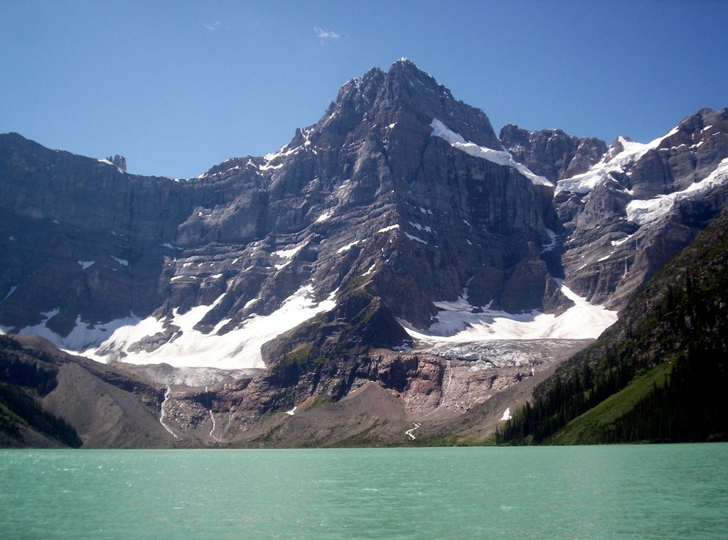
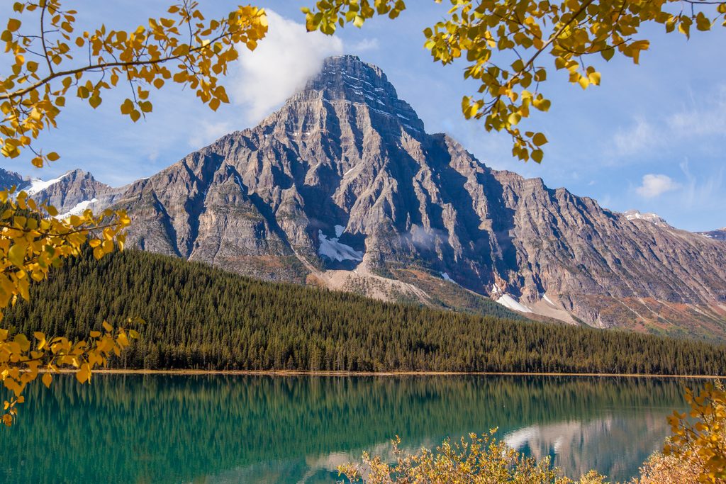
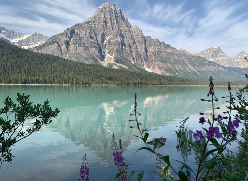
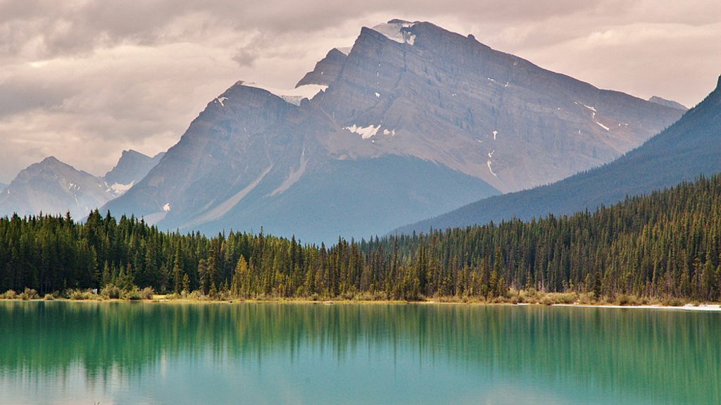
Mount Chephren (3,266 m) is that striking, pyramid‑shaped giant you spot along the Icefields Parkway, looming over the turquoise Waterfowl Lakes. Named for the Egyptian pharaoh Chephren (Khafre), its profile steals the show and makes it one of the most photogenic mountains in this stretch of the park.
What You'll See
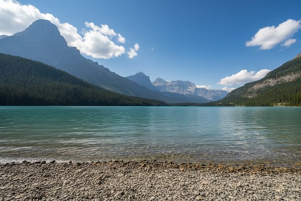
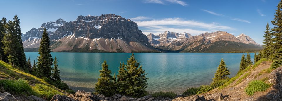
- Big‑screen scenery: dramatic rock walls, dense subalpine forest, and classic reflections of the peak on calm Waterfowl Lakes.
- Chephren Lake sits directly beneath the mountain’s imposing north face—an intimate, end‑of‑trail viewpoint that feels worlds away from the highway.
The Chephren Lake Hike
- Distance: about 4.1 km (one way) through forest to the lake at the base of the mountain.
- Expect mud—often—and lingering snow early season. Waterproof boots pay off.
- The trail is accessed from the Waterfowl Lakes area; there are no facilities along the trail or at the lake, so pack what you need.
Climbing Notes (for experienced parties)
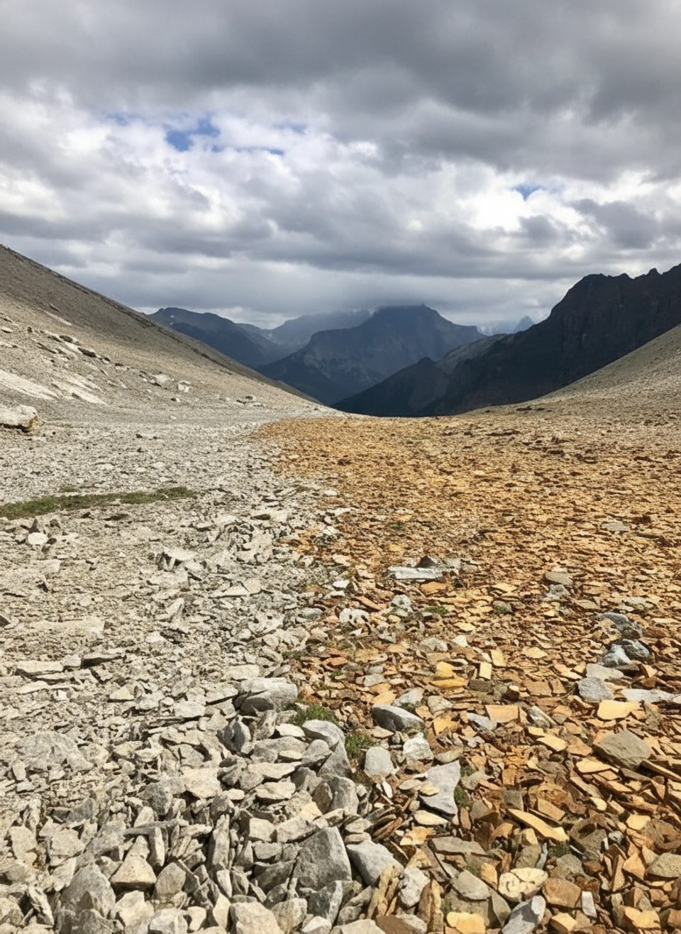
- Chephren is a serious mountaineering objective, not a casual summit. Reports describe a steep, shaded chimney/gully that can stay icy and delicate even outside winter; an ice axe has been useful for clearing thin ice before continuing onto higher scree.
- From high on the mountain, views sweep across the Mistaya/Howse region and span multiple icefields—memorably vast if you have the skills to get there.
Wildlife
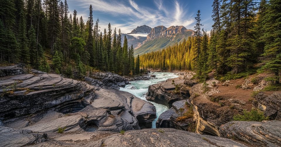
You’re in the Mistaya River Valley—“Mistaya” comes from a Cree word for grizzly. This corridor is known for bears, with potential to see black bears, elk, deer, and plenty of birdlife. Carry bear spray and know how to use it.
Logistics and Amenities
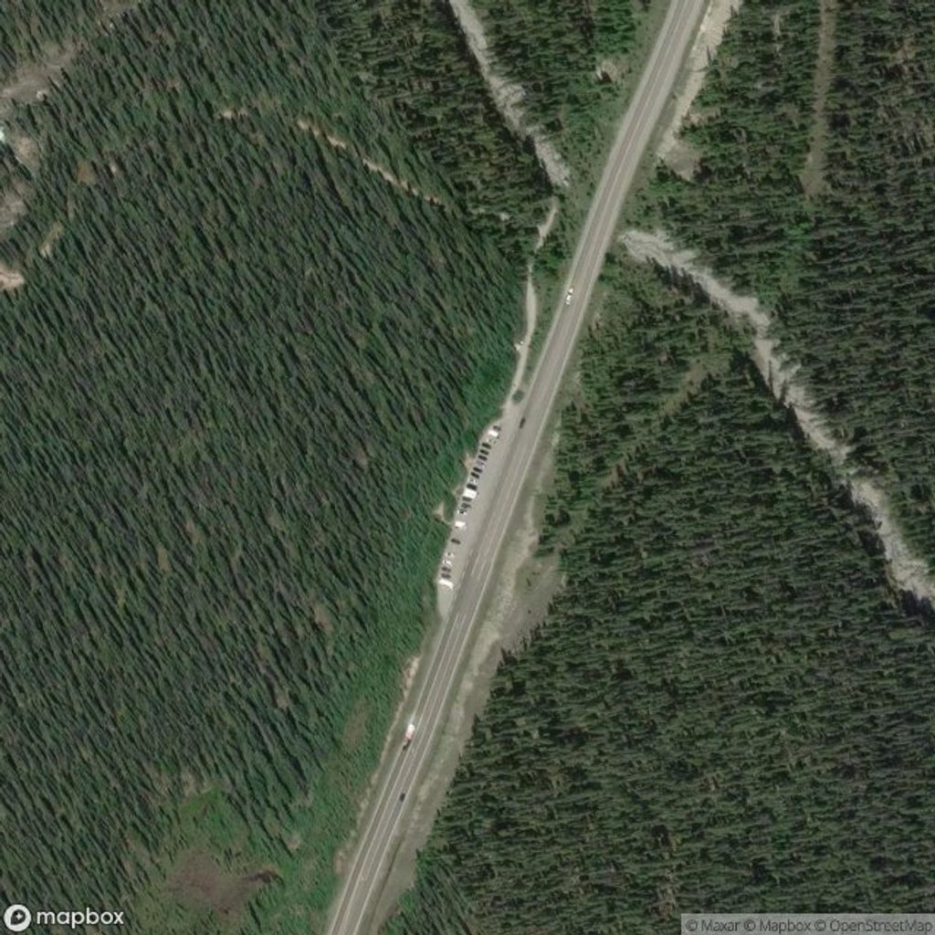
- Base access is via the Waterfowl Lakes area along the Icefields Parkway. The campground here serves as the jumping‑off point for the Chephren Lake trail.
- Amenities are centered at Waterfowl Lakes Campground (seasonal), including parking, restrooms, water, and picnic tables. There are no services on the trail or at Chephren Lake, and cell service is limited—come self‑sufficient.
Winter Option
In winter, photographers have reached Chephren Lake by snowshoeing up the creek from the Mistaya River. It’s gorgeous, but plan for cold, variable conditions and typical winter hazards near flowing water.
Best Time to Visit
- June to October is the sweet spot for hiking, though snow can linger into June (sometimes even July). Expect mud after rain.
- Winter can be a beautiful snowshoe outing for views and photography if you’re prepared.
Tips
- Bring bear spray and practice bear safety; this is prime bear country.
- Wear sturdy, waterproof boots—the Chephren Lake trail is frequently muddy.
- Check trail and seasonal campground status before you go and pack your own food and water.
- In winter, plan on snowshoes for the approach to Chephren Lake.
- Mountaineers: be ready for icy, shaded gully conditions; an ice axe can be useful.