
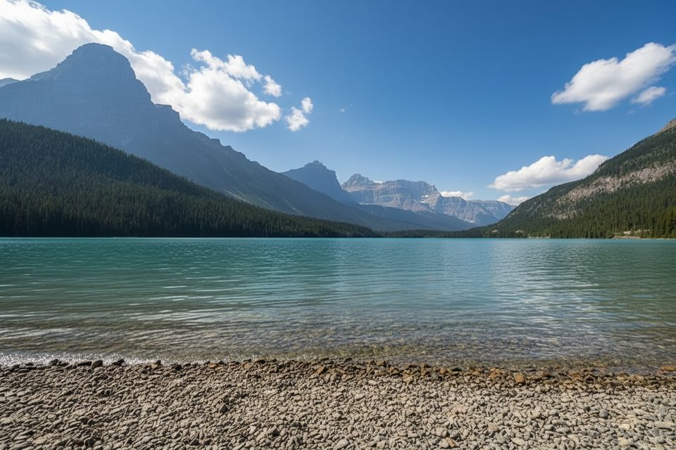
Place · 0.6 mi away
Easy
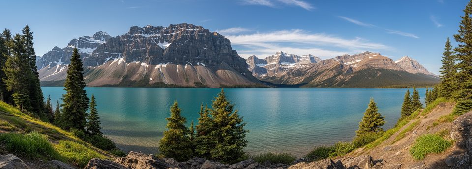
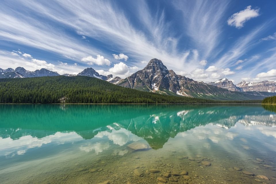
If you want high-reward scenery for almost no effort, this short shoreline walk delivers: glassy turquoise water, wildflowers in mid‑summer, and a head-on view of Mount Chephren towering over Upper Waterfowl Lake. It’s more of a leg-stretcher than a true hike, but the photo payoff is legit.
Starting from Waterfowl Lakes Campground just off the Icefields Parkway, the path dips through woods to the river between Upper and Lower Waterfowl Lakes where several trails converge. From there, follow the easy lakeshore to reach open views on Upper Waterfowl Lake. Expect a flat, wide, well‑maintained path and calm shoreline vibes. On still mornings and evenings, the water mirrors Chephren—prime time for photos. Total distance is about 1.1 miles round‑trip (1.8 km), and most folks are done in roughly 30 minutes.
This short network connects to bigger objectives: cross the bridge toward Chephren Lake or Cirque Lake if you want to turn a quick stroll into a proper hike. Prefer a super fast photo stop? There’s also a brief south-end viewpoint spur off the parkway, but the shoreline from the campground gives the better on‑the‑water feel.
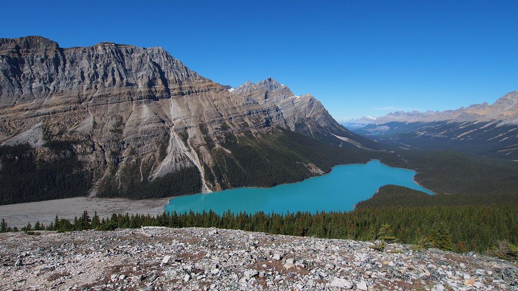
Upper Waterfowl Lake’s vivid color comes from glacial silt suspended in the water—classic Canadian Rockies chemistry. In mid‑summer, wildflowers dot the shore. Keep an eye out for birds (yes, ducks) along the edges and a generally peaceful, forested setting.
Great for families, casual walkers, and anyone chasing a postcard view without the climb. If you’re after mileage or solitude at midday in peak season, this won’t scratch the itch—use it as a warm‑up or tack-on before heading to Chephren or Cirque.
May–September is the sweet spot when trails are dry, lakes thawed, and flowers blooming. For reflections and fewer people, go early or late. Staying at the adjacent campground gives you first dibs on sunrise/sunset light. Note that the campground (and practical access to this shoreline route) is typically closed October–May.
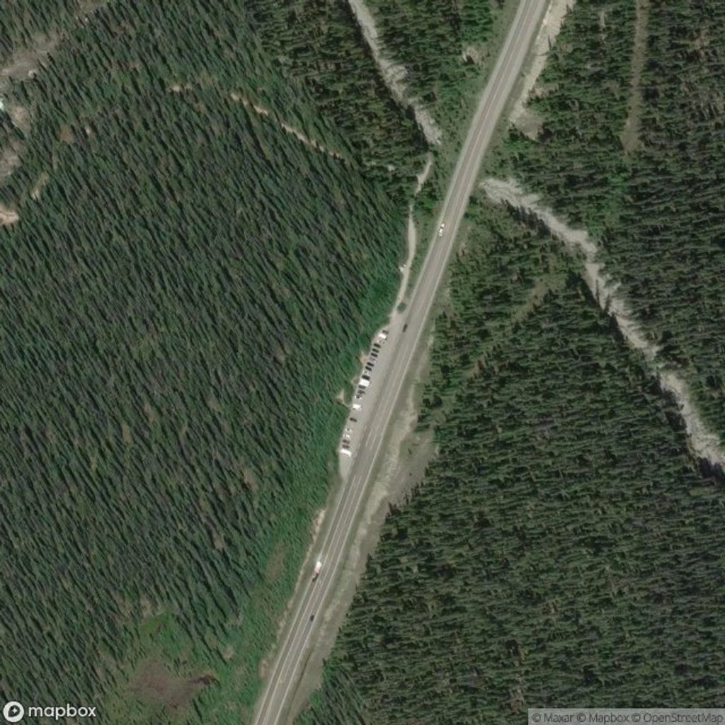
Park at the small dirt pullout near Waterfowl Lakes Campground off the Icefields Parkway (limited, fewer than 20 cars, with some parallel parking). From there, walk down through the woods toward the river between the lakes to reach the shoreline.
Campground access—and effectively this shoreline route—typically closes October–May. Junctions are shared with Chephren and Cirque trails; follow signs for Upper Waterfowl Lake. Natural surfaces and roots make it unsuitable for wheelchairs or most strollers.
Place · 0.6 mi away
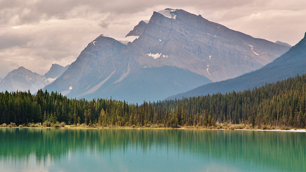
Place · 0.8 mi away
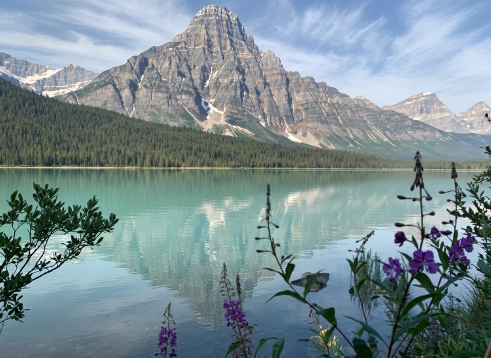
Place · 0.8 mi away
Place · 0.8 mi away
Easy · 8 mi away
Challenging · 8 mi away
Easy · 10.1 mi away
Easy · 10.2 mi away

Parkwolf Tour Guide
