Parking
Use the Mistaya Canyon parking area off the Icefields Parkway; the trail starts beside the lot. A national park entry pass is required on the Parkway.
Banff National Park, AB
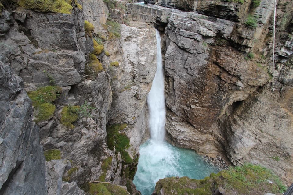
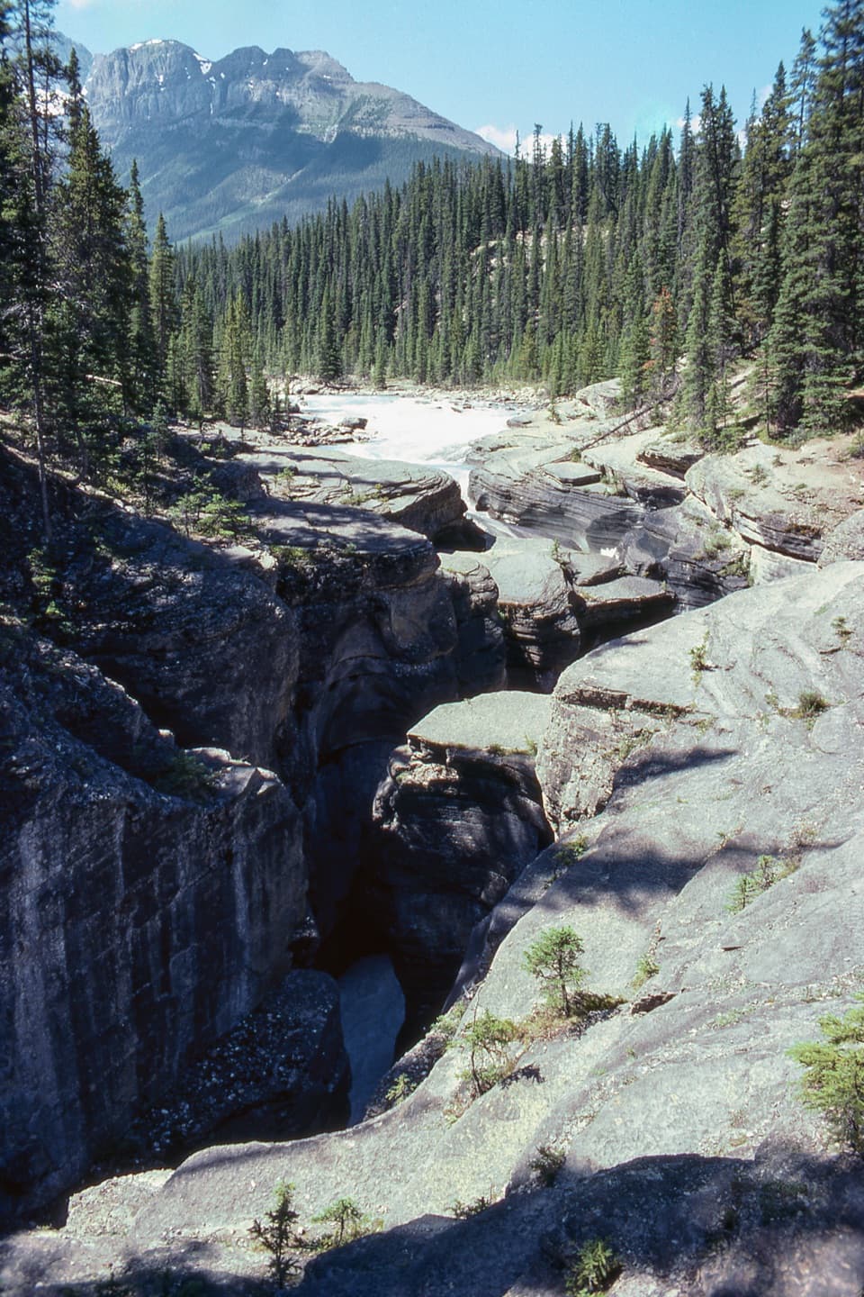
A short, steep drop to the bridge over a carved limestone gorge.
Overview
Map & elevation
Plan your hike

The highest, rockiest slopes around here are a summer buffet for grizzly bears.
Banff Tour Guide
Parkwolf is a GPS audio tour guide for Banff National Park. As you drive, it chimes in with what’s ahead: hidden gems, upcoming stops, history, geology, and wildlife, right through your car’s speakers.
See the Banff audio tourRecorded for this trailhead
Mistaya Canyon: A Bridge Above the Gorge“You're approaching the Mistaya Canyon trailhead, a short walk to a bridge above a winding limestone gorge.”
Plays as you drive up to this trailhead in the Parkwolf Banff Tour Guide.
More stories near here in the app
“…Loved the commentary as you drove thru. I’m sure the app can do more than I know but the tips were very helpful. I’m gonna use it when we go to Banff next month.”


Trail guide
The Mistaya Canyon Trail is about 0.6 miles round trip from the roadside parking area to and across the footbridge. It is a short out-and-back: the path drops briefly and steeply through trees to a view into a winding limestone gorge, with fast water below. Allow 20 to 30 minutes, including a pause on the bridge; the return climbs the same slope.
The bridge is the right turnaround for this short walk. Water has carved the limestone walls over thousands of years, and the zigzagging gorge is the reason to stop. Keep to the established path and bridge: Parks Canada says to stay off the rocks, and lower riverside paths are eroded and slippery. From the bridge, include a strip of river below the layered walls if you take a photo; do not scramble down for a different angle.
The trailhead is at the Mistaya Canyon parking area along the Icefields Parkway. Parks Canada lists the walk as summer-only, and a national park entry pass is required on the Parkway. Dogs are allowed on summer trails unless a specific restriction applies; keep them leashed and under control. A vault toilet is reported at the lot; no food or potable water service was found at the trailhead.
Wildlife
 123 sightingsGrizzly BearMost seen around 6 AMSighting map
 150 sightingsBrown BearMost seen around 6 PMSighting map
 44 sightingsGray WolfMost seen around 6 AMSighting map
 12 sightingsRiver OtterMost seen around 8 PMSighting map
 69 sightingsMooseMost seen around 8 PMSighting map
 466 sightingsBlack BearMost seen around 9 PMSighting map
Sighting maps show where each species has been reported across Banff. Wildlife moves, so no sighting is guaranteed.
Keep exploring
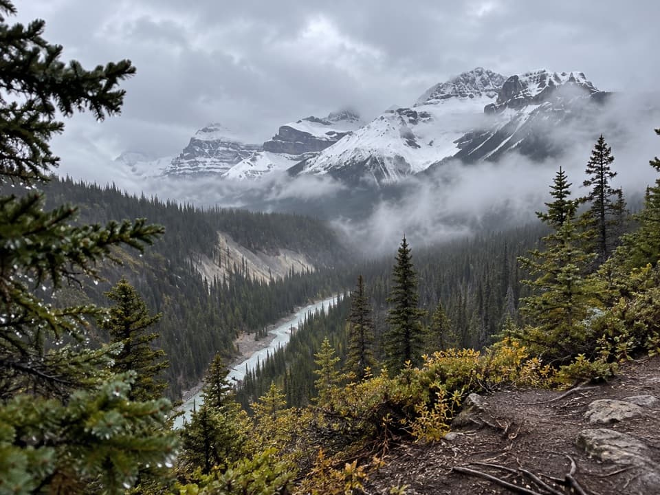 ChallengingSarbach Lookout Trail10.2 km · 4.5 hr · At the trailheadA steady forest climb ends at a rocky former lookout.
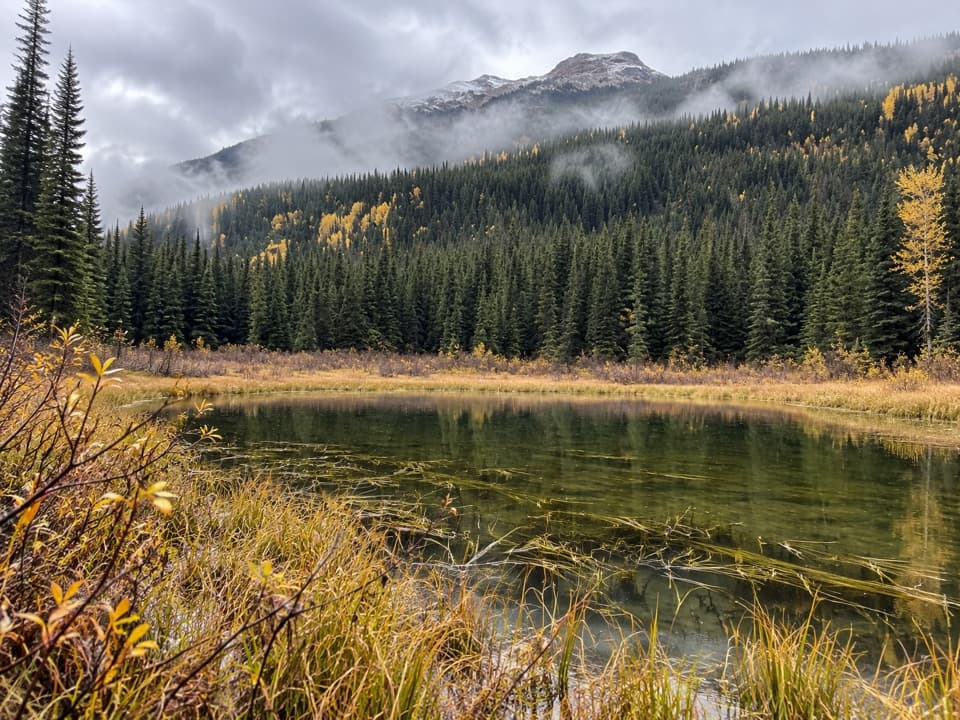 ChallengingHowse Pass Trail42.8 km · 20 hr · 3.5 km awayA remote divide crossing through river flats and nearly vanished trail.
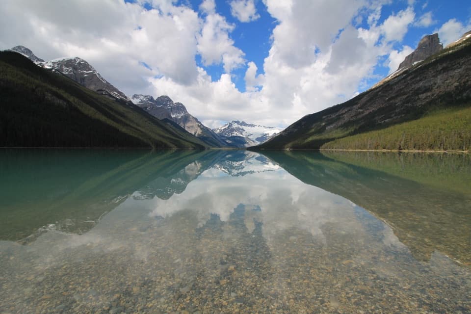 ChallengingGlacier Lake Trail17 km · 6 hr · 4.6 km awayBraided river views, red chairs and a long walk to Glacier Lake.
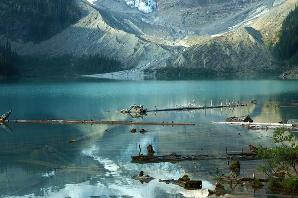 ModerateCirque Lake Trail9.1 km · 3 hr · 12.5 km awayA muddy forest walk to a turquoise lake beneath glacier views.
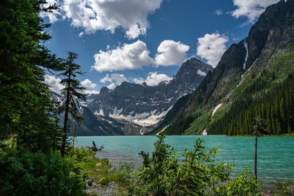 ModerateChephren Lake Trail8.2 km · 2.8 hr · 12.5 km awayA forested out-and-back to Chephren Lake beneath Howse Peak.
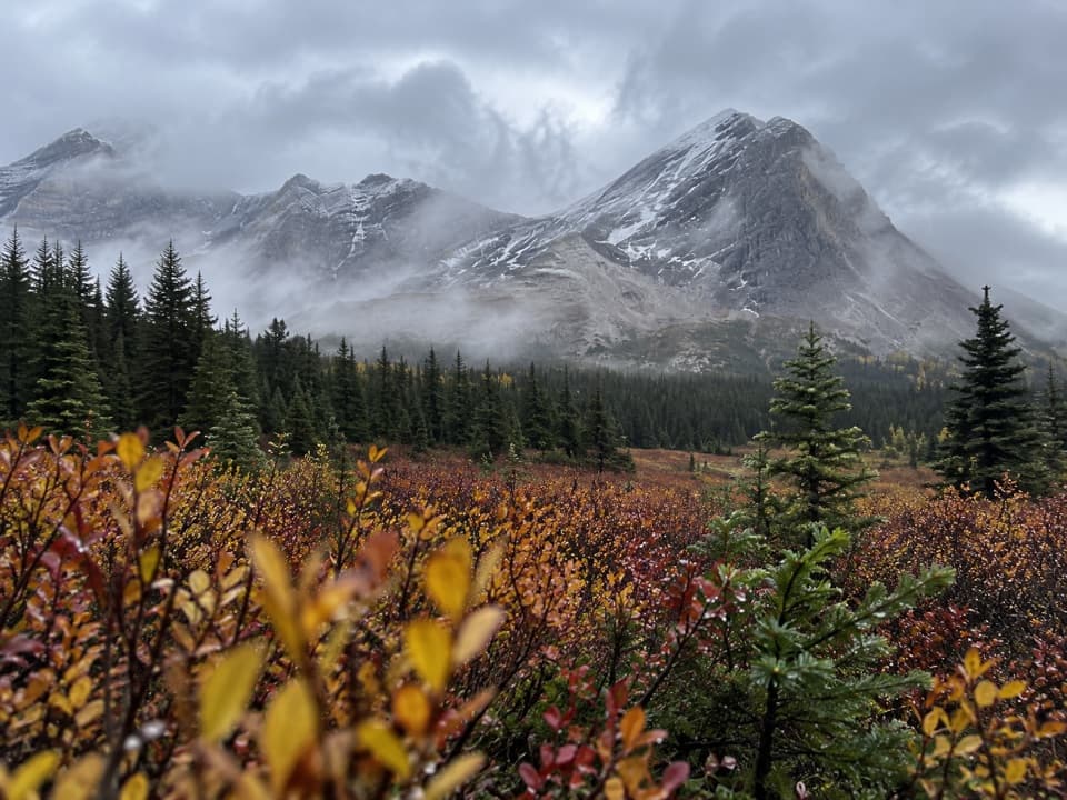 ChallengingSunset Pass Trail16.2 km · 6.5 hr · 19.4 km awayA steep forest climb opens onto remote meadows beneath a high pass.
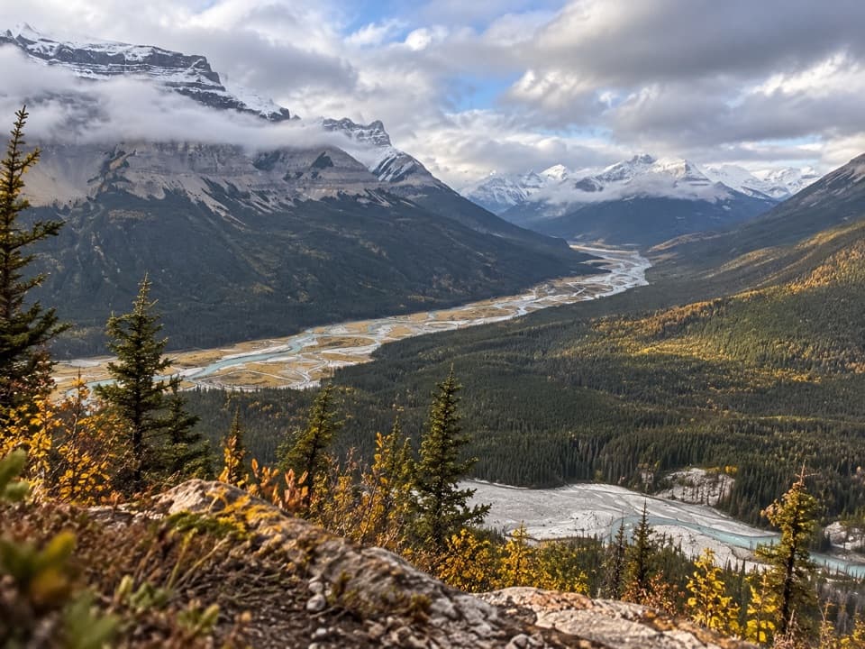 ChallengingSunset Lookout Trail9 km · 3.5 hr · 19.4 km awayA steep climb to a former lookout above two braided river valleys.
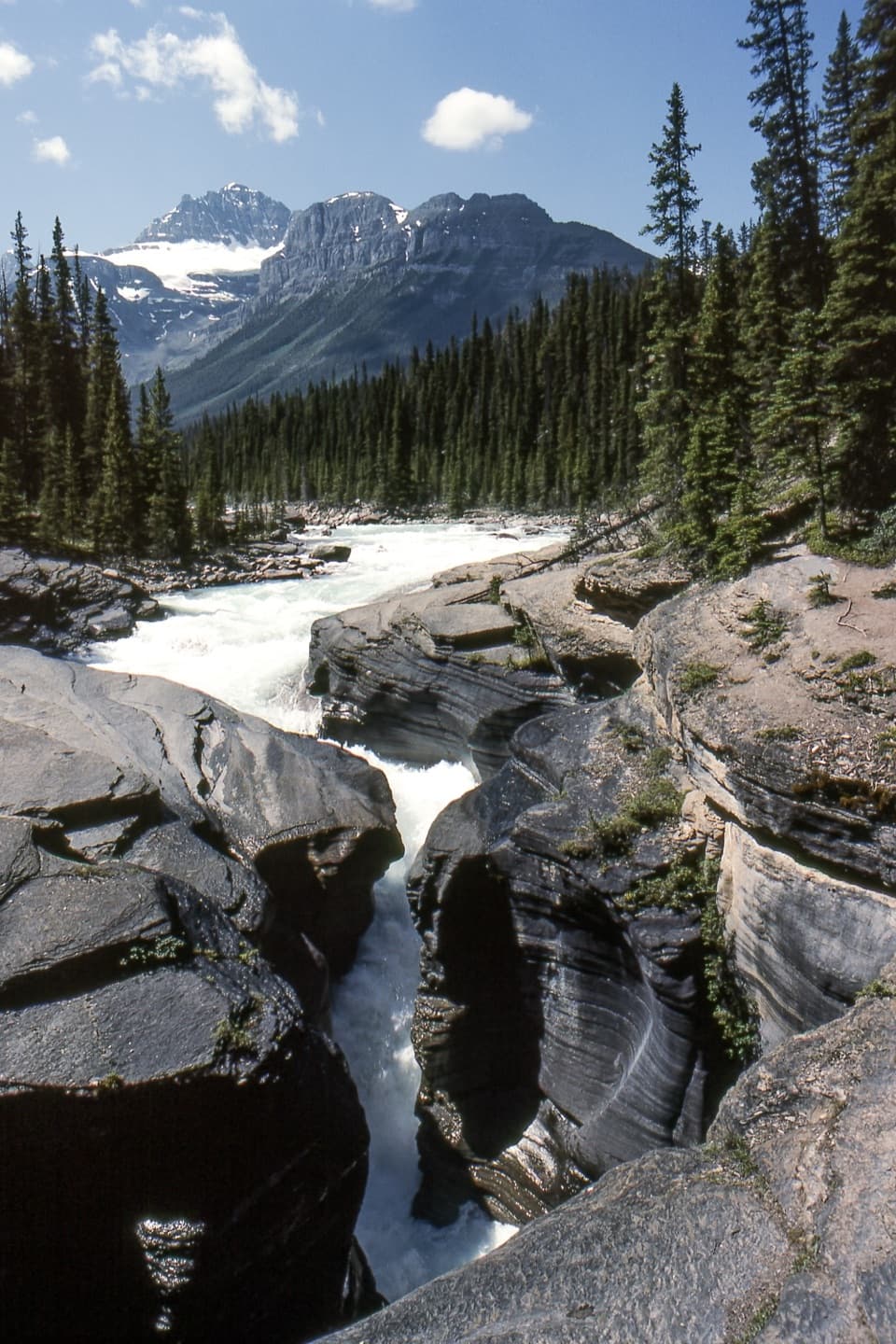 Sight · 0.3 km awayMistaya CanyonA quick bridge stop over a deep, water-carved limestone gorge.
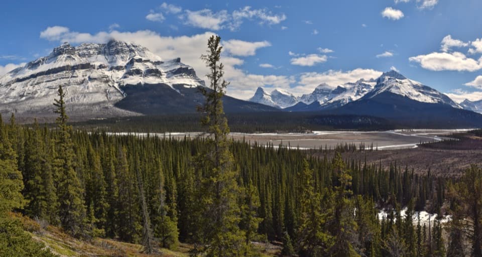 Scenic pullout · 3.7 km awayHowse Pass ViewpointA quick Parkway pause for braided river and mountain views.
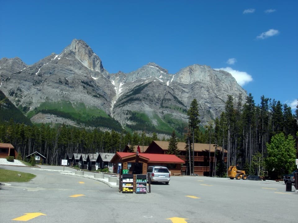 Lodging · 4.2 km awayThe Crossing ResortA remote Parkway stop with beds, meals, and fuel.
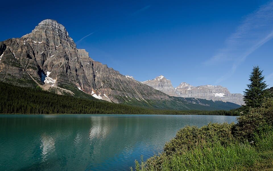 Scenic pullout · 11.9 km awayLower Waterfowl Lake ViewpointMount Chephren and blue-green water make a quick scenic stop.
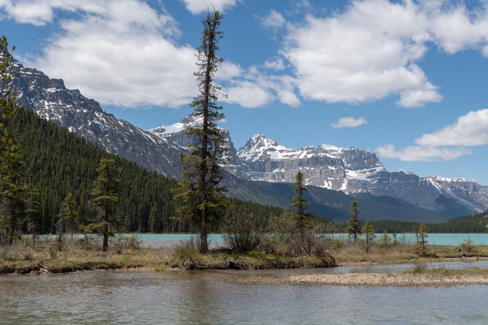 Campground · 12.8 km awayWaterfowl Lakes CampgroundGood paddling between glacier-fed lakes, with no cell signal.
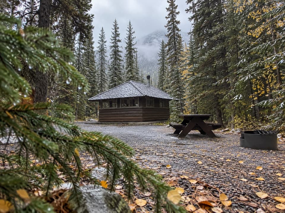 Campground · 15 km awayRampart Creek CampgroundA wooded riverside camp for a quieter Icefields Parkway night.
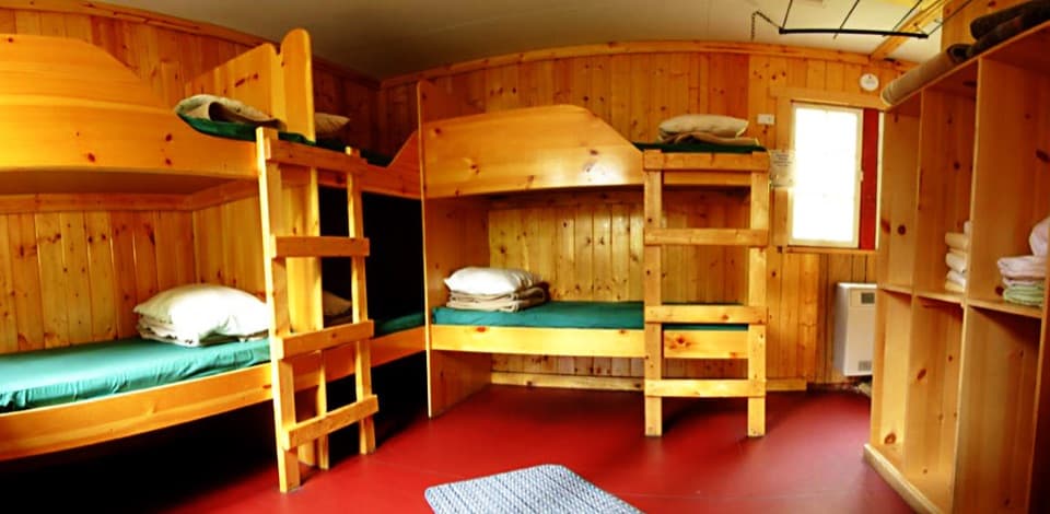 Lodging · 15.1 km awayHI Rampart Creek Wilderness HostelAn off-grid hostel stay with mountain quiet and a shared kitchen.
Parkwolf’s Banff ranking

The audio tour guide for the drive, plus offline maps, trails, and wildlife heatmaps for when the signal drops.