
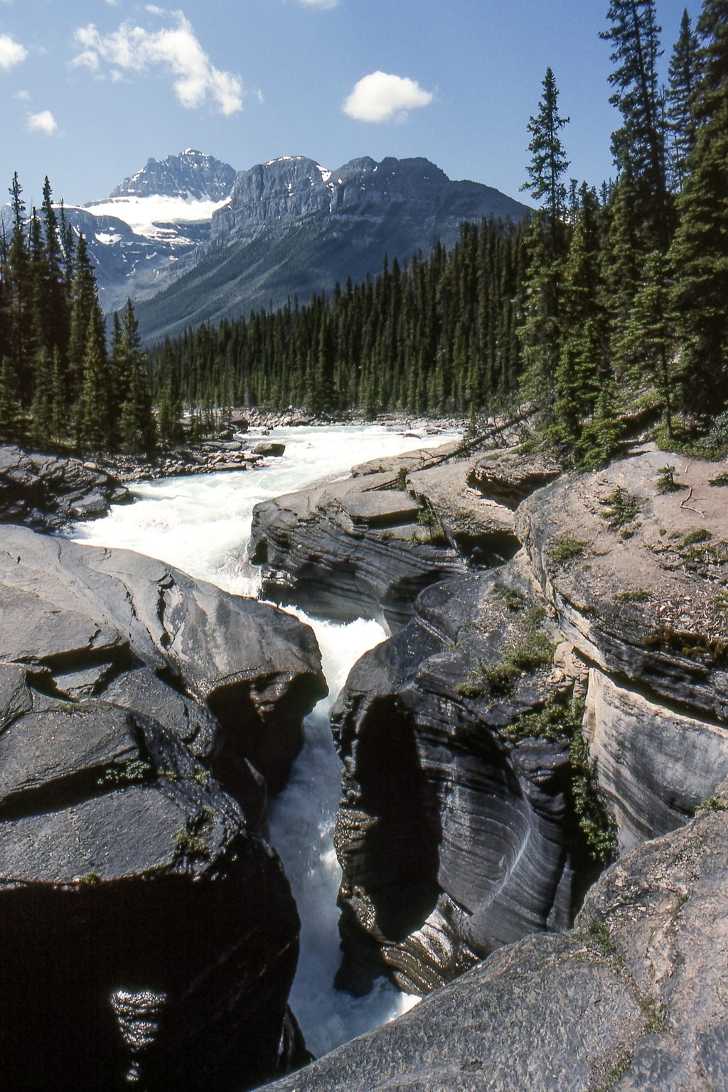
Place · 0.2 mi away
Challenging
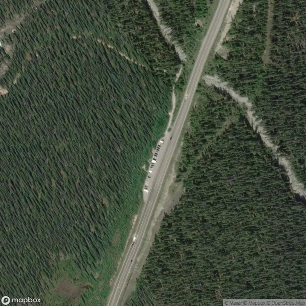
Expect a sustained, forested climb from the Mistaya Canyon area up the ridge of Mount Sarbach to the former fire lookout site. It’s an out-and-back of about 12 km (7.5 miles) total with roughly 800–900 m of elevation gain, and most hikers take 4–6 hours. The path follows old road and singletrack through dense subalpine forest; it’s straightforward but can be overgrown higher up, with occasional deadfall and mud after rain.
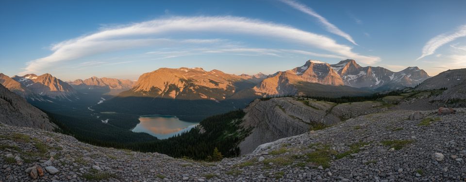
Here’s the catch: the lookout itself sits in trees and can feel underwhelming. Continue 10 minutes farther north along the ridge for the real payoff—expansive views over the Mistaya and North Saskatchewan river valleys and surrounding peaks. It’s a quieter alternative to the busier stops along the Icefields Parkway, and the solitude is part of the charm.
Surface is mostly dirt forest trail with some rocky stretches. The grade is steady and switchbacked, so budget energy for a continuous climb. Watch for birds and small mammals in the woods, and you may see elk or signs of bear activity. Summer brings a solid wildflower show.
Best time to hike: late June through September, when snow has usually melted from upper, north-facing slopes. September is especially scenic. Earlier or later in the season you may encounter lingering snow and slick sections; winter travel isn’t recommended unless you’re equipped and trained for avalanche conditions.
Logistics: Park at the Mistaya Canyon lot on the Icefields Parkway (Hwy 93N). The trail begins just north of the lot (look for a signed junction near the Mistaya River) and climbs steadily from there. There’s no reliable water once you start ascending, so pack what you need. Carry bear spray, hike in a group if you can, and check current advisories and closures before heading out. A valid Parks Canada pass is required for parking and hiking in the park.
Bottom line: if you’re willing to push a little beyond the treed lookout, this is a rewarding, low-crowd ridge ramble with big-mountain scenery. If you want varied scenery along the way, you may find the forested ascent monotonous—but the upper views make the grind worth it.
Park at the Mistaya Canyon lot on the Icefields Parkway (Hwy 93N); the trail starts just north of the lot with a signed junction near the Mistaya River.
Prime bear habitat—carry spray and make noise. Expect a sustained 800–900 m climb with potential deadfall and mud; lingering snow on north aspects early/late season. In winter, avalanche terrain is a risk.
Place · 0.2 mi away
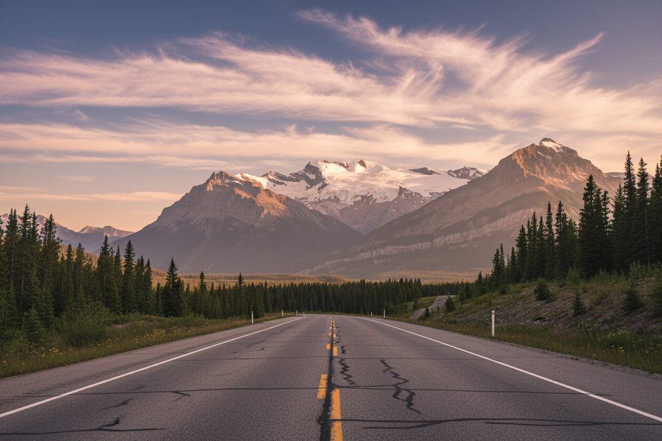
Place · 1.2 mi away
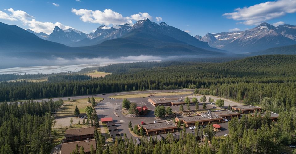
Place · 2.5 mi away
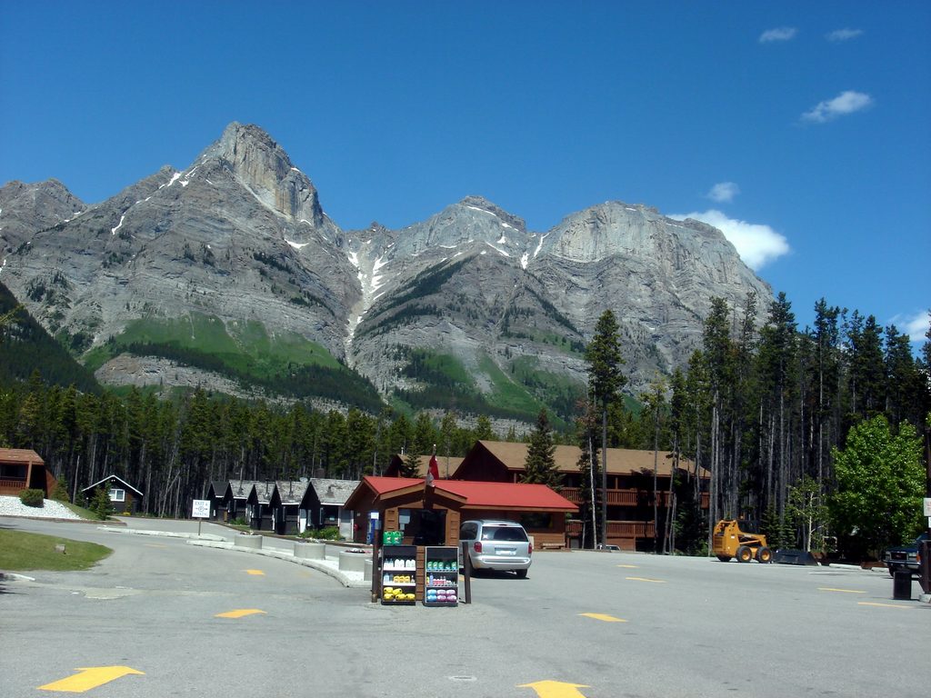
Place · 2.6 mi away
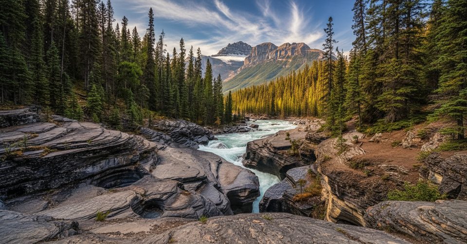
Easy · 0 mi away
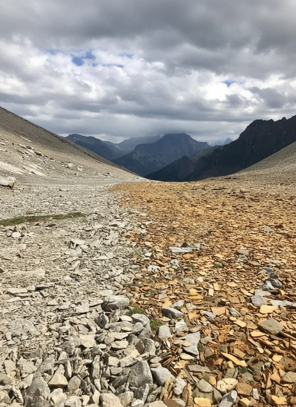
Challenging · 4.7 mi away
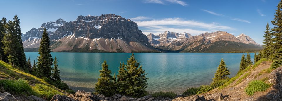
Easy · 8 mi away
Challenging · 12 mi away

Parkwolf Tour Guide
