
Place
Challenging
If you want a quieter, harder Banff day with sweeping ridge views and a dramatic alpine lake that stays hidden until the last minute, Caldron Lake delivers. You’ll leave the Peyto Lake viewpoint crowds almost immediately and trade them for big country and a touch of exposure.
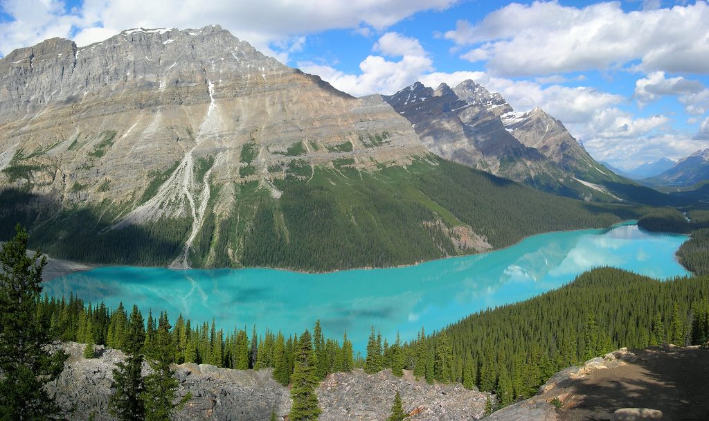
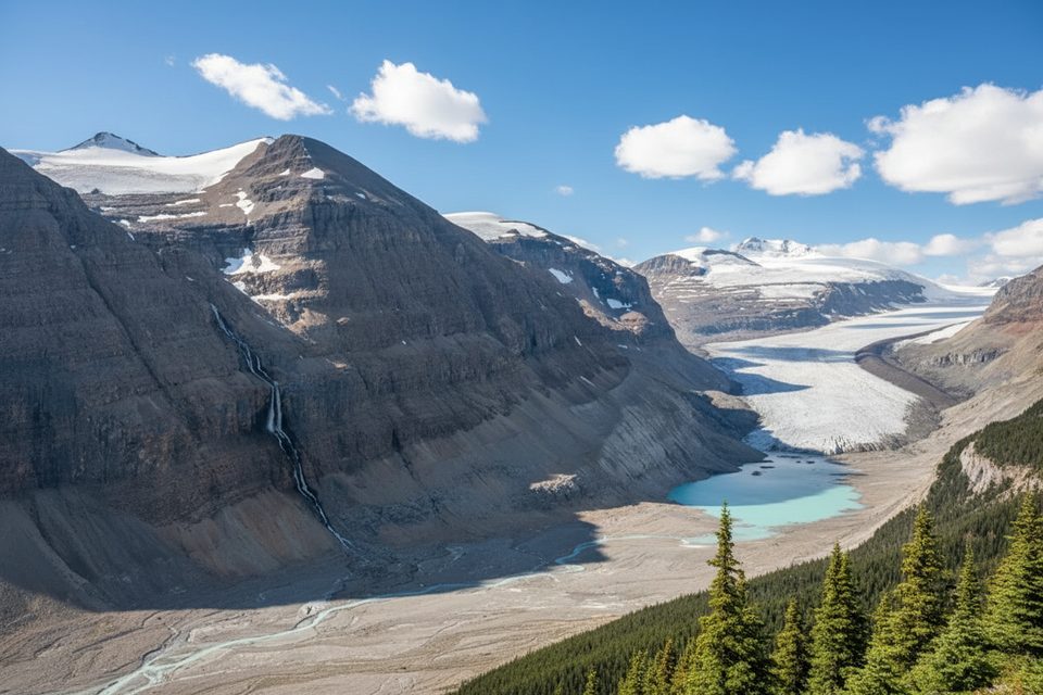
This is an out-and-back of about 8.8 miles total, starting from the Peyto Lake viewpoint parking area off the Icefields Parkway. You’ll climb toward a ridge with constant views back to Peyto Lake and Peyto Glacier. Near the high point, a narrow, exposed traverse leads onto the Caldron side; from there, the path drops roughly a couple hundred yards down to the water. Expect rugged, sometimes faint tread and a bit of route-finding beyond the popular viewpoint.
The ridge serves up all-direction Rockies panoramas and a front-row look at Peyto Glacier. Caldron Lake itself sits in a stark, glacially carved basin tied to the Wapta Icefield—think limestone rubble, boulder fields, and cold, blue water. In mid-summer, watch for alpine wildflowers and listen for marmots and pikas in the rocks; mountain goats and even grizzlies roam this country.
This is a challenging outing, both for the sustained gain and the airy traverse near the lake turnoff. If exposure makes you uneasy, you may choose to skip the final push. Early season can bring lingering snow, and the route isn’t always obvious—have a map or GPS track and be comfortable with backcountry decision-making.
June through October is the typical window, with late July to early September offering the most reliable snow-free travel and wildflowers. Start early to beat any afternoon weather on the ridge and to enjoy the solitude once you’re past the viewpoint.
Park at the Peyto Lake viewpoint parking area off the Icefields Parkway; the route branches from the viewpoint toward the ridge.
Expect exposure on a narrow traverse, faint tread with route-finding, potential lingering snowfields and high water early season, and active grizzly habitat. Bring a map/GPS and bear spray; avoid old routes on the lake’s north side.
Place
Place
Place
Place
Easy
Challenging
Challenging
Moderate

Parkwolf Tour Guide
