Parking
Park at the kiosk at the south end of the Mount Norquay Ski Area parking area, at the end of Mount Norquay Road. Follow the gravel road past the chairlifts; the maintained trail begins near the Mystic Express chairlift.
Banff National Park, AB
A sustained forest climb from Mount Norquay to a dramatic limestone amphitheatre
Overview
This is an out-and-back route of about 8.6 miles (13.9 km) total, with approximately 740 m (2,430 ft) of elevation gain and 6 hours of round-trip hiking time. Begin at the kiosk at the south end of the Mount Norquay Ski Area parking area. Follow the gravel road through the ski area past the Cascade, Spirit, and Mystic chairlifts, then continue on the forest trail to Forty Mile Creek and the signed Cascade Amphitheatre junction. The final section climbs through sustained switchbacks to the meadow.
Cascade Amphitheatre is a sustained forest climb from Mount Norquay to an open meadow beneath the layered limestone walls of Cascade Mountain. The approach is shaded and steady, while the amphitheatre provides the dramatic alpine payoff.
 Parkwolf’s verdictWhy go
Map & elevation
Plan your hike

The highest, rockiest slopes around here are a summer buffet for grizzly bears.
Banff Tour Guide
Parkwolf is a GPS audio tour guide for Banff National Park. As you drive, it chimes in with what’s ahead: hidden gems, upcoming stops, history, geology, and wildlife, right through your car’s speakers.
Recorded for this area
Forty Mile Creek Trailhead for Backcountry Hiking“You're nearing the trailhead for the Forty Mile Creek trail. This isn't a short, casual walk—it's a major access point for multi-day backcountry trips.”
Plays on the road 0.2 km from the trailhead in the Parkwolf Banff Tour Guide.
More stories near here in the app
“…Loved the commentary as you drove thru. I’m sure the app can do more than I know but the tips were very helpful. I’m gonna use it when we go to Banff next month.”


Trail guide
Expect mostly dense forest, with limited views on the approach. The maintained trail ends in an open meadow surrounded by the natural amphitheatre: a broad basin below the sedimentary limestone walls and rockfall slopes of Cascade Mountain. The meadow is also the starting point for the Cascade Mountain scramble; that unmarked scramble is not part of this hike.
Moderate to challenging because of the sustained climb, long distance, and elevation gain, but non-technical on the maintained trail. The route is generally well signed at the ski area, Forty Mile Creek, and the Cascade Amphitheatre junction. The first section descends toward the creek, so expect that section as an uphill climb on the return.
Choose this hike if you want a steady workout and a dramatic limestone basin at the end. Do not continue toward Cascade Mountain unless you have the experience, equipment, and route-finding skills for a serious scramble.
Wildlife
 122 sightingsGrizzly BearMost seen around 6 AMSighting map
 150 sightingsBrown BearMost seen around 6 PMSighting map
 44 sightingsGray WolfMost seen around 6 AMSighting map
 12 sightingsRiver OtterMost seen around 8 PMSighting map
 67 sightingsMooseMost seen around 8 PMSighting map
 465 sightingsBlack BearMost seen around 9 PMSighting map
Sighting maps show where each species has been reported across Banff. Wildlife moves, so no sighting is guaranteed.
Keep exploring
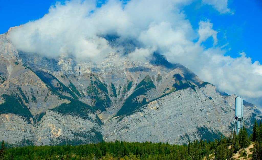 ChallengingCascade Mountain18.5 km · 9 hr · At the trailheadA long, exposed scramble from Mount Norquay to Banff's iconic summit
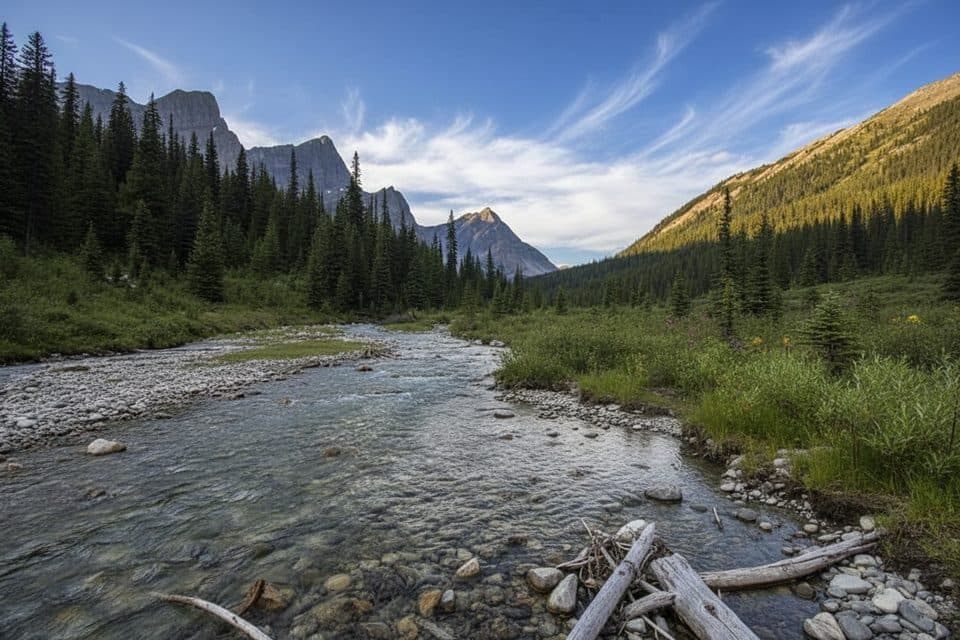 ModerateForty Mile Creek Trail14.5 km · 5 hr · 0.2 km awayQuiet creek‑valley gateway to the Sawback Range and hidden lakesChallengingSawback Trail74 km · 1.7 days · 0.2 km awayThree mountain passes on a 46-mile point-to-point Sawback backcountry traverseModerateStoney Lookout Trail4.4 km · 1.5 hr · 0.5 km awayShort forest loop to big Banff and Cascade Mountain views
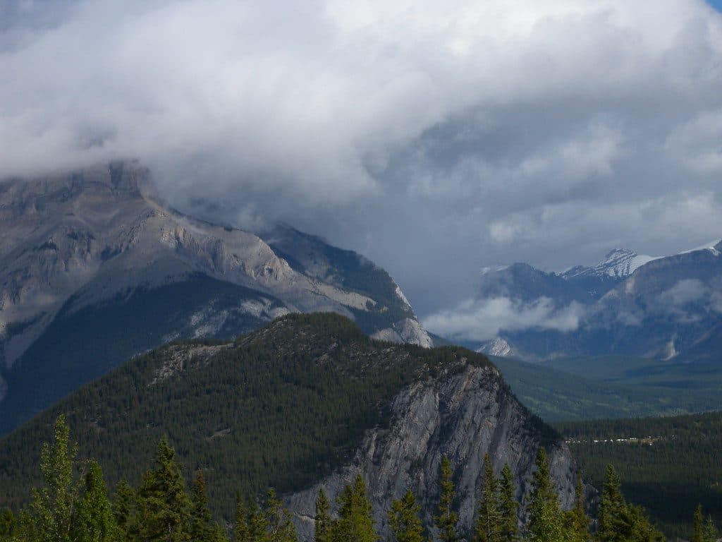 ModerateStoney Squaw Mountain4.5 km · 1.5 hr · 0.5 km awayShaded 4.5 km loop from Mount Norquay with forested views over Banff and Cascade Mountain
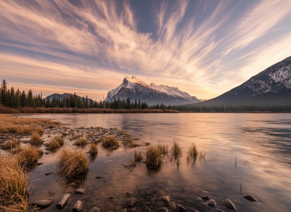 EasyVermilion Lakes Trail8.5 km · 2.5 hr · 2.6 km awayA flat lakeside drive with Mount Rundle reflections and easy wildlife watching
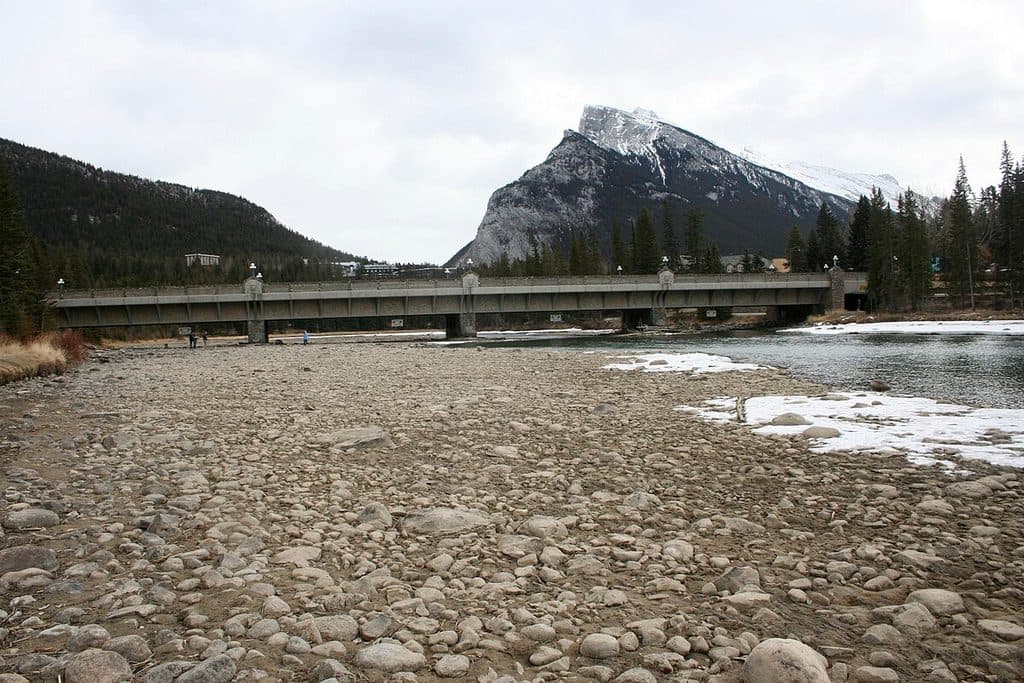 EasyBow River Trail (Banff)2.7 km · 1 hr · 3.9 km awayEasy out-and-back from Central Park to Bow Falls
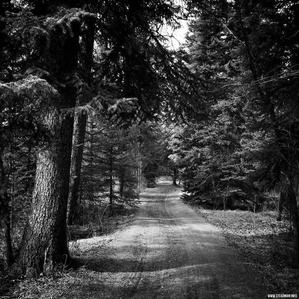 EasyMarsh Loop2.7 km · 1 hr · 4 km awayEasy wetland loop with boardwalks and birding at Cave and Basin
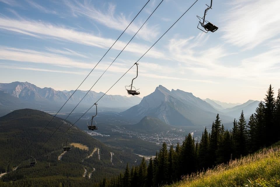 Sight · 0.5 km awayMt Norquay Sightseeing ChairliftOpen‑air chairlift to big views and a cliffside bistro
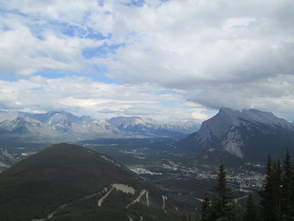 Sight · 0.5 km awayMount NorquayLocal ski hill with night skiing, via ferrata, and big views
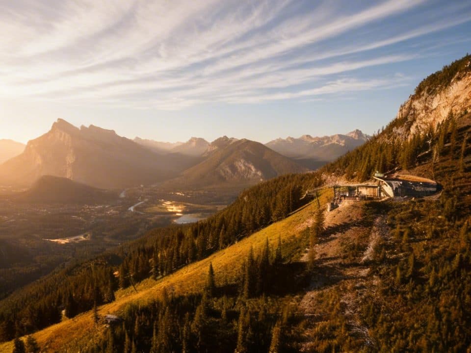 Restaurant · 1.1 km awayCliffhouse BistroChairlift-accessed mountaintop lunch with knockout views over Banff
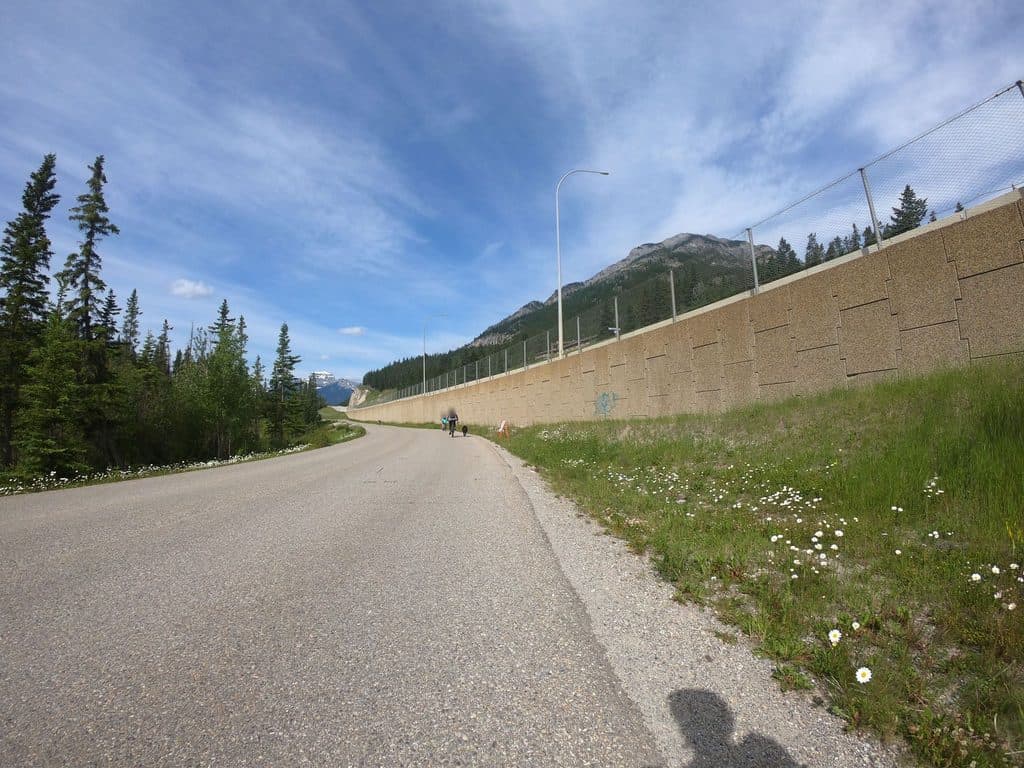 Sight · 1.1 km awayKing's LookoutEasy drive-up vista over Banff with big views for little effort
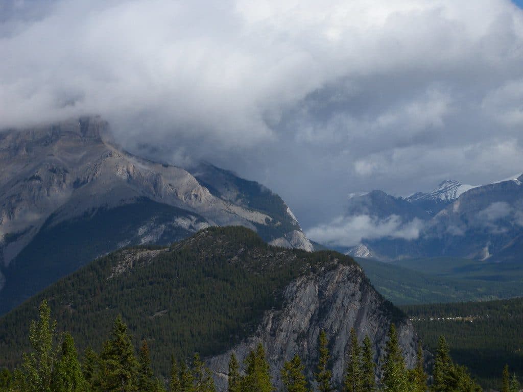 Sight · 1.6 km awayStoney Squaw MountainShort, quiet forest hike to modest views over Banff
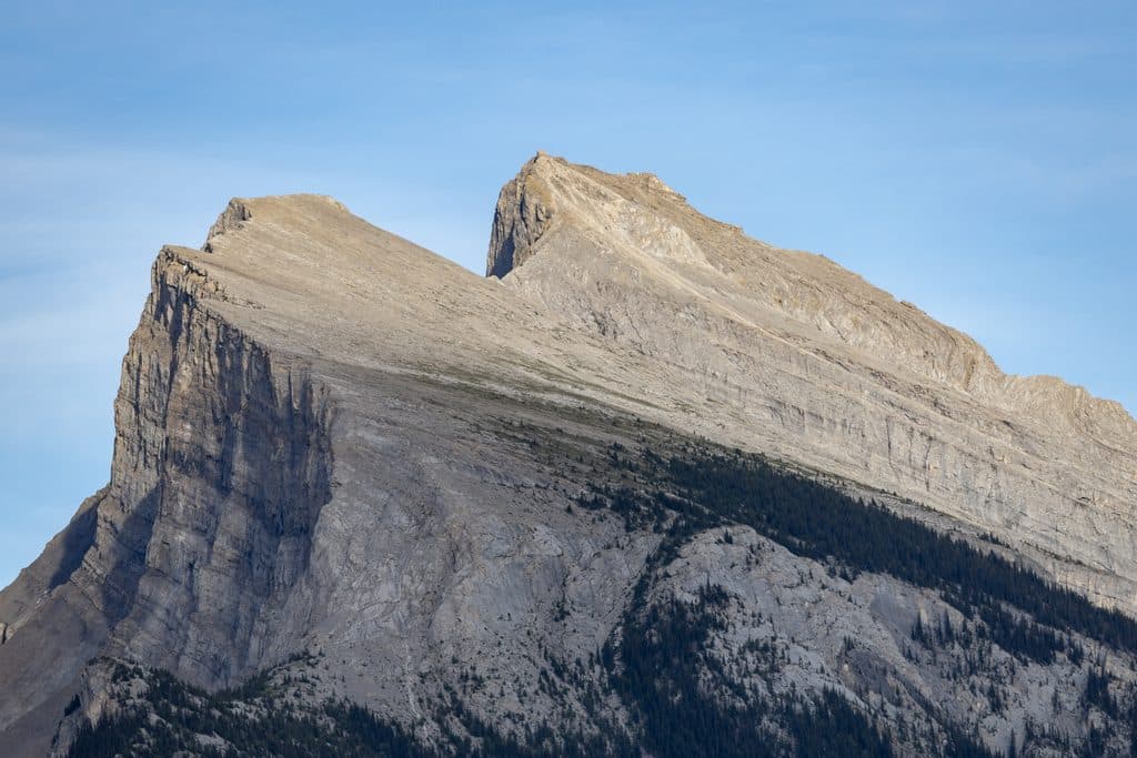 Sight · 2.5 km awayVermilion Lakes ViewpointRoadside Rundle reflections with wildlife and big-sky sunsets
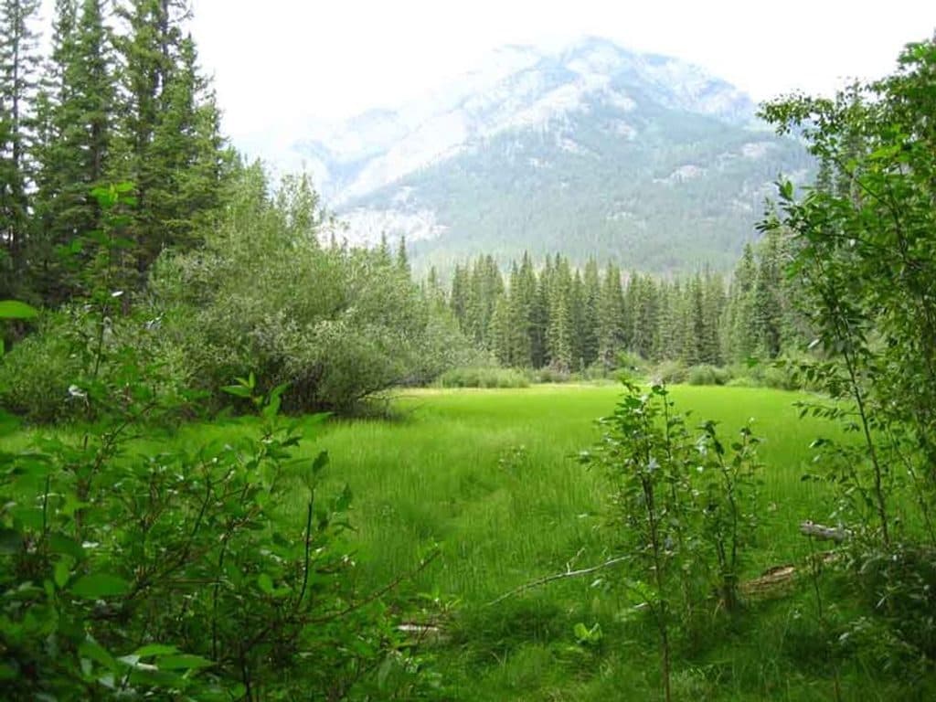 Trailhead · 2.6 km awayFenlandShort, shady loop through old‑growth spruce and marsh near town
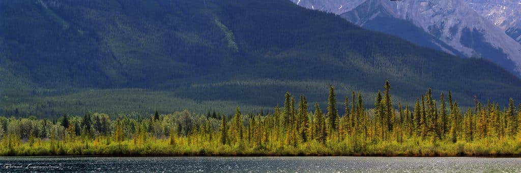 Sight · 2.7 km awayVermilion LakesEasy-access Rundle reflections with docks, wildlife, and calm water
Parkwolf’s Banff ranking
The audio tour guide for the drive, plus offline maps, trails, and wildlife heatmaps for when the signal drops.





