Parking
Moraine Lake Road is closed to personal vehicles. Use the Parks Canada shuttle or other permitted transport to Moraine Lake; there is no private parking at the trailhead. Begin near Moraine Lake Lodge at the signed trail network.
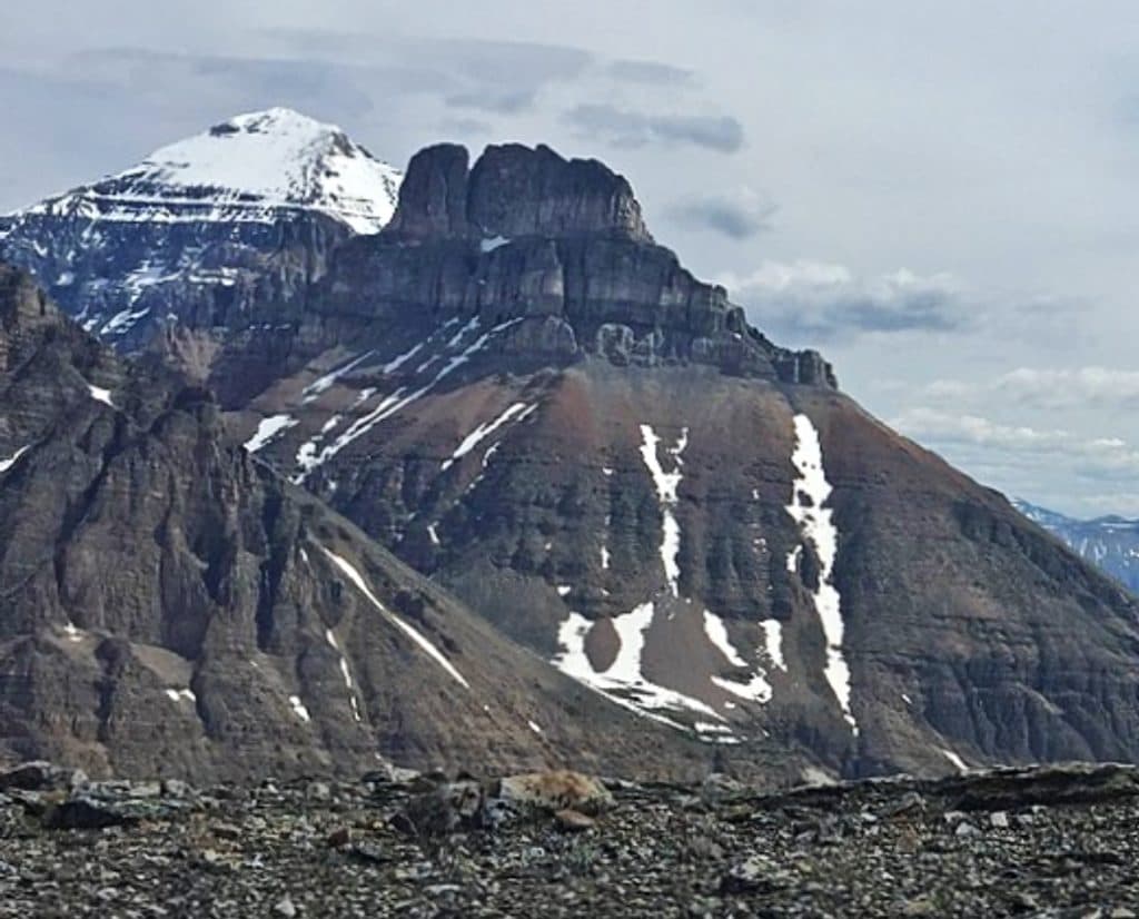
Banff National Park, AB
Demanding alpine scramble from Moraine Lake to Ten Peaks views
Overview
Eiffel Peak is a demanding alpine scramble above Moraine Lake with sweeping views of the Valley of the Ten Peaks, Mount Temple, Larch Valley, and the surrounding glaciers. It is a serious objective for confident scramblers, not a maintained summit trail.
 Parkwolf’s verdictWhy hike it
Map & elevation
Plan your hike

The highest, rockiest slopes around here are a summer buffet for grizzly bears.
Banff Tour Guide
Parkwolf is a GPS audio tour guide for Banff National Park. As you drive, it chimes in with what’s ahead: hidden gems, upcoming stops, history, geology, and wildlife, right through your car’s speakers.
Recorded for this area
The Famous 'Twenty-Dollar View' at Moraine Lake“You're getting close to Moraine Lake, and the first thing you'll want to find is the Rockpile Trail.”
Plays on the road 0.1 km from the trailhead in the Parkwolf Banff Tour Guide.
More stories near here in the app
“…Loved the commentary as you drove thru. I’m sure the app can do more than I know but the tips were very helpful. I’m gonna use it when we go to Banff next month.”


Trail guide
Start at the Moraine Lake Trailhead near the lodge and follow the signed approach toward Larch Valley and Sentinel Pass. Keep right at the Eiffel Lake junction, then continue through the larch forest and alpine meadows until the route leaves the maintained trail. The final approach crosses a creek, reaches Eiffel Peak’s east ridge, and climbs loose scree and rocky terrain to the summit. The summit route is unmarked and route finding is part of the experience; do not try to reach Eiffel Peak from Eiffel Lake.
Plan on about 7.0 miles (11.3 km) total out-and-back, including the Moraine Lake approach, with roughly 4,000 feet (1,220 m) of elevation gain. Most parties should allow 6–8 hours for the round trip, depending on route-finding, scrambling pace, and breaks. The physical corridor is stored once from the trailhead to the summit; the length above is the total distance a visitor hikes out and back.
Moraine Lake Road is closed to personal vehicles, so plan for Parks Canada shuttle or other permitted transport to the lake. There is no private parking at the trailhead. Carry bear spray, follow current Parks Canada access and group-size rules, and expect rapidly changing alpine weather. The upper route has loose rock, steep scree, hands-on scrambling, and exposure; helmets and confident movement on unstable terrain are prudent.
This route rewards experienced hikers who want a quieter summit scramble with exceptional Ten Peaks views. If you want a signed, maintained hike, choose Larch Valley or Eiffel Lake instead.
Wildlife
 122 sightingsGrizzly BearMost seen around 6 AMSighting map
 150 sightingsBrown BearMost seen around 6 PMSighting map
 44 sightingsGray WolfMost seen around 6 AMSighting map
 12 sightingsRiver OtterMost seen around 8 PMSighting map
 67 sightingsMooseMost seen around 8 PMSighting map
 465 sightingsBlack BearMost seen around 9 PMSighting map
Sighting maps show where each species has been reported across Banff. Wildlife moves, so no sighting is guaranteed.
Keep exploring
 ChallengingLarch Valley and Sentinel Pass11.1 km · 5 hr · At the trailheadBanff’s golden larch showpiece with big-pass views from Moraine Lake
 ChallengingSentinel Pass11.3 km · 5 hr · At the trailheadGolden larches and big mountain views from Moraine Lake to Sentinel Pass.
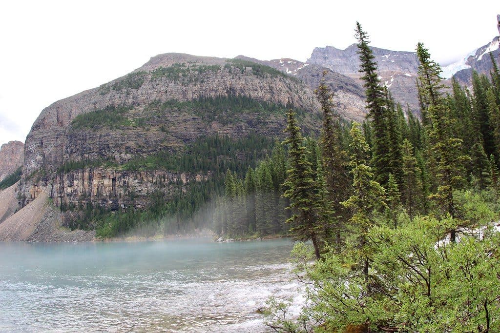 EasyMoraine Lake Lakeshore2.6 km · 45 min · At the trailheadEasy Moraine Lake shoreline stroll to the back-of-lake waterfall
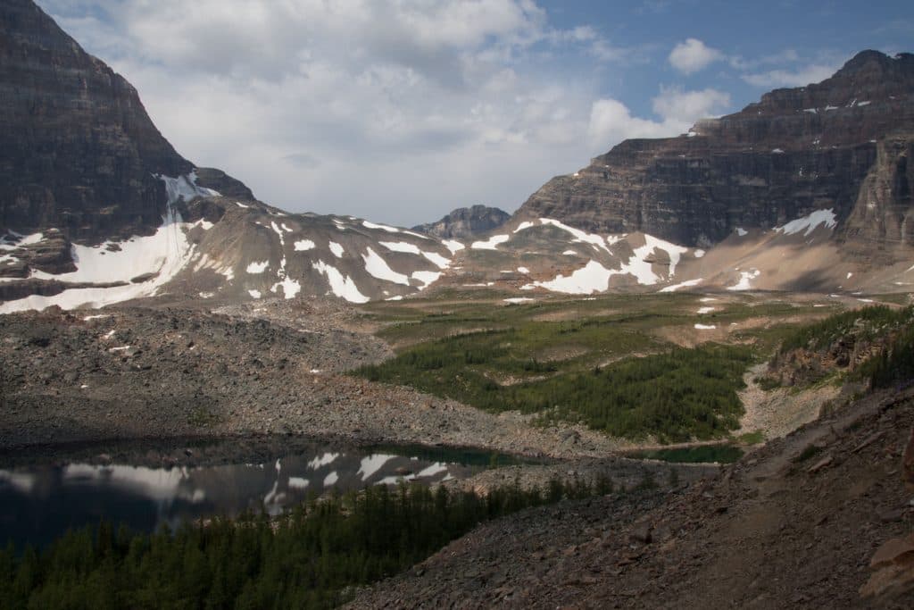 ChallengingWenkchemna Pass19.2 km · 7.5 hr · At the trailheadLong, difficult climb from Moraine Lake to a high-alpine pass in the Valley of the Ten Peaks
 EasyMoraine Lake Rockpile0.8 km · 30 min · At the trailheadShort transit-accessed walk to Moraine Lake’s iconic Rockpile viewpoint
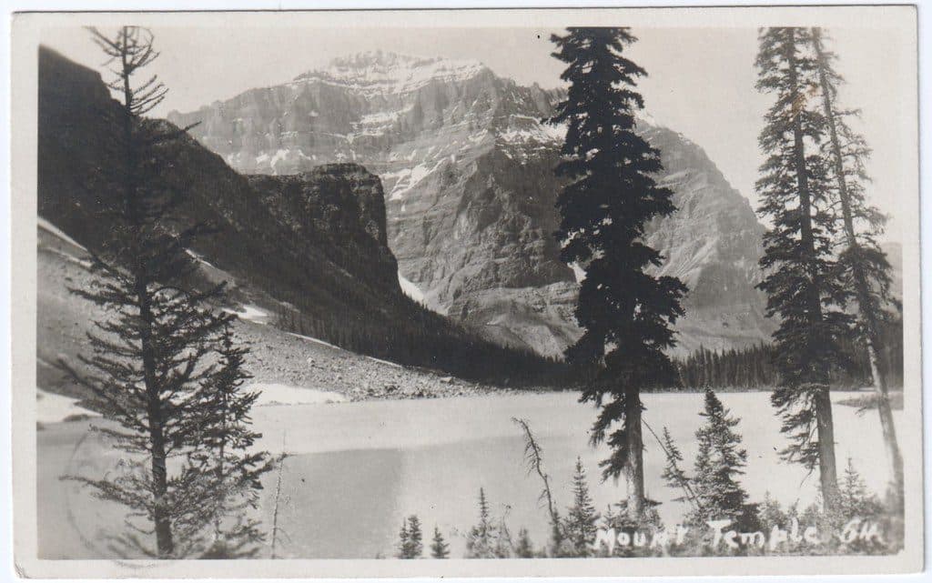 ChallengingMount Temple15.1 km · 9.5 hr · At the trailheadA serious full-day scramble from Moraine Lake to Banff’s highest summit, with huge Valley of the Ten Peaks views.ModerateEiffel Lake Tr11.4 km · 4.5 hr · 0.1 km awayA quieter Moraine Lake hike to a turquoise alpine lake beneath the Ten Peaks
 ChallengingTower of Babel2.9 km · 3.5 hr · 0.1 km awayA short, steep scree scramble to panoramic Moraine Lake views
 Lodging · 0.1 km awayMoraine Lake lodgeLakeside luxury with guest-only serenity at sunrise and sunset
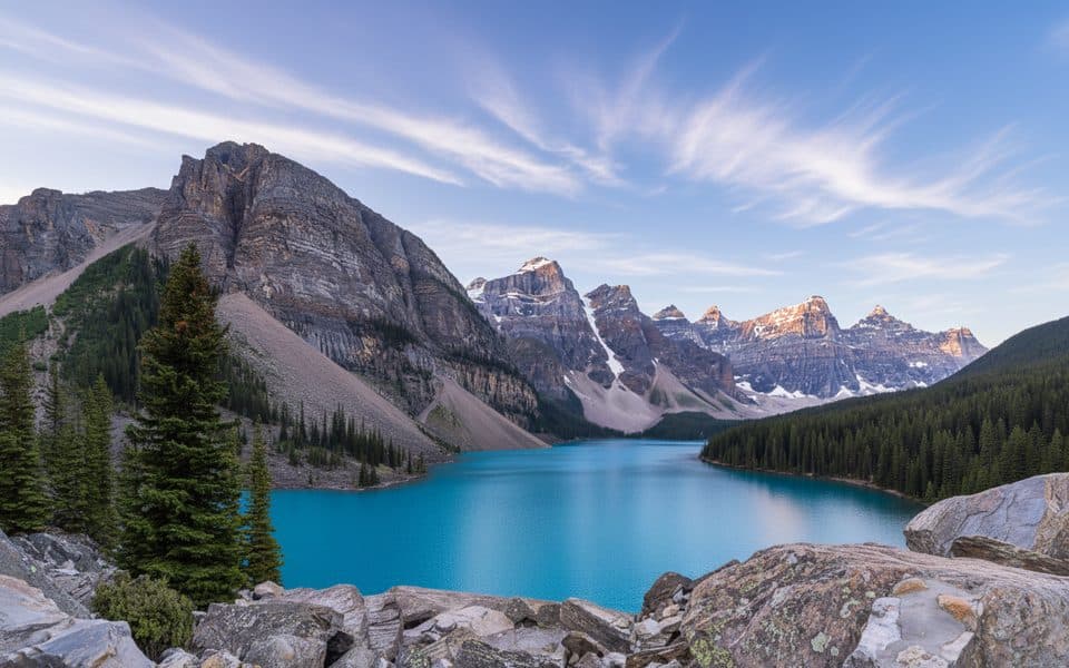 Sight · 0.1 km awayMoraine Lake Rockpile ViewpointThe classic $20 view over turquoise Moraine Lake and Ten Peaks
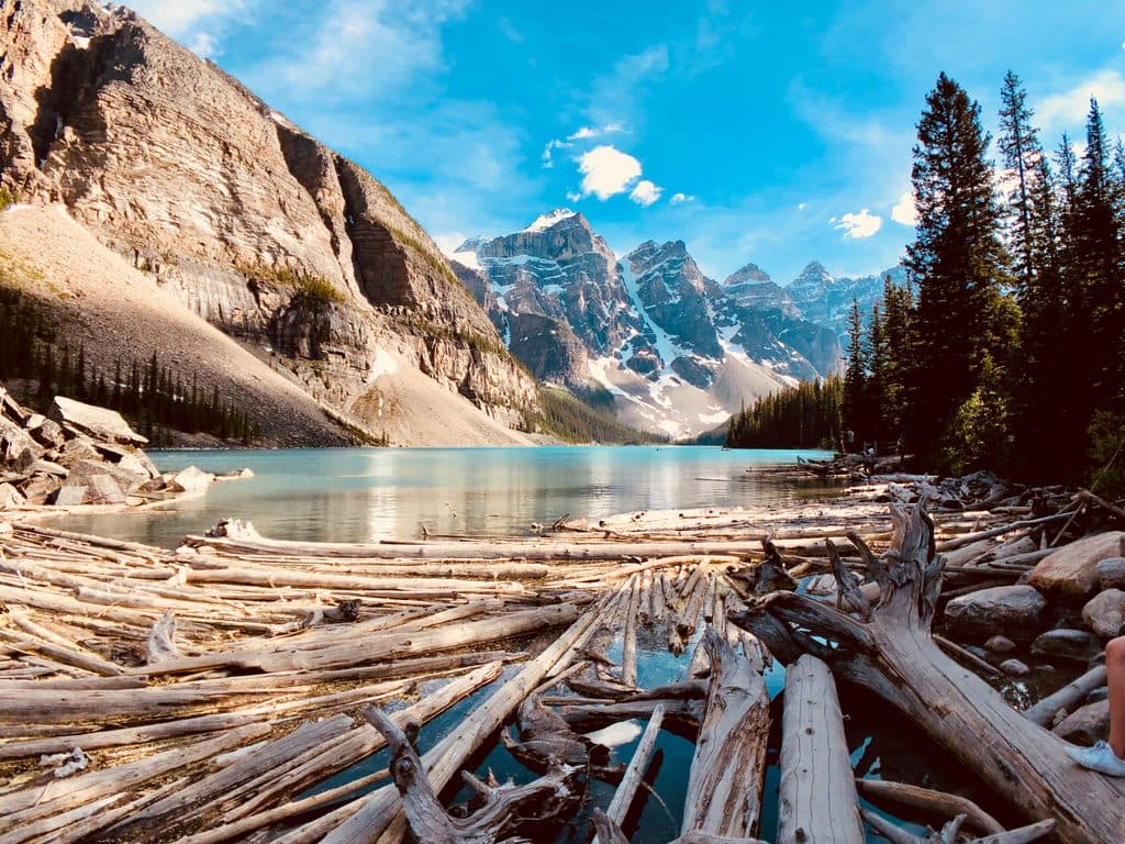 Sight · 0.8 km awayMoraine LakeTurquoise icon under Ten Peaks with easy trails and epic views
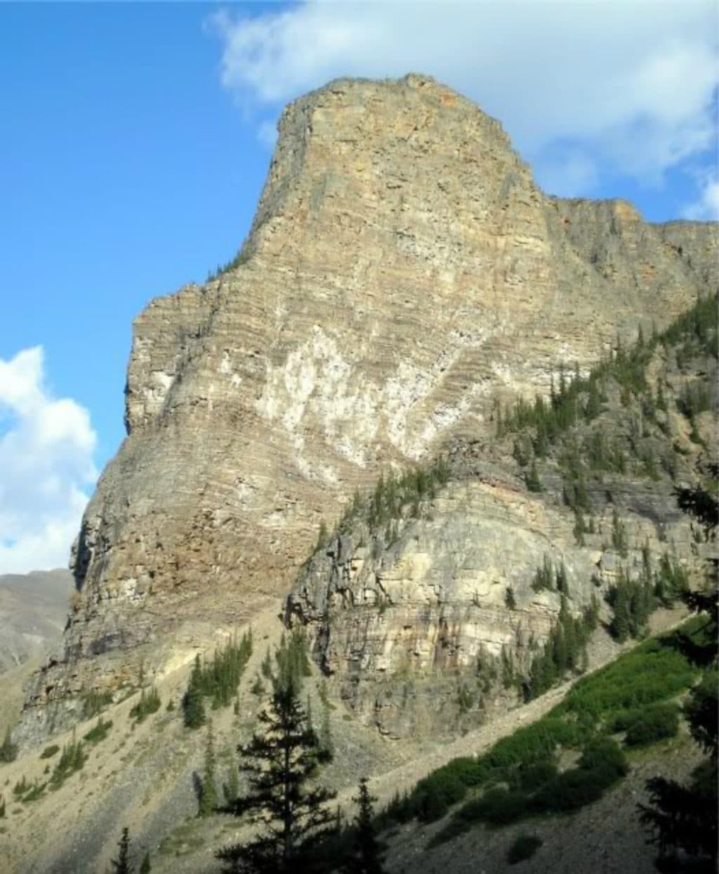 Sight · 0.9 km awayTower of BabelShort, spicy scramble above Moraine Lake with knockout summit views
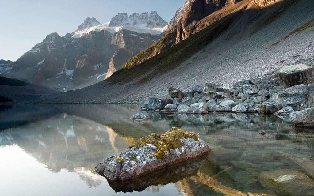 Sight · 2.4 km awayConsolation LakesSerene twin alpine lakes beyond Moraine, big views for little effort
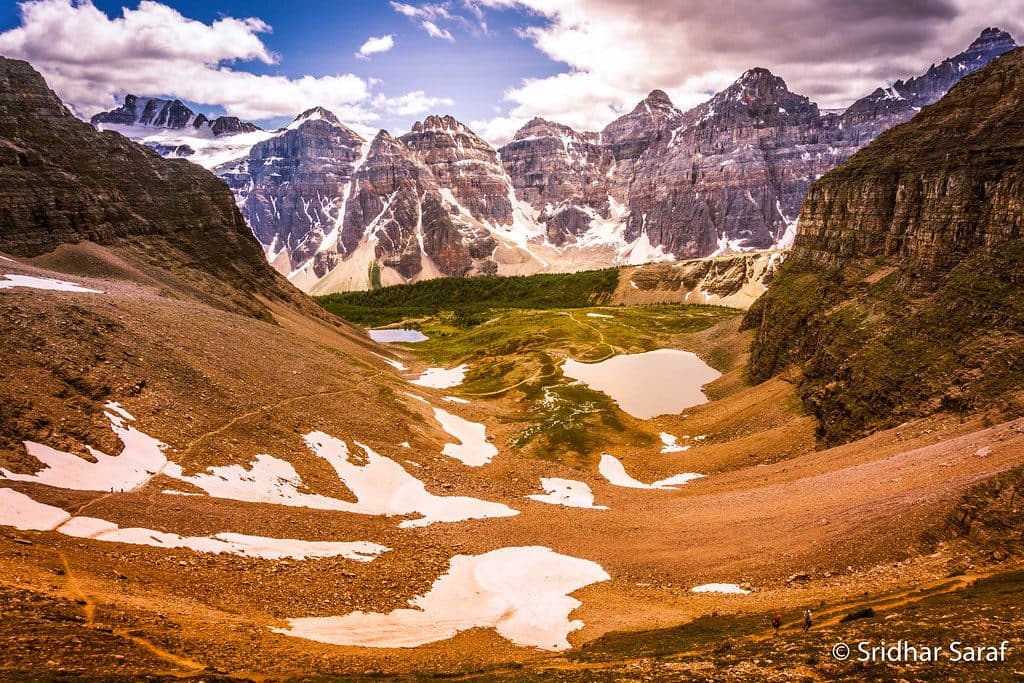 Sight · 2.8 km awayLarch ValleyGolden larch meadows under the Ten Peaks, best in late September
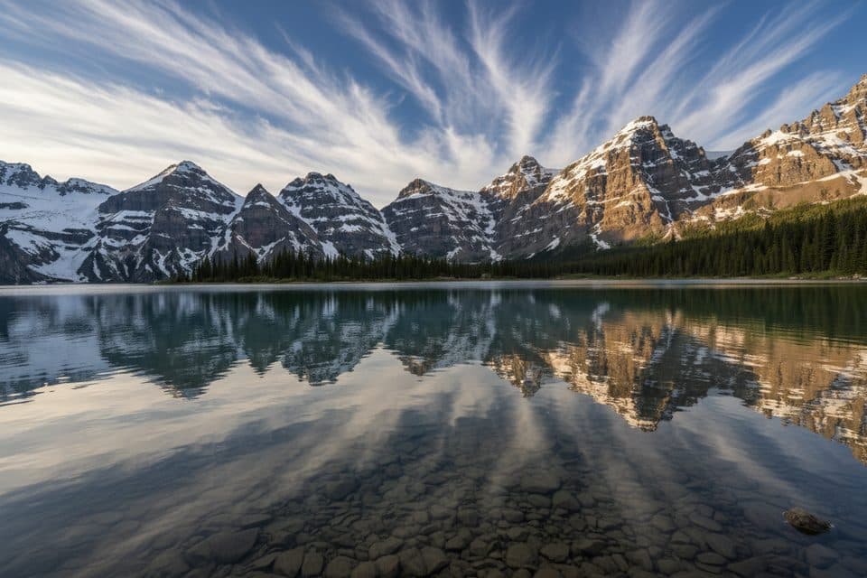 Sight · 2.8 km awayMinnestima LakesSmall alpine pools beneath Sentinel Pass and the golden larches
 Sight · 3 km awayMount TempleLoftiest local summit with staggering Moraine Lake and Ten Peaks views
Parkwolf’s Banff ranking
The audio tour guide for the drive, plus offline maps, trails, and wildlife heatmaps for when the signal drops.


