Parking
Park at the Fish Creek parking lot off Whitehorn Road. The route begins along Temple Road toward Boulder Pass, Ptarmigan Lake, and Deception Pass.
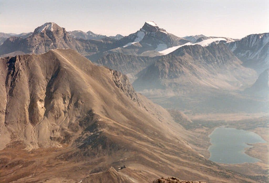
Banff National Park, AB
Long alpine day to fossil beds and sweeping Skoki views
Overview
Fossil Mountain is a strenuous, remote-feeling alpine day from the Fish Creek parking lot, with broad Skoki views and fossil-rich limestone near the summit.
 Parkwolf’s verdictWhy hike it
Map & elevation
Plan your hike

The highest, rockiest slopes around here are a summer buffet for grizzly bears.
Banff Tour Guide
Parkwolf is a GPS audio tour guide for Banff National Park. As you drive, it chimes in with what’s ahead: hidden gems, upcoming stops, history, geology, and wildlife, right through your car’s speakers.
Recorded for this area
Lake Louise Ski Resort and Summer Gondola“You're nearing the Lake Louise Ski Resort, which is a major hub for both winter skiing and summer sightseeing. In summer, the main attraction is the gondola ride up Mount Whitehorn.”
Plays on the road 0.8 km from the trailhead in the Parkwolf Banff Tour Guide.
More stories near here in the app
“…Loved the commentary as you drove thru. I’m sure the app can do more than I know but the tips were very helpful. I’m gonna use it when we go to Banff next month.”


Trail guide
This is an out-and-back of about 25.6 km (15.9 mi) total. From Fish Creek, follow Temple Road and the Skoki approach through Boulder Pass and past Ptarmigan Lake to Deception Pass, then follow the defined but unofficial route up Fossil Mountain's west slope to the summit. The stored line follows the physical corridor once; the return is retraced. The upper route is loose and steep in places and is best treated as a non-technical scramble rather than a maintained summit trail.
Plan for roughly 8–12 hours and about 1,250 m (4,100 ft) of cumulative elevation gain, depending on pace and conditions. Solid footwear, confident footing, navigation skills, and experience with long alpine days are important.
Grizzly bears frequent the area; carry bear spray and stay alert. Ptarmigan may be seen near Deception Pass. Bring layers and rain gear, treat surface water, and expect limited or no cell coverage.
The route begins at the Fish Creek parking lot off Whitehorn Road. Signage becomes sparse away from the main approach, so carry a detailed map and do not rely on the summit path being signed. Dogs must be leashed in Banff National Park, and the long approach, loose rock, and exposure make this a poor fit for many dogs. A Parks Canada pass is required for the park; backcountry camping in the Skoki area requires the appropriate reservation.
This is a committing mountain day for experienced hikers who are comfortable with long approaches, loose scree, and changing alpine conditions.
Wildlife
 122 sightingsGrizzly BearMost seen around 6 AMSighting map
 150 sightingsBrown BearMost seen around 6 PMSighting map
 44 sightingsGray WolfMost seen around 6 AMSighting map
 12 sightingsRiver OtterMost seen around 8 PMSighting map
 67 sightingsMooseMost seen around 8 PMSighting map
 465 sightingsBlack BearMost seen around 9 PMSighting map
Sighting maps show where each species has been reported across Banff. Wildlife moves, so no sighting is guaranteed.
Keep exploring
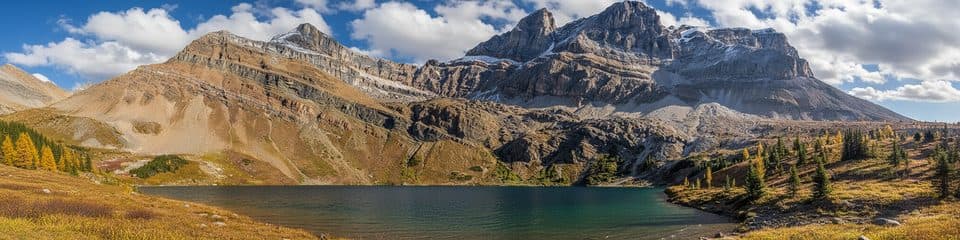 ChallengingHidden Lake (Skoki)16.7 km · 6.5 hr · At the trailheadDifficult Skoki out-and-back to a quiet alpine lake beneath Ptarmigan and Pika peaks
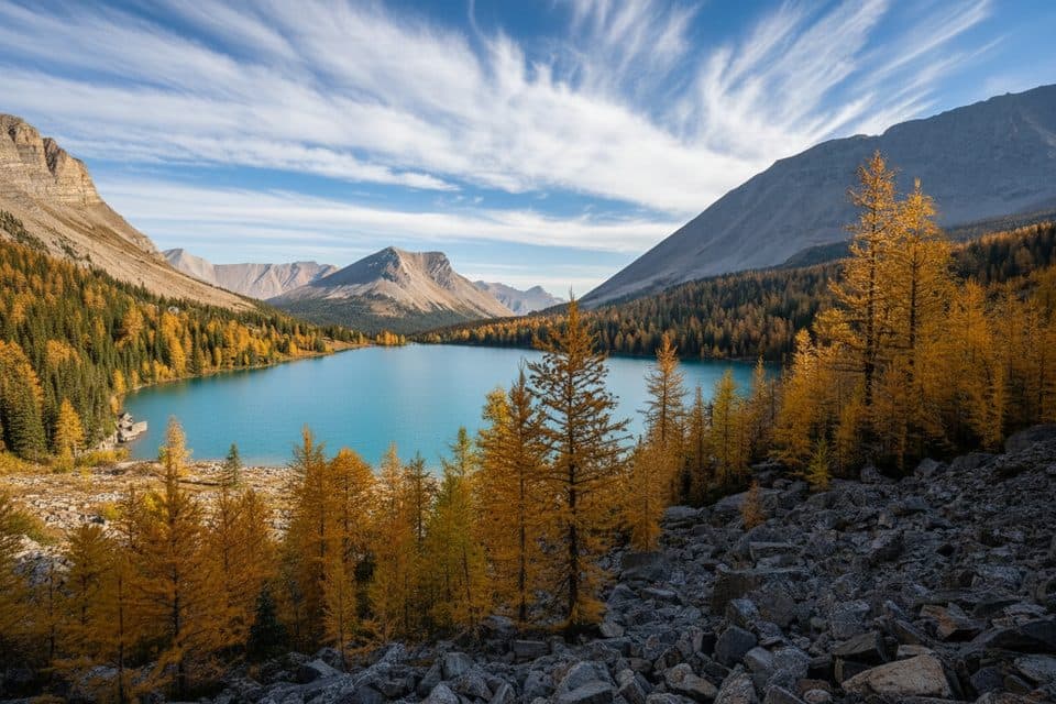 ChallengingSkoki Trail36.9 km · 14 hr · At the trailheadDemanding multi-day loop through alpine lakes, passes, meadows, and historic Skoki Lodge.ModerateBaker Lake via Boulder Pass25.6 km · 9 hr · At the trailheadA long alpine-lake approach over Boulder Pass to remote Baker LakeChallengingOyster Peak Route34.9 km · 11.5 hr · At the trailheadLong Skoki approach to a difficult Oyster Peak summit scrambleChallengingSkoki Valley Loop via Deception Pass36.9 km · 14 hr · At the trailheadA demanding three-day loop through Baker Lake, Skoki Lodge, Merlin Meadows, and Deception PassChallengingSkoki Valley Trail40.7 km · 16.5 hr · At the trailheadA demanding multi-day loop through Banff's Skoki backcountryModerateBoulder Pass and Ptarmigan Lake17.9 km · 5.5 hr · At the trailheadA long alpine out-and-back from Fish Creek to Boulder Pass and Ptarmigan LakeModeratePtarmigan Lake via Boulder Pass17.9 km · 5.5 hr · At the trailheadA long alpine out-and-back from Fish Creek to Boulder Pass and Ptarmigan Lake
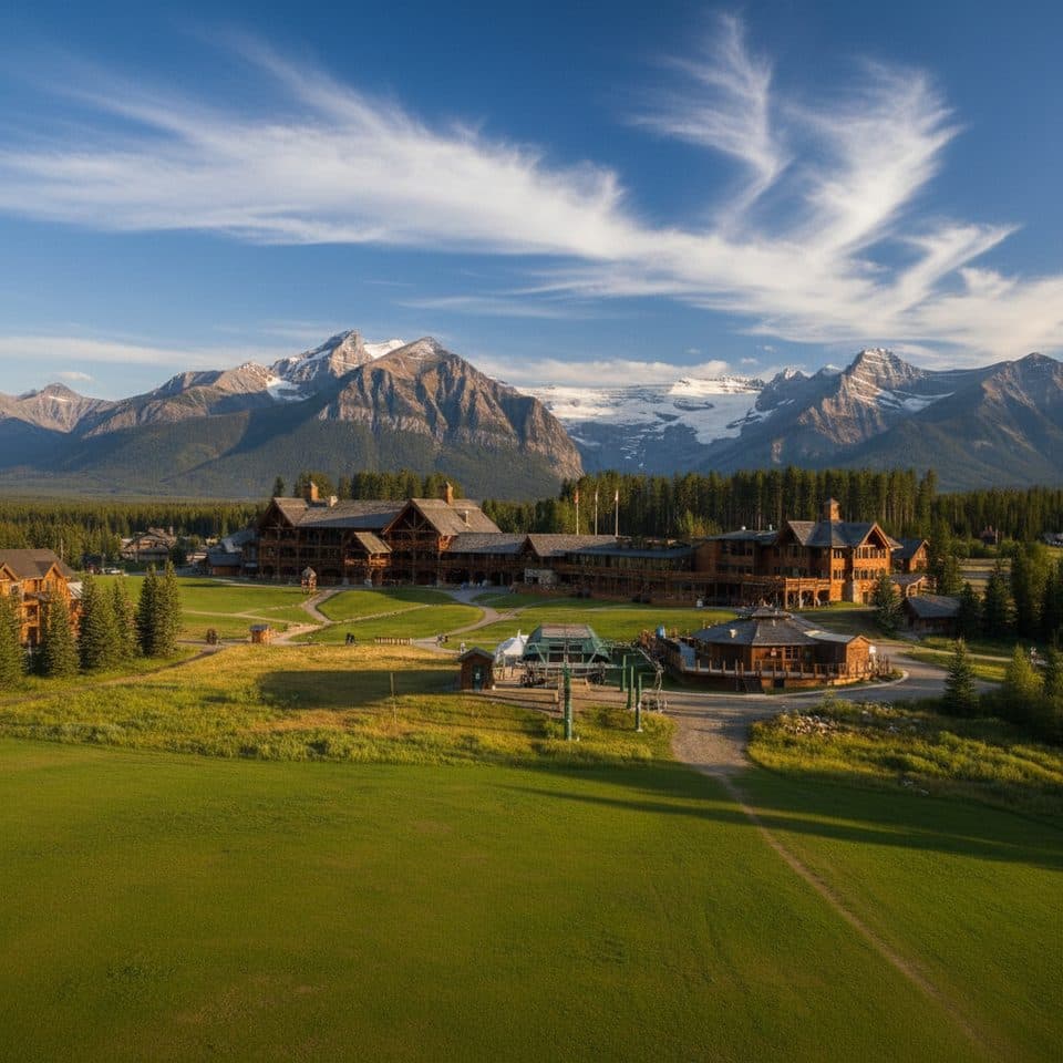 Restaurant · 0.8 km awayLodge of the Ten PeaksBig log cafeteria with mountain views at the ski area base
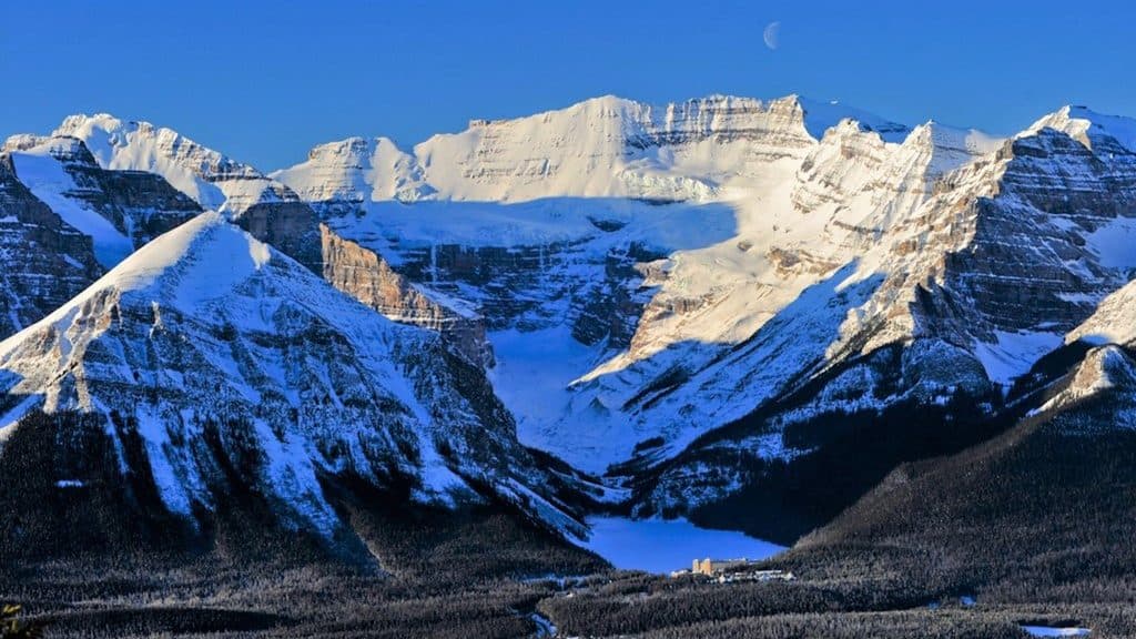 Sight · 0.8 km awayLake Louise Ski ResortBig-mountain skiing and summer grizzly viewing with knockout views
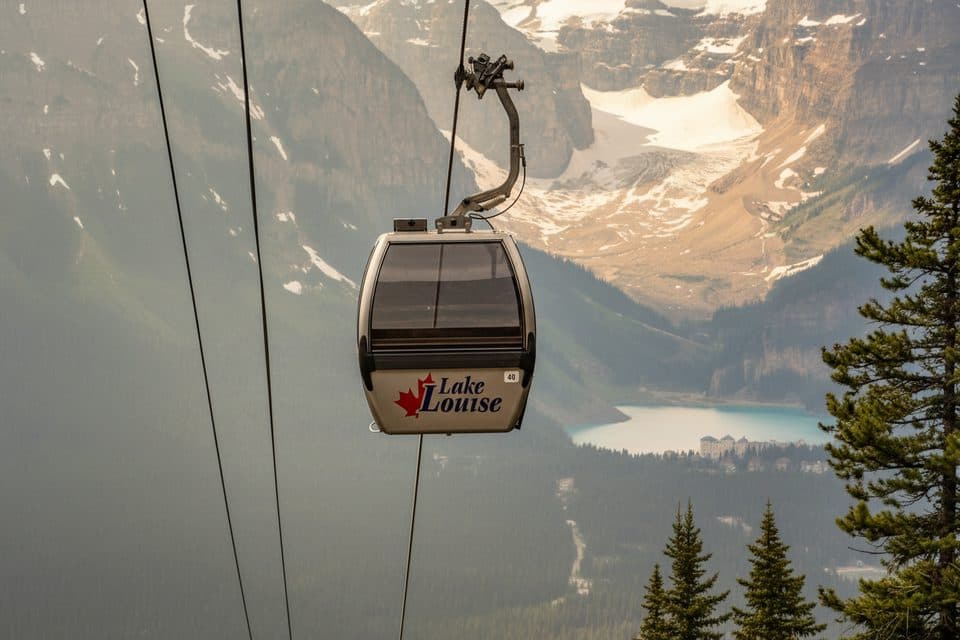 Sight · 0.8 km awayLake Louise Ski Resort Summer Gondola ViewpointGood chance of grizzlies and big alpine views by gondola
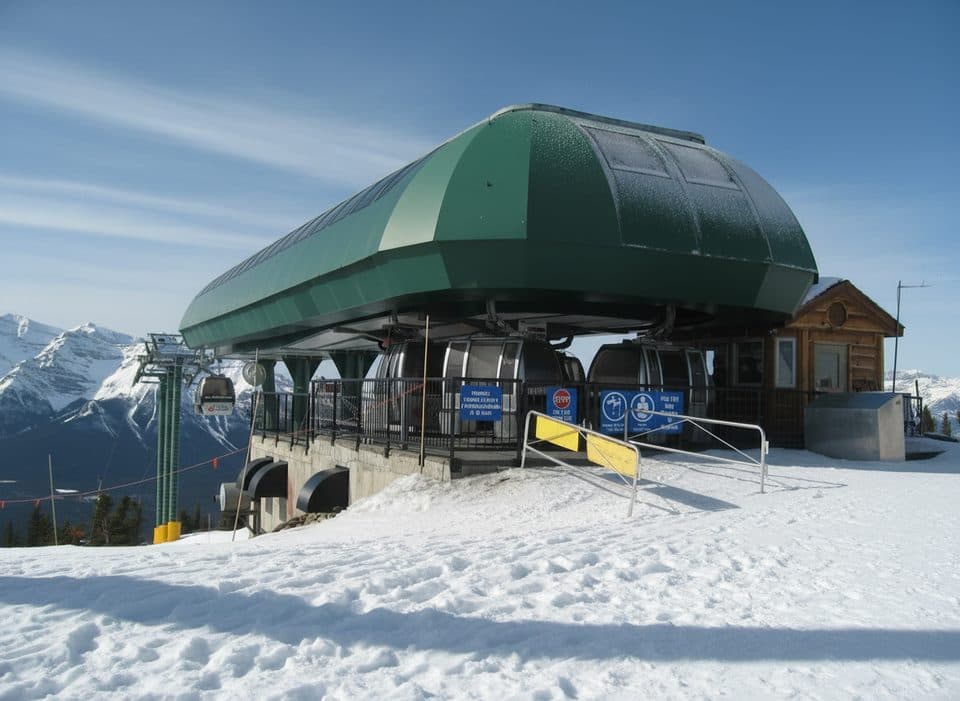 Sight · 0.8 km awayGrizzly Express GondolaScenic ride with real odds of spotting grizzlies
 Gas station · 2.3 km awayShellLake Louise’s go-to fuel stop with diesel and propane
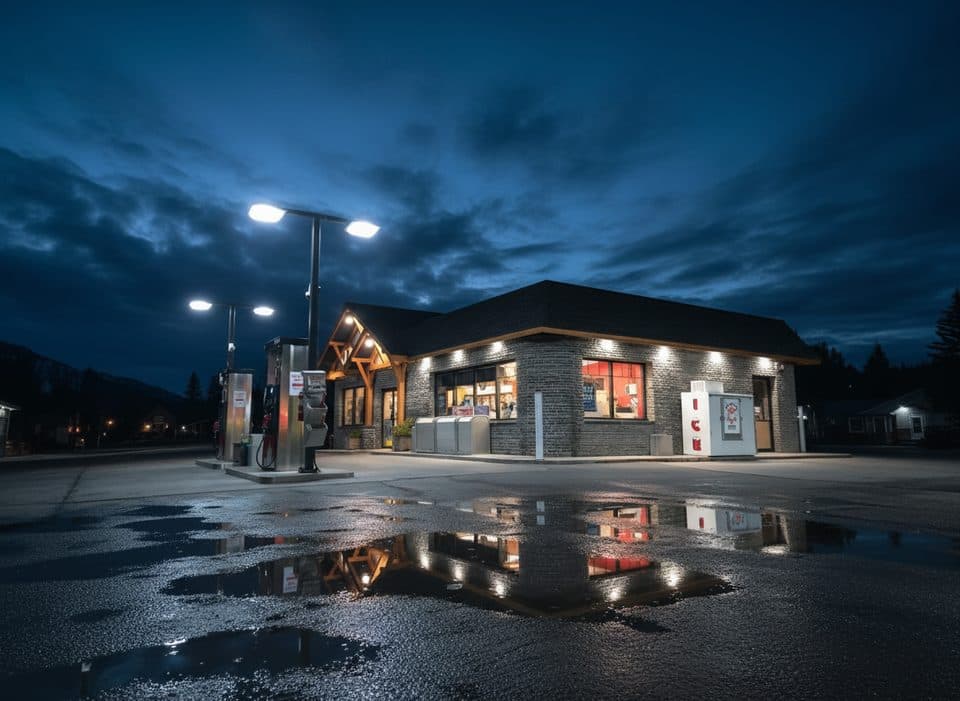 Gas station · 2.4 km awayPetro-CanadaEssential Lake Louise fuel stop with long hours and a c‑store
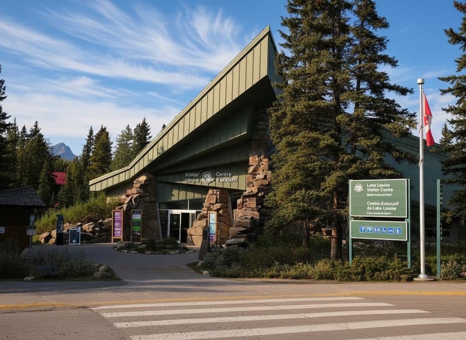 Visitor center · 2.4 km awayLake Louise Visitor CentreYour planning hub for permits, tips, and geology exhibits
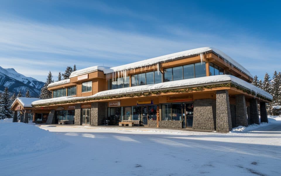 Store · 2.5 km awaySamson MallLake Louise’s one-stop hub for food, gear, and info
Parkwolf’s Banff ranking
The audio tour guide for the drive, plus offline maps, trails, and wildlife heatmaps for when the signal drops.





