
Place
Challenging
This is the lakes-and-larches classic you do when you want the show without the crowds. Starting from the Vista Lake Day Use Area on Highway 93S, you’ll drop to emerald Vista Lake, climb to serene Arnica, roll past the Twin Lakes, then finish with a gratifying push through subalpine larch forest to wide-open Gibbon Pass. It’s a big, beautiful day with real work baked in—and the payoff is worth every step.
Plan on roughly 14.3 miles (about 23 km) total out-and-back with significant cumulative elevation (on the order of 1,300–1,400 m) thanks to the repeated ups and downs between basins. From the Vista Lake lot you descend first, then climb steadily to Arnica Lake, undulate to Upper and Lower Twin Lakes, and make a final climb to Gibbon Pass. Most hikers turn around at the pass. An alternate approach from the Twin Lakes trailhead at Altrude Creek near Castle Junction is roughly comparable in length but avoids the initial big descent—choose it if you prefer a steadier grade.
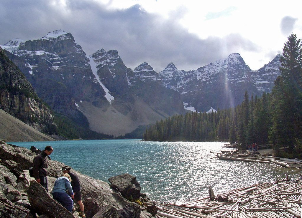
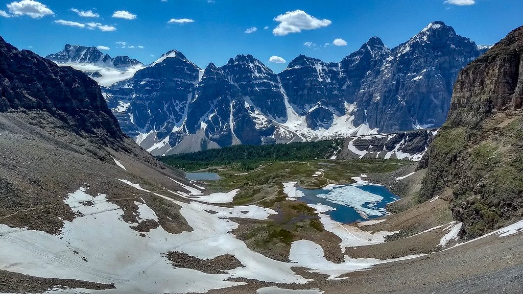
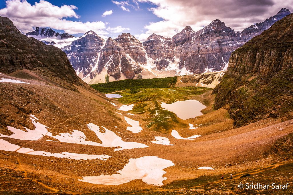
Four lakes, each with its own mood: reflections on Vista, quiet shores at Arnica, and the Twin Lakes backed by the cliffs of Storm Mountain. A photogenic waterfall tumbles into Lower Twin Lake from Storm Mountain. The stretch from Upper Twin to the pass runs through dense larch stands—when they flash gold in late September/early October, this corridor rivals Banff’s headline larch hikes without the same crush of people. At the pass, broad mountain views and even a historical plaque mark the spot.
Make no mistake: the distance plus the constant elevation changes make this a moderate-to-challenging outing. Expect steep pitches between basins and a sting-in-the-tail climb back up to the parking lot at day’s end. Sections near Lower Twin can be very muddy, and the path toward the pass can feel rustic, with occasional deadfall and near washouts. Canada Jays (aka whiskey jacks) are bold beggars around Lower Twin—don’t feed them.
July through September brings snow-free travel and wildflowers; shoulder seasons can mean slick mud and lingering snow on shaded slopes and at the pass. For peak larch color, target late September; some years the needles fade by early October. Start early to savor time at each lake and to beat the limited daylight of fall. Larch weekends draw more people, but this route remains quieter than Banff’s most famous larch hikes.
If you love quiet water, golden larches, and a real backcountry feel, this one’s a gem—think Egypt Lakes vibes without committing to a multi-day trip.
Vista Lake Day Use Area on Highway 93S (about 30 minutes from Banff). Alternate: Twin Lakes trailhead at Altrude Creek near Castle Junction.
Expect very muddy tread near Lower Twin, deadfall and minor washouts toward the pass, and icy/slushy footing in shoulder season. Carry bear spray and do not feed Canada Jays.
Place
Place
Place
Place
Easy
Challenging
Challenging
Moderate

Parkwolf Tour Guide
