
Place
Moderate
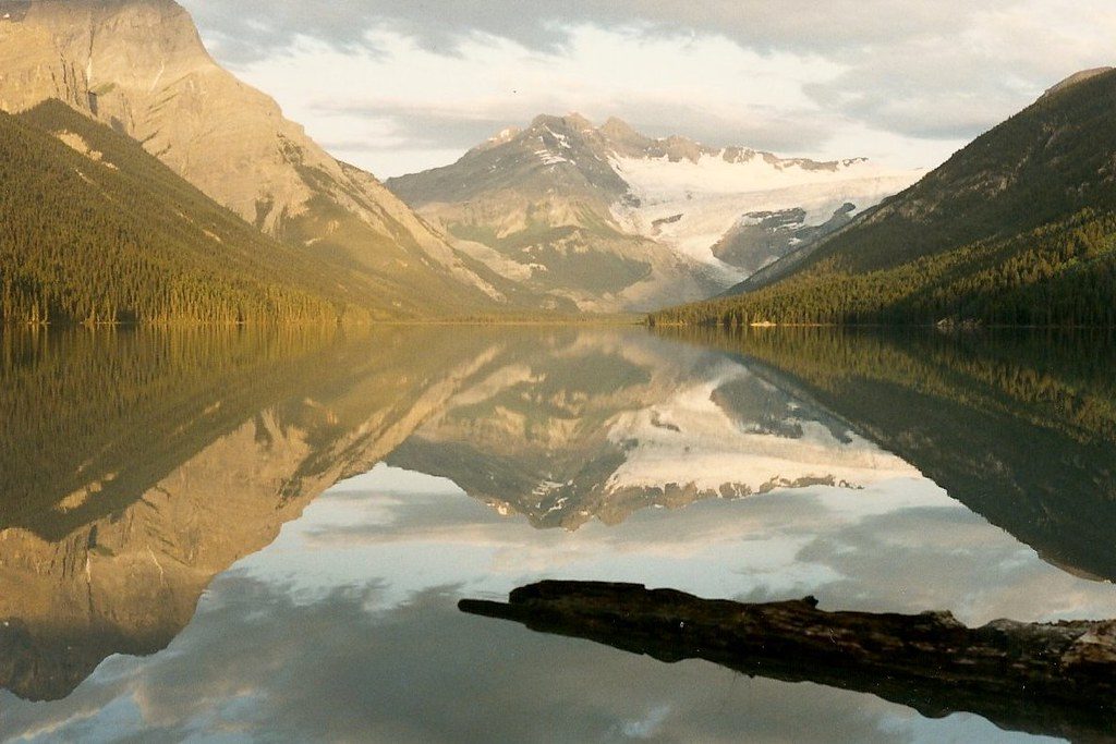
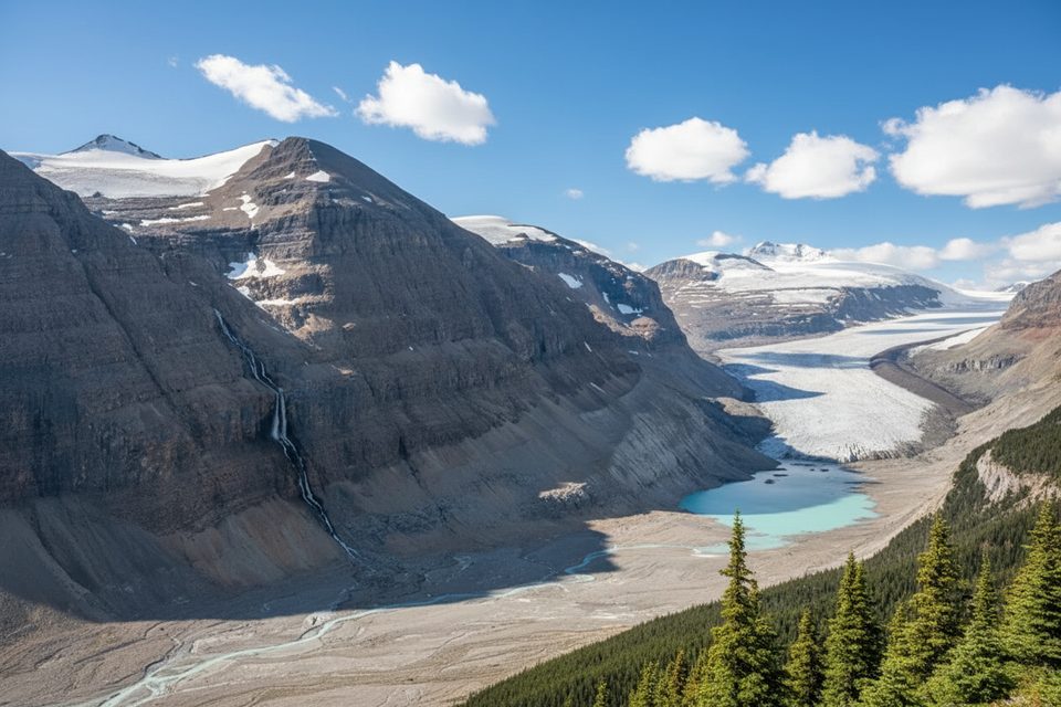
This is Banff’s sleeper hit if you’re allergic to crowds and happy to walk for your payoff. The Glacier Lake Trail is a moderate, mostly gentle 10.6–11.2 miles total (out-and-back) with roughly 230–238 m of climbing—more about distance than steepness. It’s beginner‑friendly, easy to follow, and rewards patience with a big turquoise lake framed by the Southeast Lyell Glacier.
From the signed trailhead off the Icefields Parkway (just north of the David Thompson Highway/Saskatchewan River Crossing), you ease into lodgepole pine forest regrown after a 1940 fire—soft tread, shaded, and tranquil. At 1.1 km you cross a sturdy bridge over the North Saskatchewan River, then continue to a broad overlook of the Howse River around 2.2 km—the red chairs here make a popular early turnaround if you’re short on time. Beyond, it’s a mellow forest-and-valley ramble with occasional peek‑a‑boo views until the trees part at Glacier Lake, one of Banff’s largest, with the Southeast Lyell Glacier anchoring the far end.
Solitude, scale, and simplicity. The trail is well‑maintained and quiet compared to Banff’s headliners, making it a great first backcountry day or an approachable backpacking intro. The lake itself is classic Rockies turquoise—glacial silt doing its thing—and the big‑mountain backdrop feels earned after the long, meditative approach.
There’s a designated backcountry campground at Glacier Lake—peaceful, scenic, and popular with newer backpackers. Reserve in advance through Parks Canada if you plan to stay overnight. Water is plentiful from rivers and the lake (treat/filter). Dogs are allowed on leash.
Late spring through early fall is prime. Early season (May–June) often means fewer people and a great first backpack while higher routes are still snowed in. Expect mosquitoes in early summer and lingering mud after rains; shoulder seasons can see snow hanging on in shaded stretches. On a day hike, consider a quick detour to Mistaya Canyon (about 6.4 km south of the trailhead) before or after your outing.
Bears roam this valley—carry bear spray and make noise. The grade is gentle, but it’s still a long forest approach with limited views until the lake. If you just want a sampler, the red‑chair viewpoint is a worthwhile short outing early on.
Signed trailhead parking off the Icefields Parkway, just north of the David Thompson Highway/Saskatchewan River Crossing.
Bears are present—carry bear spray and make noise. Expect mosquitoes in early summer and muddy sections after rain; lingering snow possible in spring.
Place
Place
Place
Place
Easy
Challenging
Challenging
Moderate

Parkwolf Tour Guide
