
Place · 0.9 mi away
Challenging
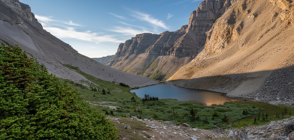
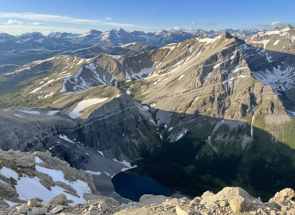
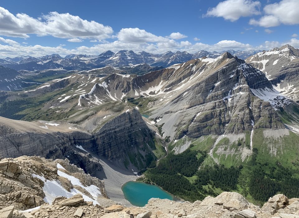
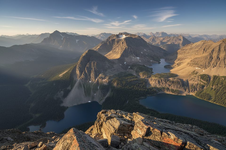
If you want the classic Banff progression—cool forest to turquoise lake to wide‑open alpine—this is it. Harvey Pass via Bourgeau Lake is a demanding, full‑day out‑and‑back with real mountain payoff: multiple lakes, playful marmots, and panoramic views that sweep across the Continental Divide and, on clear days, toward Mount Assiniboine. It’s quieter beyond Bourgeau Lake than the park’s headline hikes, and that upper basin is pure Rockies magic.
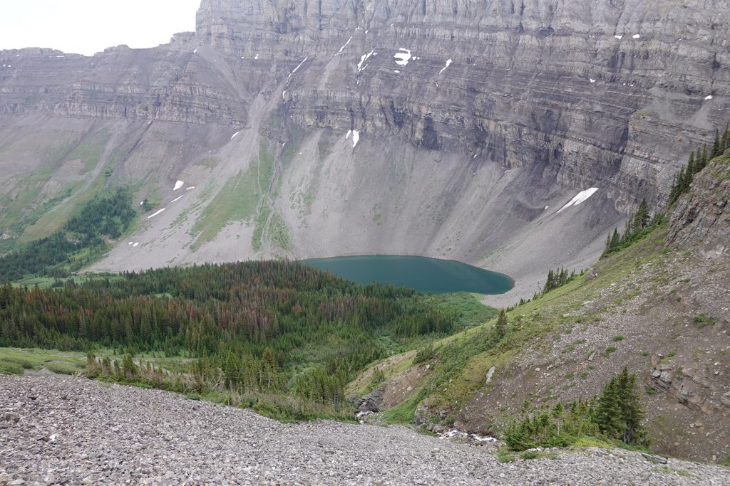
You’ll start from the Bourgeau Lake trailhead just off the Trans‑Canada Highway and climb forested switchbacks alongside Wolverine Creek. After a steady grind you pop out at Bourgeau Lake—already worth the effort. For Harvey Pass, continue along the right side of Bourgeau Lake and follow a rougher, steeper path past small tarns to Harvey Lake, then keep left along Harvey Lake for the final push to the pass. Expect 19–24 km total (about 12–15 miles) round trip; a good central estimate for most to the pass is roughly 21 km (13 miles). Elevation gain is substantial (around 1,300 m/4,200+ ft). Same route back.
The path to Bourgeau Lake is well‑graded. Above the lake, the character flips: the route is steeper, rougher, and at times faint or unmarked with loose rock and short scree bits. You’ll pass a series of alpine ponds and an area locals dub “Marmot Town” for frequent sightings. Snow and ice can linger well into summer up high—traction can be a day‑saver, and trekking poles help on the scree.
Below treeline, listen for birds and the rush of Wolverine Creek; higher up, it’s all about cirques, cliff bands, and glacial basins dotted with lakes. From Harvey Pass you get big‑sky vistas across the Lost Horse ridges toward the Divide, and on clear days a line of sight to Assiniboine. Wildlife reports include marmots galore, mountain goats on distant slopes, and various alpine birds. This is bear country—act accordingly.
Late June through early October is your window, with July–August offering peak wildflowers and the best chance of dry, snow‑free travel up high. Start early for cooler temps, good light on the lakes, and a parking spot. Storms can move in fast any month—carry layers and rain gear.
Bottom line: a long, tough day with A‑tier scenery and fewer crowds once you’re past the first lake. If steep, faint alpine trails aren’t your thing, turn around at Bourgeau Lake and you’ll still go home happy.
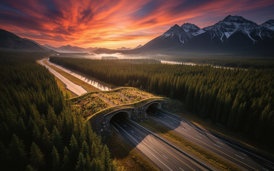
Bourgeau Lake trailhead parking lot just off the Trans‑Canada Highway near the Sunshine overpass; arrive early as it fills on peak summer days.
Above Bourgeau Lake the path is steep, rough, and at times unmarked with scree and lingering snow/ice. Weather turns fast and this is active bear habitat—carry bear spray and consider traction.
Place · 0.9 mi away
Place · 0.9 mi away
Place · 2.9 mi away
Place · 3.2 mi away
Challenging · 0 mi away
Challenging · 0 mi away
Moderate · 0 mi away
Challenging · 2.2 mi away

Parkwolf Tour Guide
