Parking
Bourgeau Lake parking area on the south side of the Trans-Canada Highway, about 13 km west of Banff; limited paved parking and two gender-neutral outhouses. Park only in the designated area—highway parking is illegal and unsafe.
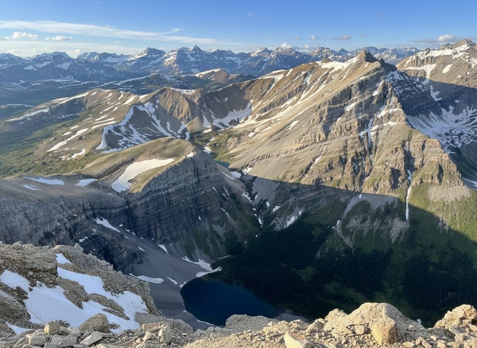
Banff National Park, AB
Long, rewarding push from forest to alpine lakes to a big view summit
Overview
This is the full Mount Bourgeau summit outing: a steady forest climb to Bourgeau Lake, a chain of small tarns and broad views at Harvey Pass, then a rocky final push to a 2,930 m summit. Plan on about 22.7 km (14.1 miles) total out-and-back, roughly 1,750 m of cumulative gain, and around 8–10 hours for a hard mountain day.
 Parkwolf’s verdictWhy go
Map & elevation
Plan your hike

The highest, rockiest slopes around here are a summer buffet for grizzly bears.
Banff Tour Guide
Parkwolf is a GPS audio tour guide for Banff National Park. As you drive, it chimes in with what’s ahead: hidden gems, upcoming stops, history, geology, and wildlife, right through your car’s speakers.
Recorded for this trailhead
Bourgeau Lake Trail: Forest to Alpine Hike“The trailhead you're about to pass is the start of the hike to Bourgeau Lake.”
Plays as you drive up to this trailhead in the Parkwolf Banff Tour Guide.
More stories near here in the app
“…Loved the commentary as you drove thru. I’m sure the app can do more than I know but the tips were very helpful. I’m gonna use it when we go to Banff next month.”


Trail guide
Start at the Bourgeau Lake parking area and follow the well-built trail through forest and across mountain streams. A bridge appears around 3.5 km and a large waterfall around 5.4 km. Bourgeau Lake is about 6.7 km one way. From the lake, the rougher upper trail climbs another 2.2 km to Harvey Pass, with small alpine lakes and wide Continental Divide views. The final route continues from the pass along the rocky west ridge to Mount Bourgeau’s summit.
The stored line follows the mapped physical corridor once, from the parking-area approach to Harvey Pass and then to the summit. Because this is an out-and-back, the visitor distance includes the return; the return corridor is not duplicated in the map line.
Above Harvey Pass, the route becomes rocky and more exposed, with cairns and a boot-beaten path leading toward the summit. The upper section can feel like a scramble, loose rock may be slippery, and route-finding becomes more important than on the lake approach. The summit has a weather/repeater station and expansive views over the Bow Valley, Lake Louise-area peaks and the Continental Divide.
Wildlife
 122 sightingsGrizzly BearMost seen around 6 AMSighting map
 150 sightingsBrown BearMost seen around 6 PMSighting map
 44 sightingsGray WolfMost seen around 6 AMSighting map
 12 sightingsRiver OtterMost seen around 8 PMSighting map
 67 sightingsMooseMost seen around 8 PMSighting map
 465 sightingsBlack BearMost seen around 9 PMSighting map
Sighting maps show where each species has been reported across Banff. Wildlife moves, so no sighting is guaranteed.
Keep exploring
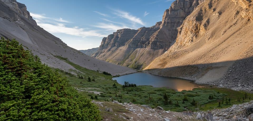 ChallengingHarvey Pass via Bourgeau Lake20.9 km · 8 hr · At the trailheadBig payoff alpine day: lakes, marmots, and huge views from the pass
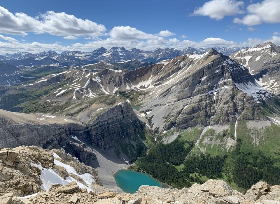 ChallengingMount Bourgeau via Harvey Pass24.9 km · 9.5 hr · At the trailheadBig-day classic: lakes, Harvey Pass, and a panoramic summit.
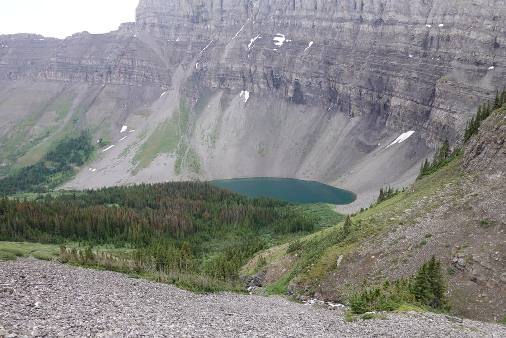 ModerateBourgeau Lake13.4 km · 6 hr · At the trailheadSteady forest climb to a blue-green cirque lake in Banff
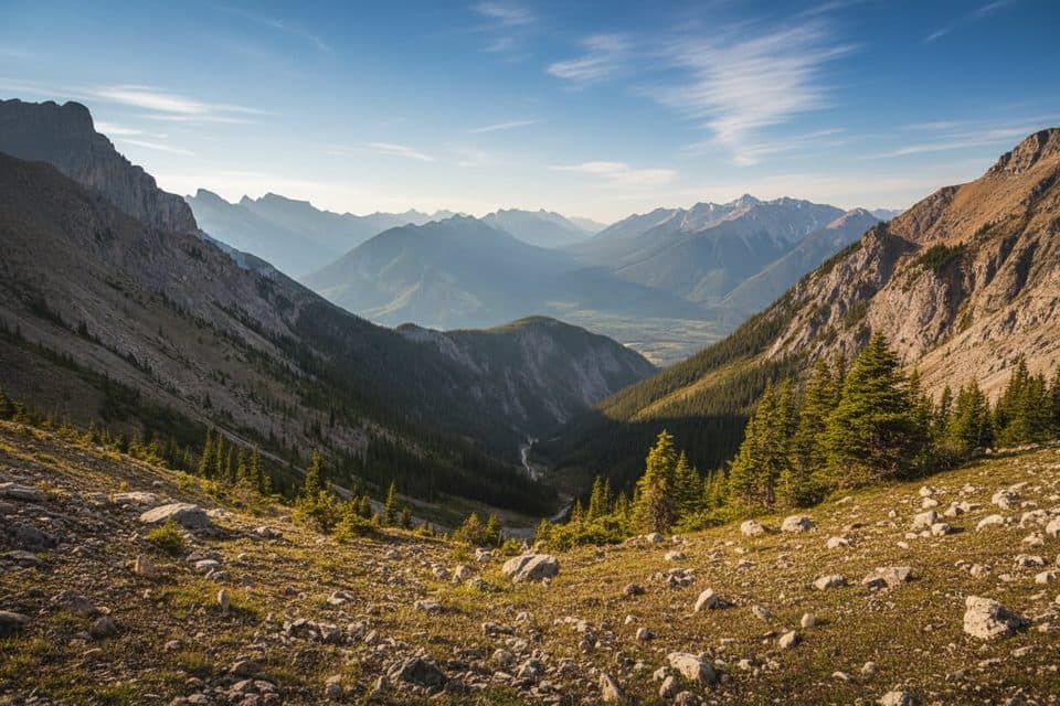 ChallengingMount Cory Route9.2 km · 6 hr · 3.4 km awayVery hard summit scramble with steep loose terrain and huge Bow Valley views.
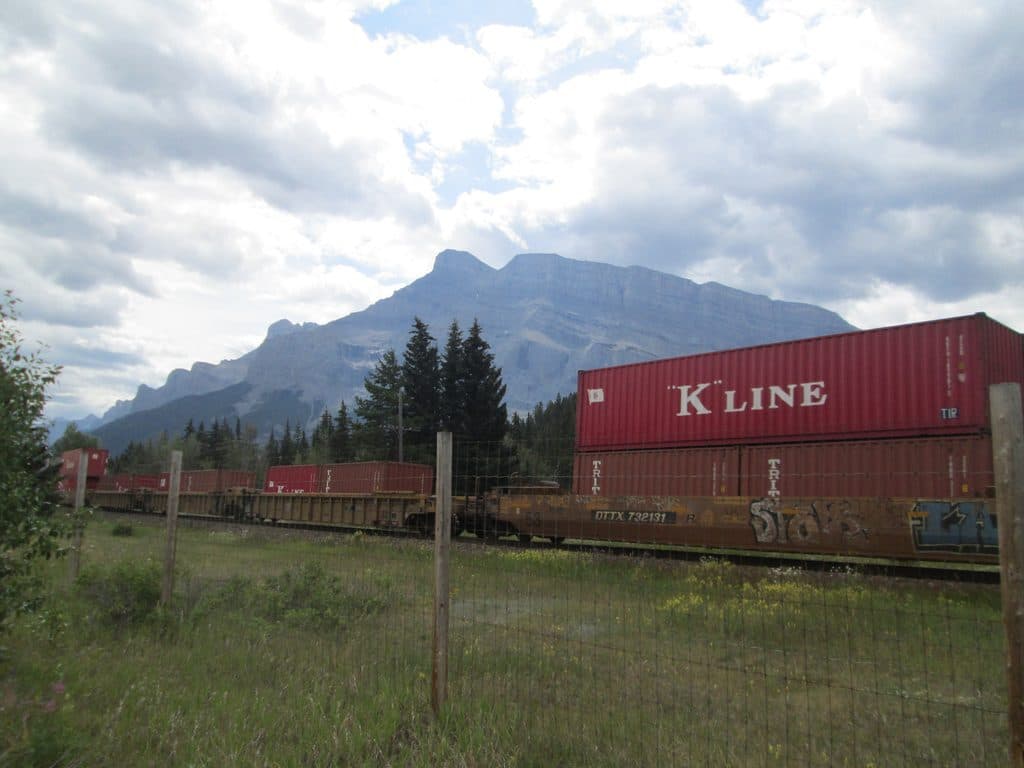 EasyBanff Legacy Trail26.9 km · 3 hr · 5.2 km awayPaved Banff–Canmore point-to-point route with big-mountain views
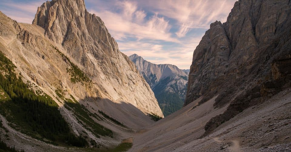 ChallengingCory Pass – Edith Pass Loop11.7 km · 6 hr · 5.3 km awayA serious alpine loop through Gargoyle Valley and two high passes
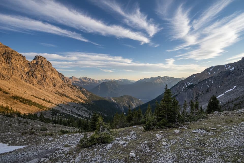 ChallengingMount Edith Route12.9 km · 10 hr · 5.4 km awayThree-peak Mount Edith scramble with exposed route-finding above Gargoyle Valley.ModerateHealy Pass to Egypt Lake24.8 km · 8.5 hr · 6.3 km awayClassic meadow-and-lake epic over Healy Pass into quiet Egypt Lake
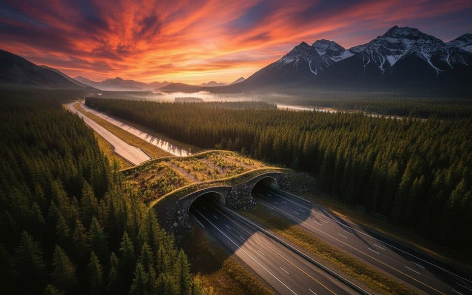 Sight · 1.4 km awayWildlife Crossing ExhibitVegetated wildlife overpass that made the highway markedly safer
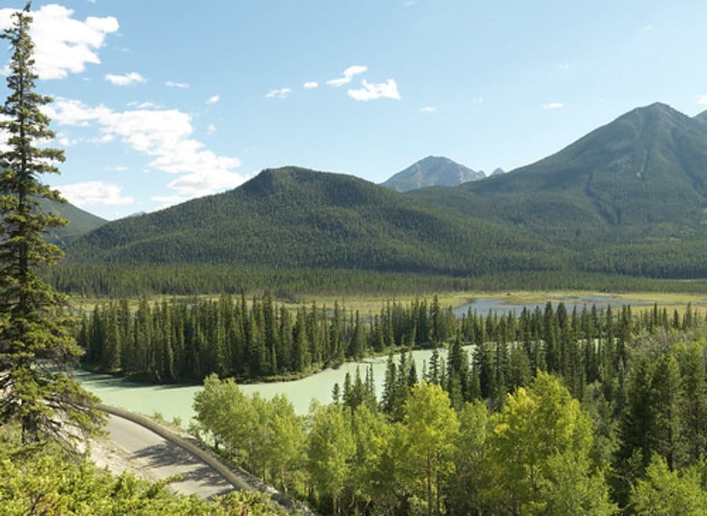 Picnic area · 1.4 km awayMuleshoeQuiet Bow Valley picnic stop with montane forest and wildlife
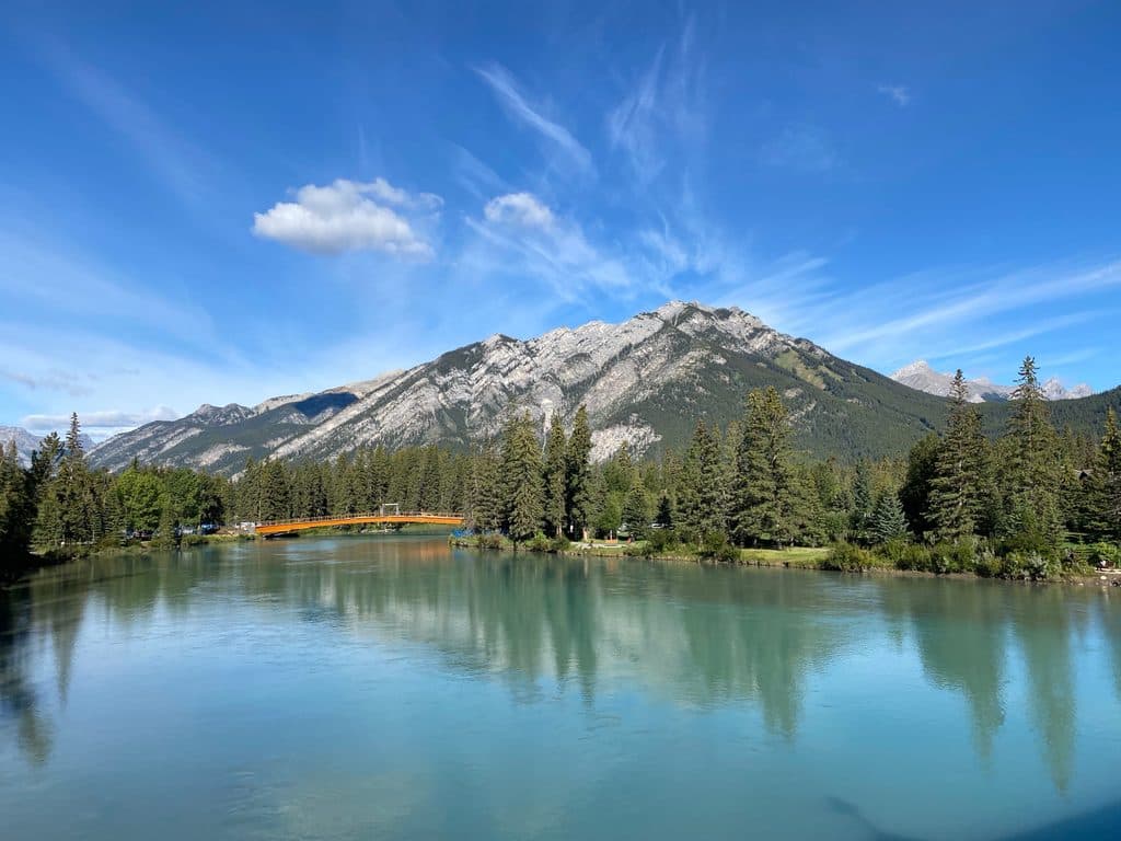 Sight · 4.7 km awayMount CorySteep scramble to big views over Louis, Edith and Gargoyle Valley
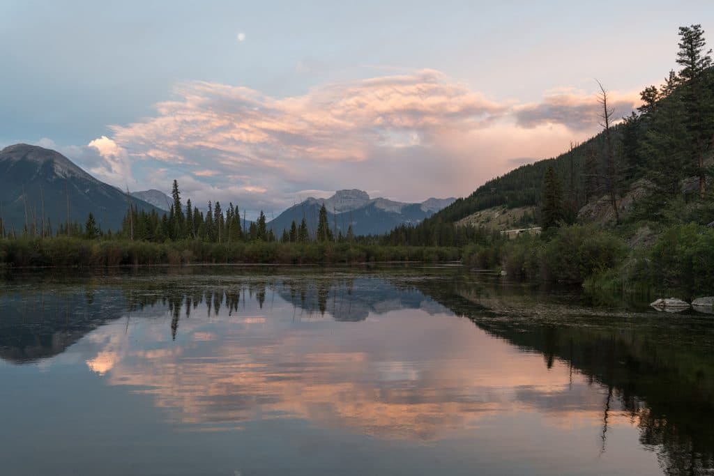 Sight · 5.1 km awayMount BourgeauA big, non-technical summit day with lakes, passes, and huge views
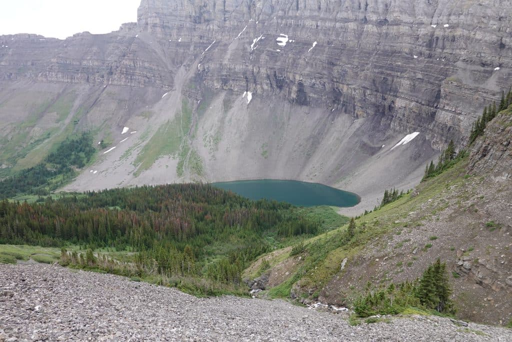 Sight · 5.5 km awayBourgeau LakeRock-rimmed alpine cirque with a waterfall approach and fall larches
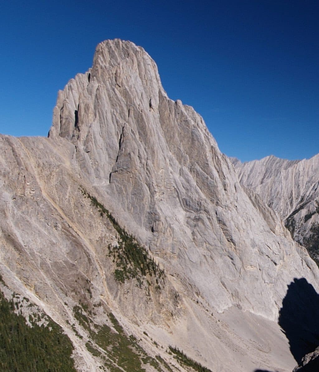 Sight · 5.7 km awayCory PassBig views and wild rock spires on a tough alpine loop
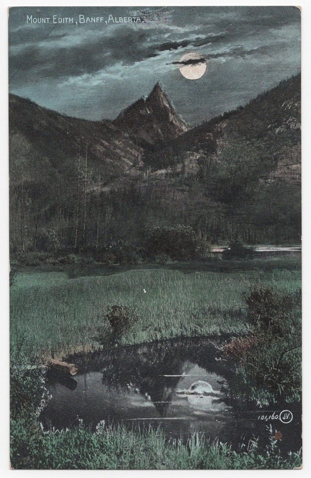 Sight · 5.9 km awayMount EdithThree-summit limestone scramble with big views above Cory Pass
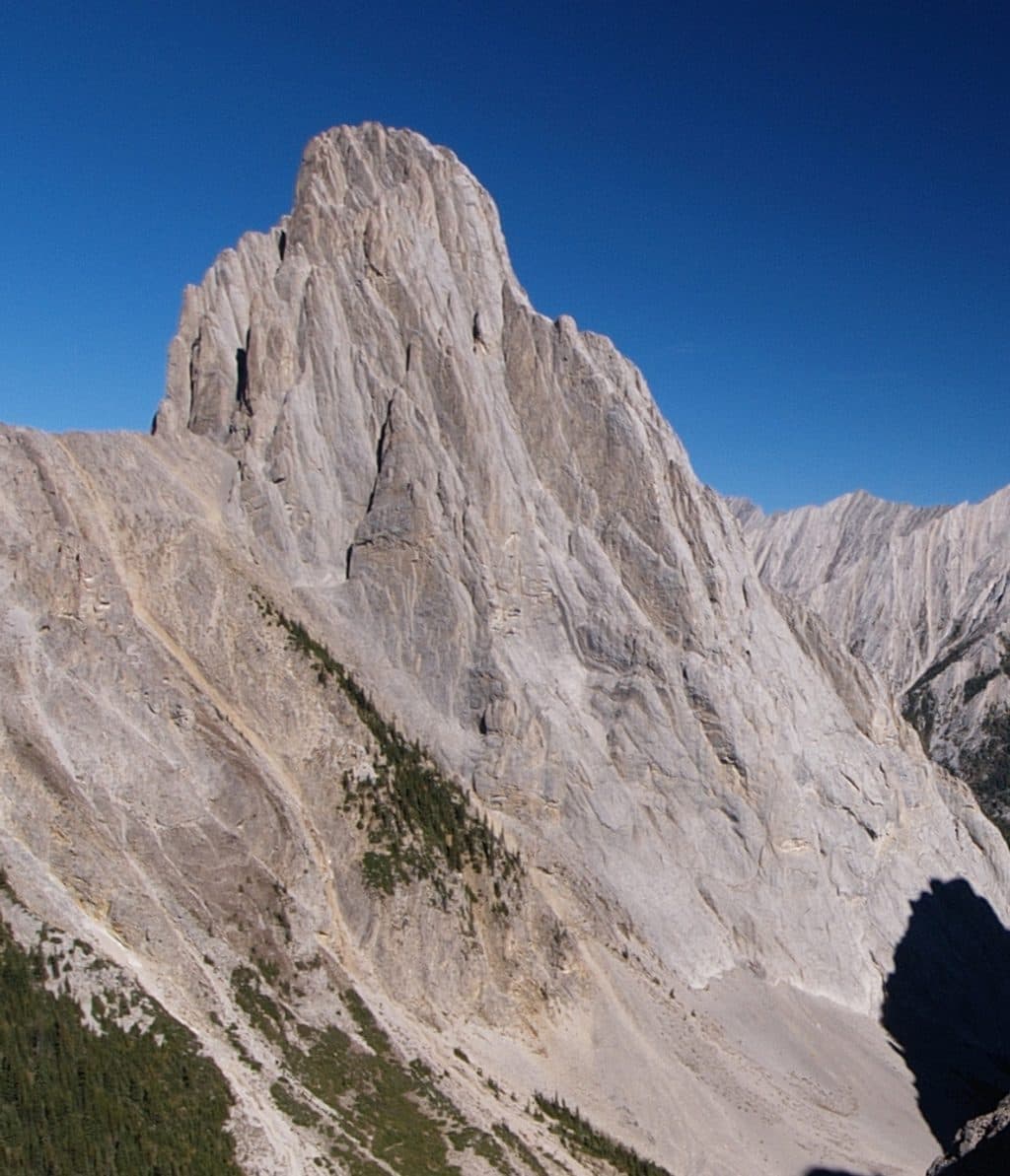 Sight · 6.3 km awayMount LouisIconic limestone spire and historic multi-pitch climbing objective
Parkwolf’s Banff ranking
The audio tour guide for the drive, plus offline maps, trails, and wildlife heatmaps for when the signal drops.





