Parking
Small, signed Bourgeau Lake/Harvey Pass lot directly off the Trans‑Canada Highway between Banff and Lake Louise; it fills early and highway parking isn’t allowed.
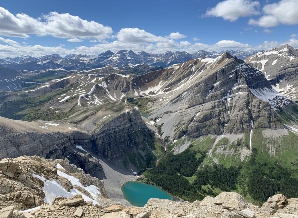
Banff National Park, AB
Big-day classic: lakes, Harvey Pass, and a panoramic summit.
Overview
If you want one hike that delivers it all—forest, waterfalls, teal lakes, alpine meadows, a broad pass, and a true summit—this is it. The full Mount Bourgeau via Harvey Pass outing is about 15.5 miles (25 km) total, out-and-back, with roughly 5,000 ft (1,500 m) of gain. It’s a long, strenuous day, but the payoff is enormous and the crowds thin dramatically after the first lake.
 Parkwolf’s verdictWhy go
Map & elevation
Plan your hike

The highest, rockiest slopes around here are a summer buffet for grizzly bears.
Banff Tour Guide
Parkwolf is a GPS audio tour guide for Banff National Park. As you drive, it chimes in with what’s ahead: hidden gems, upcoming stops, history, geology, and wildlife, right through your car’s speakers.
Recorded for this trailhead
Bourgeau Lake Trail: Forest to Alpine Hike“The trailhead you're about to pass is the start of the hike to Bourgeau Lake.”
Plays as you drive up to this trailhead in the Parkwolf Banff Tour Guide.
More stories near here in the app
“…Loved the commentary as you drove thru. I’m sure the app can do more than I know but the tips were very helpful. I’m gonna use it when we go to Banff next month.”


Trail guide
From the signed parking along the Trans‑Canada, the trail climbs steadily through forest to Bourgeau Lake. It’s straightforward walking, but it’s a grind and views are limited until the lake—expect to feel the elevation in your legs well before your eyes get their reward. Bourgeau Lake sits in a rocky cirque and is gorgeous in mid-summer and fall. Beyond the lake, the grade steepens as you pass a string of small tarns en route to Harvey Pass, where the world opens up to big alpine vistas and blue lakes dotting the saddle. Many hikers sensibly turn around here; if you’ve got more in the tank, continue on a rougher ridge trail and loose scree to Mount Bourgeau’s summit for full 360-degree views of the Bow Valley and distant peaks (clear days can reveal heavy hitters like Mount Assiniboine).
Underfoot it’s well-built dirt to the lake, then rockier, looser tread above. The summit push is steep and can be windy and exposed; poles help on the descent. Navigation is obvious to the lake, a bit less defined above—still clear in summer, but snow can obscure the track early season. Wildlife sightings are common: marmots whistling from boulders, pikas in the talus, and sometimes mountain goats higher up. Crowds are common to the lake; beyond that, you’ll likely get long stretches of solitude.
Is it worth the effort? Absolutely—this is one of the park’s best big-view day hikes. Just know you’ll pay your dues with a long forested approach before the scenery really spikes. The trade-off is real solitude once you leave most folks at Bourgeau Lake.
You’re traveling classic Rockies limestone and shale through glacially carved cirques and hanging valleys. The peak honors 19th‑century botanist Eugène Bourgeau; Harvey Pass takes its name from an early local prospector.
Wildlife
 122 sightingsGrizzly BearMost seen around 6 AMSighting map
 150 sightingsBrown BearMost seen around 6 PMSighting map
 44 sightingsGray WolfMost seen around 6 AMSighting map
 12 sightingsRiver OtterMost seen around 8 PMSighting map
 67 sightingsMooseMost seen around 8 PMSighting map
 465 sightingsBlack BearMost seen around 9 PMSighting map
Sighting maps show where each species has been reported across Banff. Wildlife moves, so no sighting is guaranteed.
Keep exploring
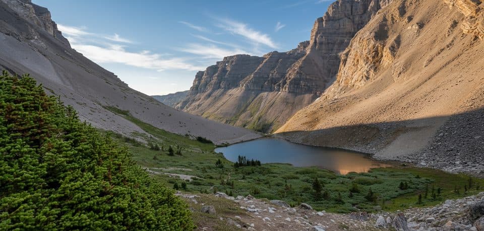 ChallengingHarvey Pass via Bourgeau Lake20.9 km · 8 hr · At the trailheadBig payoff alpine day: lakes, marmots, and huge views from the pass
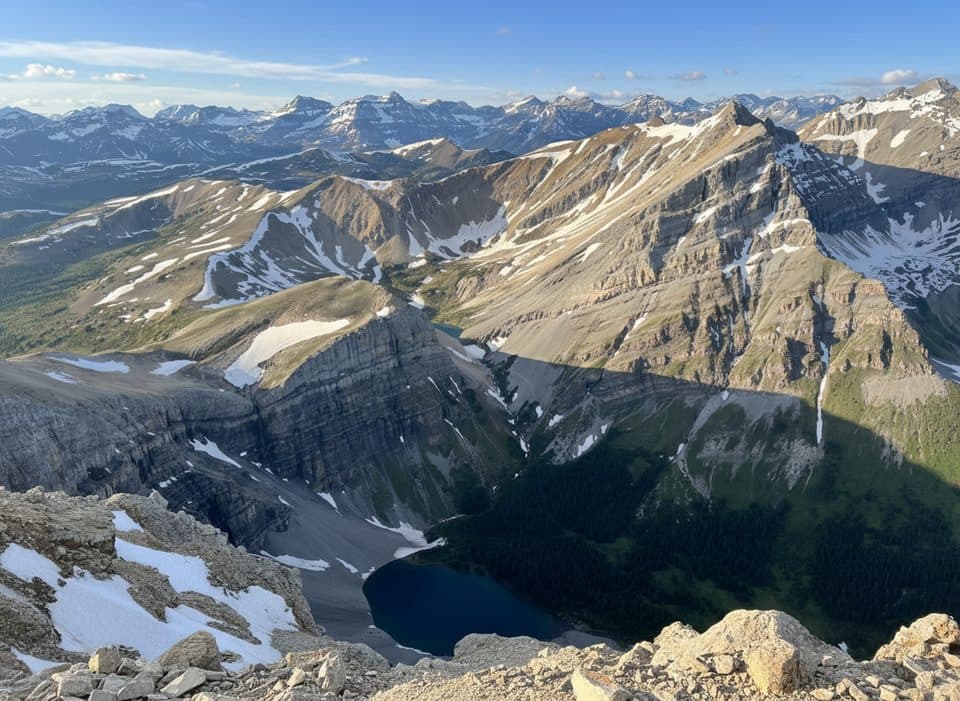 ChallengingMt Bourgeau Rt22.7 km · 8.8 hr · At the trailheadLong, rewarding push from forest to alpine lakes to a big view summit
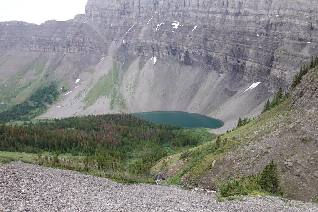 ModerateBourgeau Lake13.4 km · 6 hr · At the trailheadSteady forest climb to a blue-green cirque lake in Banff
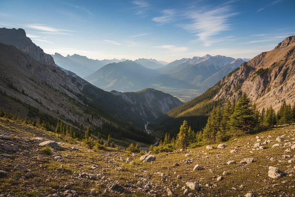 ChallengingMount Cory Route9.2 km · 6 hr · 3.4 km awayVery hard summit scramble with steep loose terrain and huge Bow Valley views.
 EasyBanff Legacy Trail26.9 km · 3 hr · 5.2 km awayPaved Banff–Canmore point-to-point route with big-mountain views
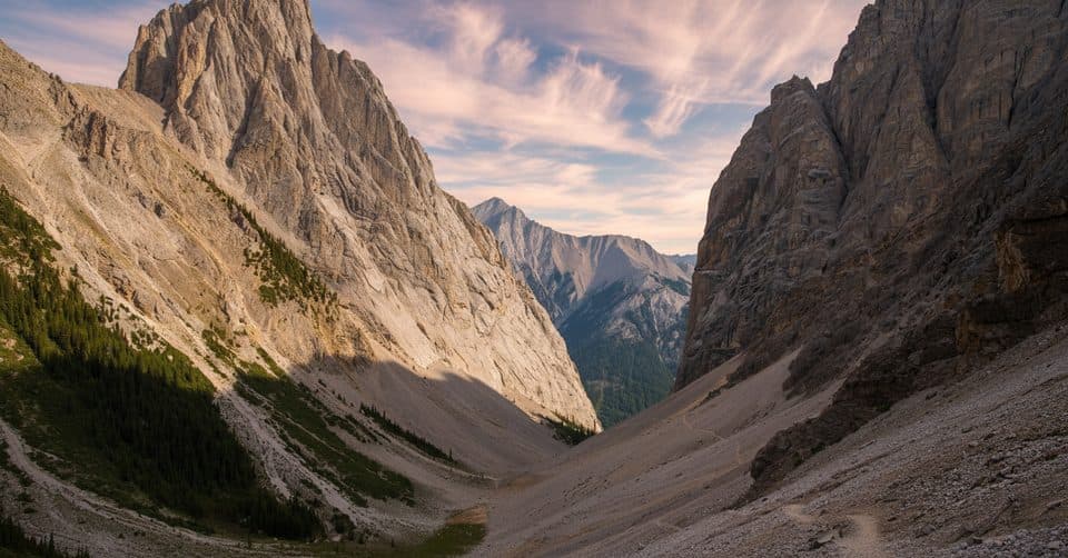 ChallengingCory Pass – Edith Pass Loop11.7 km · 6 hr · 5.3 km awayA serious alpine loop through Gargoyle Valley and two high passes
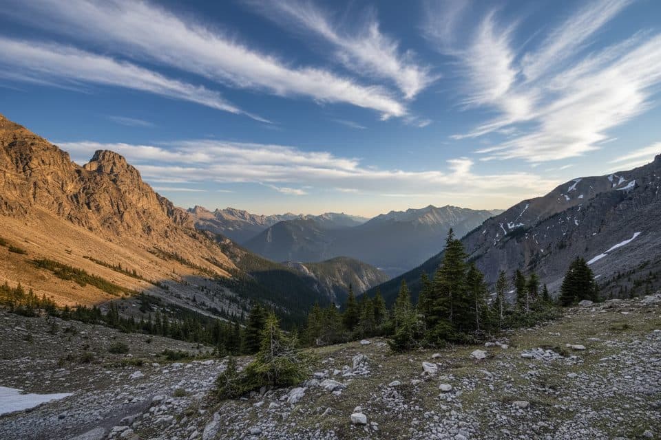 ChallengingMount Edith Route12.9 km · 10 hr · 5.4 km awayThree-peak Mount Edith scramble with exposed route-finding above Gargoyle Valley.ModerateHealy Pass to Egypt Lake24.8 km · 8.5 hr · 6.3 km awayClassic meadow-and-lake epic over Healy Pass into quiet Egypt Lake
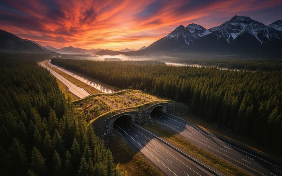 Sight · 1.4 km awayWildlife Crossing ExhibitVegetated wildlife overpass that made the highway markedly safer
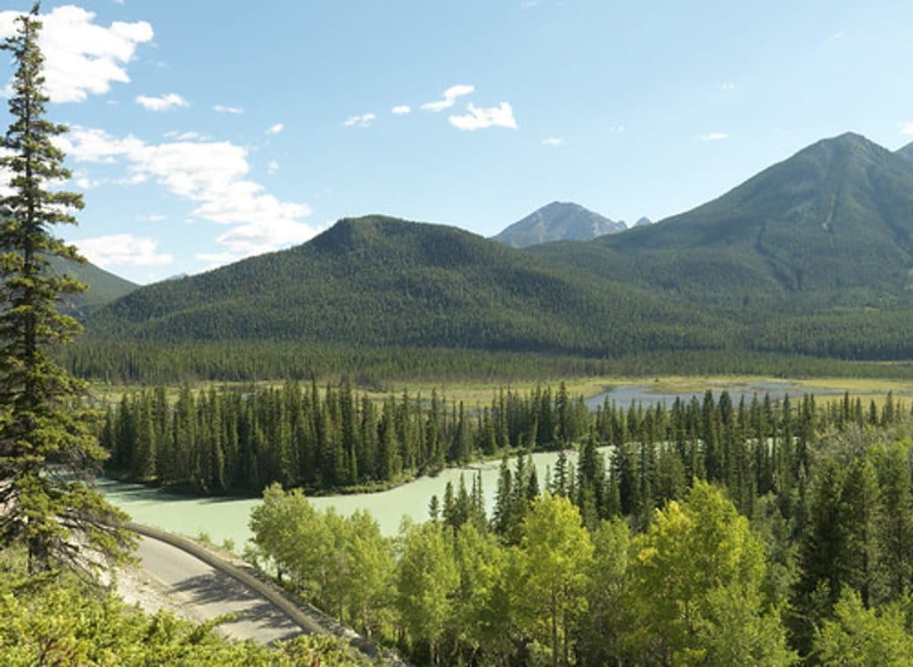 Picnic area · 1.4 km awayMuleshoeQuiet Bow Valley picnic stop with montane forest and wildlife
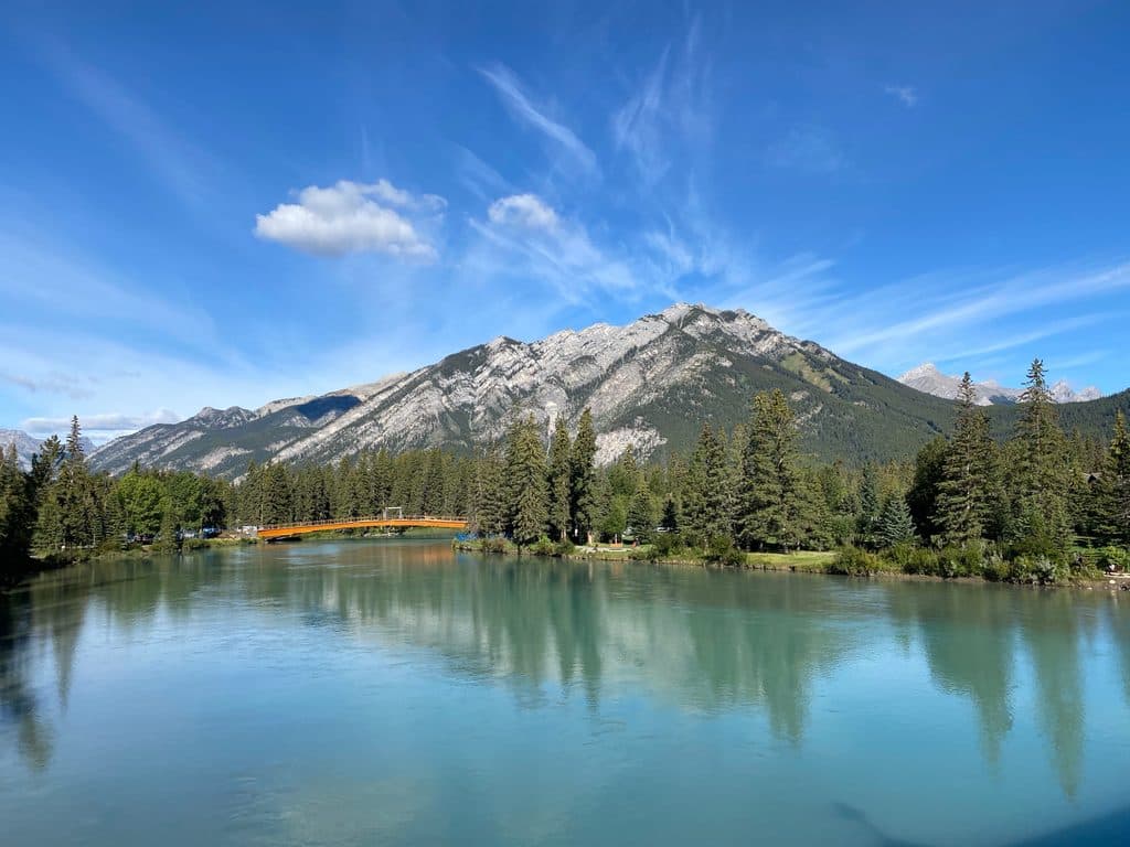 Sight · 4.7 km awayMount CorySteep scramble to big views over Louis, Edith and Gargoyle Valley
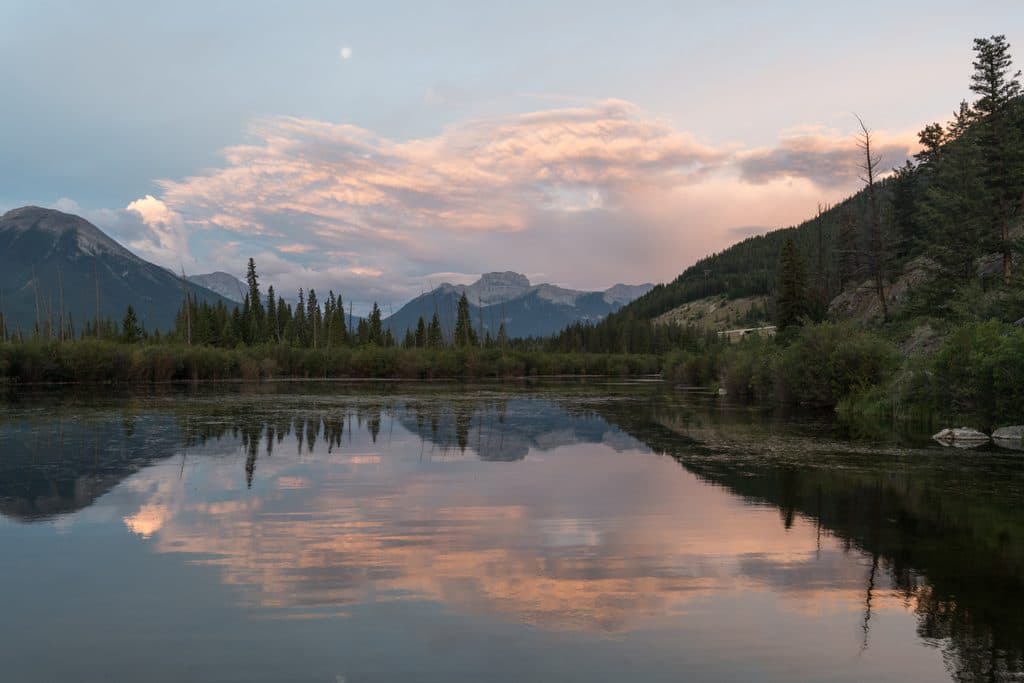 Sight · 5.1 km awayMount BourgeauA big, non-technical summit day with lakes, passes, and huge views
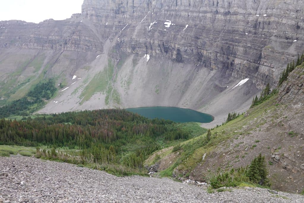 Sight · 5.5 km awayBourgeau LakeRock-rimmed alpine cirque with a waterfall approach and fall larches
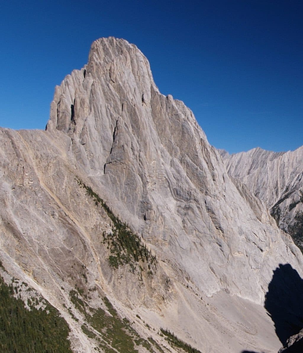 Sight · 5.7 km awayCory PassBig views and wild rock spires on a tough alpine loop
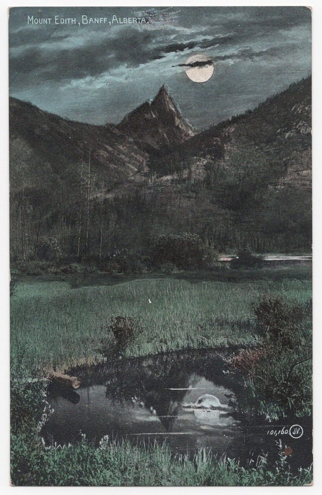 Sight · 5.9 km awayMount EdithThree-summit limestone scramble with big views above Cory Pass
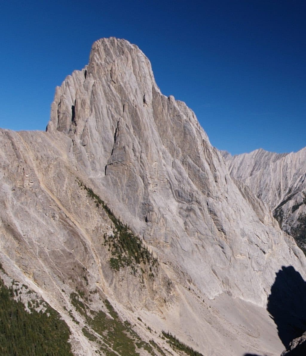 Sight · 6.3 km awayMount LouisIconic limestone spire and historic multi-pitch climbing objective
Parkwolf’s Banff ranking
The audio tour guide for the drive, plus offline maps, trails, and wildlife heatmaps for when the signal drops.





