Banff National Park, AB

Helen Lake

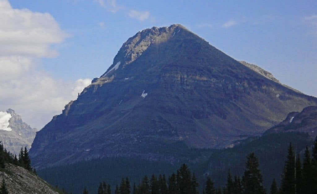
Forest climb to alpine meadows and a serene lake beneath Cirque Peak.

Length
11.7km
Time
4.5hr
Elev. change
412m
Difficulty
Moderate
  • Dogs allowed
  • High point 2,389 m
  • #19 of 177 in Banff

Hear the audio tour

Crowfoot Glacier's Missing Toe

Overview

About Helen Lake

Why go

  • Classic progression from forest to open alpine meadows and Helen Lake.
  • Moderate, non-technical route with optional extensions beyond the lake for experienced hikers.

Heads up

  • Limited trailhead parking fills early; nearby overflow may add a short walk.
  • Mud, roots, mosquitoes, and rapidly changing mountain weather are common considerations.
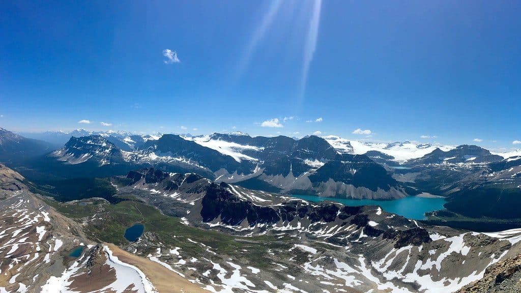
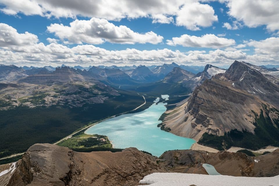
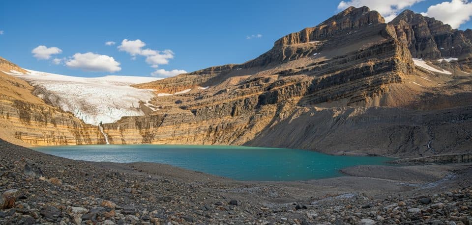
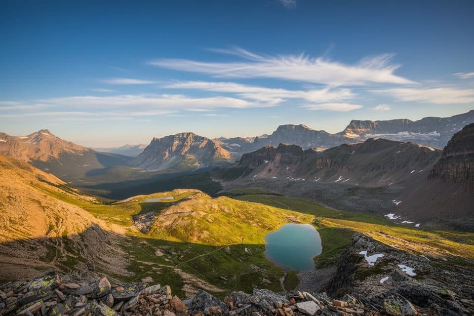
Helen Lake packs classic Banff scenery into one hike: spruce-fir forest, open subalpine meadows, and a quiet alpine lake beneath the rugged Cirque Peak area. It is a moderate, out-and-back route with a steady climb and a rewarding transition into broad mountain views.
Parkwolf’s verdictWhy hike it

Map & elevation

The route

Loading the Banff map
Full map
Elevation1,977–2,389 m
TrailheadHelen Lake Trailhead51.66401, -116.43858
Keep this map with you offline in the Parkwolf app

Plan your hike

Before you go

Parking

Small parking area for the Helen Lake Trailhead on the Icefields Parkway, about 33 km north of the Lake Louise junction and across from the Crowfoot Glacier Viewpoint. Spaces are limited; nearby Crowfoot Glacier Viewpoint parking may serve as overflow.

Best time to go

Prime season is July through September. Early summer can hold lingering snow at higher elevations, while October can bring cold and early winter conditions. August is often the best month for wildflowers. Start early for easier parking, cooler uphill hiking, and softer light; shade is limited after the route leaves the forest.

Safety

Active bear country—carry bear spray and make noise; dogs must stay leashed. Expect muddy, rooty sections, strong insects near the lake in midsummer, and rapid weather changes. The route is an out-and-back to Helen Lake; Dolomite Pass and Cirque Peak are longer, steeper optional extensions involving route-finding and, for Cirque Peak, scrambling.

8 active Banff alerts

  • ClosureLake Louise area trails and access areas closed for wildlifeMentions Lake Louise, referenced in this guideThe Bow River Trail, Louise Creek Trail, lower Tramline Trail, and Great Divide Trail parking area are closed because the closure prevents wildlife from being displaced from an essential travel…Official details
  • ClosureRed Deer River valley bottom closed for ceremonial bison harvestThe Red Deer River valley bottom is closed to the public during an Indigenous ceremonial bison harvest taking place through November.Official details
See all 8 alerts
A park ranger sits on a dash-mounted phone, talking, as Parkwolf’s Tour Guide plays “Army Cutworm Moths: A Grizzly Bear Buffet” on Grand Loop Road below Dunraven Pass in Yellowstone
Parkwolf Tour GuideThe highest, rockiest slopes around here are a summer buffet for grizzly bears.

Banff Tour Guide

Your drive to Helen Lake, narrated.

Parkwolf is a GPS audio tour guide for Banff National Park. As you drive, it chimes in with what’s ahead: hidden gems, upcoming stops, history, geology, and wildlife, right through your car’s speakers.

Recorded for this area

Crowfoot Glacier's Missing Toe
Listen
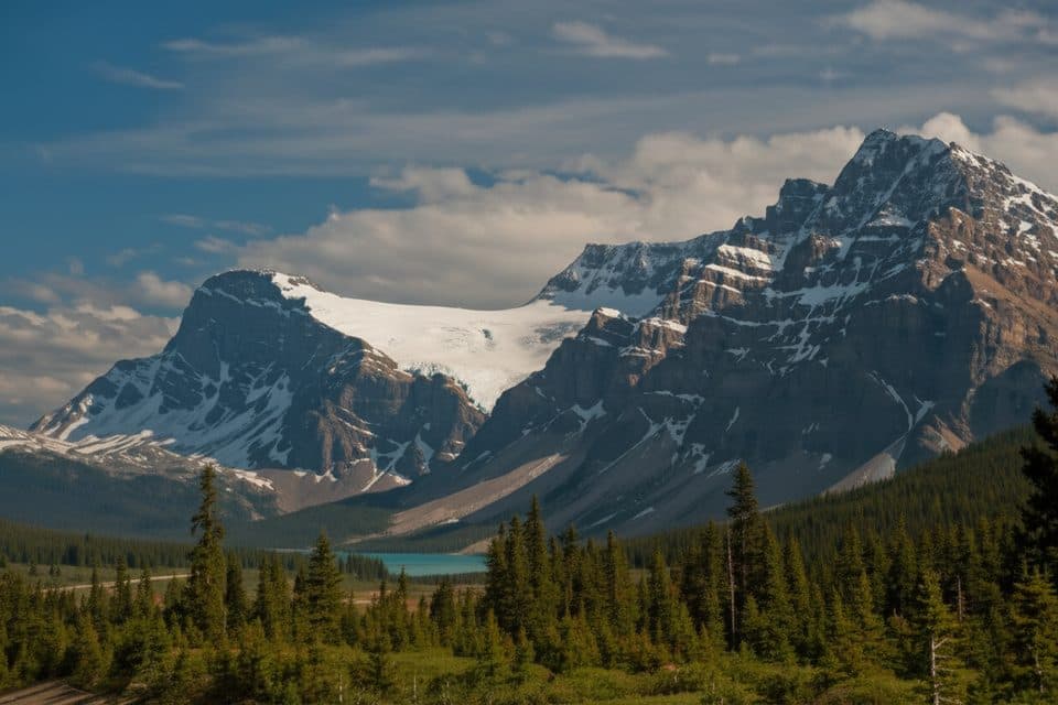
“The viewpoint coming up offers a great, easy look at Crowfoot Glacier. It was named because it originally had three sections of ice that looked just like a crow's foot.”

Plays on the road 0.1 km from the trailhead in the Parkwolf Banff Tour Guide.

More stories near here in the app

  • Helen Lake & Dolomite Pass: Fossils in the Meadows
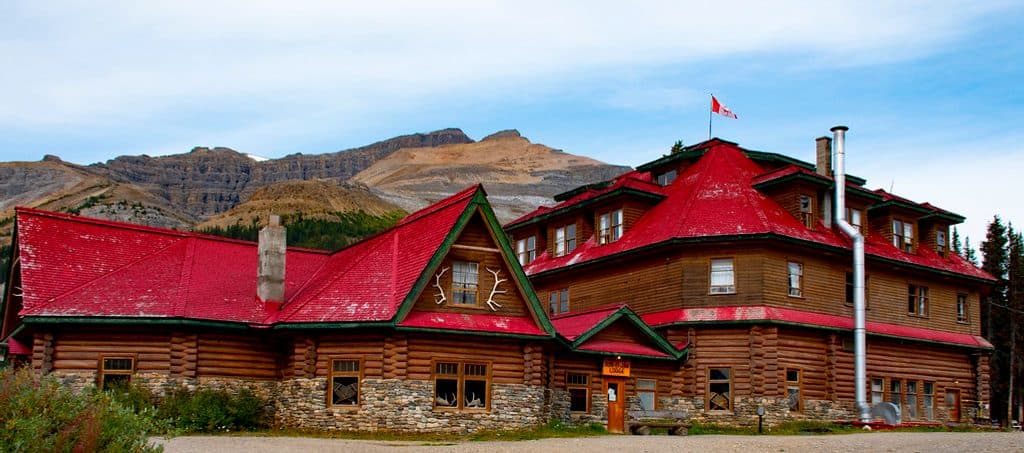
  • Historic Num-Ti-Jah Lodge at Bow Lake
  • The Rockies’ Hidden Ice: Rock Glaciers
  • Dolomite Country: The Magnesium Rock Shaping This Valley
  • 178 audio storiesacross Banff’s roads, triggered by GPS as you drive
  • Wildlife heatmapsfor Grizzly Bear, Brown Bear, Gray Wolf, and 13 more
  • Works offlinemaps, 177 trails, 236 places, and audio download before you lose signal
  • CarPlay readysimple controls built for the drive
★★★★★
“…Loved the commentary as you drove thru. I’m sure the app can do more than I know but the tips were very helpful. I’m gonna use it when we go to Banff next month.”
tesja22App Store review
Download Parkwolf on the App StoreGet Parkwolf on Google Play

4.7 from 8,600+ ratings

Trail guide

Hiking Helen Lake

The route experienceFrom the Helen Lake Trailhead, the path climbs through forest along the Icefields Parkway…

From the Helen Lake Trailhead, the path climbs through forest along the Icefields Parkway corridor before crossing Helen Creek on a bridge. The route then opens into subalpine meadows with wildflowers and wide views, continuing to Helen Lake beneath the surrounding ridges. The standard visitor route is approximately 5.9 km one way, or 11.7 km (7.3 miles) round trip, with about 530 m (1,740 ft) of elevation gain. Allow roughly 4 to 5 hours for the round trip.

The stored route ends at Helen Lake. Dolomite Pass and Cirque Peak are longer, steeper optional extensions beyond the lake and are not part of this trail's standard route; Cirque Peak in particular involves scrambling, exposure, and route-finding for experienced hikers.


What you’ll seeLook for hoary marmots and ground squirrels around the meadows and talus, with occasional…

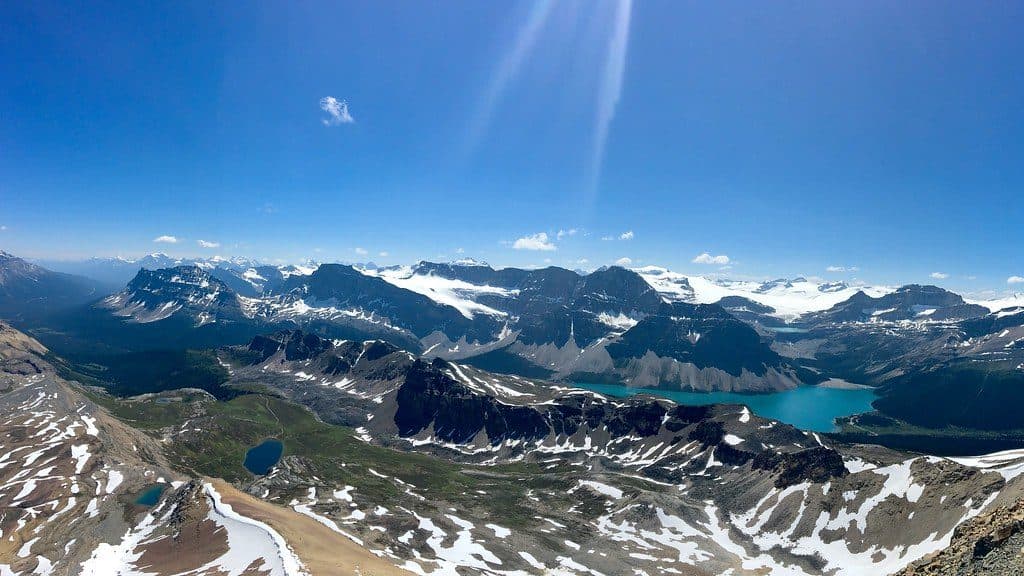
Look for hoary marmots and ground squirrels around the meadows and talus, with occasional mountain goats on the surrounding slopes. The limestone and dolomite cliffs, alpine meadows, and lake basin show the classic glacial and geological character of the Canadian Rockies.

Practical tipsCarry bear spray and make noise in active bear country; dogs must stay leashed.
  • Carry bear spray and make noise in active bear country; dogs must stay leashed.
  • Expect roots and mud in the lower forest, especially after rain; sturdy footwear helps.
  • Insects can be intense near the lake in midsummer; bring repellent and consider a head net.
  • Mountain weather changes quickly, so bring layers and check Parks Canada guidance before setting out.
  • The small trailhead lot fills early; plan for a possible short approach from nearby overflow parking.

Wildlife

Wildlife in Banff

All Banff wildlife maps

Sighting maps show where each species has been reported across Banff. Wildlife moves, so no sighting is guaranteed.

Keep exploring

Near Helen Lake

See it all on the map

Trails that start nearby

Places near the trailhead

Parkwolf’s Banff ranking

Top-rated trails in Banff

All 177 trails
  1. 1Moraine Lake RockpileEasy · 0.8 km
  2. 2Larch Valley and Sentinel PassChallenging · 11.1 km
  3. 3Sentinel PassChallenging · 11.3 km
  4. 4Parker Ridge TrailEasy · 5.5 km
  5. 5Big Beehive TrailModerate · 10.5 km
  6. 6Sunshine Meadows LoopModerate · 11.9 km

Take Parkwolf to Banff.

The audio tour guide for the drive, plus offline maps, trails, and wildlife heatmaps for when the signal drops.

4.7 from 8,600+ ratings

Download Parkwolf on the App StoreGet Parkwolf on Google Play