Parking
Johnston Canyon day-use parking off Bow Valley Parkway (Hwy 1A) near Johnston Canyon Lodge; fills early in summer. Roam Transit Route 9 is an alternative.
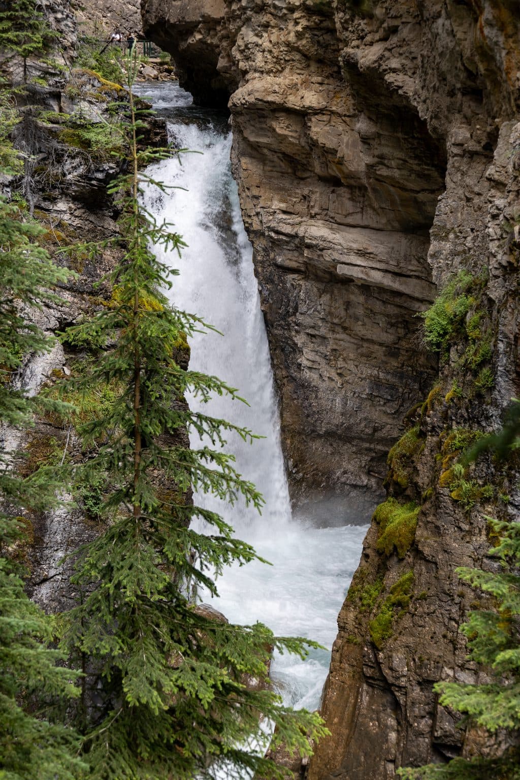
Banff National Park, AB
Short, easy canyon walk to a roaring waterfall and spray-filled cave
Overview
If you want maximum wow for minimal effort, Lower Falls delivers. This short, easy stroll threads through a narrow limestone gorge beside frothing Johnston Creek, with metal catwalks bolted into the cliff and a finale at a thundering cascade. It’s wildly popular for good reason—come at the right time and it’s magic.
 Parkwolf’s verdictWhy hike it
Map & elevation
Plan your hike

The highest, rockiest slopes around here are a summer buffet for grizzly bears.
Banff Tour Guide
Parkwolf is a GPS audio tour guide for Banff National Park. As you drive, it chimes in with what’s ahead: hidden gems, upcoming stops, history, geology, and wildlife, right through your car’s speakers.
Recorded for this trailhead
Johnston Canyon's Famous Catwalks and Waterfalls“Just ahead is Johnston Canyon, one of the most famous walks in the park.”
Plays as you drive up to this trailhead in the Parkwolf Banff Tour Guide.
More stories near here in the app
“…Loved the commentary as you drove thru. I’m sure the app can do more than I know but the tips were very helpful. I’m gonna use it when we go to Banff next month.”


Trail guide
It’s an out‑and‑back of about 1.5 miles total (2.4 km) with roughly 164 ft/50 m of gain. Expect a well‑maintained path and long stretches of boardwalk/catwalk clinging to the canyon walls. Plan on about 1 hour round‑trip if you don’t linger; more if you queue for the tunnel viewpoint.
You’re in a classic limestone slot: towering walls, churning aqua‑to‑emerald water, moss, ferns, and cool canyon air. The highlight is the bridge opposite Lower Falls and the short tunnel/cave that pops you beside the spray—bring a lens cloth and be ready to get wet. The catwalks give you eagle‑eye angles over Johnston Creek the whole way.
This is one of Banff’s busiest walks. Midday in summer can feel like a moving line, with bottlenecks at narrow catwalks and long waits (often 20–30+ minutes) for the tunnel. Beat the rush by starting early (before 9 am) or late (after 7 pm), or come in shoulder season.
Park at the Johnston Canyon day‑use area off the Bow Valley Parkway (Hwy 1A), near Johnston Canyon Lodge. Parking is limited and fills fast in peak months—arrive early or consider Roam Transit Route 9. Restrooms are at/near the trailhead; don’t count on facilities once you’re on the trail. Leashed dogs are allowed. You’ll need a Parks Canada entry pass (no separate trail permit).
The tunnel and boardwalks can be wet and slippery; in winter, many sections are icy—bring traction. It’s bear country; encounters are unlikely on this busy path, but carry bear spray and follow standard safety practices. The route includes stairs and narrow catwalks and is not wheelchair accessible.
Craving more? Continue past Lower Falls to Upper Falls, and if you still have energy, on to the Ink Pots for a longer day with fewer people beyond the main crowds.
Wildlife
 122 sightingsGrizzly BearMost seen around 6 AMSighting map
 150 sightingsBrown BearMost seen around 6 PMSighting map
 44 sightingsGray WolfMost seen around 6 AMSighting map
 12 sightingsRiver OtterMost seen around 8 PMSighting map
 67 sightingsMooseMost seen around 8 PMSighting map
 465 sightingsBlack BearMost seen around 9 PMSighting map
Sighting maps show where each species has been reported across Banff. Wildlife moves, so no sighting is guaranteed.
Keep exploring
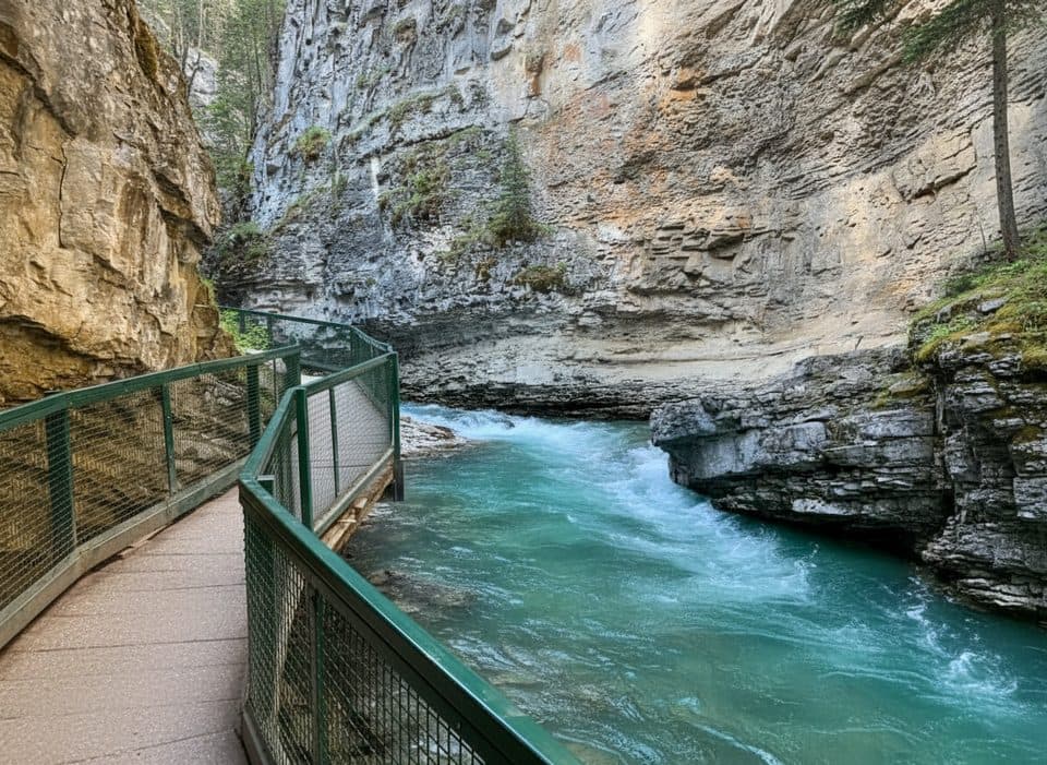 EasyJohnston Canyon to Upper Falls5.5 km · 2.5 hr · At the trailheadBanff’s catwalk canyon to thundering Upper Falls—short, spectacular.
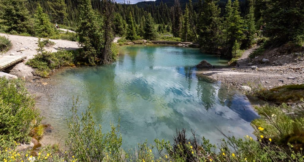 ModerateJohnston Canyon to Ink Pots10.9 km · 4 hr · At the trailheadCanyon catwalks to bubbling spring pools—busy but worth the climb
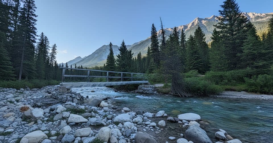 ChallengingMystic Pass via Johnston Canyon26.1 km · 11 hr · At the trailheadCanyon bridges, Ink Pots and a hard climb to alpine Mystic Pass.
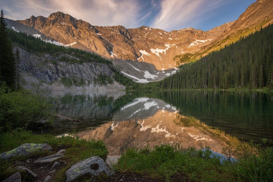 ChallengingMystic Lake via Johnston Canyon34.2 km · 14 hr · At the trailheadA demanding backcountry traverse to Mystic Lake and over Mystic Pass.
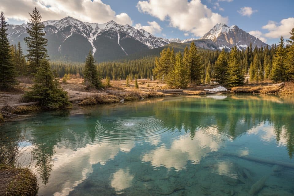 ModerateInk Pots via Moose Meadows11.4 km · 4 hr · 1.7 km awayA quieter forest approach to the bubbling Ink Pots mineral springs.
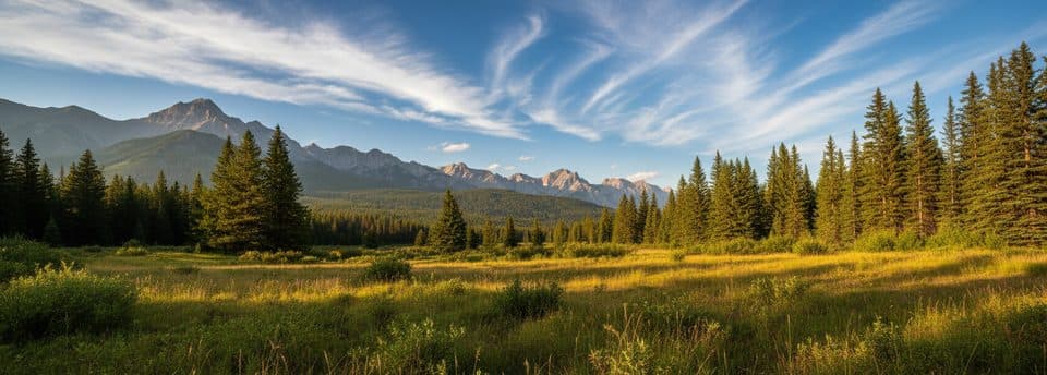 ModerateMoose Meadows to Ink Pots11.4 km · 4.5 hr · 1.7 km awayQuieter forest approach to the Ink Pots springsModerateRedearth Creek Trail28 km · 9 hr · 3.7 km awayLong forested out-and-back from Redearth Creek to Shadow Lake Lodge
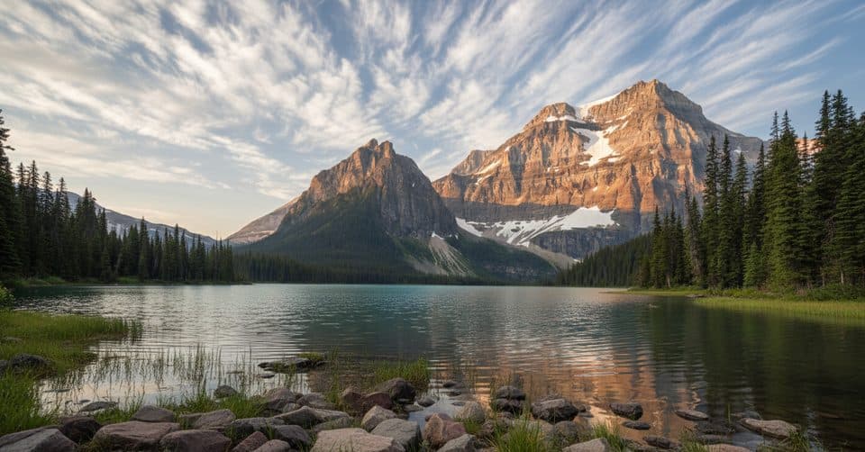 ChallengingShadow Lake via Redearth Creek27.8 km · 9.5 hr · 3.8 km awayFollow the Redearth Creek approach to Shadow Lake and its historic backcountry lodge.
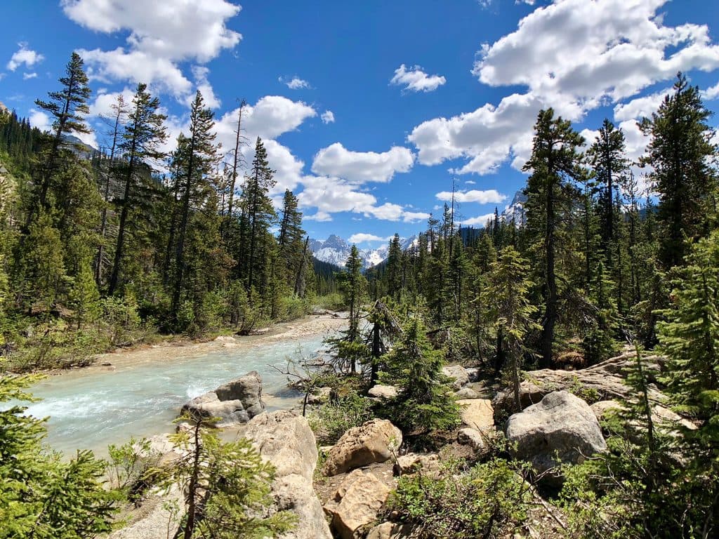 Sight · At the trailheadJohnston CanyonCatwalks through a limestone gorge to roaring falls and winter ice
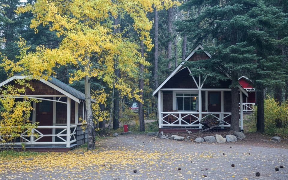 Lodging · 0.1 km awayJohnston Canyon Lodge and BungalowsHeritage cabins steps from Johnston Canyon’s catwalks and waterfalls
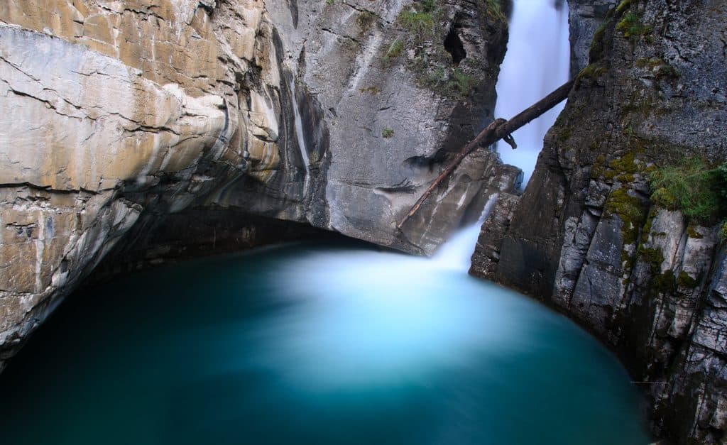 Sight · 0.9 km awayLower FallsClose-up tunnel view of a roaring canyon waterfall
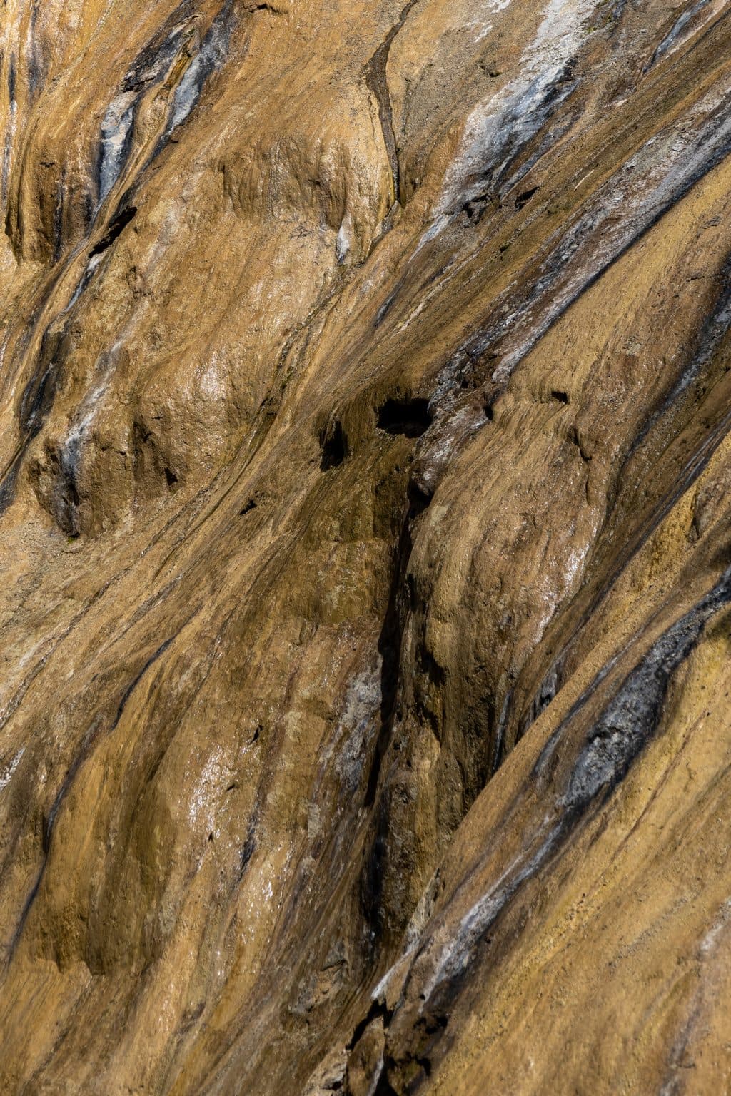 Sight · 1.9 km awayUpper FallsIconic 30 m cascade reached by catwalks through a limestone gorge
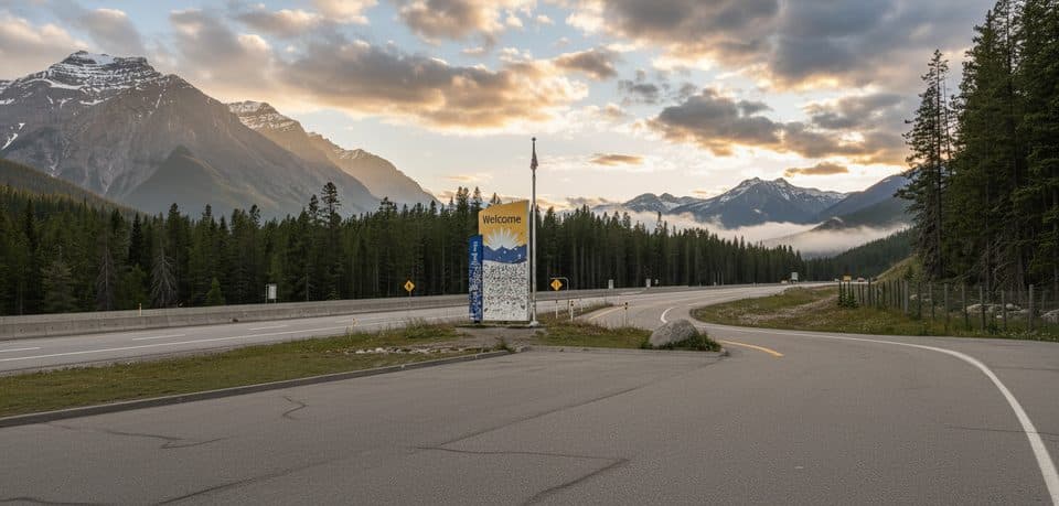 Scenic pullout · 2.3 km awayRest Area - Banff National Park, Hwy 1Quick Hwy 1 stop with toilets and a wildlife crossing exhibit
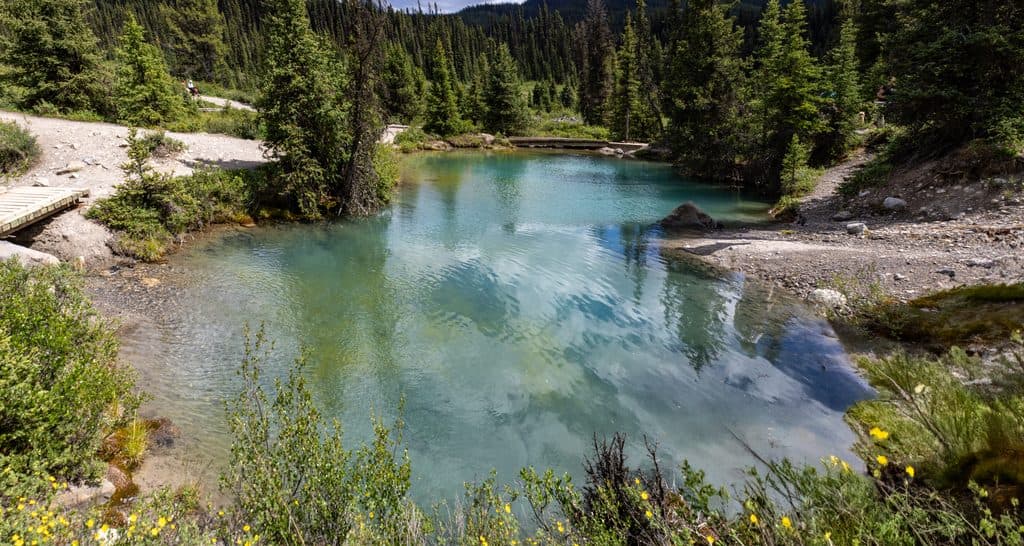 Sight · 3.8 km awayInk PotsBubbling blue-green springs in a wide mountain meadow beyond Johnston Canyon
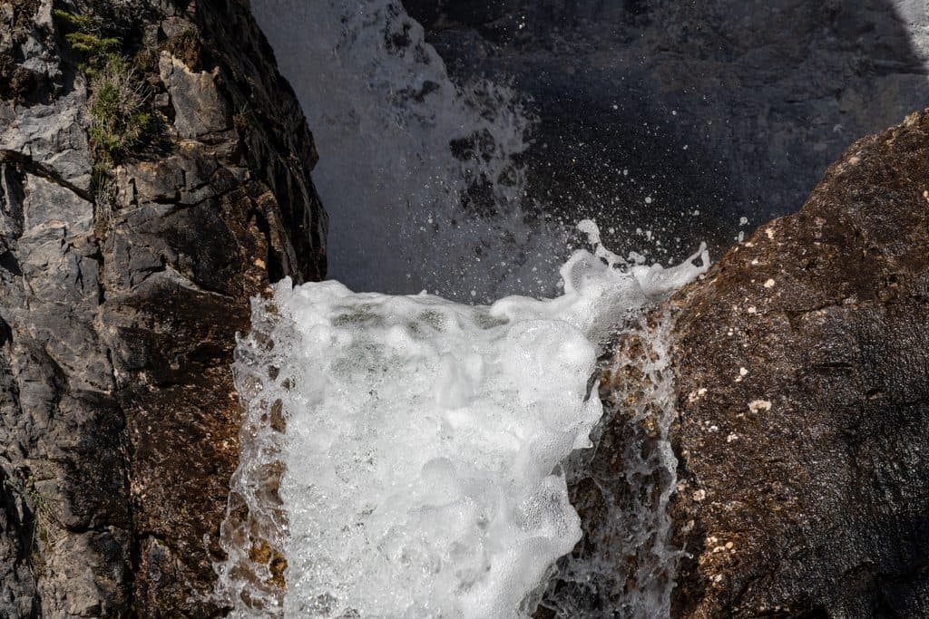 Sight · 5.7 km awaySilverton FallsShort, quiet hike to a multi-tiered waterfall near Castle Mountain
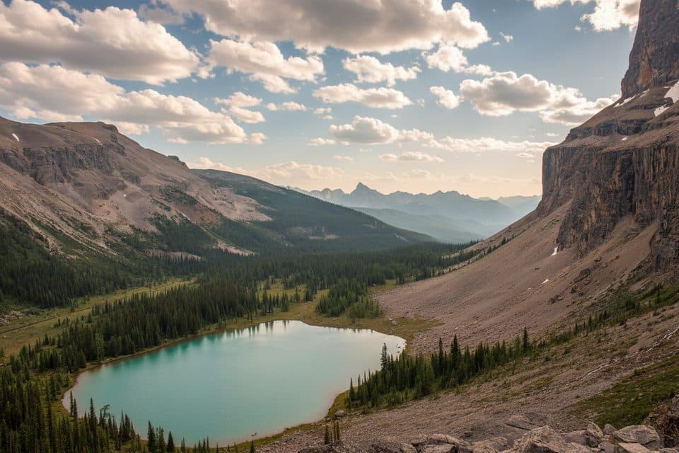 Sight · 5.9 km awayRockbound Lake ViewpointSheer-walled alpine lake with larches, reached by a rewarding hike
Parkwolf’s Banff ranking
The audio tour guide for the drive, plus offline maps, trails, and wildlife heatmaps for when the signal drops.





