Parking
Johnston Canyon day-use area on the Bow Valley Parkway (Hwy 1A); lot fills early—consider arriving off-peak or using transit when available.
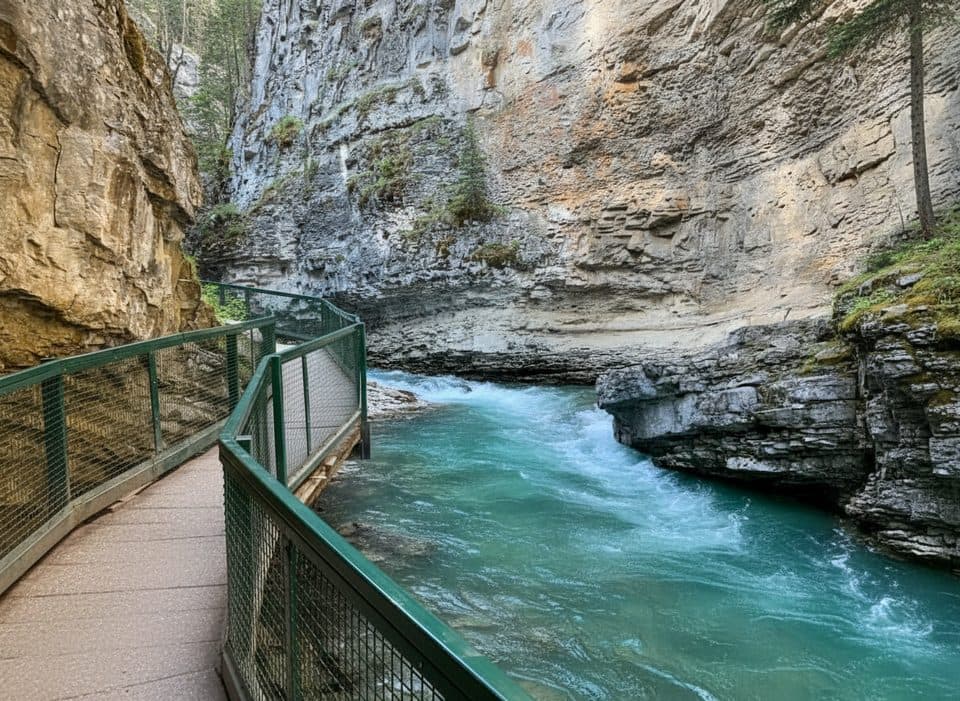
Banff National Park, AB
Banff’s catwalk canyon to thundering Upper Falls—short, spectacular.
Overview
This is Banff’s crowd-pleaser for a reason: you’re walking on steel catwalks bolted to limestone walls with turquoise water churning below. It’s an out-and-back to the Upper Falls, roughly 3.4 miles/5.5 km total, on a well‑maintained mix of path and boardwalk. Plan on 2–3 hours with photo stops.
You’ll reach Lower Falls around 1.2 km in—don’t skip the short tunnel for a misty, front‑row view. Keep climbing through lush evergreen forest and narrow canyon bends toward the Upper Falls at 2.5 km, where two platforms give you both a close-up and a higher, broader perspective. The canyon holds seven waterfalls in total, but these two steal the show.
Expect a steady (but gentle) grade and lots of railings. It’s easy by mountain standards, yet it still feels adventurous thanks to the suspended walkways and the constant roar of Johnston Creek. The geology is textbook Banff: layered limestone carved by glacial meltwater, with mossy walls and sculpted potholes telling the erosion story.
Reality check: this is one of the busiest trails in the park. Parking fills fast, and you may queue for the tunnel or platforms. If solitude is your goal, this isn’t it—but the scenery still delivers. In winter, the canyon turns into an ice palace; it’s gorgeous but slick, so bring traction.
Best time to hike: Go early morning or late afternoon for softer light and fewer people. Summer has lush greenery and strong flow. Spring brings rushing meltwater and fewer crowds. Fall is quieter with golden foliage. Winter is stunning, just icy—budget extra time and wear cleats.
Logistics: Start at the Johnston Canyon day-use area on the Bow Valley Parkway (Hwy 1A). Facilities and a large lot are at the trailhead, but it still overflows—consider transit when available. A Parks Canada pass is required. Dogs are allowed on leash. Lower Falls is more accessible; the Upper Falls section includes stairs and is not wheelchair-friendly.
Want more? Continue past Upper Falls toward the Ink Pots for a longer day and quieter scenery, but know that’s beyond this trail’s typical turnaround.
Map & elevation
Plan your hike

The highest, rockiest slopes around here are a summer buffet for grizzly bears.
Banff Tour Guide
Parkwolf is a GPS audio tour guide for Banff National Park. As you drive, it chimes in with what’s ahead: hidden gems, upcoming stops, history, geology, and wildlife, right through your car’s speakers.
Recorded for this trailhead
Johnston Canyon's Famous Catwalks and Waterfalls“Just ahead is Johnston Canyon, one of the most famous walks in the park.”
Plays as you drive up to this trailhead in the Parkwolf Banff Tour Guide.
More stories near here in the app
“…Loved the commentary as you drove thru. I’m sure the app can do more than I know but the tips were very helpful. I’m gonna use it when we go to Banff next month.”


Wildlife
 122 sightingsGrizzly BearMost seen around 6 AMSighting map
 150 sightingsBrown BearMost seen around 6 PMSighting map
 44 sightingsGray WolfMost seen around 6 AMSighting map
 12 sightingsRiver OtterMost seen around 8 PMSighting map
 67 sightingsMooseMost seen around 8 PMSighting map
 465 sightingsBlack BearMost seen around 9 PMSighting map
Sighting maps show where each species has been reported across Banff. Wildlife moves, so no sighting is guaranteed.
Keep exploring
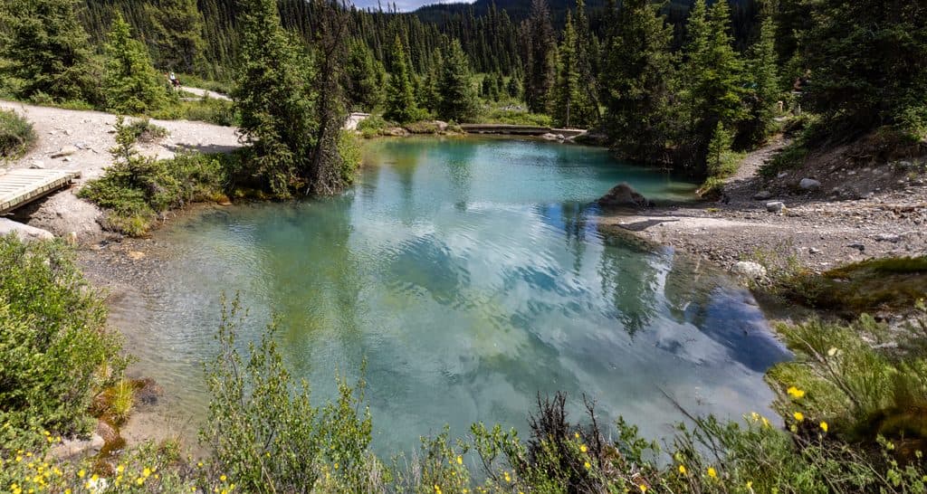 ModerateJohnston Canyon to Ink Pots10.9 km · 4 hr · At the trailheadCanyon catwalks to bubbling spring pools—busy but worth the climb
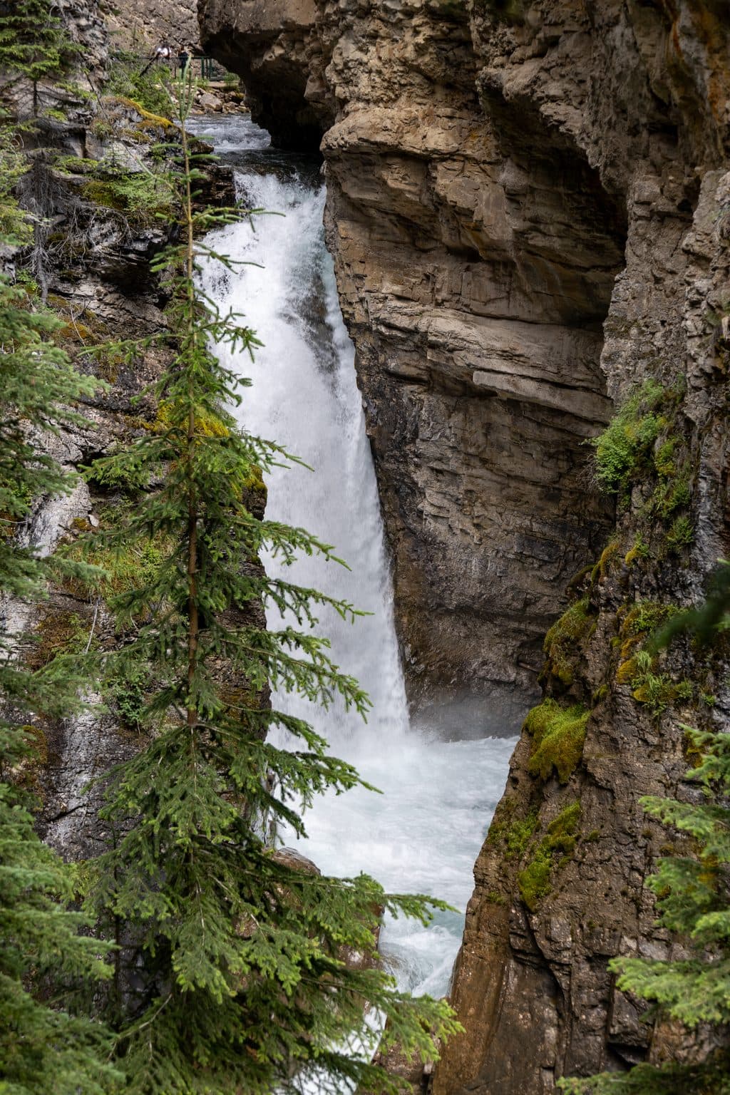 EasyJohnston Canyon Lower Falls2.4 km · 1 hr · At the trailheadShort, easy canyon walk to a roaring waterfall and spray-filled cave
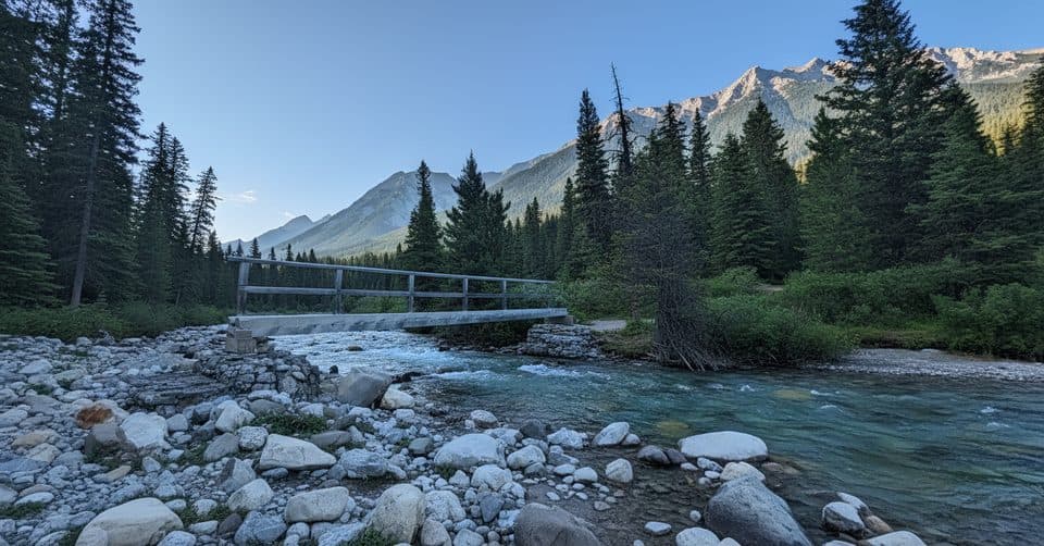 ChallengingMystic Pass via Johnston Canyon26.1 km · 11 hr · At the trailheadCanyon bridges, Ink Pots and a hard climb to alpine Mystic Pass.
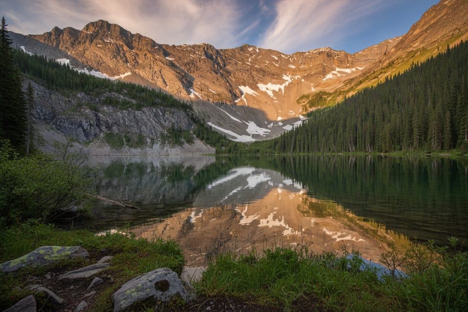 ChallengingMystic Lake via Johnston Canyon34.2 km · 14 hr · At the trailheadA demanding backcountry traverse to Mystic Lake and over Mystic Pass.
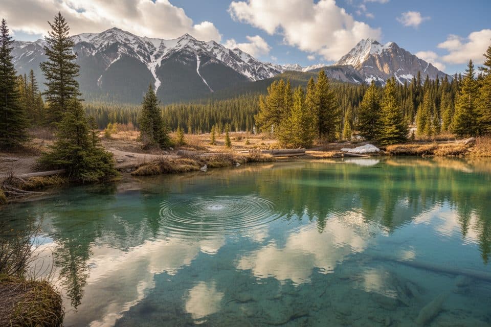 ModerateInk Pots via Moose Meadows11.4 km · 4 hr · 1.7 km awayA quieter forest approach to the bubbling Ink Pots mineral springs.
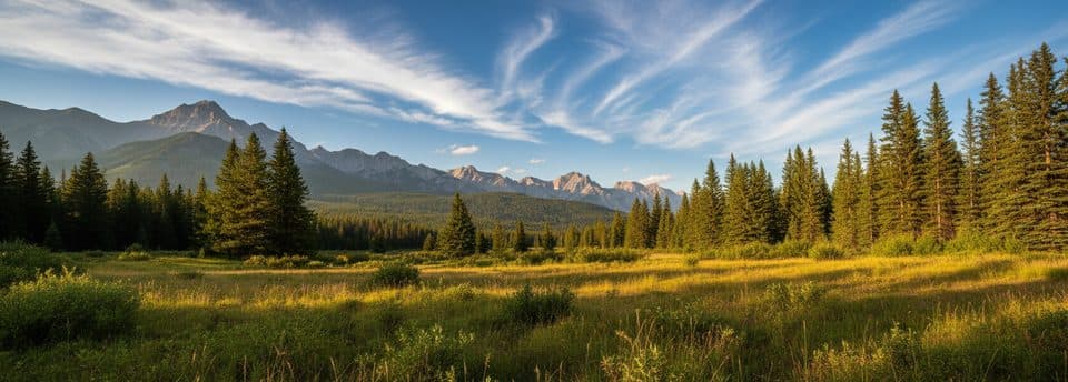 ModerateMoose Meadows to Ink Pots11.4 km · 4.5 hr · 1.7 km awayQuieter forest approach to the Ink Pots springsModerateRedearth Creek Trail28 km · 9 hr · 3.7 km awayLong forested out-and-back from Redearth Creek to Shadow Lake Lodge
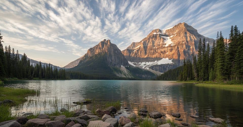 ChallengingShadow Lake via Redearth Creek27.8 km · 9.5 hr · 3.8 km awayFollow the Redearth Creek approach to Shadow Lake and its historic backcountry lodge.
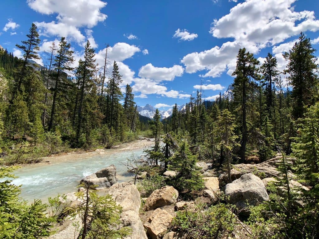 Sight · At the trailheadJohnston CanyonCatwalks through a limestone gorge to roaring falls and winter ice
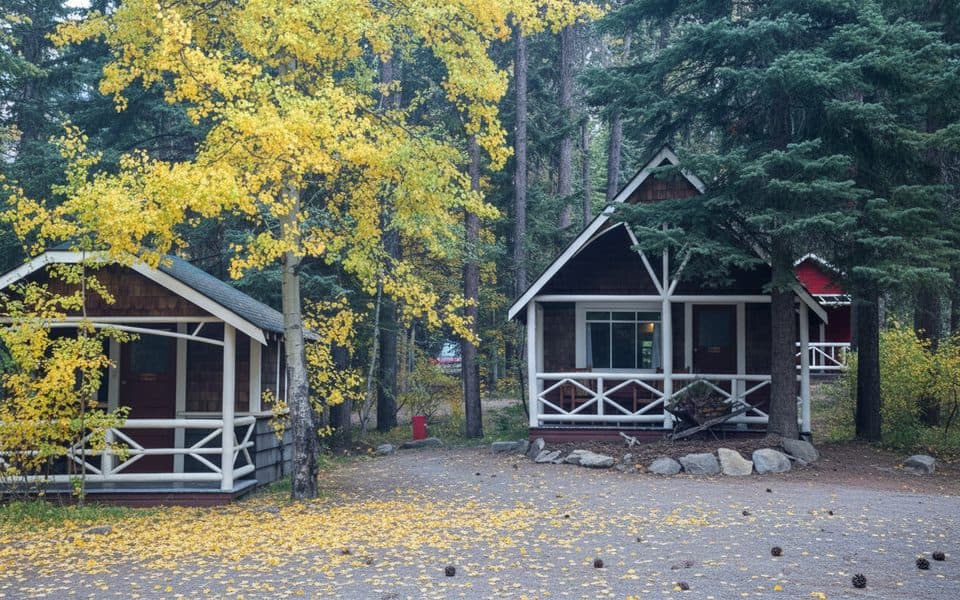 Lodging · 0.1 km awayJohnston Canyon Lodge and BungalowsHeritage cabins steps from Johnston Canyon’s catwalks and waterfalls
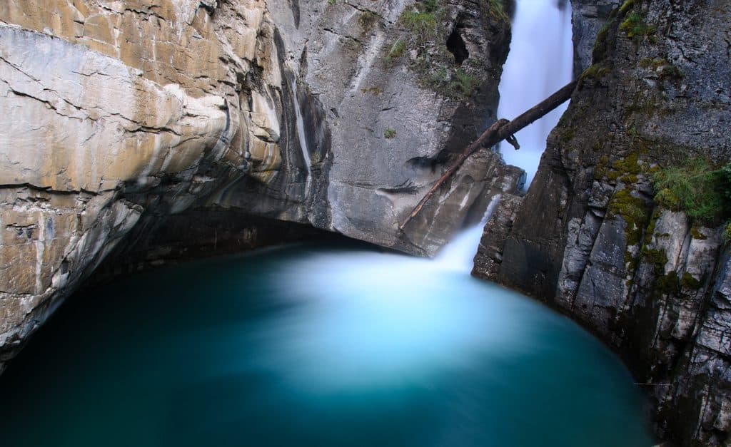 Sight · 0.9 km awayLower FallsClose-up tunnel view of a roaring canyon waterfall
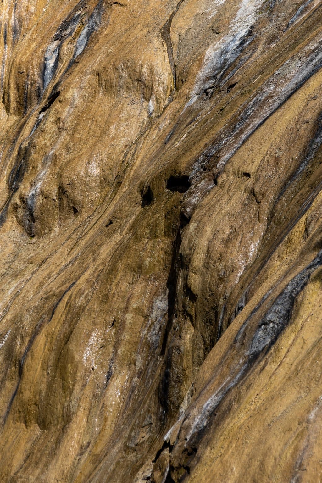 Sight · 1.9 km awayUpper FallsIconic 30 m cascade reached by catwalks through a limestone gorge
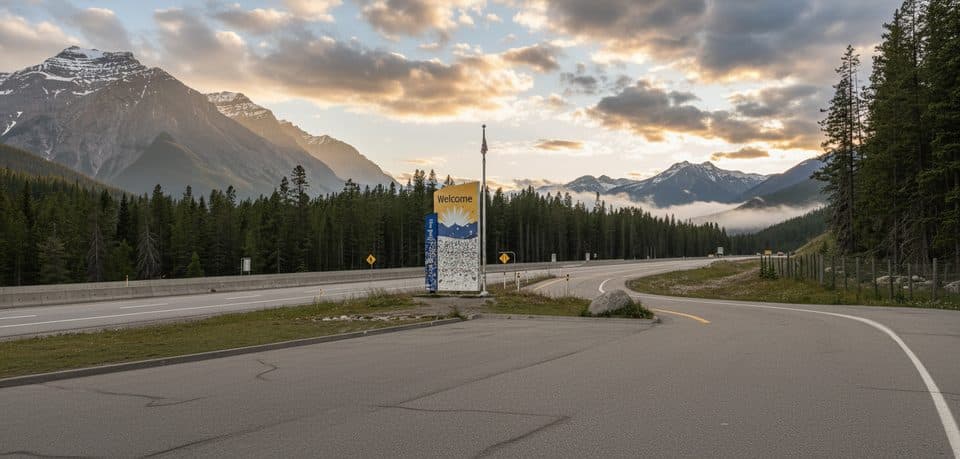 Scenic pullout · 2.3 km awayRest Area - Banff National Park, Hwy 1Quick Hwy 1 stop with toilets and a wildlife crossing exhibit
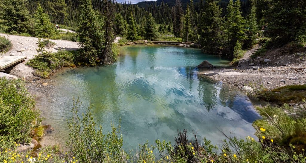 Sight · 3.8 km awayInk PotsBubbling blue-green springs in a wide mountain meadow beyond Johnston Canyon
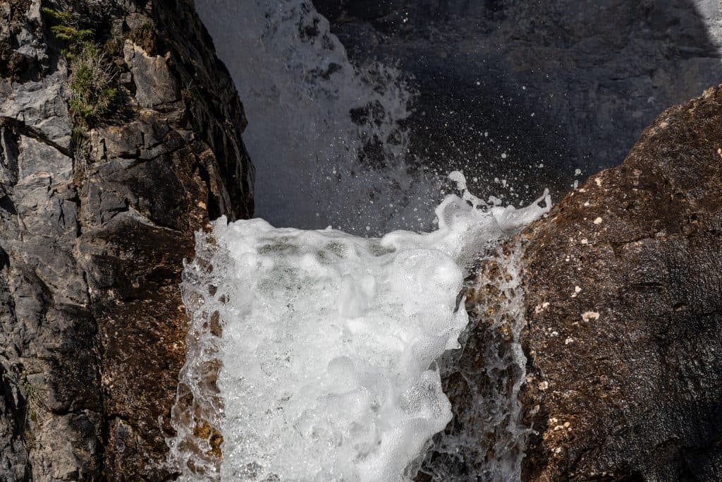 Sight · 5.7 km awaySilverton FallsShort, quiet hike to a multi-tiered waterfall near Castle Mountain
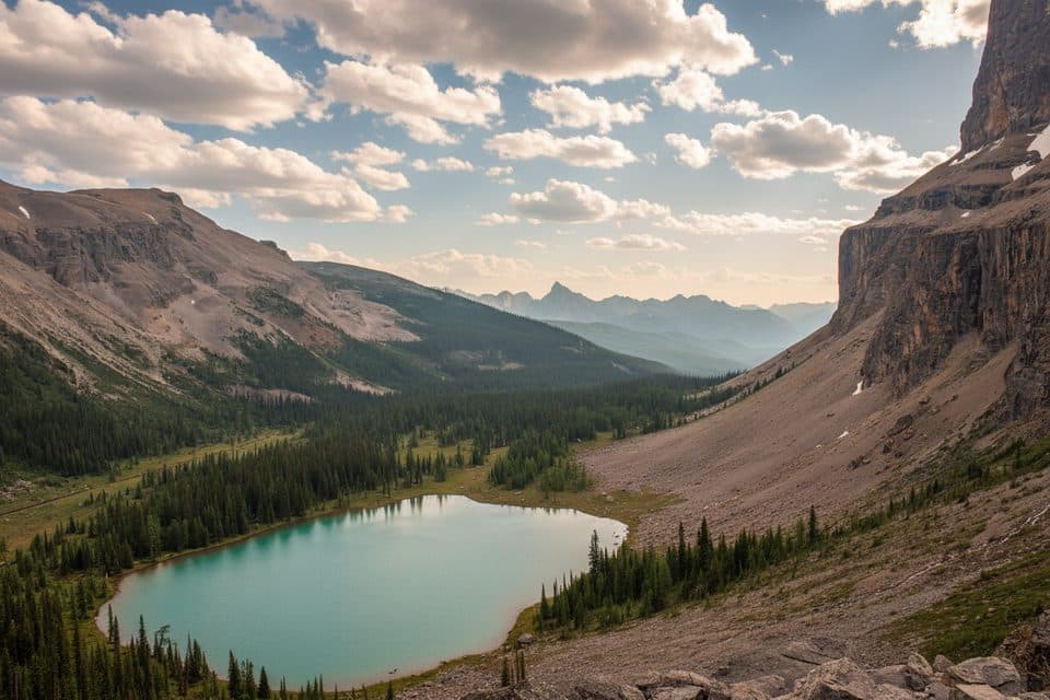 Sight · 5.9 km awayRockbound Lake ViewpointSheer-walled alpine lake with larches, reached by a rewarding hike
Parkwolf’s Banff ranking

The audio tour guide for the drive, plus offline maps, trails, and wildlife heatmaps for when the signal drops.





