
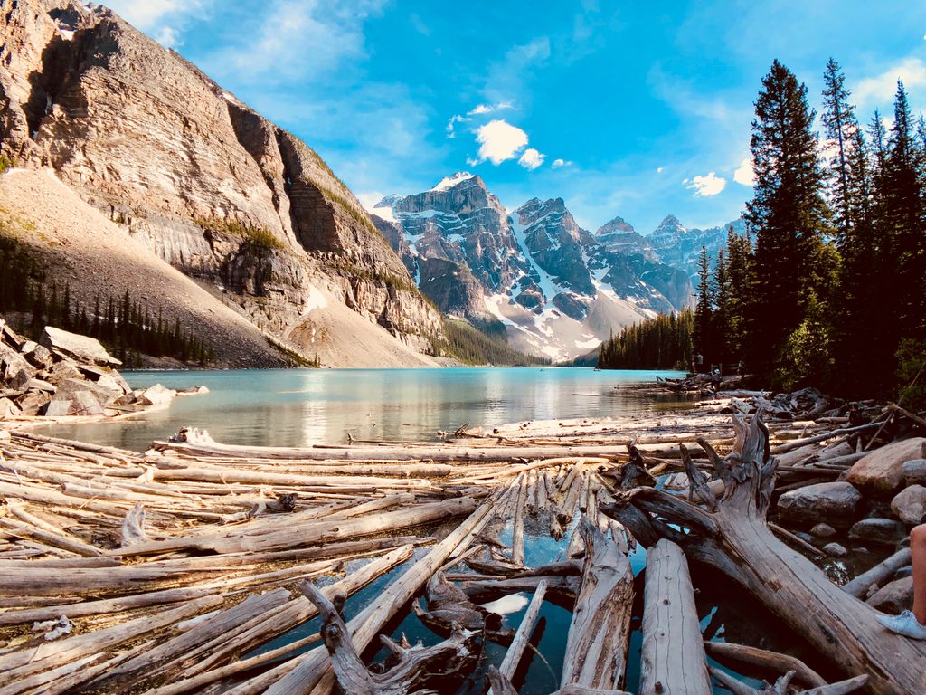
Place
Easy
This is the mellow, forested way to reach Lake Louise without battling lakeshore parking. The Tramline follows the old narrow‑gauge railway that once shuttled visitors from the village to the lake, so grades are steady and forgiving. Expect shaded conifer forest, multiple crossings of Louise Creek, a Bow River view near the start, and a few short sections with wooden stairs and rooty steps. Benches and interpretive signs break up the climb, and the payoff is classic lakeshore scenery at the top.
From the village near the railway station, the trail climbs about 200 m as it parallels Lake Louise Drive and follows the historic rail bed toward the lake. It’s well signed and generally wide and smooth, narrowing with some roots and steps near the upper end. Plan for roughly 5.6 miles total if you hike it out-and-back; many people walk one way (about 2.8 miles) and use the shuttle back. Difficulty is easy-to-moderate for most, with a steady grade rather than steep pitches.
This path is popular—especially in summer—because it neatly sidesteps the lakeshore parking mess. You’ll feel the proximity to the road at times and it’s not a solitude hike during peak hours, but it’s a pleasant, practical approach with history baked in. If you want bigger views en route, consider adding the short Fairview Lookout from the lake.
Best May–September for dry tread, full foliage, and easier logistics. In winter the corridor becomes a snowy, multi‑use route (hiking, snowshoeing, and nearby cross‑country loops). Shoulder seasons can be icy. Year‑round, expect high use; go early to keep it calm and to snag transit.
Not wheelchair accessible due to stairs, uneven surfaces, and grade. Dogs are allowed on leash.
Park in Lake Louise village near the railway station/Station Restaurant area (lower lots across the tracks). From there, join Tramline, cross the Bow River and Louise Creek, and climb toward the lake. Lakeshore parking is limited; using village parking plus the shuttle (one-way hike) is common.
Multi-use traffic (bikes in summer, ski links in winter); short stair/root sections; heavy crowds in peak season; check for bear-related advisories and bring a map if linking winter loops due to occasional signage issues.
Place
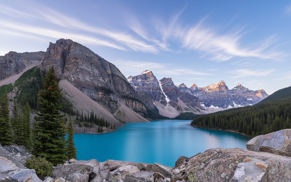
Place
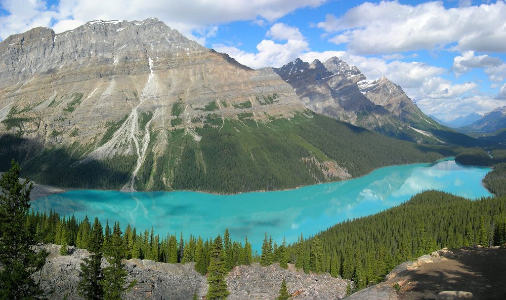
Place
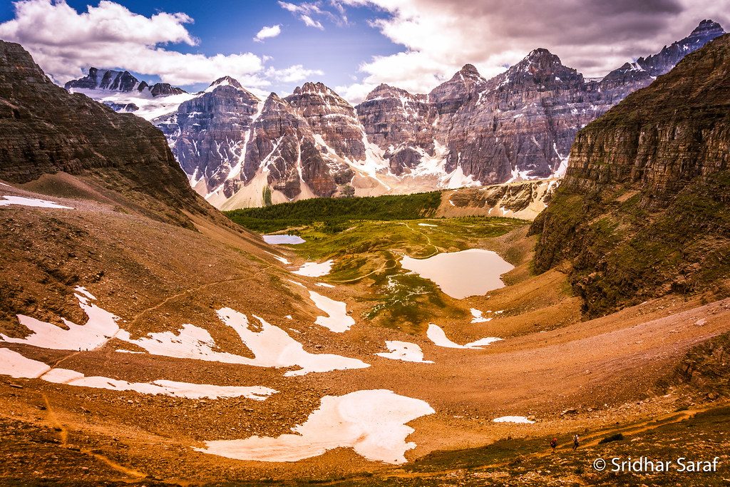
Place
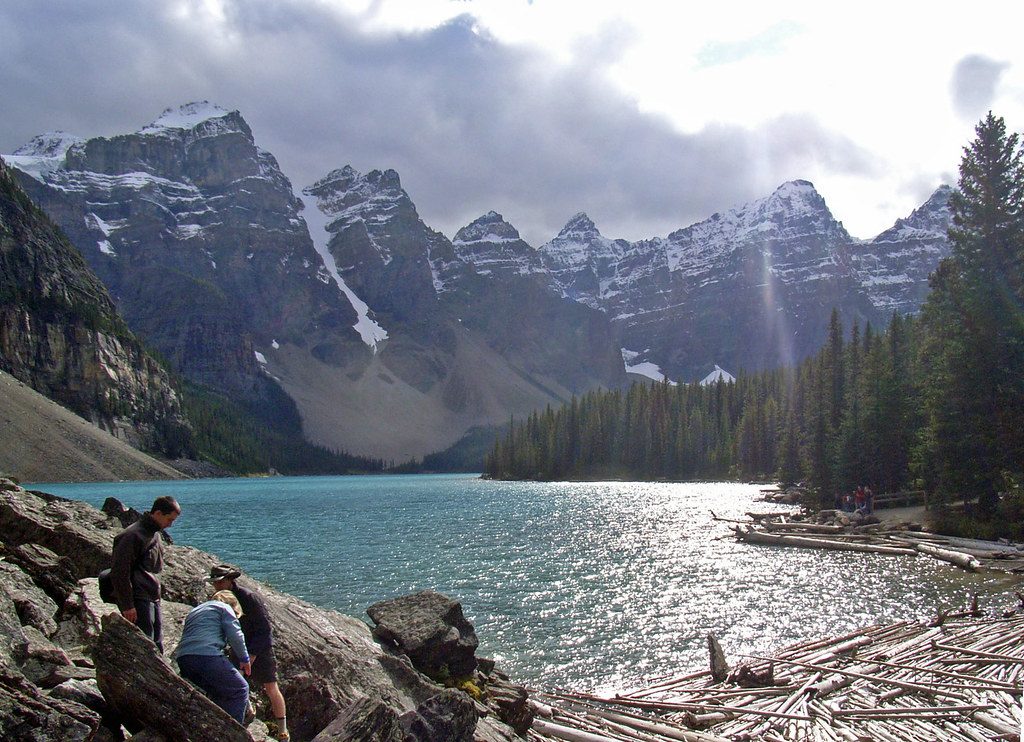
Easy
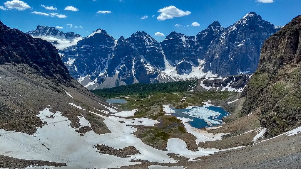
Challenging
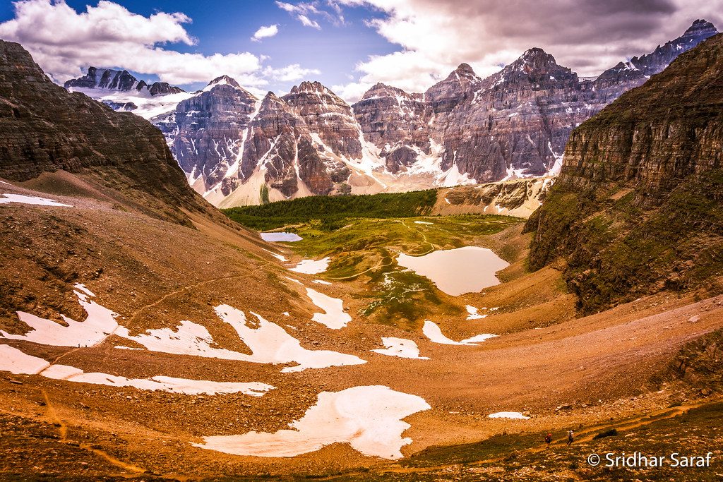
Challenging
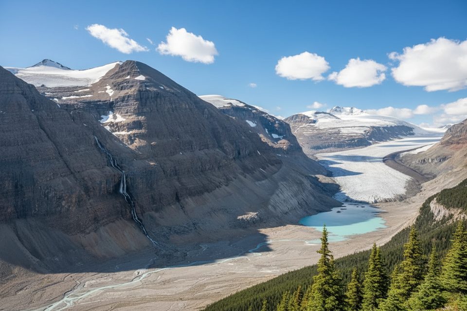
Moderate

Parkwolf Tour Guide
