Parking
Park at the Fish Creek trailhead near Lake Louise Ski Area. There is no vehicle access on the Temple access road; Parks Canada describes the initial approach as a 4 km walk before the Skoki backcountry route.
Banff National Park, AB
Remote alpine route from Skoki Lodge to a high viewpoint over Lake Merlin
Overview
Lake Merlin is a remote Skoki backcountry side trip from Skoki Lodge. The mapped route follows the named Merlin Lake Route west through larch and subalpine terrain to a high viewpoint above the lake, with steep grades, rough footing, and big views of the surrounding peaks. It is about 7.7 km (4.8 miles) round trip from Skoki Lodge; the stored line represents the physical outbound corridor once, so the return is not duplicated.
This trail record begins at Skoki Lodge, not at the Fish Creek parking area. To reach the lodge, start at the Fish Creek trailhead near Lake Louise Ski Area. Parks Canada describes the initial Temple access road as a 4 km walk with no vehicle access, followed by the Skoki backcountry approach. Plan for that approach separately from the Lake Merlin side-trip distance.
The route climbs through forest and open alpine terrain and finishes at the signed Merlin Lake route viewpoint above the lake. The mapped line does not include an invented direct descent to the lakeshore. Expect a remote mountain route with steep and occasionally exposed sections, changing footing, and route-finding demands. This is grizzly country: carry bear spray, secure food, stay on designated trails, and be prepared for stream crossings and rapid weather changes. Overnight travel requires a Parks Canada backcountry permit, and Merlin Meadows (Sk18) camping requires a reservation.
Map & elevation
Plan your hike

The highest, rockiest slopes around here are a summer buffet for grizzly bears.
Banff Tour Guide
Parkwolf is a GPS audio tour guide for Banff National Park. As you drive, it chimes in with what’s ahead: hidden gems, upcoming stops, history, geology, and wildlife, right through your car’s speakers.
More stories near here in the app
“…Loved the commentary as you drove thru. I’m sure the app can do more than I know but the tips were very helpful. I’m gonna use it when we go to Banff next month.”


Wildlife
 122 sightingsGrizzly BearMost seen around 6 AMSighting map
 150 sightingsBrown BearMost seen around 6 PMSighting map
 44 sightingsGray WolfMost seen around 6 AMSighting map
 12 sightingsRiver OtterMost seen around 8 PMSighting map
 67 sightingsMooseMost seen around 8 PMSighting map
 465 sightingsBlack BearMost seen around 9 PMSighting map
Sighting maps show where each species has been reported across Banff. Wildlife moves, so no sighting is guaranteed.
Keep exploring
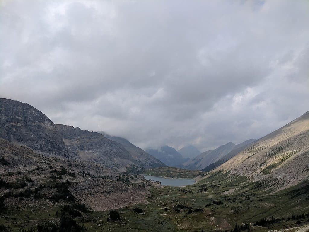 ChallengingPulsatilla Pass92.9 km · 1.4 days · 10.5 km awayA demanding multi-day Sawback traverse over three alpine passes
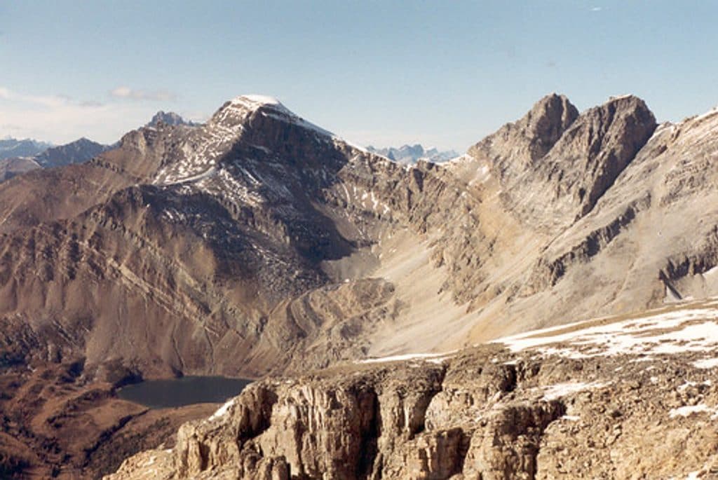 ChallengingMount Richardson21.7 km · 8 hr · 10.5 km awayLong, committing Banff scramble from Fish Creek to a panoramic Mount Richardson summit
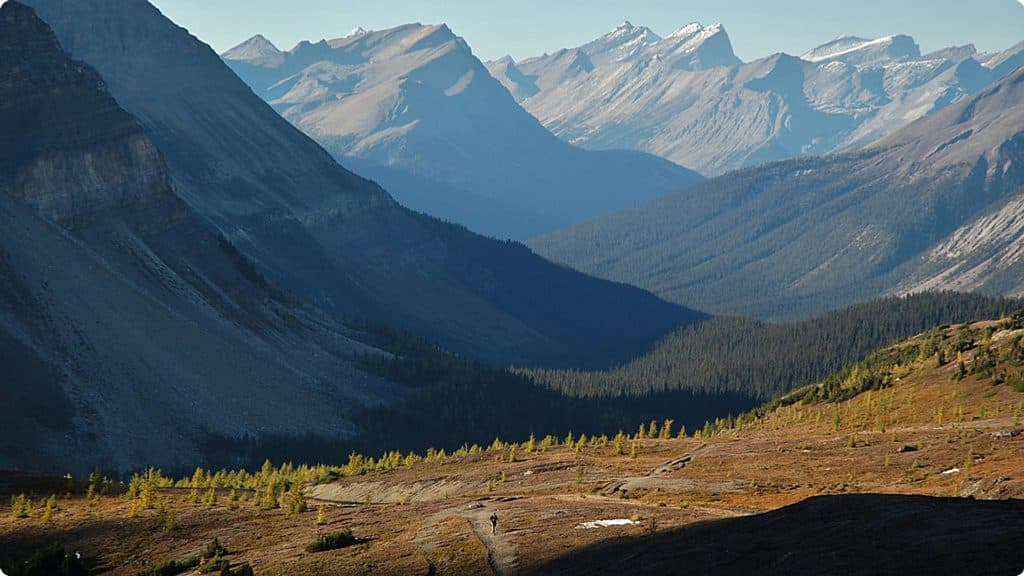 ChallengingDeception Pass23 km · 8.5 hr · 10.5 km awayLong, demanding out-and-back from Fish Creek to a high alpine pass above Ptarmigan LakeChallengingSkoki Valley Loop via Deception Pass36.9 km · 14 hr · 10.6 km awayA demanding three-day loop through Baker Lake, Skoki Lodge, Merlin Meadows, and Deception PassChallengingSkoki Valley Trail40.7 km · 16.5 hr · 10.6 km awayA demanding multi-day loop through Banff's Skoki backcountryModerateBoulder Pass and Ptarmigan Lake17.9 km · 5.5 hr · 10.6 km awayA long alpine out-and-back from Fish Creek to Boulder Pass and Ptarmigan Lake
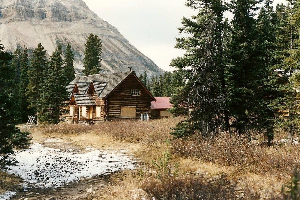 Lodging · At the trailheadSkoki LodgeHistoric, off‑grid backcountry lodge reached by an 11 km hike
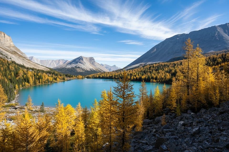 Sight · 1.4 km awaySkoki MountainRemote summit above Skoki Valley with big views and fall larches
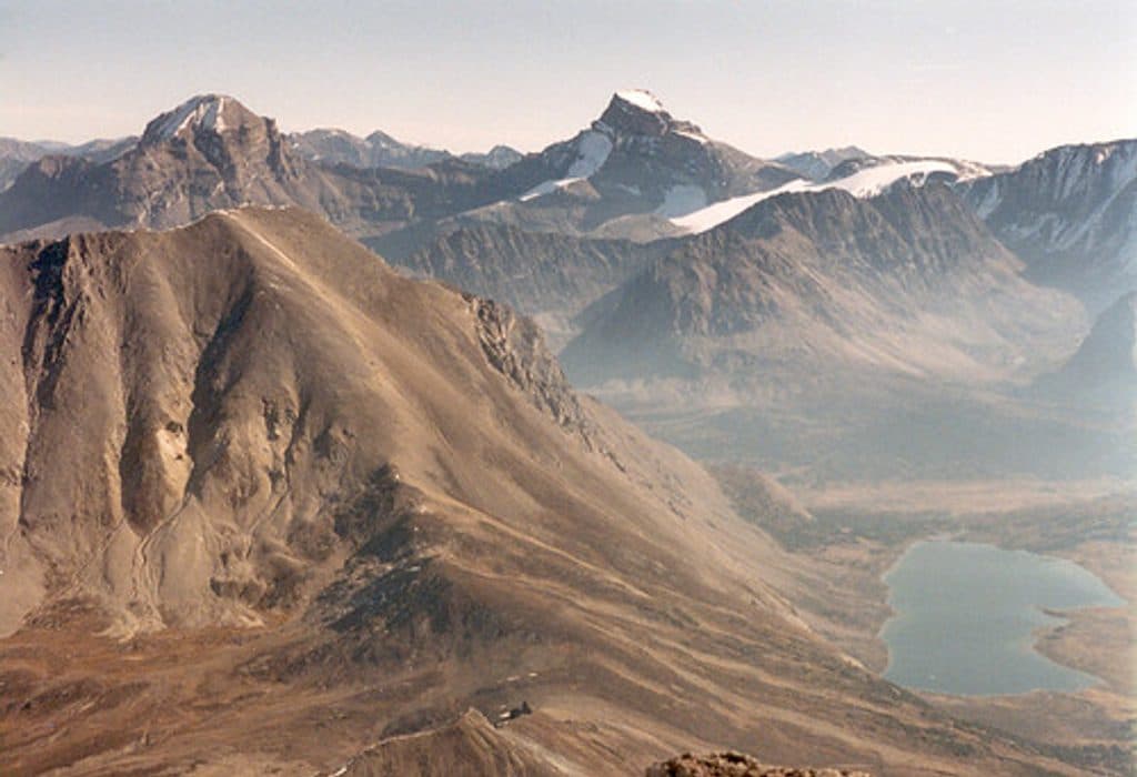 Sight · 3.1 km awayFossil MountainRemote Skoki peak with fossils and huge lake-studded views
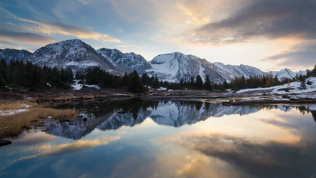 Sight · 4.2 km awayBaker LakeRemote alpine lake and basecamp in the Skoki backcountry
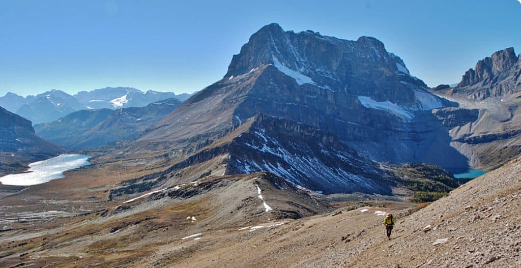 Sight · 4.3 km awayPtarmigan LakeRemote alpine lake beneath Ptarmigan Peak via Boulder Pass
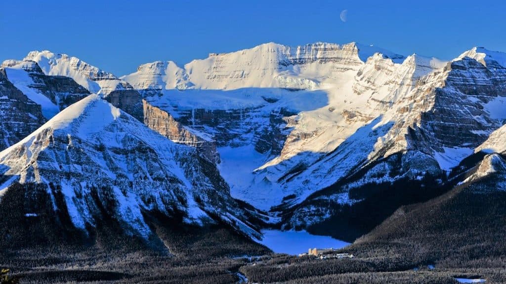 Sight · 10.7 km awayLake Louise Ski ResortBig-mountain skiing and summer grizzly viewing with knockout views
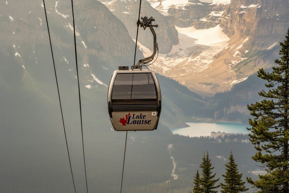 Sight · 10.7 km awayLake Louise Ski Resort Summer Gondola ViewpointGood chance of grizzlies and big alpine views by gondola
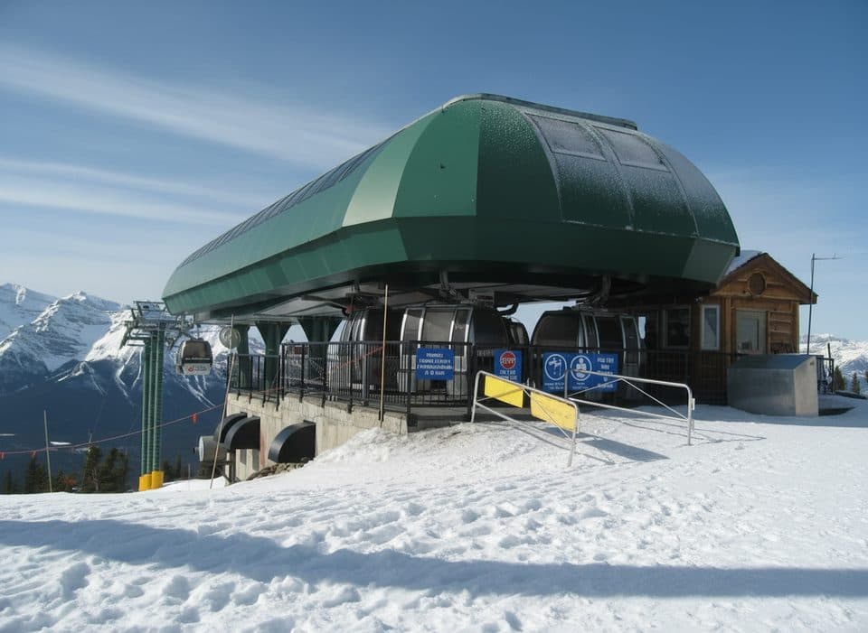 Sight · 10.7 km awayGrizzly Express GondolaScenic ride with real odds of spotting grizzlies
Parkwolf’s Banff ranking

The audio tour guide for the drive, plus offline maps, trails, and wildlife heatmaps for when the signal drops.





