Parking
Begin at the Moraine Lake parking lot and shoreline trailhead. Parking is very limited; use the Parks Canada shuttle in summer and check current access arrangements before departing.
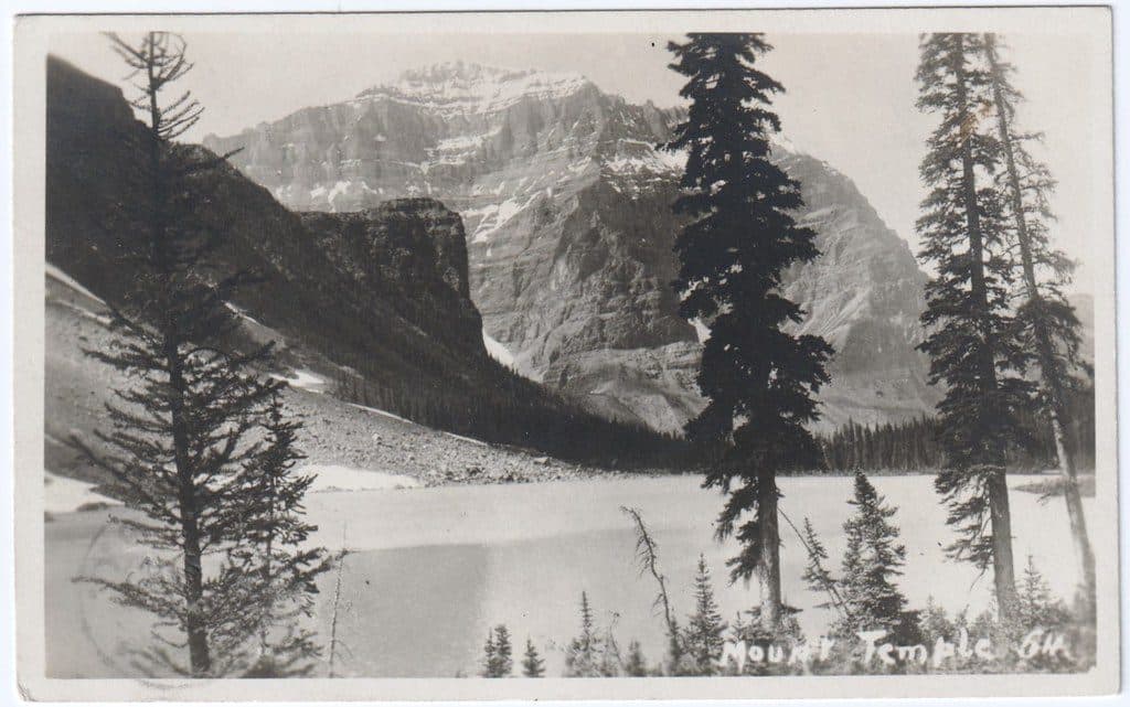
Banff National Park, AB
A serious full-day scramble from Moraine Lake to Banff’s highest summit, with huge Valley of the Ten Peaks views.
Overview
Mount Temple is a demanding out-and-back scramble from Moraine Lake to the 3,543 m summit. From the Moraine Lake parking lot, follow the shoreline and the Larch Valley/Sentinel Pass trail through Larch Valley, then leave the maintained approach for the southwest route to the summit. The route is about 9.4 miles (15.1 km) round trip, gains roughly 1,690 m (5,543 ft), and generally takes 7–12 hours. It includes loose scree, route-finding, and three rock bands with exposed Class 3/4 scrambling; a helmet is strongly recommended and some parties use a rope at the crux. Descend by the same route—shortcuts into gullies increase rockfall and cliff hazards. This is a summer climb only when snow and ice conditions permit; upper-mountain snow can require crampons and an ice axe, and cornices may form near the summit ridge. Parking at Moraine Lake is very limited and summer access is primarily by Parks Canada shuttle. Grizzly-group restrictions may apply on the Larch Valley/Sentinel Pass approach; check Parks Canada access and safety information before starting.
Map & elevation
Plan your hike

The highest, rockiest slopes around here are a summer buffet for grizzly bears.
Banff Tour Guide
Parkwolf is a GPS audio tour guide for Banff National Park. As you drive, it chimes in with what’s ahead: hidden gems, upcoming stops, history, geology, and wildlife, right through your car’s speakers.
Recorded for this area
Pikas: The Alpine Haymakers of Banff“If you're up high on a rocky slope and hear a sharp ‘eep!’, scan the boulders for a pika. They look like a small, round potato with ears, and are actually related to rabbits.”
Plays near this trailhead in the Parkwolf Banff Tour Guide.
More stories near here in the app
“…Loved the commentary as you drove thru. I’m sure the app can do more than I know but the tips were very helpful. I’m gonna use it when we go to Banff next month.”


Wildlife
 122 sightingsGrizzly BearMost seen around 6 AMSighting map
 150 sightingsBrown BearMost seen around 6 PMSighting map
 44 sightingsGray WolfMost seen around 6 AMSighting map
 12 sightingsRiver OtterMost seen around 8 PMSighting map
 67 sightingsMooseMost seen around 8 PMSighting map
 465 sightingsBlack BearMost seen around 9 PMSighting map
Sighting maps show where each species has been reported across Banff. Wildlife moves, so no sighting is guaranteed.
Keep exploring
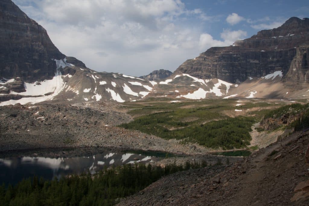 ChallengingWenkchemna Pass19.2 km · 7.5 hr · At the trailheadLong, difficult climb from Moraine Lake to a high-alpine pass in the Valley of the Ten Peaks
 ChallengingLarch Valley and Sentinel Pass11.1 km · 5 hr · At the trailheadBanff’s golden larch showpiece with big-pass views from Moraine Lake
 ChallengingSentinel Pass11.3 km · 5 hr · At the trailheadGolden larches and big mountain views from Moraine Lake to Sentinel Pass.
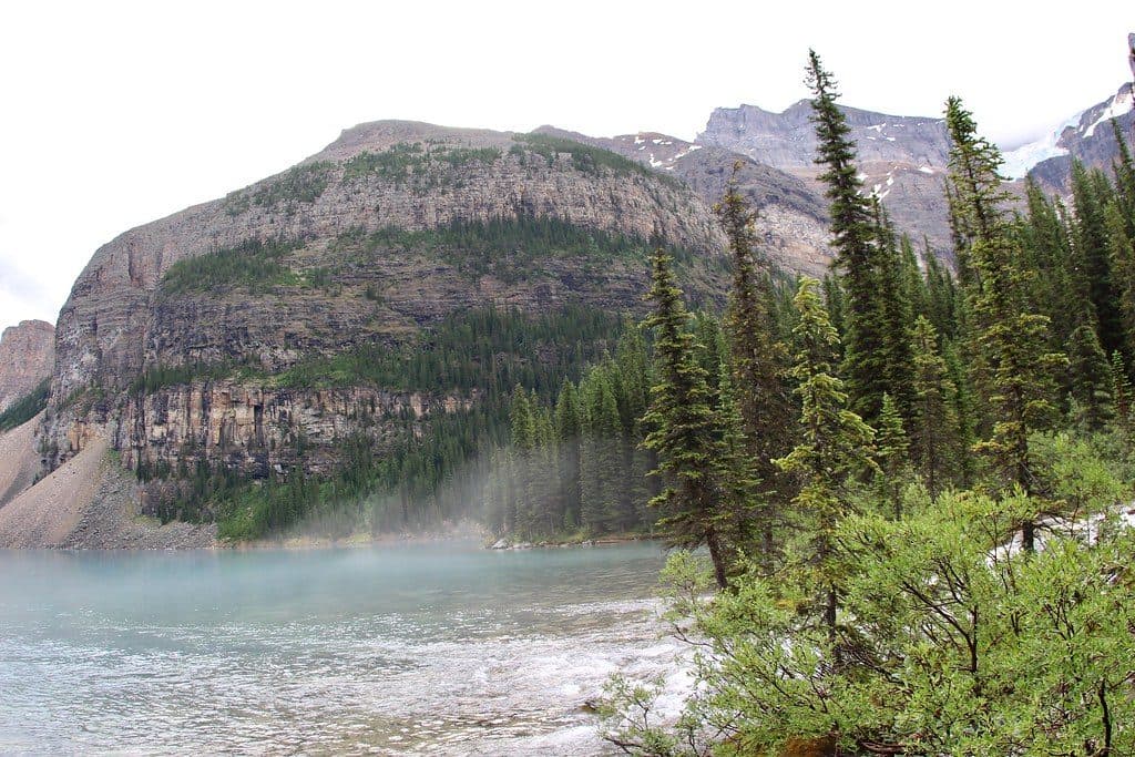 EasyMoraine Lake Lakeshore2.6 km · 45 min · At the trailheadEasy Moraine Lake shoreline stroll to the back-of-lake waterfall
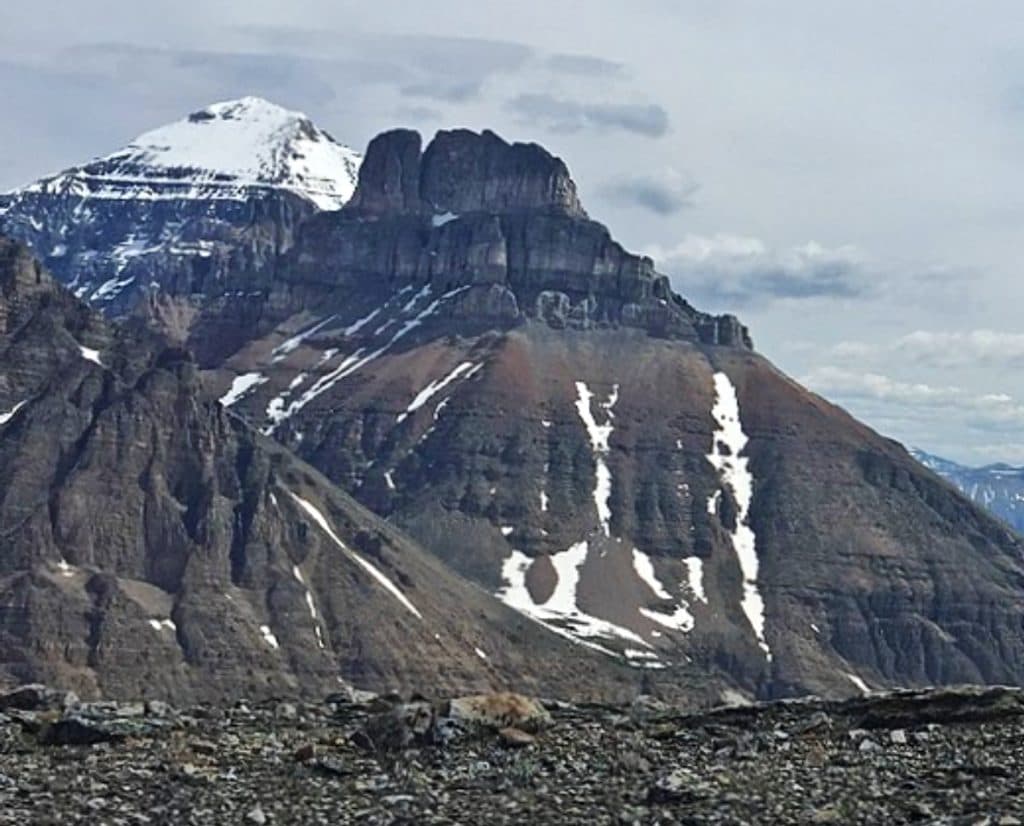 ChallengingEiffel Peak Trail11.3 km · 7 hr · At the trailheadDemanding alpine scramble from Moraine Lake to Ten Peaks views
 EasyMoraine Lake Rockpile0.8 km · 30 min · 0.1 km awayShort transit-accessed walk to Moraine Lake’s iconic Rockpile viewpoint
 ChallengingTower of Babel2.9 km · 3.5 hr · 0.2 km awayA short, steep scree scramble to panoramic Moraine Lake views
 Lodging · At the trailheadMoraine Lake lodgeLakeside luxury with guest-only serenity at sunrise and sunset
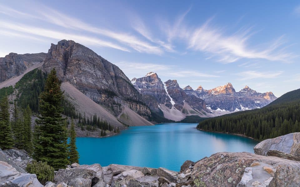 Sight · 0.2 km awayMoraine Lake Rockpile ViewpointThe classic $20 view over turquoise Moraine Lake and Ten Peaks
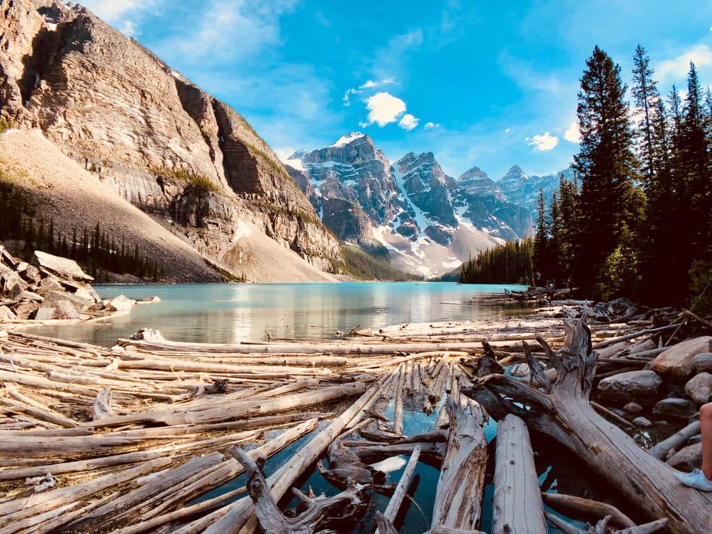 Sight · 0.7 km awayMoraine LakeTurquoise icon under Ten Peaks with easy trails and epic views
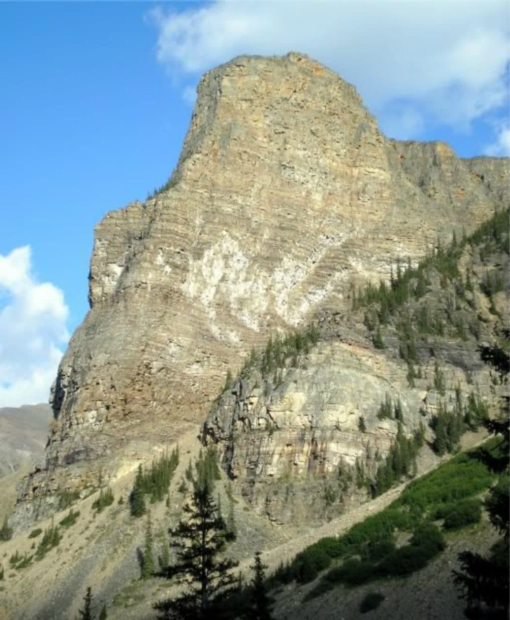 Sight · 0.9 km awayTower of BabelShort, spicy scramble above Moraine Lake with knockout summit views
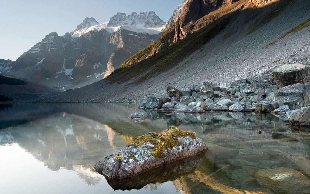 Sight · 2.5 km awayConsolation LakesSerene twin alpine lakes beyond Moraine, big views for little effort
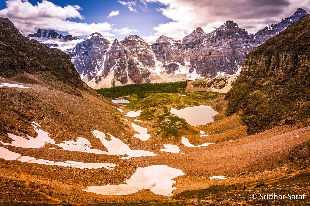 Sight · 2.8 km awayLarch ValleyGolden larch meadows under the Ten Peaks, best in late September
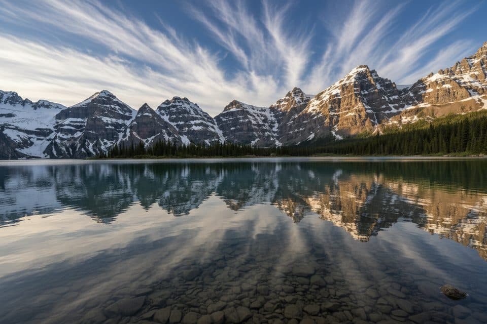 Sight · 2.8 km awayMinnestima LakesSmall alpine pools beneath Sentinel Pass and the golden larches
 Sight · 3 km awayMount TempleLoftiest local summit with staggering Moraine Lake and Ten Peaks views
Parkwolf’s Banff ranking

The audio tour guide for the drive, plus offline maps, trails, and wildlife heatmaps for when the signal drops.


