
Place
Challenging
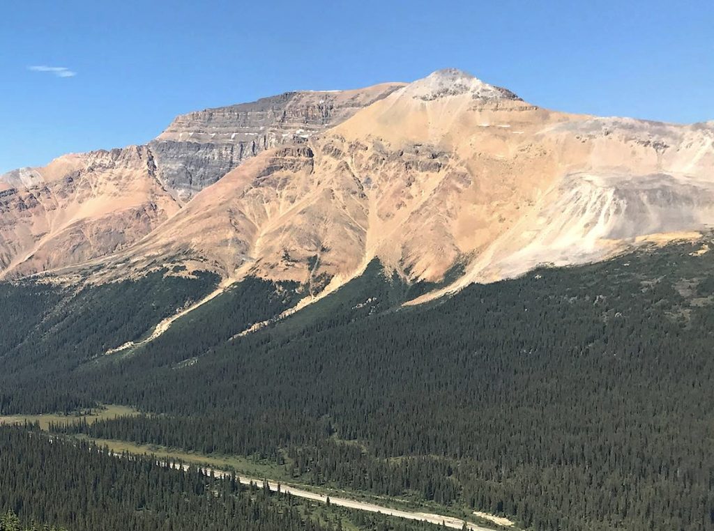
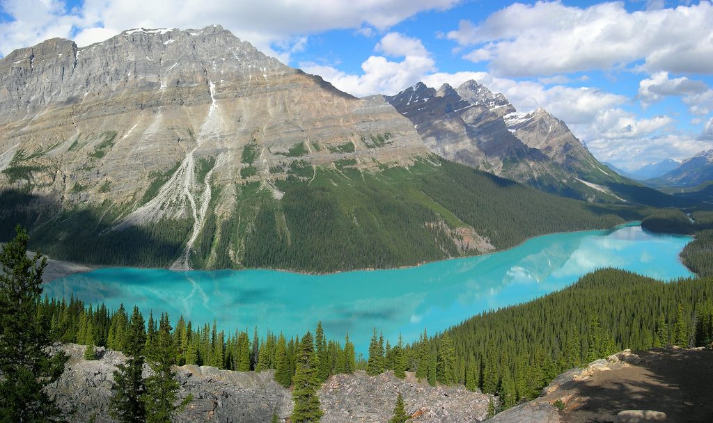
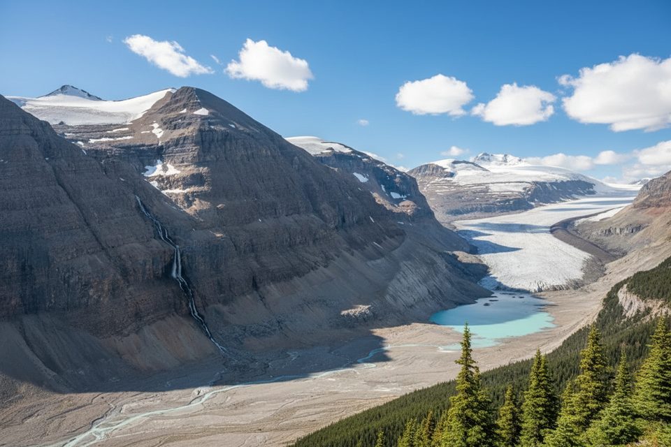
If you want the biggest bang-for-buck viewpoint over Peyto Lake, Bow Lake, and the Icefields Parkway peaks—and don’t mind earning it—Observation Peak delivers. It’s a steep, hands-on scramble that sheds the crowds of Bow Summit and swaps them for a broad, high ridge and a panoramic summit.
Plan on about 8 km/5 miles round-trip with roughly 1,100–1,120 m (3,600+ ft) of gain. The lower approach is a forested old road/trail; above treeline it turns into steep scree, gullies, and short cliff-band cruxes before easing onto a big, airy ridge. Expect light scrambling near the top and a false-summit tease before the true high point.
From a small turnout/lot along the Icefields Parkway near Bow Summit/Peyto Lake, pick up the faint path (watch for a cairn). Just past treeline, most parties trend toward the broad ridge between two obvious gullies; others use the north gully first and then transition to the ridge. Higher up, you’ll encounter rocky step/cliff-band sections around two-thirds height that are the day’s crux. The upper ridge is surprisingly wide and scenic, culminating in a sweeping summit vista.
This is a strenuous, intermediate scramble with a few moves that feel harder—especially if it’s wet, icy, or smoky/hazy. Loose scree can be tedious, the cliff bands demand attention, and the exposure above treeline means rapid weather changes. In snowy periods, cornices and avalanche hazard can be real factors—avoid shoulder seasons unless you’re equipped and check Parks Canada avalanche info first.
Summer (July–September) in dry conditions is the sweet spot. Start early for clearer views and more stable weather; smoke or afternoon cloud can dull the drama. Avoid right after rain or during spring/fall snowmelt—the gullies and slabs get slick fast.
Keep an eye out for mountain goat or bighorn sheep sign on the upper slopes. The landscape showcases classic Rockies geology: glacial valleys, rugged sedimentary cliffs, and a skyline of ice-scoured peaks. The peak was named in 1899 by Charles Noyes, who called the summit view one of the finest he’d ever seen—and it still holds up.
Small parking turnout/lot off the Icefields Parkway near Bow Summit/Peyto Lake; arrive early and park considerately to avoid blocking others.
Steep 3,600+ ft gain in ~5 miles with loose scree, short cliff-band cruxes, and full exposure above treeline. Avoid wet/snowy conditions; cornices and avalanche hazard possible outside mid-summer. Weather shifts fast.
Place
Place
Place
Place
Easy
Challenging
Challenging
Moderate

Parkwolf Tour Guide
