Parking
Park at the Redearth Creek Trailhead off the Trans-Canada Highway. Start at the signed Redearth Creek trailhead; arrive prepared for a long backcountry outing and lock any bike before the foot-only Pharaoh Creek section.
Banff National Park, AB
Long, rugged backcountry approach from Redearth Creek to Egypt Lake.
Overview
This is an out-and-back to Egypt Lake Campground. Plan on about 24.4 miles (39.2 km) total, or roughly 19.6 km (12.2 miles) each way. The stored line follows the physical one-way corridor once; the visitor distance includes the return trip. The Redearth approach is relatively efficient and many hikers bike part of it, but the full route is still a long backcountry outing. Strong hikers may do it in a very long day; most parties use a backcountry campsite and split the trip.
Pharaoh Creek is the long, quieter Redearth Creek approach into the Egypt Lake basin. The route starts at the Redearth Creek Trailhead, follows the bikeable Redearth Creek corridor, then turns onto the Pharaoh Creek Trail and continues to Egypt Lake Campground (E13). Expect a remote backcountry day or a multi-day trip, with forest, creek crossings, rugged singletrack, and the dramatic lake basin beneath the Pharaoh Peaks.
 Parkwolf’s verdictWhy hike it
Map & elevation
Plan your hike

The highest, rockiest slopes around here are a summer buffet for grizzly bears.
Banff Tour Guide
Parkwolf is a GPS audio tour guide for Banff National Park. As you drive, it chimes in with what’s ahead: hidden gems, upcoming stops, history, geology, and wildlife, right through your car’s speakers.
Recorded for this area
Highway Rest Stop with a Wildlife Crossing Exhibit“The rest area just ahead is a convenient highway stop with some wide-open views across the Bow Valley. What makes it interesting is the interpretive exhibit about Banff’s famous wildlife crossings.”
Plays on the road 1.7 km from the trailhead in the Parkwolf Banff Tour Guide.
More stories near here in the app
“…Loved the commentary as you drove thru. I’m sure the app can do more than I know but the tips were very helpful. I’m gonna use it when we go to Banff next month.”


Trail guide
The lower Redearth corridor is forested and follows an old fire-road-style trail through the valley. After the Pharaoh Creek junction, the route becomes narrower and more rugged as it follows the creek through forest toward the Egypt Lake basin. Egypt Lake Campground is the endpoint represented here; Pharaoh Lake, Scarab Lake, Pharaoh Peak, and the Healy Pass network are nearby side destinations, not branches included in this line.
The distance, backcountry setting, elevation changes, and limited services make this a difficult hike even though the route is non-technical. The Pharaoh Creek section includes steep pitches and a signed reroute away from flood-affected creekside tread. Weather can change quickly, and early-season snow, mud, or high water may slow travel. Carry navigation, layers, food, water treatment, and bear spray.
Wildlife
 122 sightingsGrizzly BearMost seen around 6 AMSighting map
 150 sightingsBrown BearMost seen around 6 PMSighting map
 44 sightingsGray WolfMost seen around 6 AMSighting map
 12 sightingsRiver OtterMost seen around 8 PMSighting map
 67 sightingsMooseMost seen around 8 PMSighting map
 465 sightingsBlack BearMost seen around 9 PMSighting map
Sighting maps show where each species has been reported across Banff. Wildlife moves, so no sighting is guaranteed.
Keep exploring
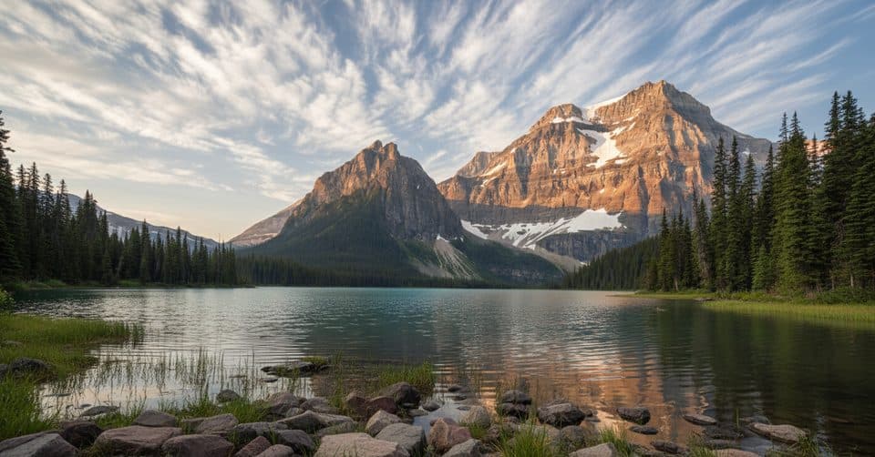 ChallengingShadow Lake via Redearth Creek27.8 km · 9.5 hr · At the trailheadFollow the Redearth Creek approach to Shadow Lake and its historic backcountry lodge.ModerateRedearth Creek Trail28 km · 9 hr · At the trailheadLong forested out-and-back from Redearth Creek to Shadow Lake Lodge
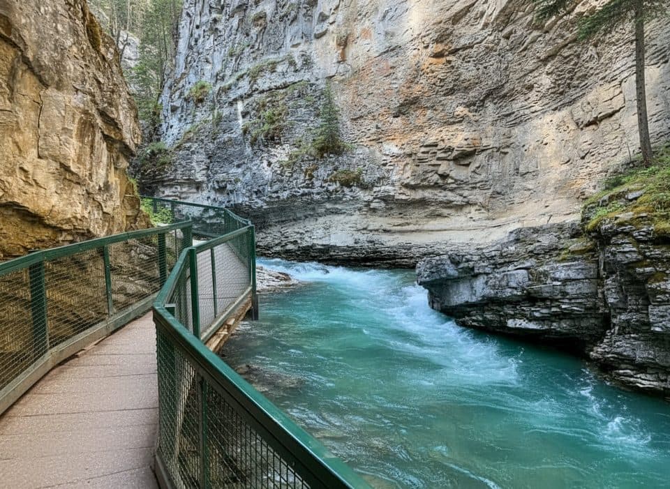 EasyJohnston Canyon to Upper Falls5.5 km · 2.5 hr · 3.8 km awayBanff’s catwalk canyon to thundering Upper Falls—short, spectacular.
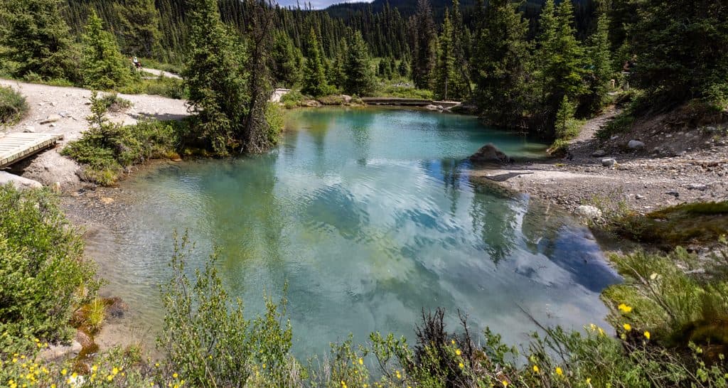 ModerateJohnston Canyon to Ink Pots10.9 km · 4 hr · 3.8 km awayCanyon catwalks to bubbling spring pools—busy but worth the climb
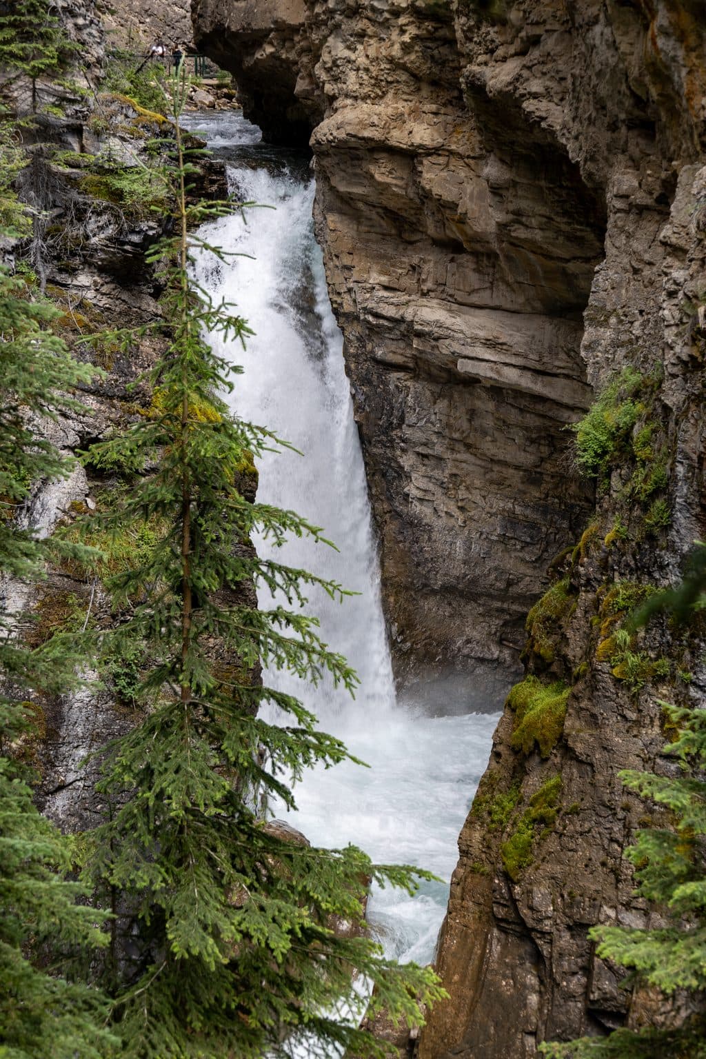 EasyJohnston Canyon Lower Falls2.4 km · 1 hr · 3.8 km awayShort, easy canyon walk to a roaring waterfall and spray-filled cave
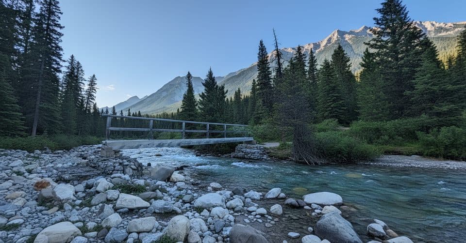 ChallengingMystic Pass via Johnston Canyon26.1 km · 11 hr · 3.8 km awayCanyon bridges, Ink Pots and a hard climb to alpine Mystic Pass.
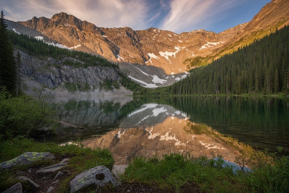 ChallengingMystic Lake via Johnston Canyon34.2 km · 14 hr · 3.8 km awayA demanding backcountry traverse to Mystic Lake and over Mystic Pass.
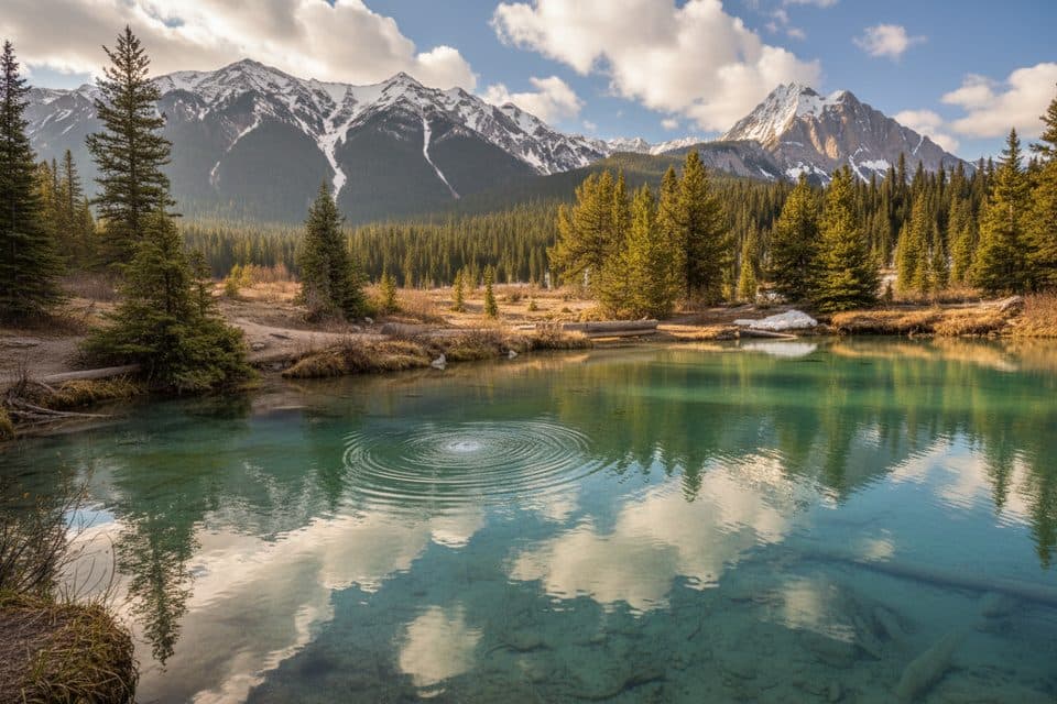 ModerateInk Pots via Moose Meadows11.4 km · 4 hr · 5.5 km awayA quieter forest approach to the bubbling Ink Pots mineral springs.
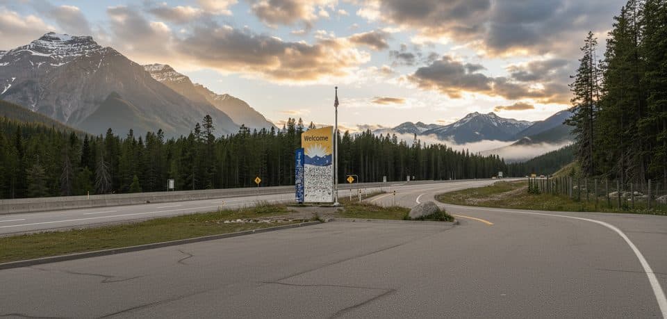 Scenic pullout · 1.7 km awayRest Area - Banff National Park, Hwy 1Quick Hwy 1 stop with toilets and a wildlife crossing exhibit
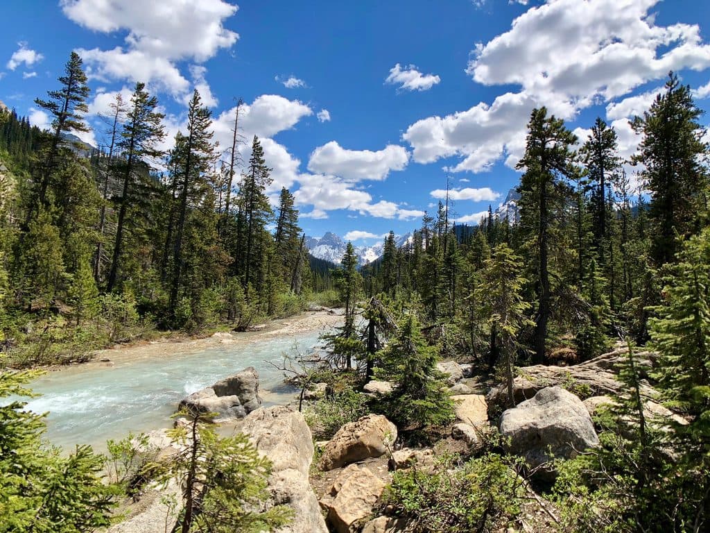 Sight · 3.8 km awayJohnston CanyonCatwalks through a limestone gorge to roaring falls and winter ice
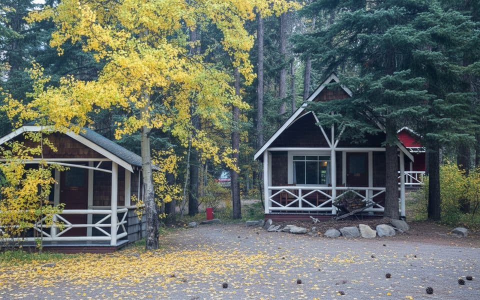 Lodging · 3.9 km awayJohnston Canyon Lodge and BungalowsHeritage cabins steps from Johnston Canyon’s catwalks and waterfalls
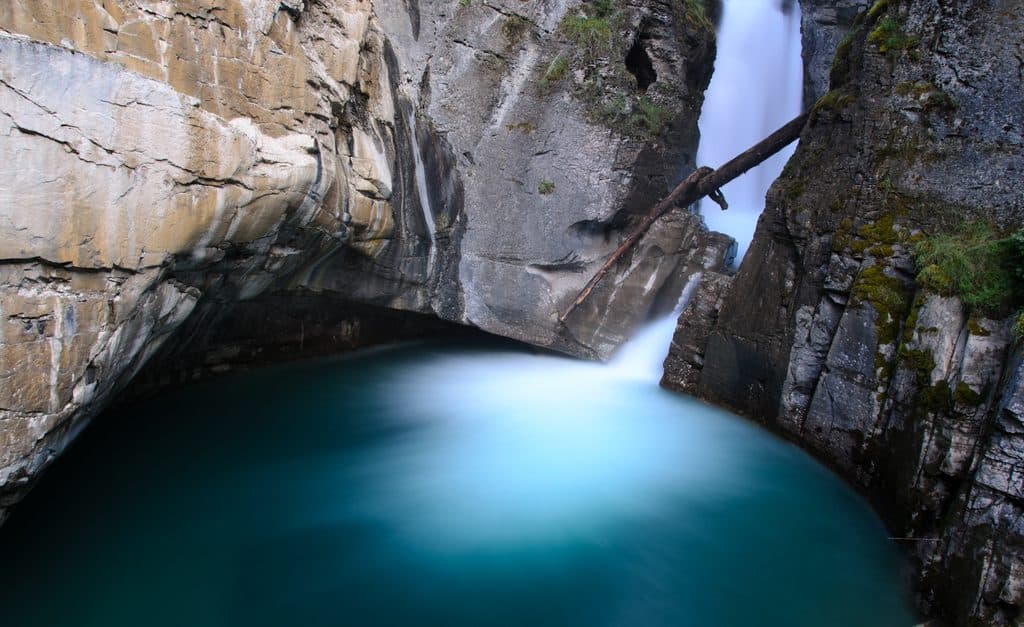 Sight · 4.4 km awayLower FallsClose-up tunnel view of a roaring canyon waterfall
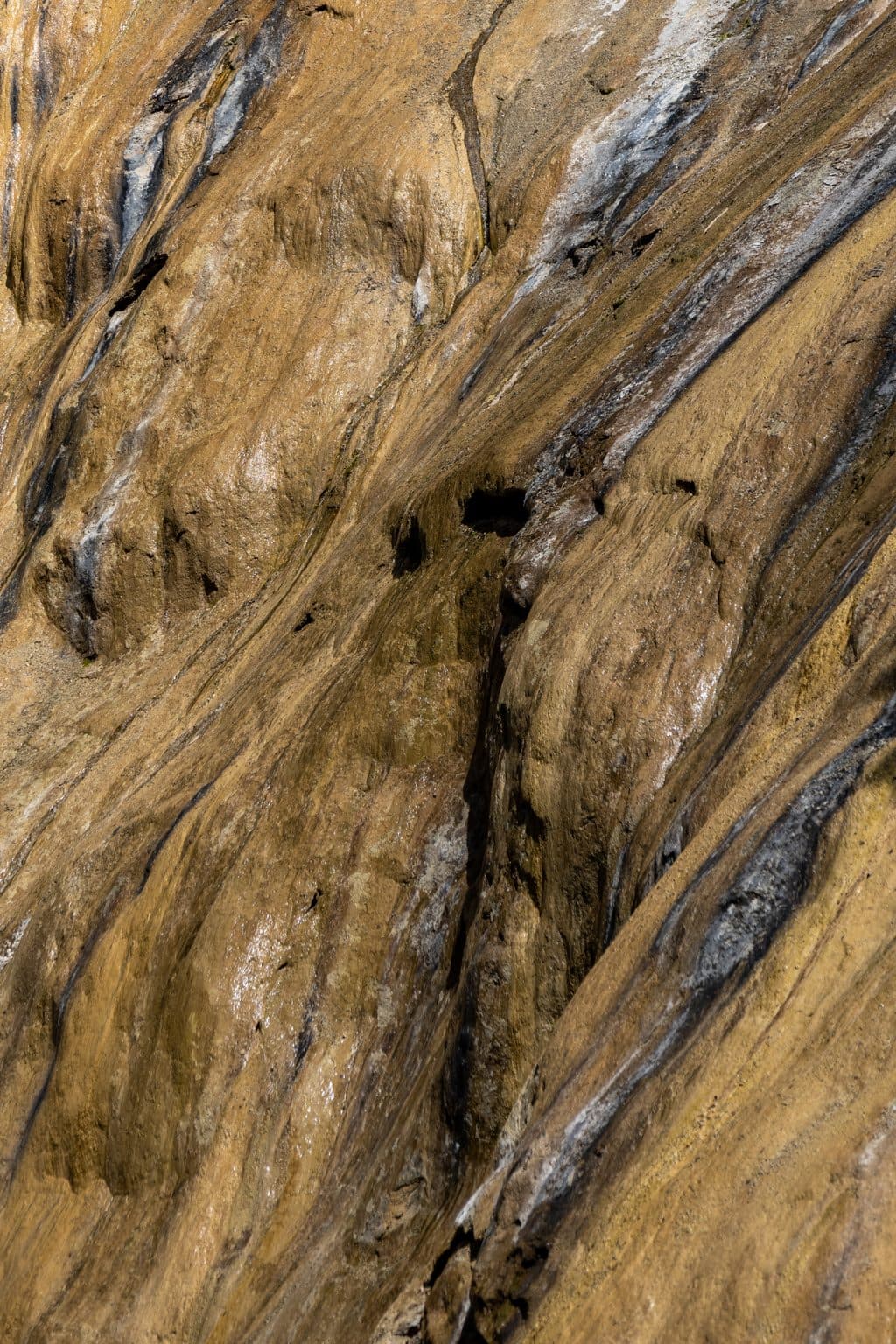 Sight · 5 km awayUpper FallsIconic 30 m cascade reached by catwalks through a limestone gorge
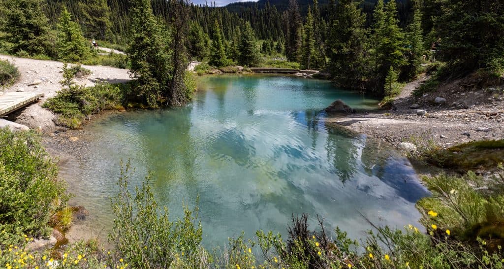 Sight · 6.6 km awayInk PotsBubbling blue-green springs in a wide mountain meadow beyond Johnston Canyon
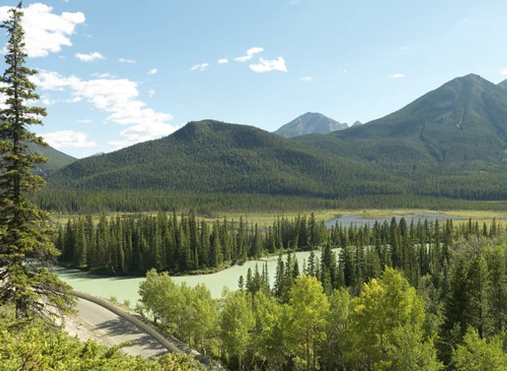 Picnic area · 7.4 km awayMuleshoeQuiet Bow Valley picnic stop with montane forest and wildlife
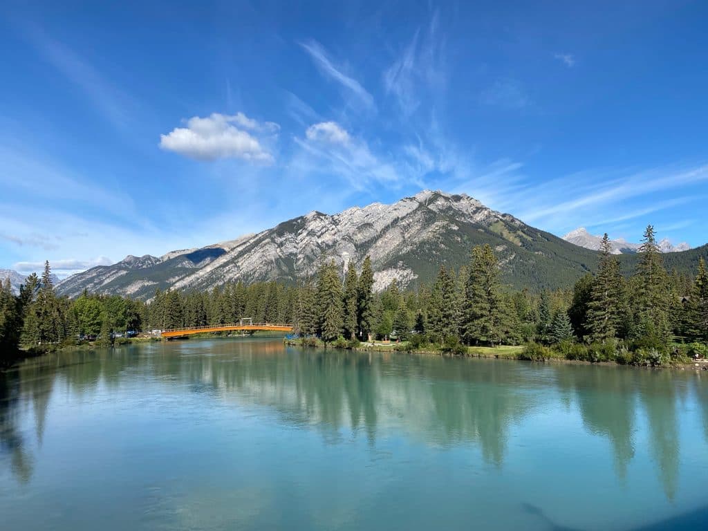 Sight · 8.2 km awayMount CorySteep scramble to big views over Louis, Edith and Gargoyle Valley
Parkwolf’s Banff ranking
The audio tour guide for the drive, plus offline maps, trails, and wildlife heatmaps for when the signal drops.





