
Place
Moderate
This is a classic Banff high-country walk: a no-frills approach that explodes into lakes, meadows, and sweeping views the moment you crest Boulder Pass. Ptarmigan Lake sits right beside the pass, so you get the pass-and-lake combo without extra detours. Expect pikas chirping from talus and marmots lounging in the meadows.
Start from the Fish Creek parking area off Whitehorn Road by the Lake Louise Ski Area. The first ~4 km (about 2.5 miles) are on a wide service/access road—fast but not thrilling. From there, the trail becomes classic alpine singletrack, climbing steadily to Boulder Pass (about 2,340 m) and immediately to Ptarmigan Lake. Plan on roughly 5.5 miles one way (11 miles total) with about 2,130 ft (650 m) of gain to the pass and lake. Most hikers take 2.5–3 hours one way to the lake. If you’ve got more in the tank, continuing toward Deception Pass opens even bigger Skoki views, but that’s a longer day.
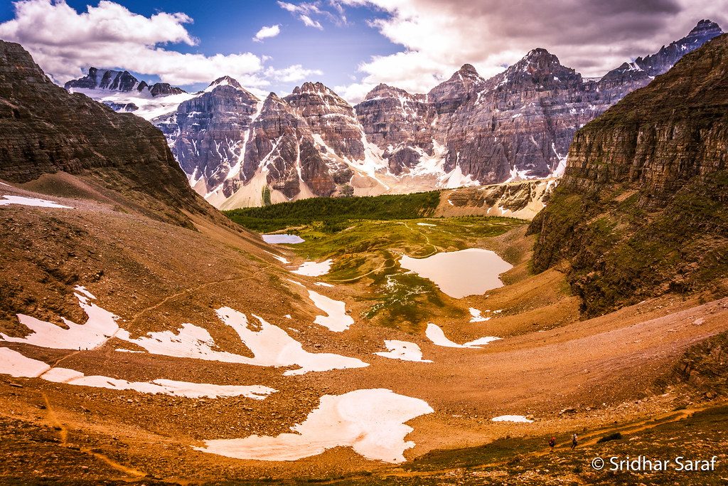
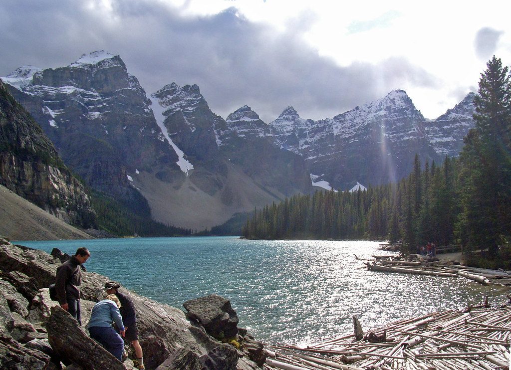
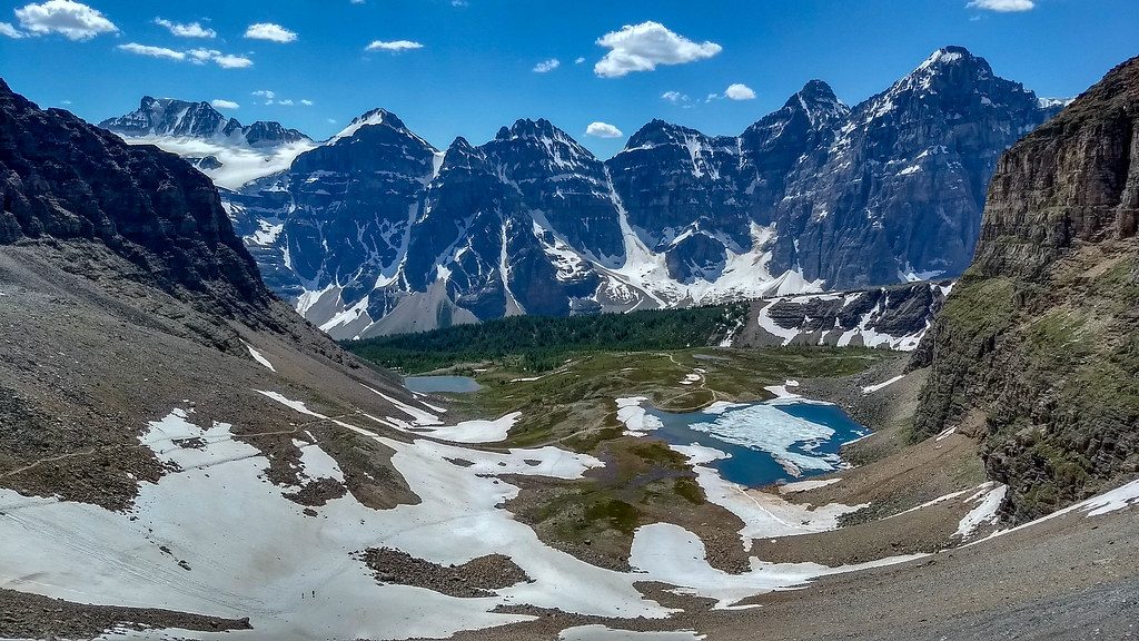
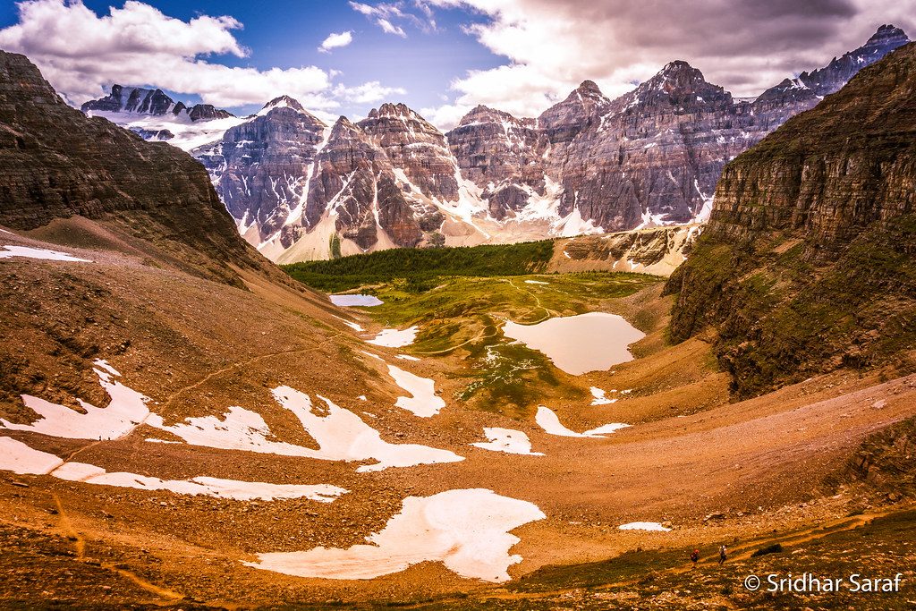
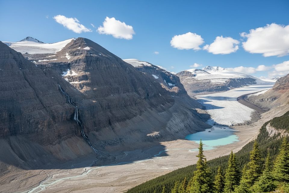
Above treeline, you’ll wander through wildflower meadows and along shorelines with big looks toward the Slate Range and distant glaciers. The pass is strewn with boulders (it’s not just a name), and the lake often mirrors surrounding peaks. The terrain past the pass feels surprisingly wild and secluded considering how close you started to Lake Louise.
Yes—if you don’t mind earning your views on that initial service road. The payoff around and beyond Boulder Pass is the real deal. If you want a deeper sampler of the area, tack on a push toward Deception Pass or plan a backpack into the Skoki network (permits required). There’s a historic lodge in the area for those booking well in advance, but most day hikers simply tag the lake and head back.
Late June through September is prime for snow-free travel and peak wildflowers. Early fall brings crisp air and larch color, but weather can turn quickly and snow may arrive early. Start early for calmer winds and better light on the lake, and always check for late-summer wildlife-related restrictions.
Park at the signed Fish Creek parking area off Whitehorn Road near the Lake Louise Ski Area; follow the short gravel spur to the lot—no public vehicle access beyond the gate.
Snow can linger into early summer; the pass is exposed to wind and fast-changing weather. Intersections are signed but bring a map/GPS in case visibility drops. Watch for seasonal wildlife restrictions; camping requires a backcountry permit. Dogs must be leashed.
Place
Place
Place
Place
Easy
Challenging
Challenging
Moderate

Parkwolf Tour Guide
