Parking
Park at the Banff Sunshine Village base area and use the sightseeing gondola and Standish Chairlift to reach the upper route start; lift access and operating schedules are seasonal.
Banff National Park, AB
Alpine loop to a quartz-capped summit above Sunshine Meadows
Overview
Quartz Hill is a high-alpine loop above Sunshine Meadows, with wildflower meadows, open ridge walking, shallow alpine lakes, and broad views toward Mount Assiniboine and the surrounding Continental Divide. The route starts at the upper Standish Chairlift terminal, follows the Citadel Pass corridor toward Quartz Ridge, climbs around the Quartz Hill summit area, and returns by a separate ridge line rather than retracing the entire route.
Plan on about 7.2 miles (11.6 km) and 4–4.5 hours for the complete loop, with roughly 500–600 m of cumulative climbing depending on the exact line and conditions. This is the lift-accessed summer visitor variant: drive to Banff Sunshine Village, ride the gondola and Standish Chairlift, then begin from the upper alpine terminal. The route is not the 26 km base-area ski outing sometimes associated with Quartz Hill.
The lower section shares the well-used Sunshine Meadows and Citadel Pass approach, while the Quartz Ridge and summit section is exposed alpine terrain where the tread can be faint or less formal. There are no services once you leave the upper facilities. Carry water, layers, navigation, and bear spray; weather can change quickly, and snow or mud may persist into summer. Check official trail, lift, and seasonal-closure information before setting out.
Map & elevation
Plan your hike

The highest, rockiest slopes around here are a summer buffet for grizzly bears.
Banff Tour Guide
Parkwolf is a GPS audio tour guide for Banff National Park. As you drive, it chimes in with what’s ahead: hidden gems, upcoming stops, history, geology, and wildlife, right through your car’s speakers.
Recorded for this area
Sunshine Mountain Lodge: Banff's Only On-Mountain Stay“The road ahead leads to the base of Sunshine Village, which is how you access the Sunshine Mountain Lodge.”
Plays near this trailhead in the Parkwolf Banff Tour Guide.
More stories near here in the app
“…Loved the commentary as you drove thru. I’m sure the app can do more than I know but the tips were very helpful. I’m gonna use it when we go to Banff next month.”


Wildlife
 122 sightingsGrizzly BearMost seen around 6 AMSighting map
 150 sightingsBrown BearMost seen around 6 PMSighting map
 44 sightingsGray WolfMost seen around 6 AMSighting map
 12 sightingsRiver OtterMost seen around 8 PMSighting map
 67 sightingsMooseMost seen around 8 PMSighting map
 465 sightingsBlack BearMost seen around 9 PMSighting map
Sighting maps show where each species has been reported across Banff. Wildlife moves, so no sighting is guaranteed.
Keep exploring
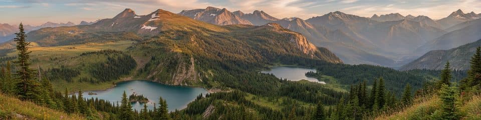 ChallengingCitadel Pass18.5 km · 6.5 hr · At the trailheadA long alpine walk to the Continental Divide and Mount Assiniboine views
 ModerateSunshine Meadows Loop11.9 km · 3.5 hr · 0.1 km awayA high-alpine figure-eight through Rock Isle, Grizzly, and Larix Lakes
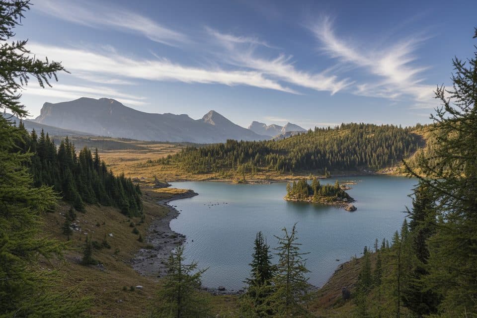 ModerateGrizzly-Larix Loop8.5 km · 3 hr · 0.1 km awayA high-alpine lollipop to Grizzly and Larix Lakes through Sunshine MeadowsModerateSimpson Pass12.6 km · 4.1 hr · 0.1 km awayOne-way alpine route from Sunshine Village over Simpson and Healy Passes to Egypt Lake.
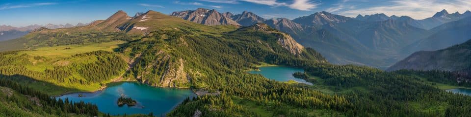 EasyTwin Cairns and Monarch Viewpoint7.4 km · 2.5 hr · 0.4 km awayAn easy alpine ramble to Monarch's big views
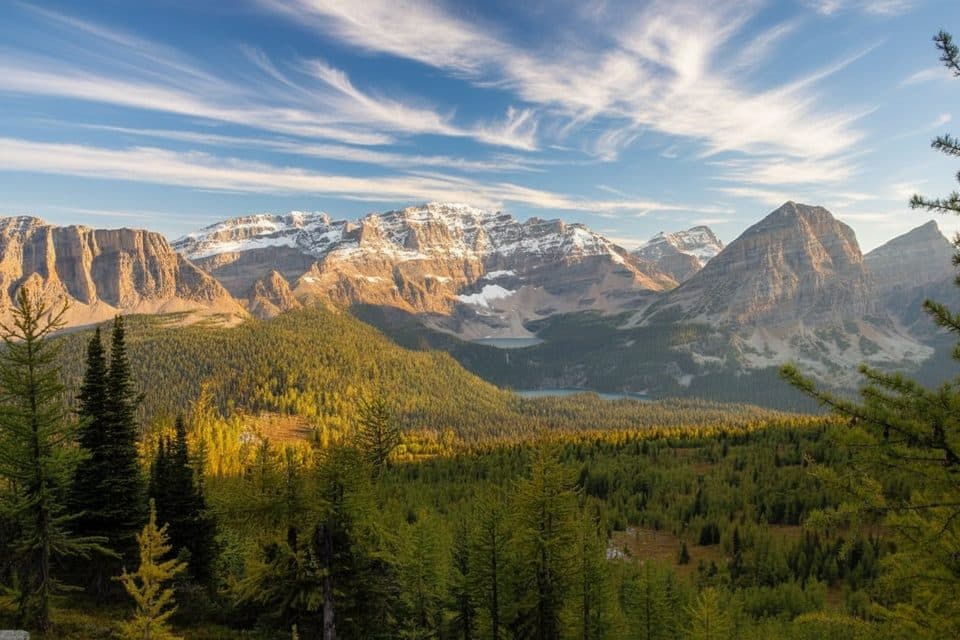 ModerateSunshine Village Simpson Pass Trail10.5 km · 5 hr · 0.4 km awayAlpine meadows lead to the Alberta–B.C. border at Simpson Pass
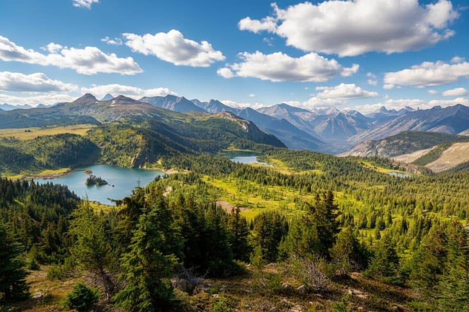 EasyStandish Viewpoint Loop0.8 km · 1 hr · 0.9 km awayA short lift-access loop to a high-alpine viewing deck
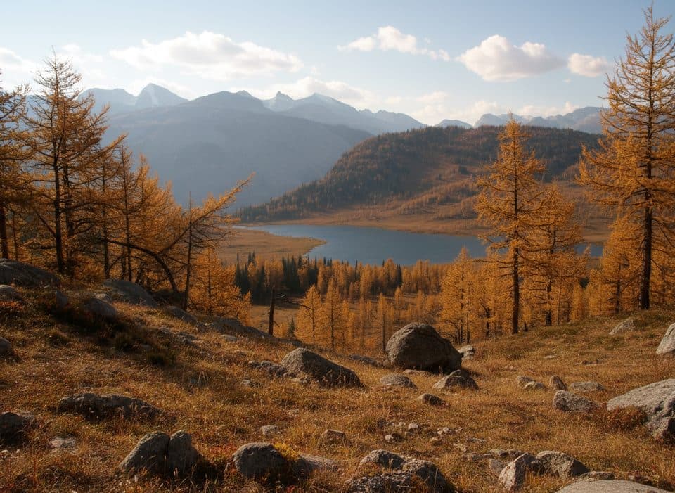 ModerateEohippus Lake Trail14.6 km · 6 hr · 1.1 km awayHard alpine out-and-back from Sunshine Village to a quiet lake beyond Simpson Pass
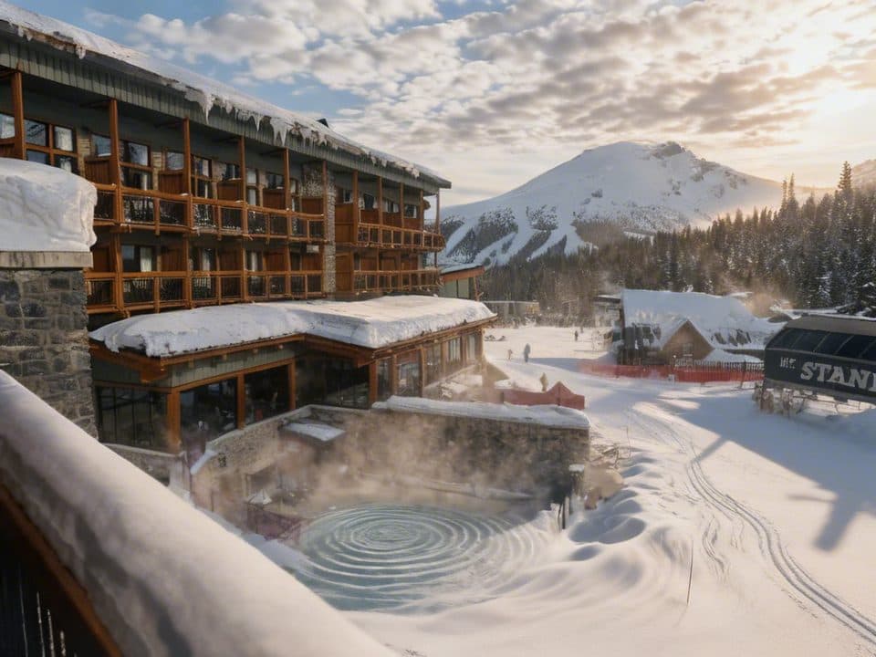 Lodging · At the trailheadSunshine Mountain LodgeOnly on-mountain stay with gondola access and huge hot tub
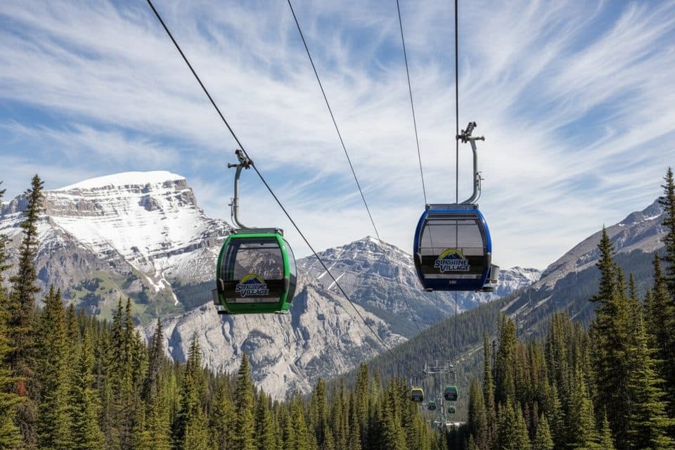 Sight · 0.4 km awaySunshine Village GondolaScenic 20-minute lift to wildflower meadows and alpine lakes
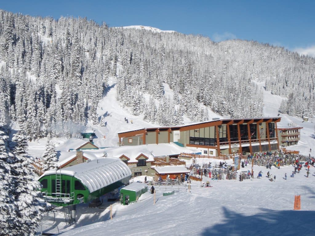 Sight · 0.4 km awaySunshine VillageHigh-alpine resort with summer meadows and a season stretching to May
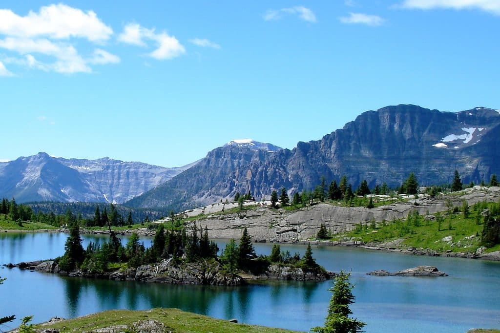 Sight · 1.2 km awaySunshine MeadowsGondola-access alpine meadows with wildflowers, lakes, and huge views
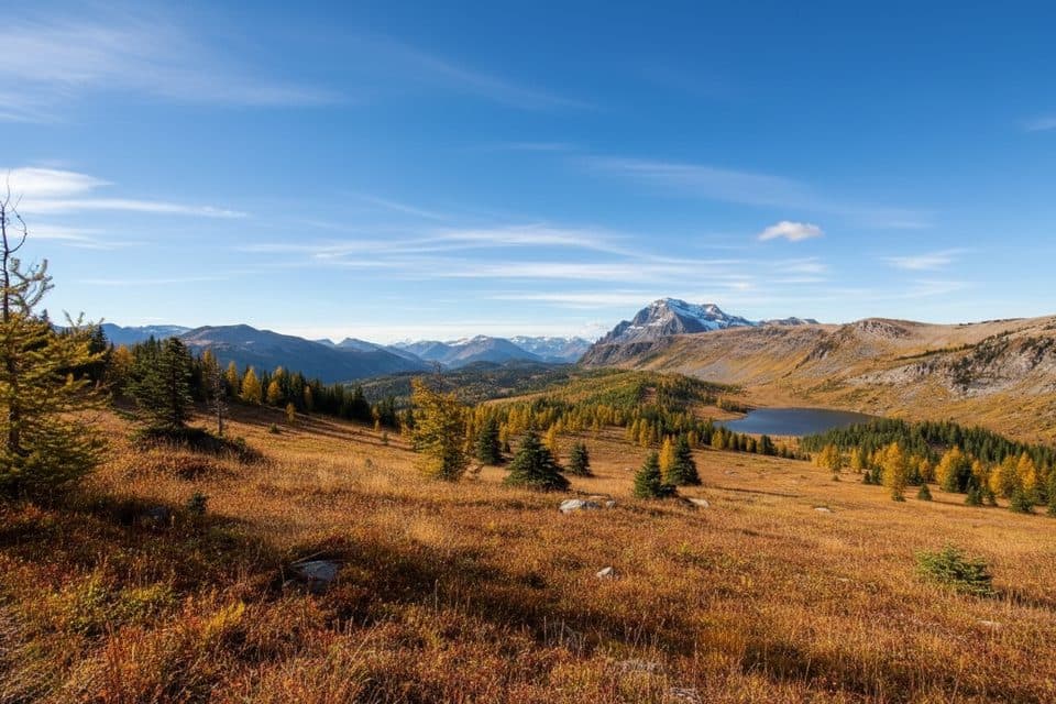 Sight · 3.3 km awaySimpson PassQuiet Divide meadow linking Sunshine to Healy and Egypt Lake
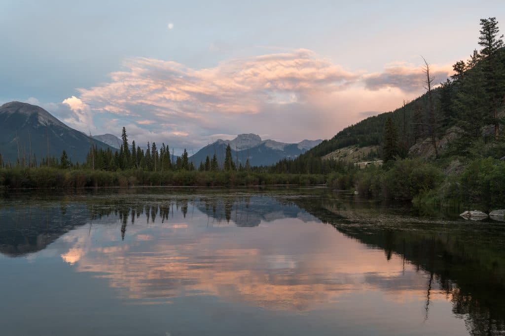 Sight · 5.9 km awayMount BourgeauA big, non-technical summit day with lakes, passes, and huge views
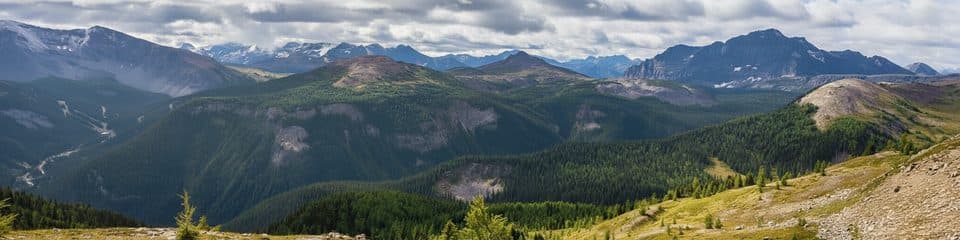 Sight · 6.2 km awayHarvey PassQuiet alpine pass with tarns, marmots, and Assiniboine views
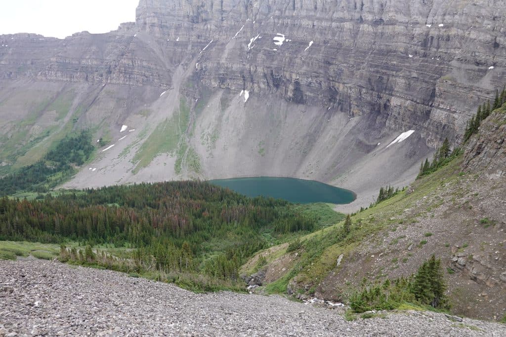 Sight · 6.4 km awayBourgeau LakeRock-rimmed alpine cirque with a waterfall approach and fall larches
Parkwolf’s Banff ranking

The audio tour guide for the drive, plus offline maps, trails, and wildlife heatmaps for when the signal drops.




