
Place
Moderate
If you want Banff’s big-mountain backcountry without the tourist crush, the Skoki Valley Trail (often called the Skoki Loop) is a gem. Expect a 25–28 mile total loop (40–45 km) with roughly 3,900–4,300 feet (1,200–1,330 m) of gain, done in 3–4 days depending on side trips. It’s a moderate backpack that rewards with aquamarine lakes, flower-choked meadows, and sweeping pass-to-pass vistas.
Start from the Fish Creek parking area near the Lake Louise Ski Resort. The approach is a reality check: about 4 km up the Temple Fire Road/Lake Louise Ski Out—wide, steady, and frankly dull. Past that, you’re on singletrack through subalpine forest toward the historic Halfway Hut and into the alpine basins that make this loop special.
The heart of the route strings together Boulder Pass, Ptarmigan Lake, and Deception Pass, with options to continue through Baker Lake and deeper into the Skoki network. Many itineraries swing by Merlin Meadows or Skoki Lodge (a rustic backcountry lodge dating to the 1930s) and can add side trips to Merlin Lake or scrambles on local peaks. Navigation is generally straightforward, but faint, braided paths around Red Deer Lakes can cause confusion—carry a good map or GPS.
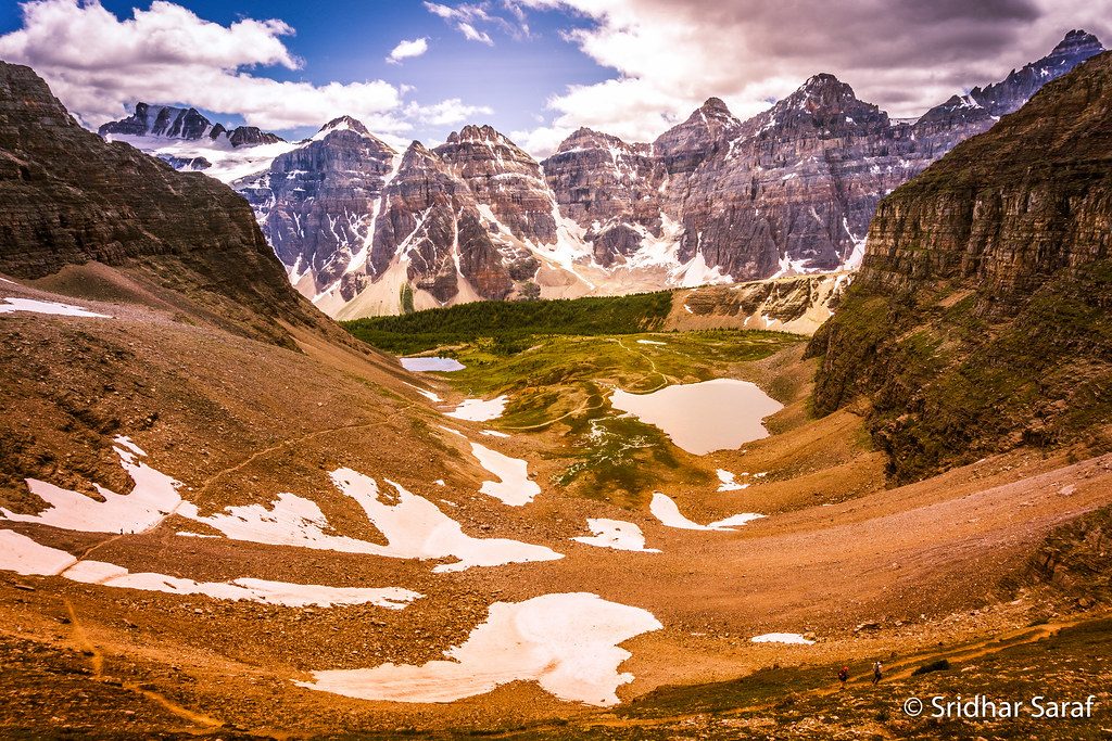
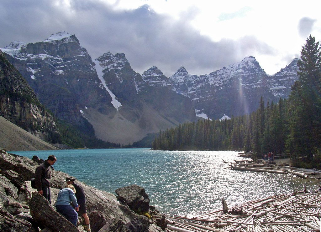
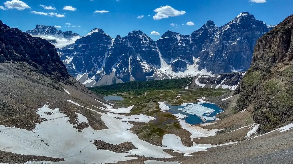
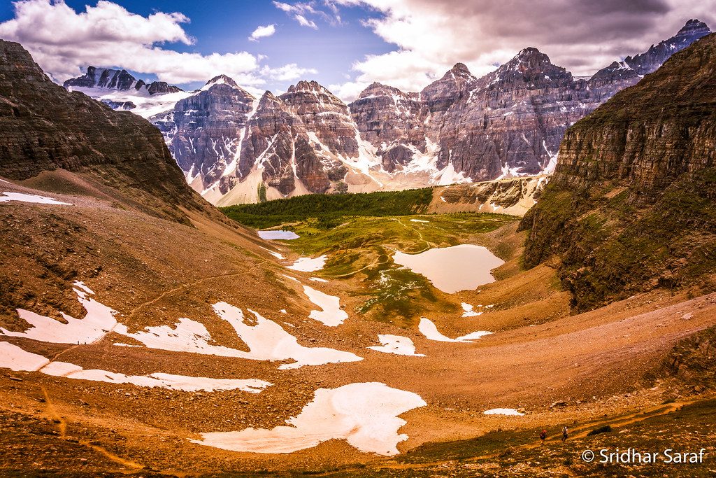
Scenery delivers in layers: classic glacially carved valleys, rugged limestone peaks, and broad meadows that pop with wildflowers in late July. Wildlife sightings are common—marmots whistling on talus, mountain goats on the cliffs, and yes, this is prime grizzly country. Water is plentiful along the route, but treat everything.
Best time to hike: mid-July to early September. Snow lingers well into summer, and weather changes fast at elevation. Late July is peak wildflower season; September brings thinner crowds and golden larches. Start early at the trailhead in peak season—parking can fill.
Tips: Book backcountry campsites well ahead for summer dates. Pack light; the elevation and distance add up. Bring bear spray and know how to use it, keep groups tight, and store food properly. A wind layer and sun protection are mandatory—exposure over the passes can be intense. For a bonus day, tag Merlin Lake or a nearby summit when weather is stable.
Bottom line: The Skoki Valley Trail is a top-tier Banff backpack—less flashy than roadside classics, but more immersive. If the initial road walk turns you off, grit your teeth; the alpine payoff is worth it.
Park at the Fish Creek parking area near the Lake Louise Ski Resort (access via Whitehorn Road). Arrive early in peak season; the lot can fill.
Exposed alpine terrain with rapid weather shifts; prime grizzly habitat—carry bear spray and store food properly. Navigation can be tricky around Red Deer Lakes; bring a reliable map/GPS. Treat all water.
Place
Place
Place
Place
Easy
Challenging
Challenging
Moderate

Parkwolf Tour Guide
